Phillipsville (formerly Kettintelbe, Philippsville, and Phillips Flat) is a census-designated place in Humboldt County, California. It is located on the South Fork of the Eel River 7.5 miles (12.1 km) north of Garberville, at an elevation of 289 feet (88 m). It is the southernmost town on the Avenue of the Giants. Near the town is the Chimney Tree. This is a redwood tree that resembles a chimney. The ZIP Code is 95559. The community is inside area code 707. The population was 140 at the 2010 census.
| Name: | Phillipsville CDP |
|---|---|
| LSAD Code: | 57 |
| LSAD Description: | CDP (suffix) |
| State: | California |
| County: | Humboldt County |
| Elevation: | 289 ft (88 m) |
| Total Area: | 0.743 sq mi (1.925 km²) |
| Land Area: | 0.715 sq mi (1.852 km²) |
| Water Area: | 0.028 sq mi (0.073 km²) 3.8% |
| Total Population: | 124 |
| Population Density: | 170/sq mi (64/km²) |
| ZIP code: | 95559 |
| Area code: | 707 |
| FIPS code: | 0656854 |
Online Interactive Map
Click on ![]() to view map in "full screen" mode.
to view map in "full screen" mode.
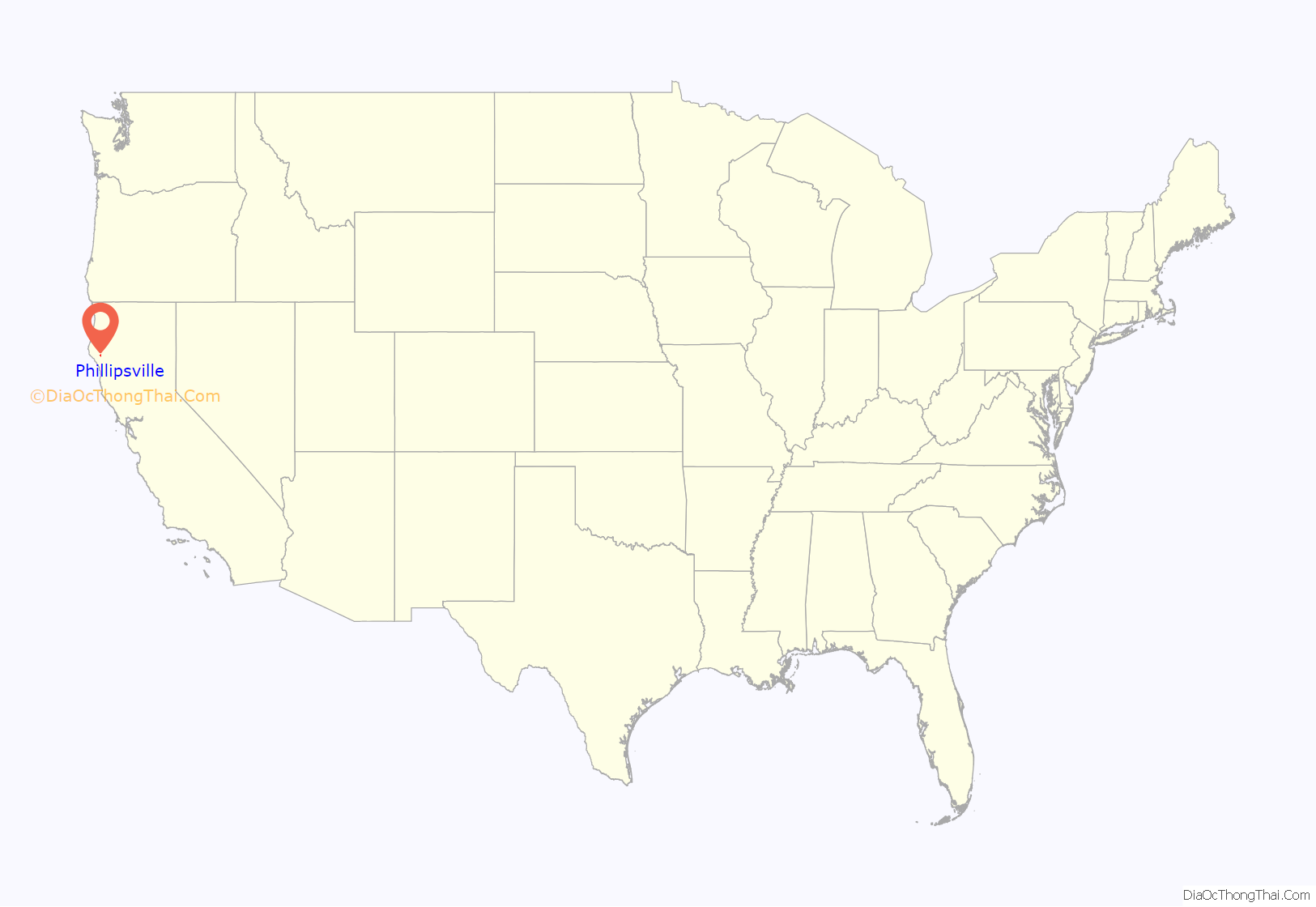
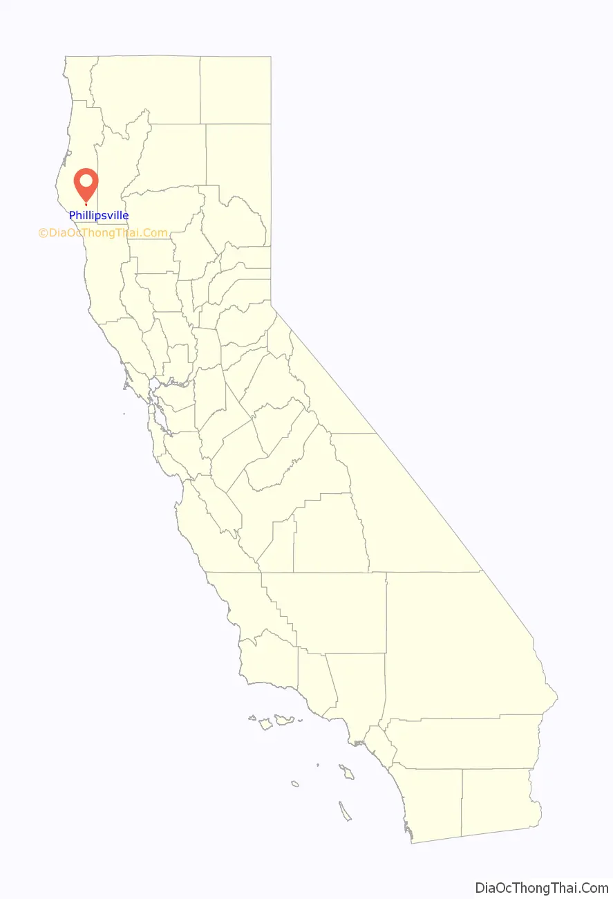
Phillipsville location map. Where is Phillipsville CDP?
History
A post office operated at Phillipsville from 1883 to 1912, and from 1948 to the present. The name was originally Philips Flat, in honor of George Stump Philips who settled at the place in 1865. The name was changed to Kettintelbe after a local Native American village, but reverted to Phillipsville when the post office reopened in 1948. Phillipsville was home to many popular hotels, including the Riverwood Inn, Madrona Motel, and the DeerHorn Lodge.
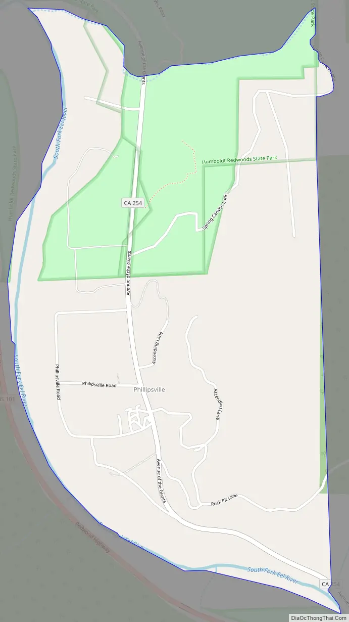
Phillipsville Road Map
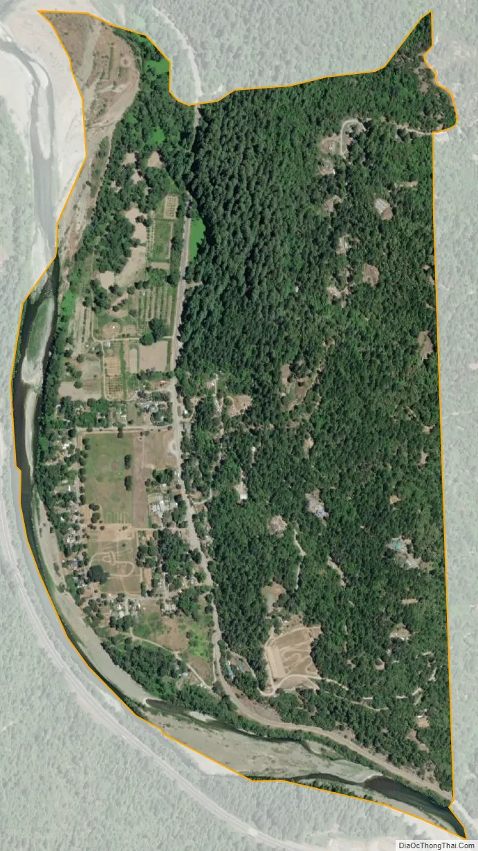
Phillipsville city Satellite Map
See also
Map of California State and its subdivision:- Alameda
- Alpine
- Amador
- Butte
- Calaveras
- Colusa
- Contra Costa
- Del Norte
- El Dorado
- Fresno
- Glenn
- Humboldt
- Imperial
- Inyo
- Kern
- Kings
- Lake
- Lassen
- Los Angeles
- Madera
- Marin
- Mariposa
- Mendocino
- Merced
- Modoc
- Mono
- Monterey
- Napa
- Nevada
- Orange
- Placer
- Plumas
- Riverside
- Sacramento
- San Benito
- San Bernardino
- San Diego
- San Francisco
- San Joaquin
- San Luis Obispo
- San Mateo
- Santa Barbara
- Santa Clara
- Santa Cruz
- Shasta
- Sierra
- Siskiyou
- Solano
- Sonoma
- Stanislaus
- Sutter
- Tehama
- Trinity
- Tulare
- Tuolumne
- Ventura
- Yolo
- Yuba
- Alabama
- Alaska
- Arizona
- Arkansas
- California
- Colorado
- Connecticut
- Delaware
- District of Columbia
- Florida
- Georgia
- Hawaii
- Idaho
- Illinois
- Indiana
- Iowa
- Kansas
- Kentucky
- Louisiana
- Maine
- Maryland
- Massachusetts
- Michigan
- Minnesota
- Mississippi
- Missouri
- Montana
- Nebraska
- Nevada
- New Hampshire
- New Jersey
- New Mexico
- New York
- North Carolina
- North Dakota
- Ohio
- Oklahoma
- Oregon
- Pennsylvania
- Rhode Island
- South Carolina
- South Dakota
- Tennessee
- Texas
- Utah
- Vermont
- Virginia
- Washington
- West Virginia
- Wisconsin
- Wyoming


