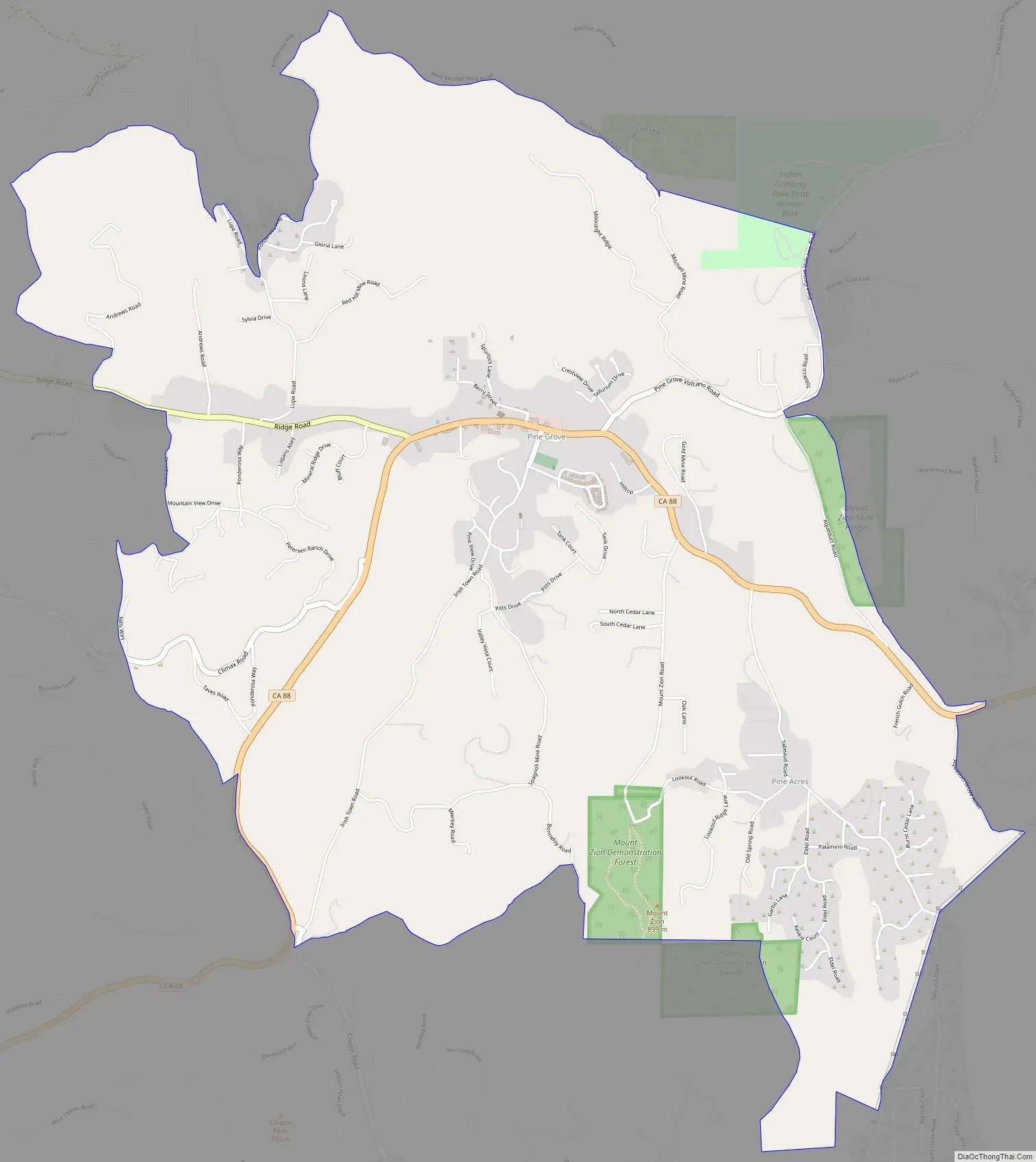
Pine Grove is a census-designated place in Amador County, California. It lies at an elevation of 2513 feet (766 m). The population was 2,219 at the 2010 census. It is located at 38°24′47″N 120°39′32″W / 38.41306°N 120.65889°W / 38.41306; -120.65889, along State Route 88. The community is in ZIP code 95665 and area code 209.
The current boundaries of Pine Grove include the former mining towns of Clinton and Irishtown. The town also is home to Indian Grinding Rock State Historic Park.
A post office opened in Pine Grove in 1856.
| Name: | Pine Grove CDP |
|---|---|
| LSAD Code: | 57 |
| LSAD Description: | CDP (suffix) |
| State: | California |
| County: | Amador County |
| Elevation: | 766 m (2,513 ft) |
| Total Area: | 18.049 km² (6.969 sq mi) |
| Land Area: | 18.049 km² (6.969 sq mi) |
| Water Area: | 0 km² (0 sq mi) 0% |
| Total Population: | 2,219 |
| Population Density: | 120/km² (320/sq mi) |
| ZIP code: | 95665 |
| Area code: | 209 |
| FIPS code: | 0657148 |
| GNISfeature ID: | 1659391; 2583114 |
Online Interactive Map
Click on ![]() to view map in "full screen" mode.
to view map in "full screen" mode.
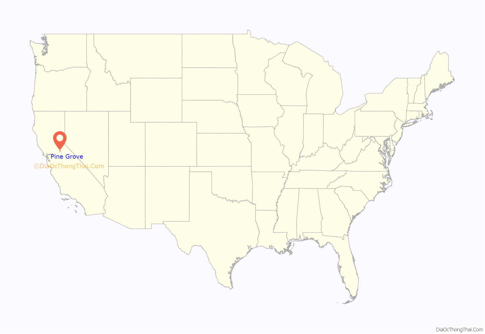
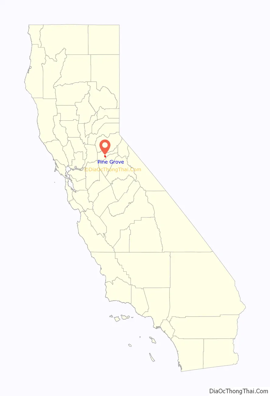
Pine Grove location map. Where is Pine Grove CDP?
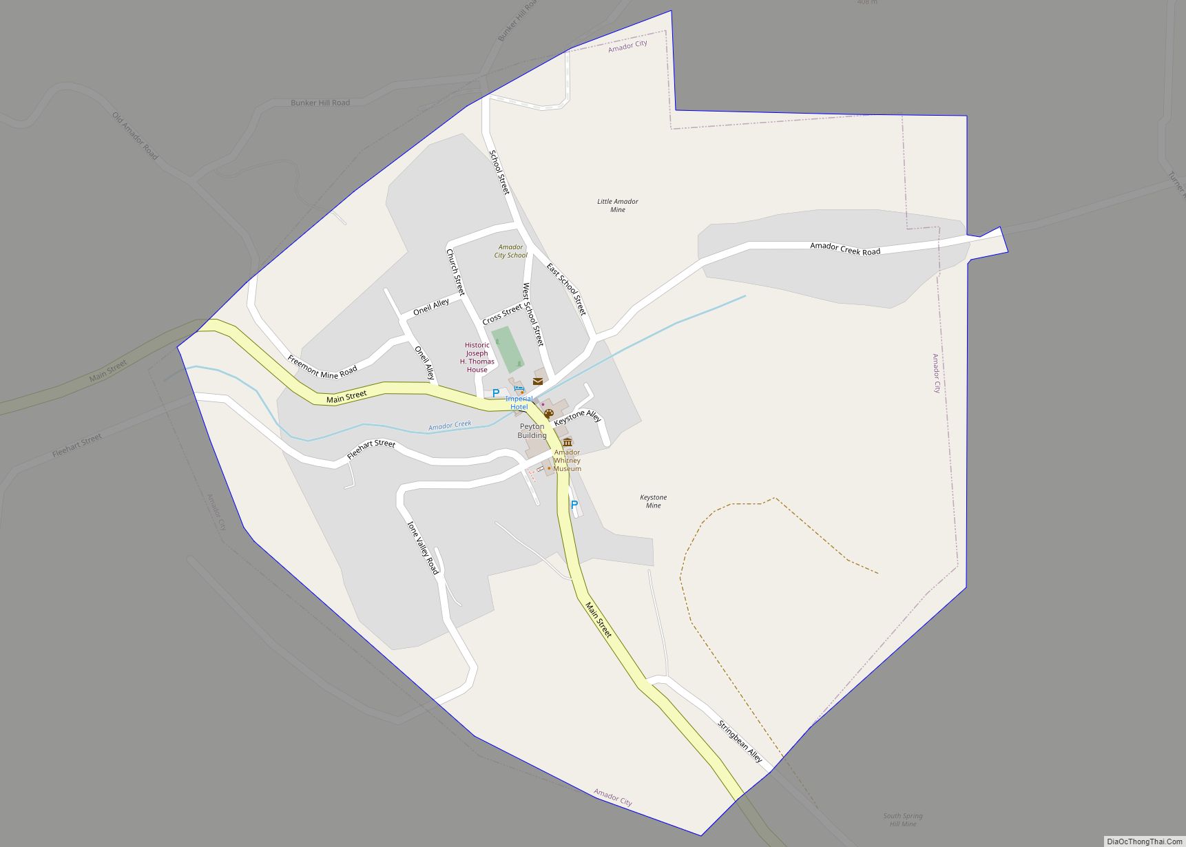
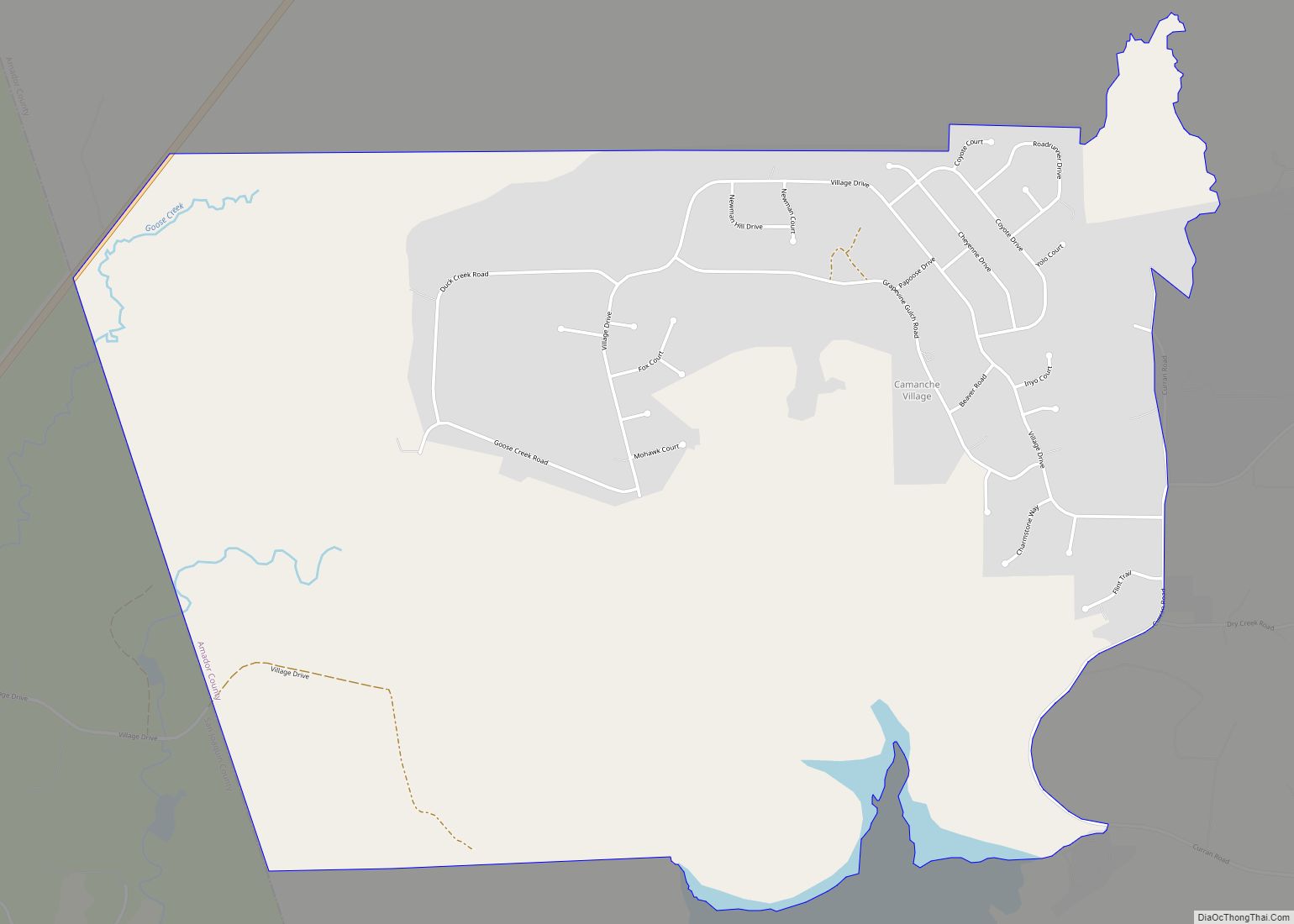
Pine Grove Road Map
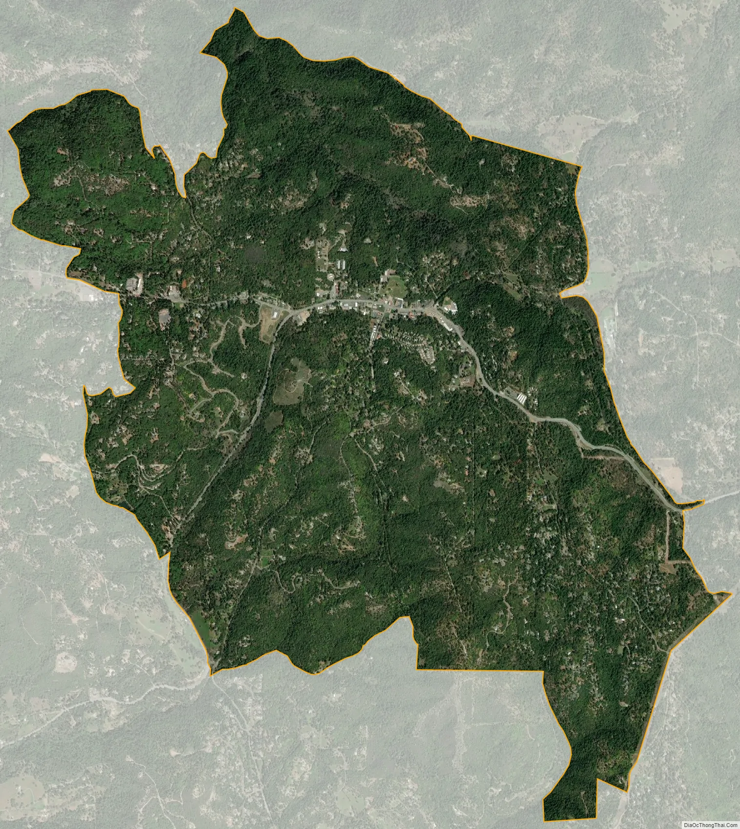
Pine Grove city Satellite Map
See also
Map of California State and its subdivision:- Alameda
- Alpine
- Amador
- Butte
- Calaveras
- Colusa
- Contra Costa
- Del Norte
- El Dorado
- Fresno
- Glenn
- Humboldt
- Imperial
- Inyo
- Kern
- Kings
- Lake
- Lassen
- Los Angeles
- Madera
- Marin
- Mariposa
- Mendocino
- Merced
- Modoc
- Mono
- Monterey
- Napa
- Nevada
- Orange
- Placer
- Plumas
- Riverside
- Sacramento
- San Benito
- San Bernardino
- San Diego
- San Francisco
- San Joaquin
- San Luis Obispo
- San Mateo
- Santa Barbara
- Santa Clara
- Santa Cruz
- Shasta
- Sierra
- Siskiyou
- Solano
- Sonoma
- Stanislaus
- Sutter
- Tehama
- Trinity
- Tulare
- Tuolumne
- Ventura
- Yolo
- Yuba
- Alabama
- Alaska
- Arizona
- Arkansas
- California
- Colorado
- Connecticut
- Delaware
- District of Columbia
- Florida
- Georgia
- Hawaii
- Idaho
- Illinois
- Indiana
- Iowa
- Kansas
- Kentucky
- Louisiana
- Maine
- Maryland
- Massachusetts
- Michigan
- Minnesota
- Mississippi
- Missouri
- Montana
- Nebraska
- Nevada
- New Hampshire
- New Jersey
- New Mexico
- New York
- North Carolina
- North Dakota
- Ohio
- Oklahoma
- Oregon
- Pennsylvania
- Rhode Island
- South Carolina
- South Dakota
- Tennessee
- Texas
- Utah
- Vermont
- Virginia
- Washington
- West Virginia
- Wisconsin
- Wyoming