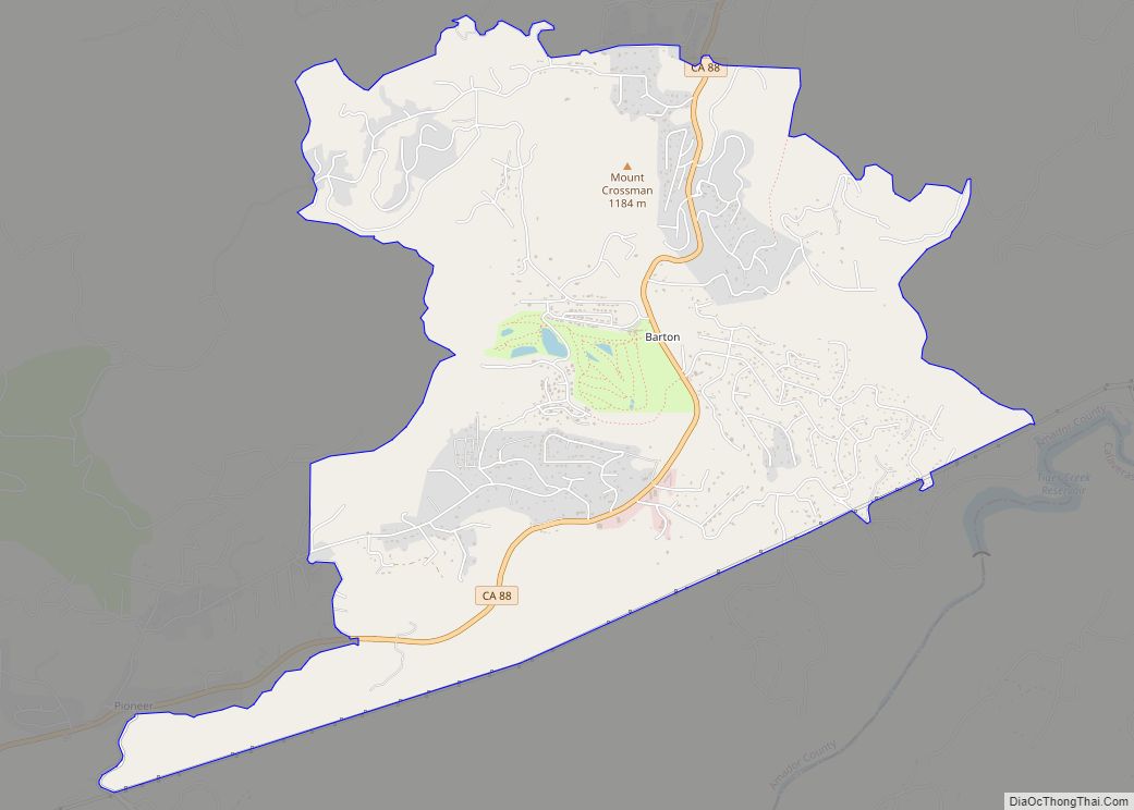
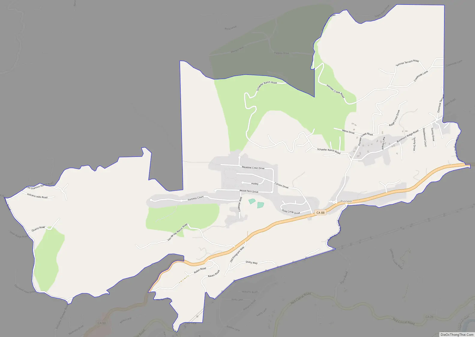
Pioneer is a census-designated place in Amador County, California. It is located 5 miles (8.0 km) east-northeast of Pine Grove, at an elevation of 2986 feet (910 m), along State Route 88. The community is in ZIP code 95666 and area code 209. The population was 1,094 at the 2010 census.
Pioneer Station, built approximately 1925, is located in Pioneer however, it was never a Pony Express stop, a popular fallacy. It was a general store selling gas, water, and offering camping sites. The old Pioneer Station still stands and is currently a private residence.
A post office opened in Pioneer in 1947.
| Name: | Pioneer CDP |
|---|---|
| LSAD Code: | 57 |
| LSAD Description: | CDP (suffix) |
| State: | California |
| County: | Amador County |
| Elevation: | 2,986 ft (910 m) |
| Total Area: | 4.321 sq mi (11.190 km²) |
| Land Area: | 4.321 sq mi (11.190 km²) |
| Water Area: | 0 sq mi (0 km²) 0% |
| Total Population: | 1,094 |
| Population Density: | 250/sq mi (98/km²) |
| ZIP code: | 95666 |
| Area code: | 209 |
| FIPS code: | 0657330 |
Online Interactive Map
Click on ![]() to view map in "full screen" mode.
to view map in "full screen" mode.
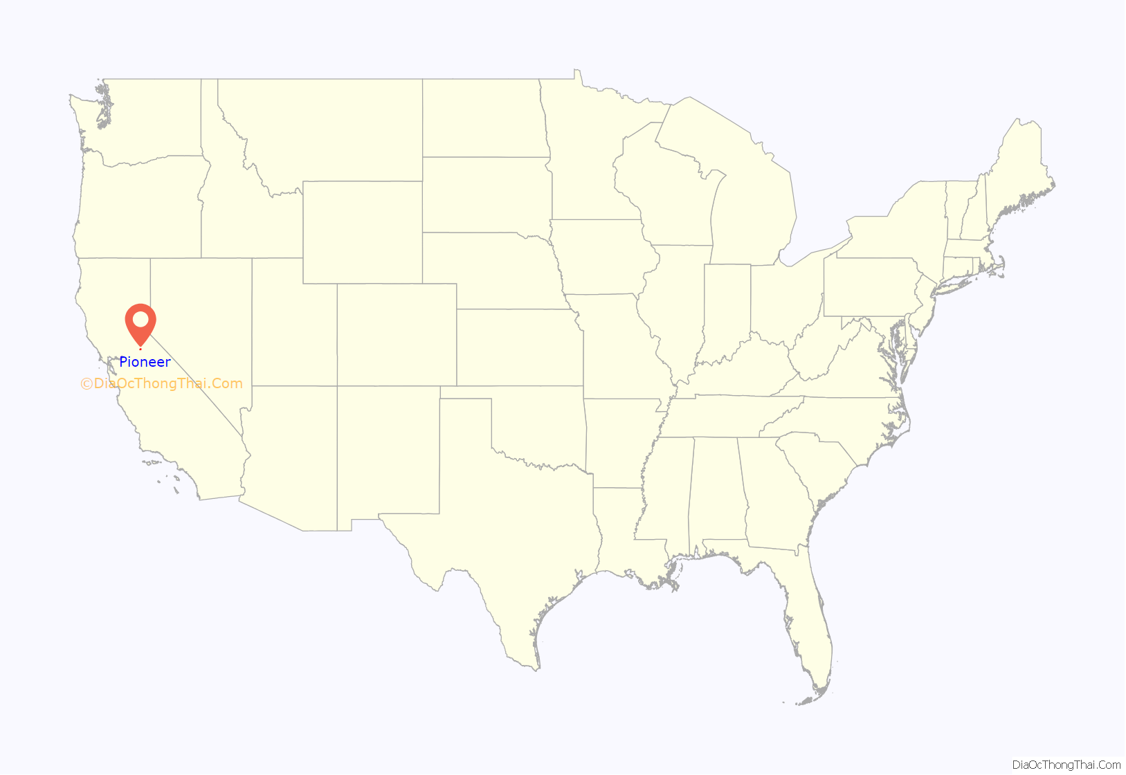
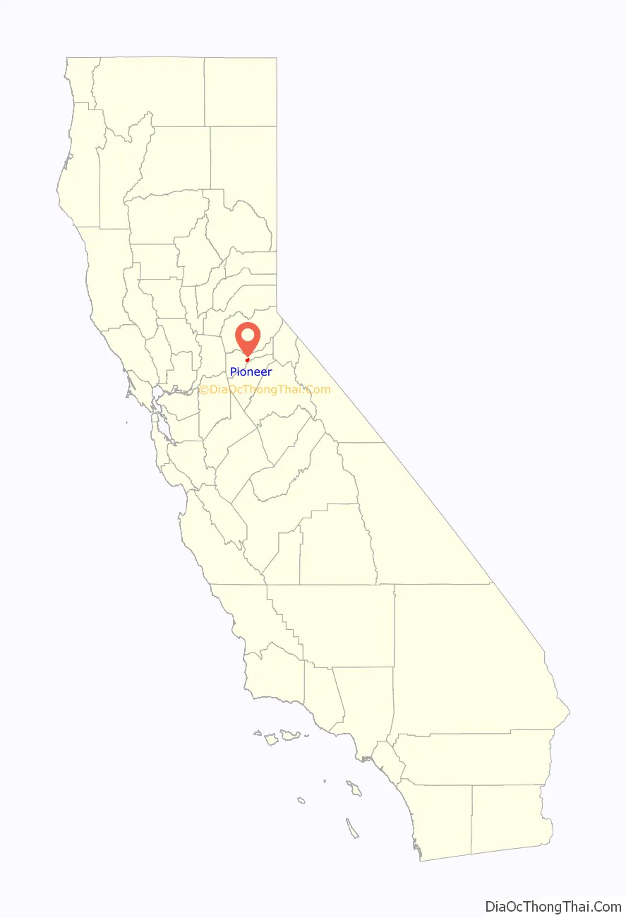
Pioneer location map. Where is Pioneer CDP?
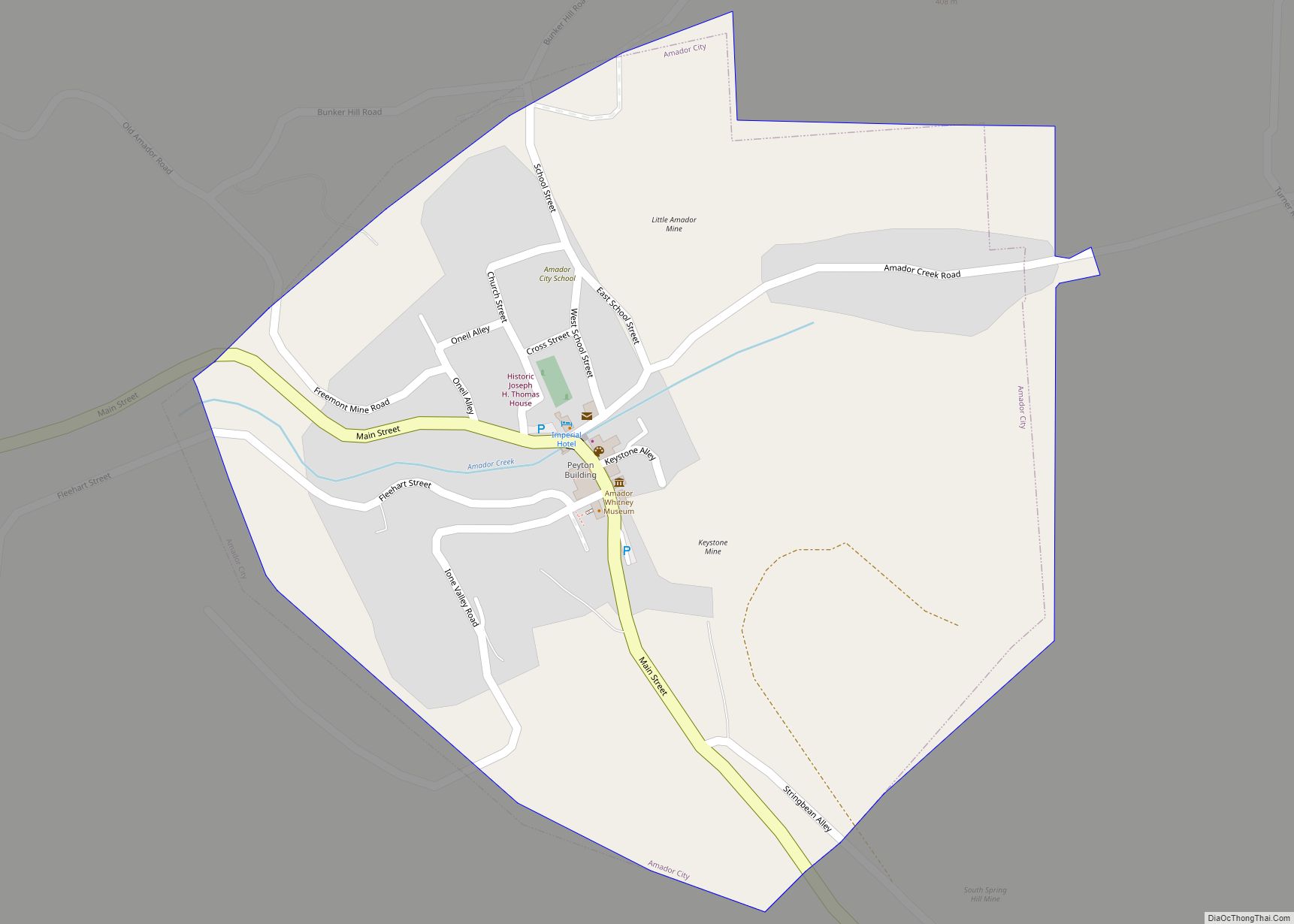
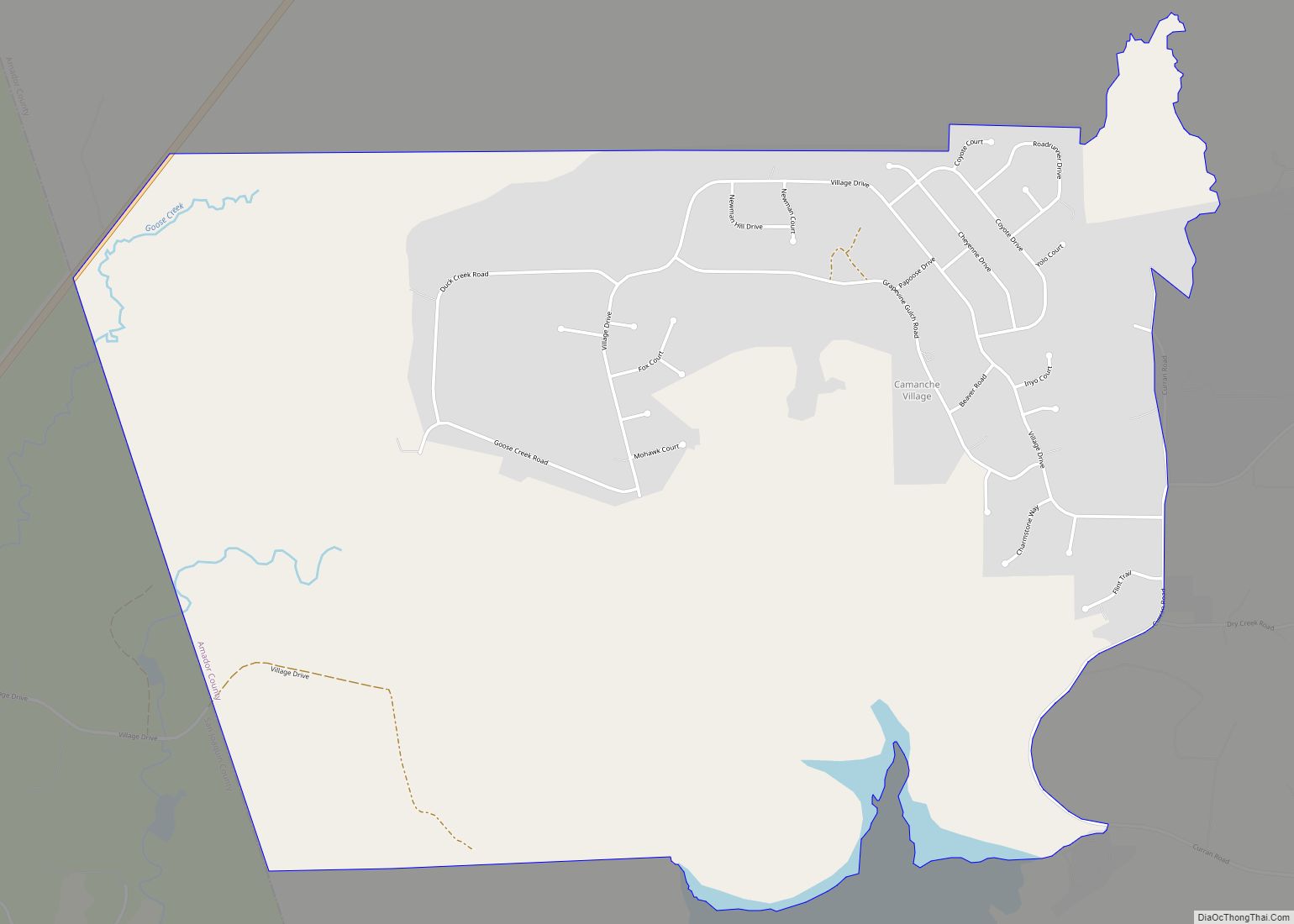
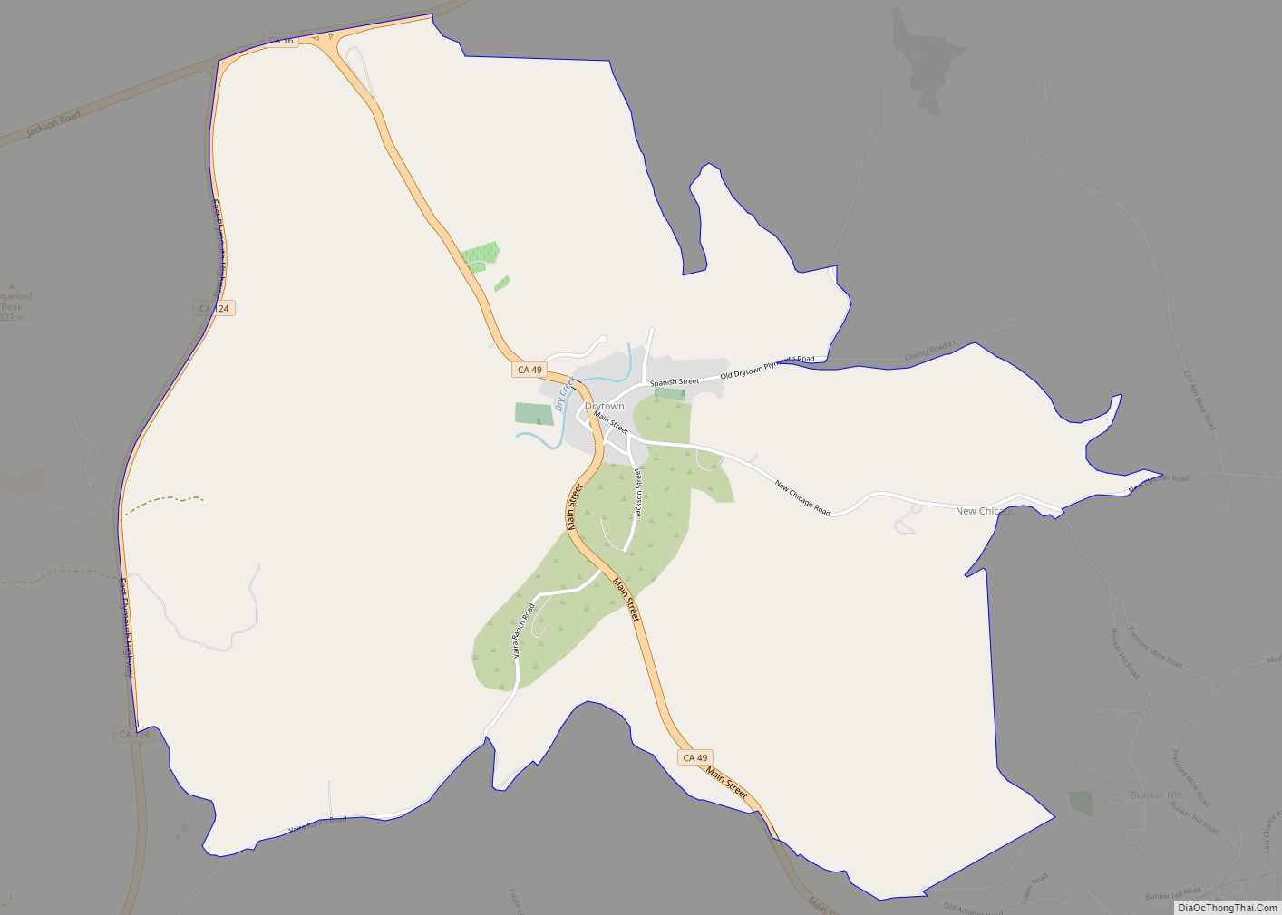
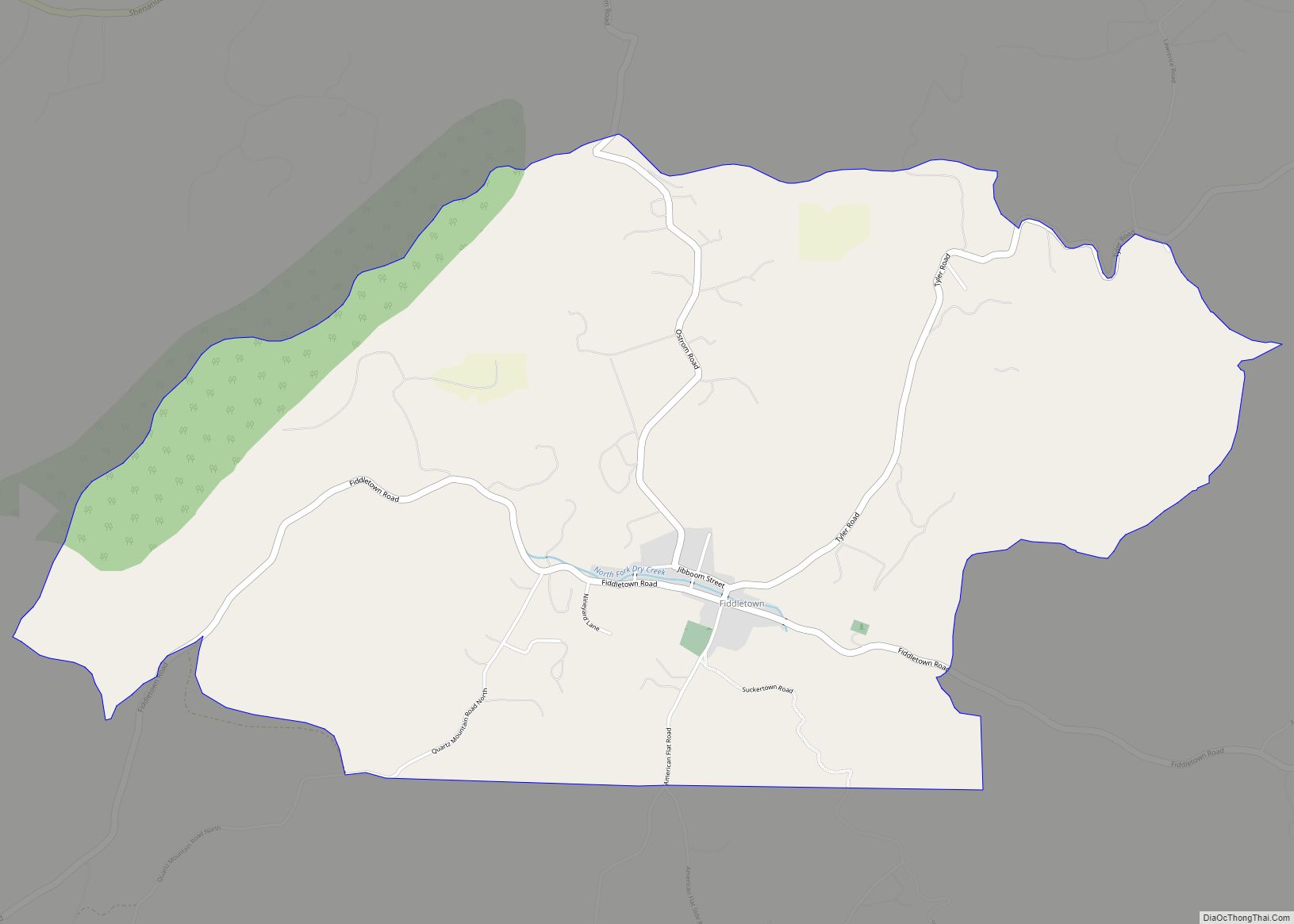
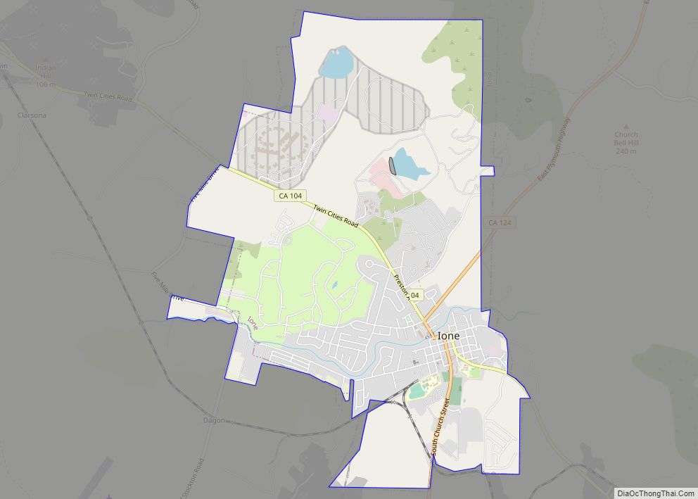
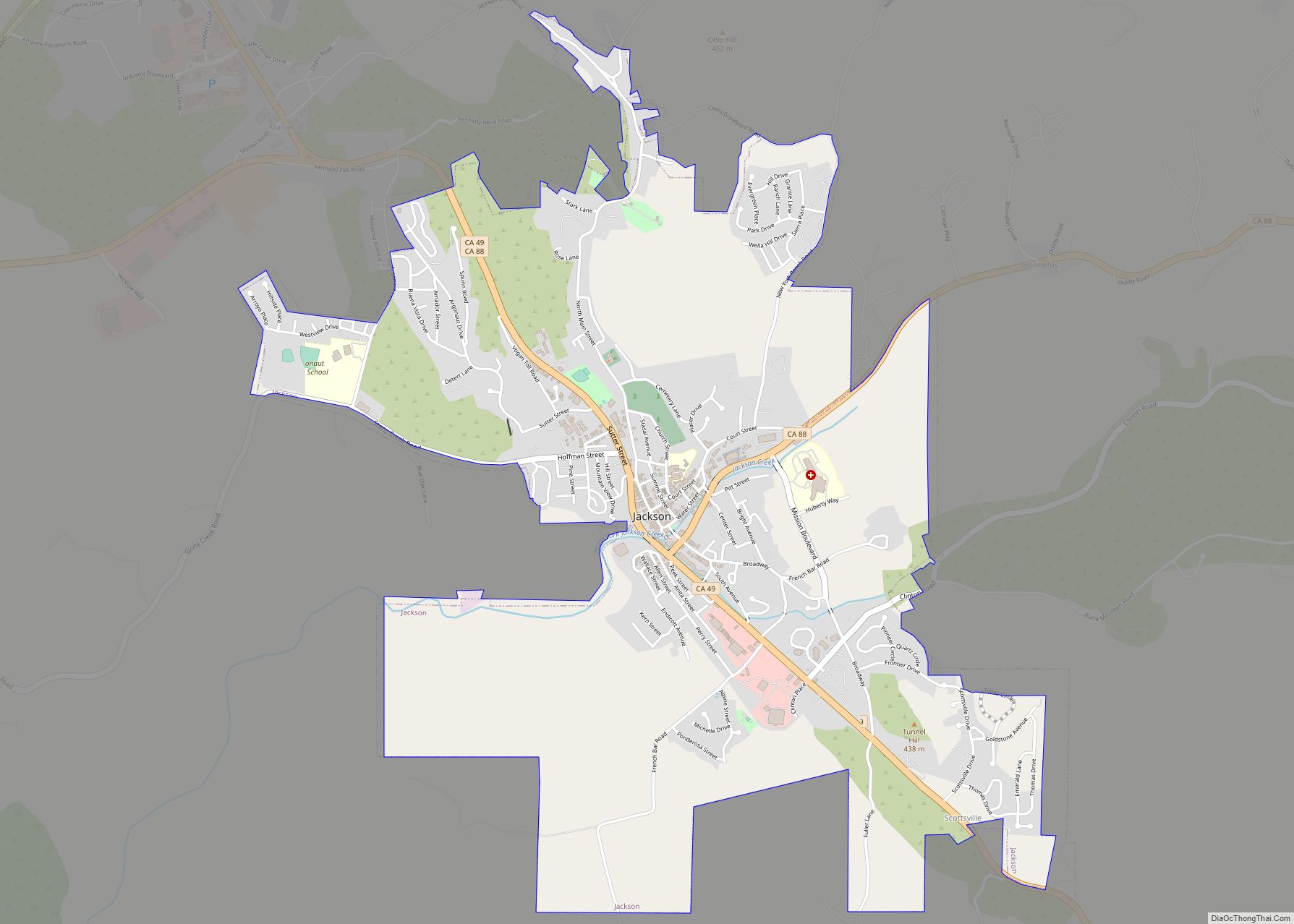
Pioneer Road Map
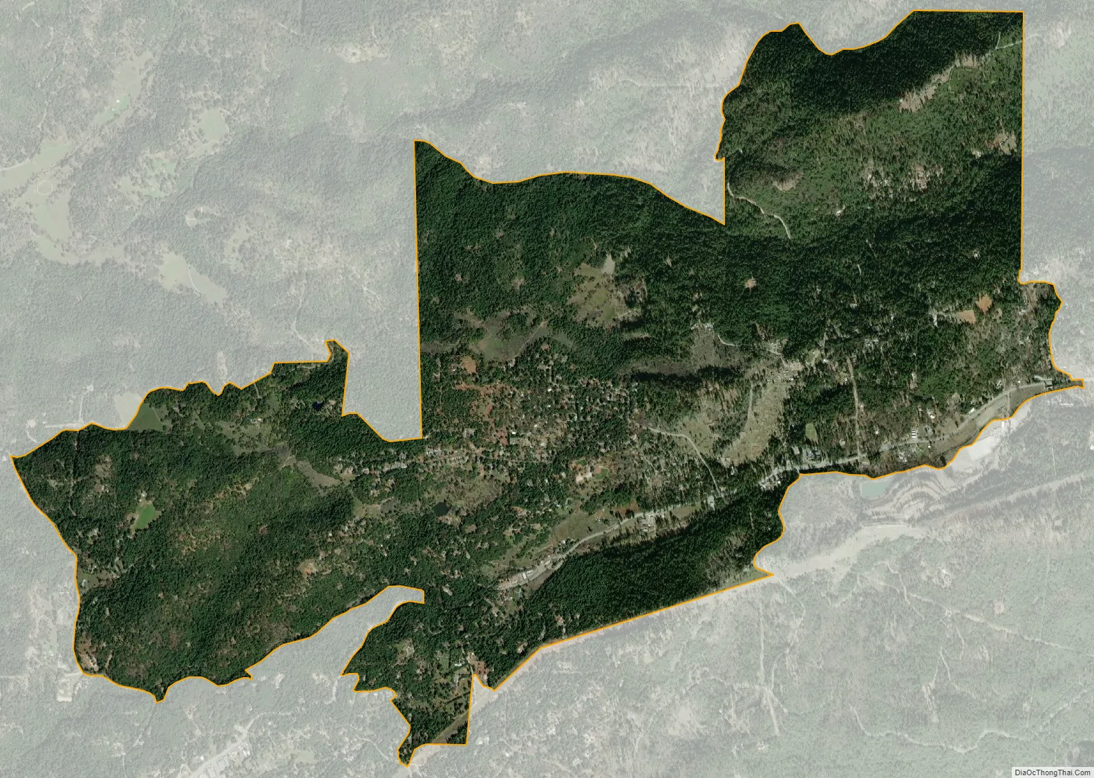
Pioneer city Satellite Map
See also
Map of California State and its subdivision:- Alameda
- Alpine
- Amador
- Butte
- Calaveras
- Colusa
- Contra Costa
- Del Norte
- El Dorado
- Fresno
- Glenn
- Humboldt
- Imperial
- Inyo
- Kern
- Kings
- Lake
- Lassen
- Los Angeles
- Madera
- Marin
- Mariposa
- Mendocino
- Merced
- Modoc
- Mono
- Monterey
- Napa
- Nevada
- Orange
- Placer
- Plumas
- Riverside
- Sacramento
- San Benito
- San Bernardino
- San Diego
- San Francisco
- San Joaquin
- San Luis Obispo
- San Mateo
- Santa Barbara
- Santa Clara
- Santa Cruz
- Shasta
- Sierra
- Siskiyou
- Solano
- Sonoma
- Stanislaus
- Sutter
- Tehama
- Trinity
- Tulare
- Tuolumne
- Ventura
- Yolo
- Yuba
- Alabama
- Alaska
- Arizona
- Arkansas
- California
- Colorado
- Connecticut
- Delaware
- District of Columbia
- Florida
- Georgia
- Hawaii
- Idaho
- Illinois
- Indiana
- Iowa
- Kansas
- Kentucky
- Louisiana
- Maine
- Maryland
- Massachusetts
- Michigan
- Minnesota
- Mississippi
- Missouri
- Montana
- Nebraska
- Nevada
- New Hampshire
- New Jersey
- New Mexico
- New York
- North Carolina
- North Dakota
- Ohio
- Oklahoma
- Oregon
- Pennsylvania
- Rhode Island
- South Carolina
- South Dakota
- Tennessee
- Texas
- Utah
- Vermont
- Virginia
- Washington
- West Virginia
- Wisconsin
- Wyoming