Posey is a census-designated place in Tulare County, California, United States. Posey is 21 miles (34 km) east-southeast of Ducor. Posey has a post office with ZIP code 93260, which opened in 1915. The population was 23 at the 2020 United States census, up from 10 at the 2010 census. The elevation of Posey is 3573 feet.
| Name: | Posey CDP |
|---|---|
| LSAD Code: | 57 |
| LSAD Description: | CDP (suffix) |
| State: | California |
| County: | Tulare County |
| Elevation: | 3,560 ft (1,090 m) |
| Total Area: | 0.357 sq mi (0.924 km²) |
| Land Area: | 0.357 sq mi (0.924 km²) |
| Water Area: | 0 sq mi (0 km²) 0% |
| Total Population: | 23 |
| Population Density: | 64/sq mi (25/km²) |
| ZIP code: | 93260 |
| Area code: | 661 |
| FIPS code: | 0658422 |
Online Interactive Map
Click on ![]() to view map in "full screen" mode.
to view map in "full screen" mode.
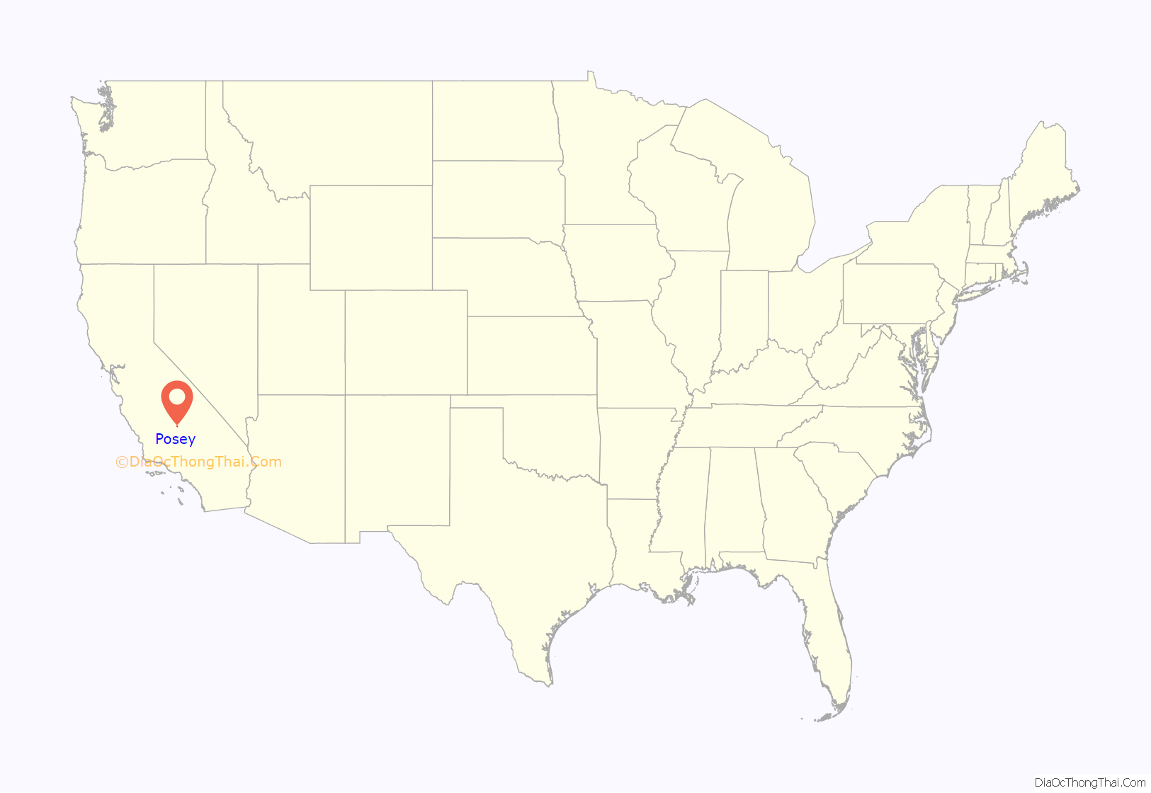
Posey location map. Where is Posey CDP?
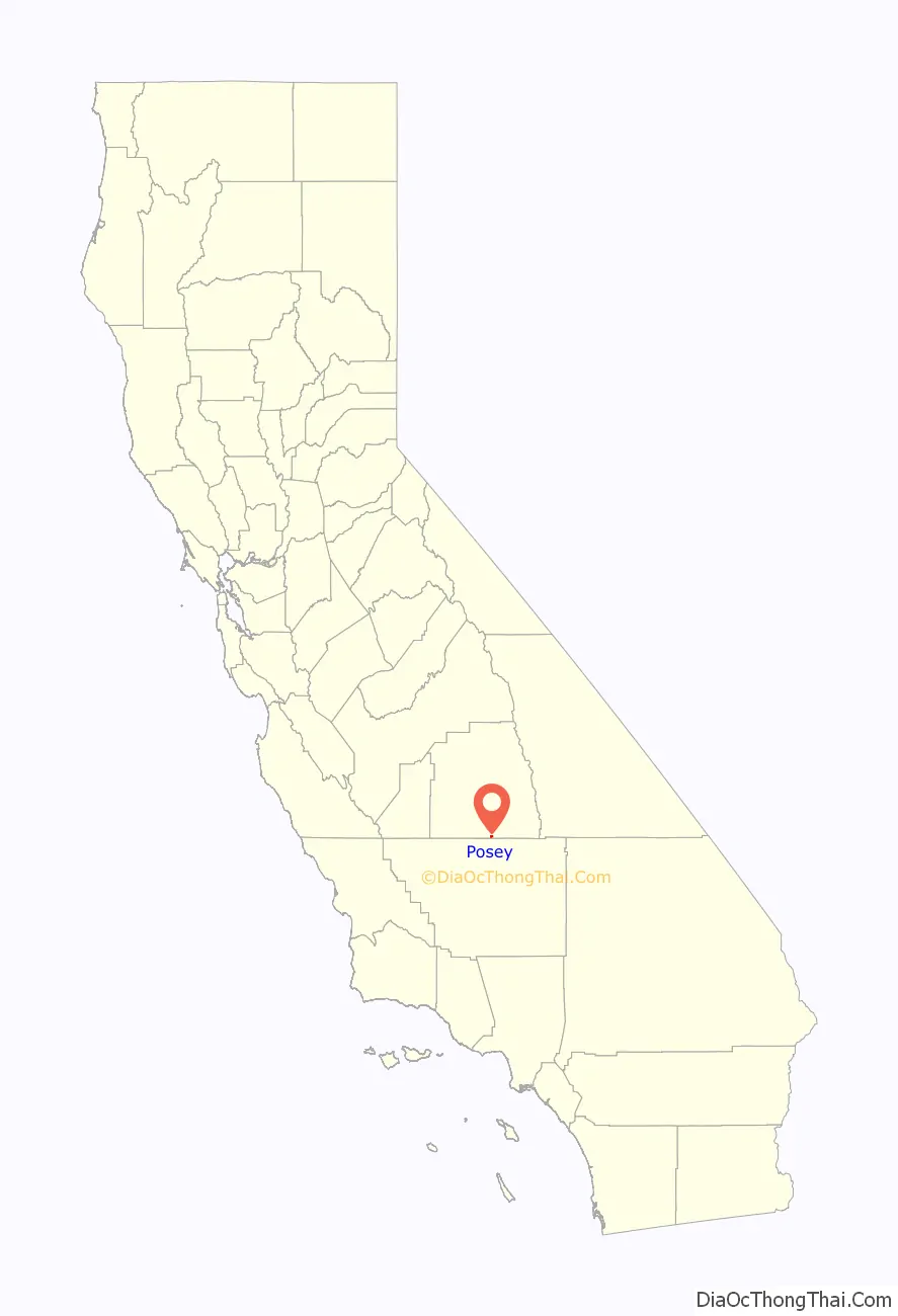
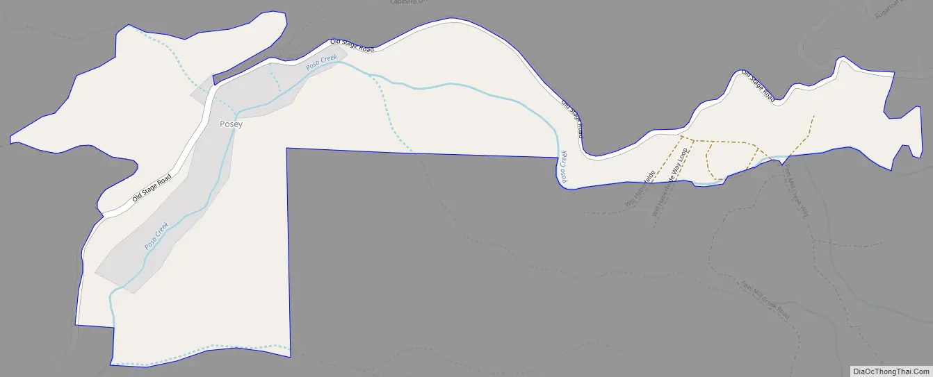
Posey Road Map
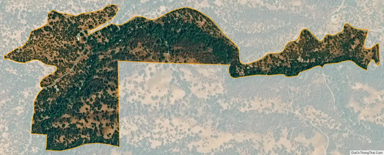
Posey city Satellite Map
Geography
According to the United States Census Bureau, the CDP covers an area of 0.4 square miles (0.9 km), all of it land. In the past, the area near Posey had numerous Tungsten mines.
Climate
According to the Köppen Climate Classification system, Posey has a semi-arid climate, abbreviated “BSk” on climate maps.
See also
Map of California State and its subdivision:- Alameda
- Alpine
- Amador
- Butte
- Calaveras
- Colusa
- Contra Costa
- Del Norte
- El Dorado
- Fresno
- Glenn
- Humboldt
- Imperial
- Inyo
- Kern
- Kings
- Lake
- Lassen
- Los Angeles
- Madera
- Marin
- Mariposa
- Mendocino
- Merced
- Modoc
- Mono
- Monterey
- Napa
- Nevada
- Orange
- Placer
- Plumas
- Riverside
- Sacramento
- San Benito
- San Bernardino
- San Diego
- San Francisco
- San Joaquin
- San Luis Obispo
- San Mateo
- Santa Barbara
- Santa Clara
- Santa Cruz
- Shasta
- Sierra
- Siskiyou
- Solano
- Sonoma
- Stanislaus
- Sutter
- Tehama
- Trinity
- Tulare
- Tuolumne
- Ventura
- Yolo
- Yuba
- Alabama
- Alaska
- Arizona
- Arkansas
- California
- Colorado
- Connecticut
- Delaware
- District of Columbia
- Florida
- Georgia
- Hawaii
- Idaho
- Illinois
- Indiana
- Iowa
- Kansas
- Kentucky
- Louisiana
- Maine
- Maryland
- Massachusetts
- Michigan
- Minnesota
- Mississippi
- Missouri
- Montana
- Nebraska
- Nevada
- New Hampshire
- New Jersey
- New Mexico
- New York
- North Carolina
- North Dakota
- Ohio
- Oklahoma
- Oregon
- Pennsylvania
- Rhode Island
- South Carolina
- South Dakota
- Tennessee
- Texas
- Utah
- Vermont
- Virginia
- Washington
- West Virginia
- Wisconsin
- Wyoming


