Potter Valley is a census-designated place in Mendocino County, California, United States. It is located 18 miles (29 km) north-northeast of Ukiah, at an elevation of 948 feet (289 m) at the headwaters of the East Fork Russian River. The CDP population was 665 at the 2020 census.
| Name: | Potter Valley CDP |
|---|---|
| LSAD Code: | 57 |
| LSAD Description: | CDP (suffix) |
| State: | California |
| County: | Mendocino County |
| Elevation: | 948 ft (289 m) |
| Total Area: | 4.055 sq mi (10.50 km²) |
| Land Area: | 4.027 sq mi (10.43 km²) |
| Water Area: | 0.028 sq mi (0.07 km²) 0.69% |
| Total Population: | 665 |
| Population Density: | 160/sq mi (63/km²) |
| ZIP code: | 95469 |
| Area code: | 707 |
| FIPS code: | 0658506 |
Online Interactive Map
Click on ![]() to view map in "full screen" mode.
to view map in "full screen" mode.
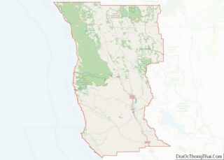
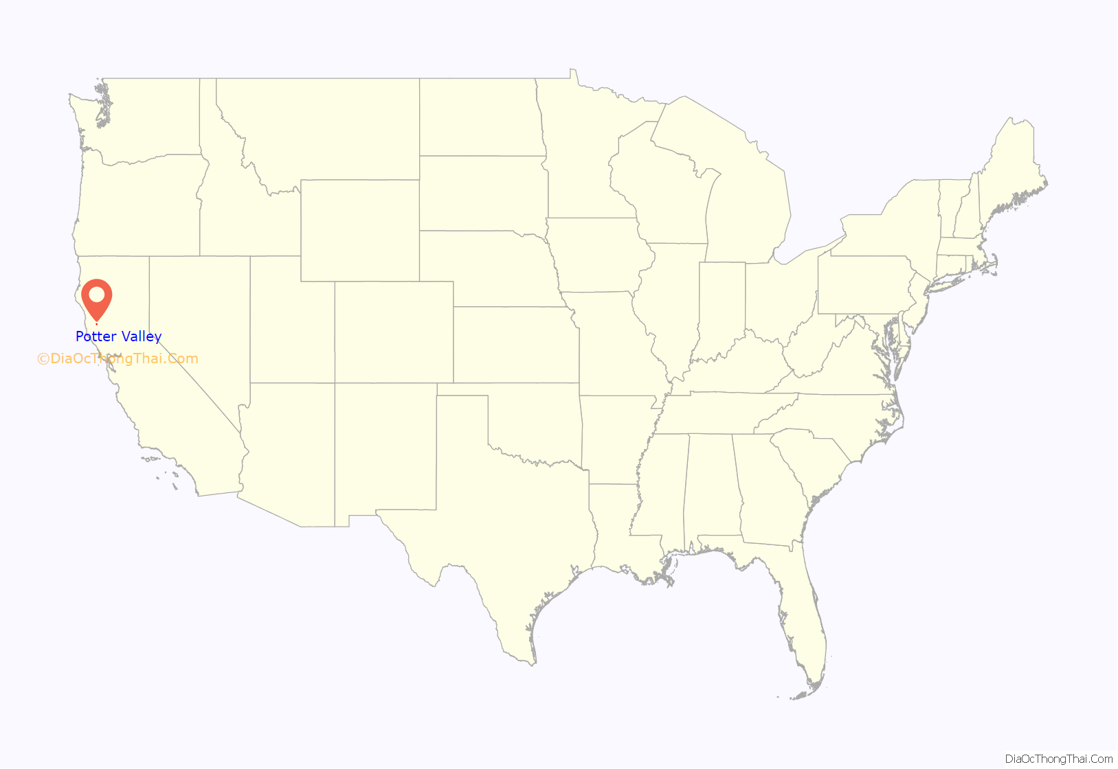
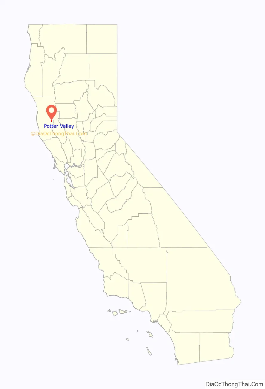
Potter Valley location map. Where is Potter Valley CDP?
History
In 1852, when William and Thomas Potter and Mose Briggs first entered what would become known as Potter Valley, they were searching for the headwaters of the Russian River from their base in Sonoma County. The Pomo people called it Ba-lo Kai. They found three Pomo villages (each about 500 people strong), the Russian headwaters, and a lush valley with wild oats “stirrup high”. Eventually the Potters returned to settle there, and the valley became known by the American ranchers’ name.
The post office opened in 1870.
Painter Grace Hudson was born in Potter Valley in 1865.
In addition to his famous Ridgewood Ranch, Charles S. Howard, owner of the racehorse Seabiscuit, owned a ranch in Potter Valley where he ran cattle.
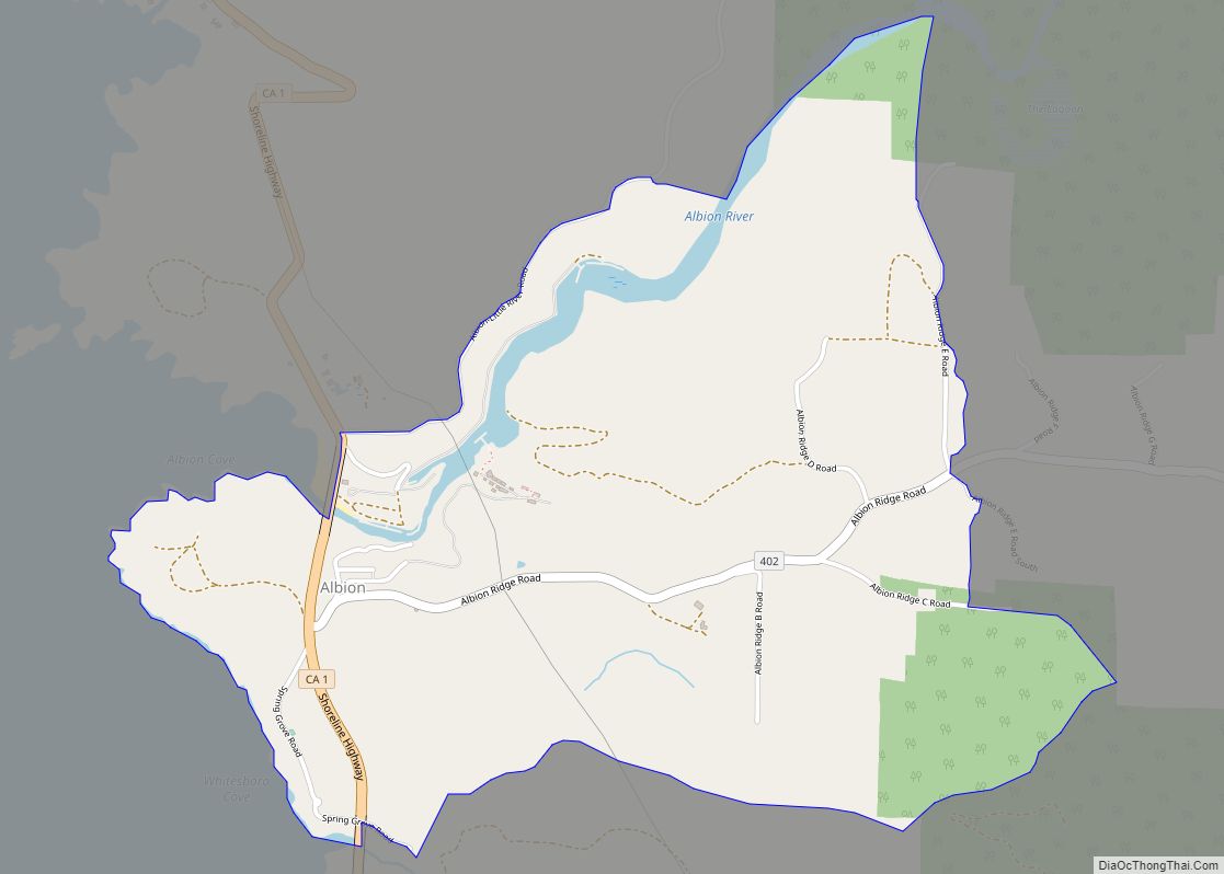
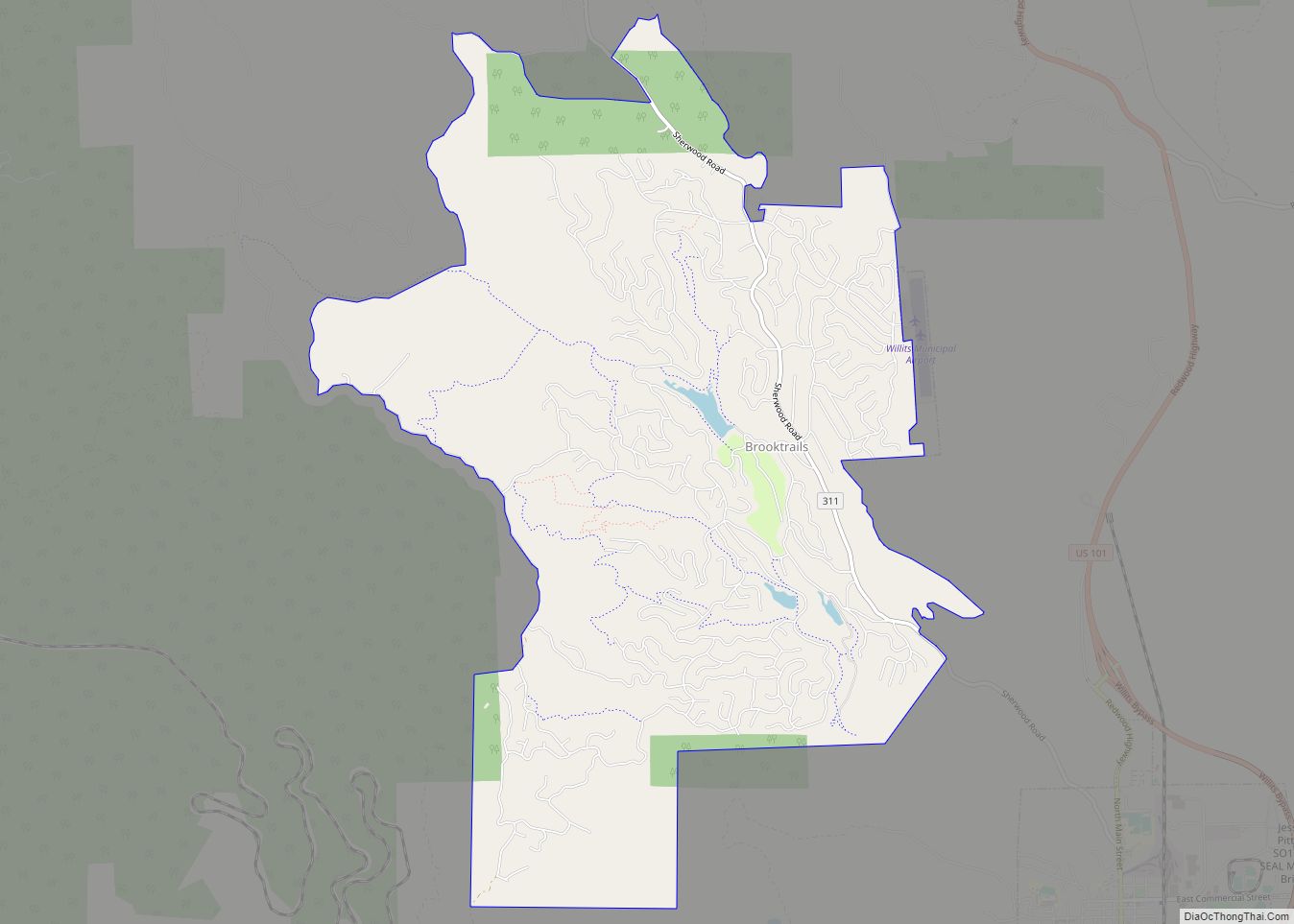
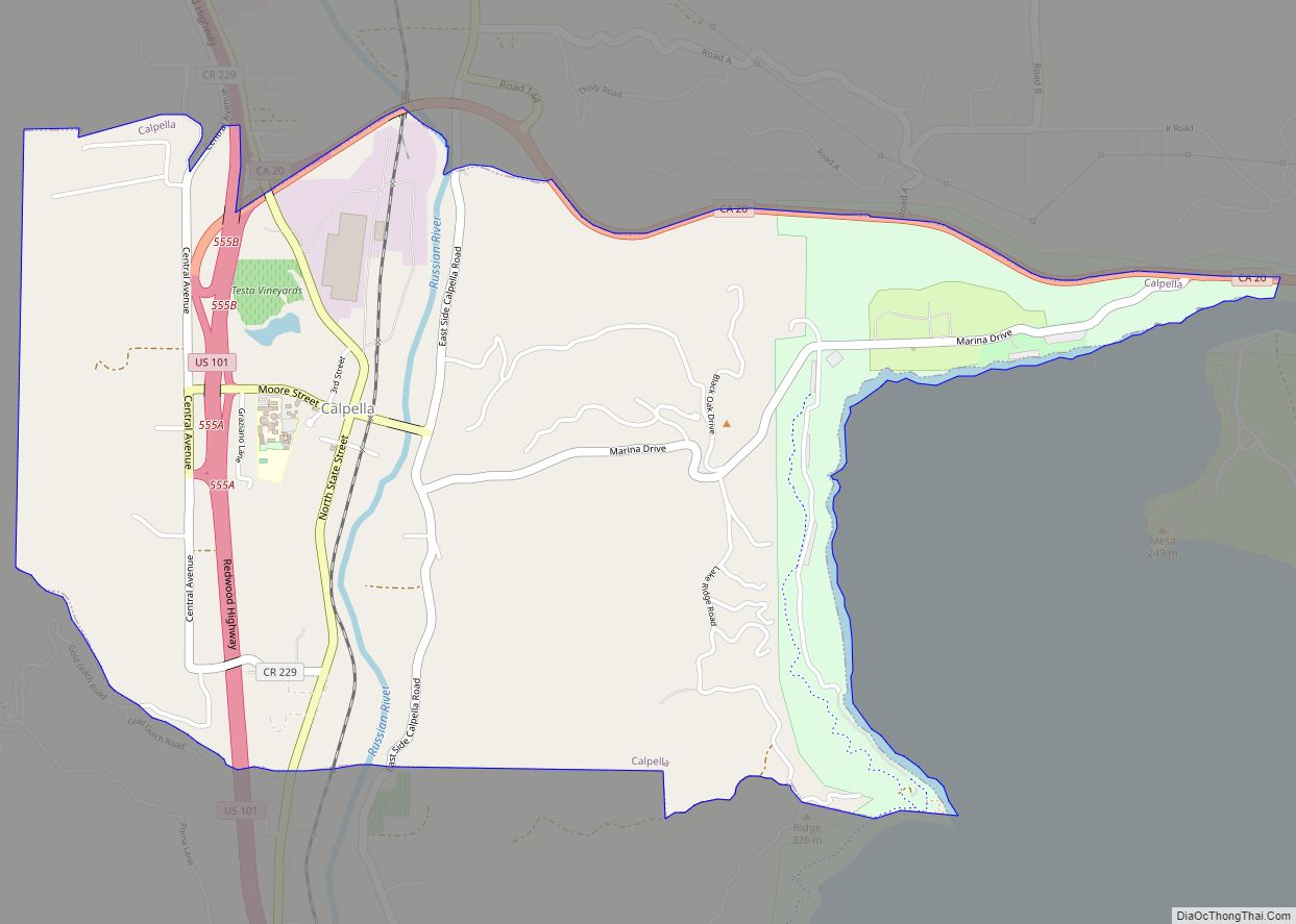
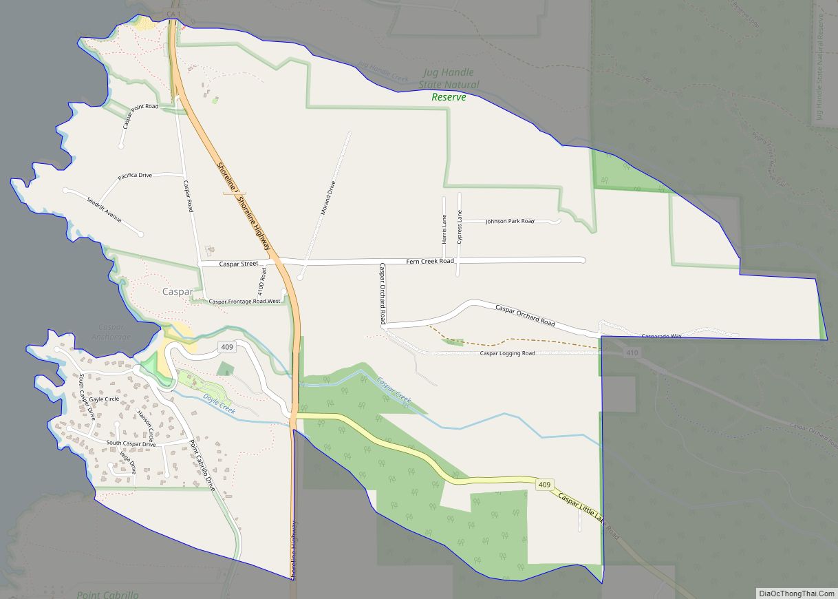
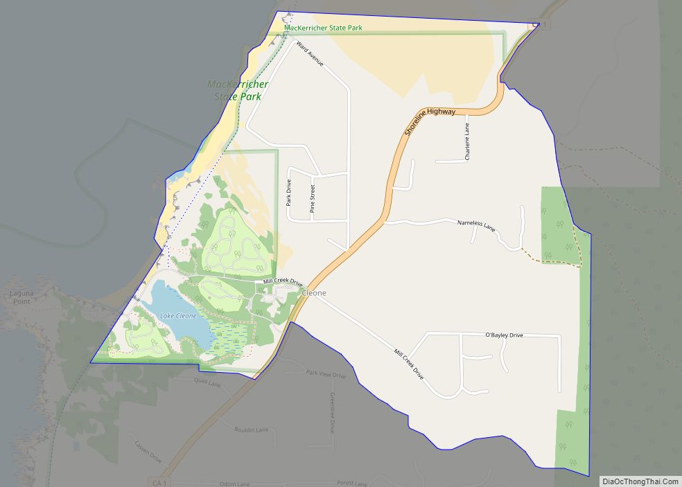
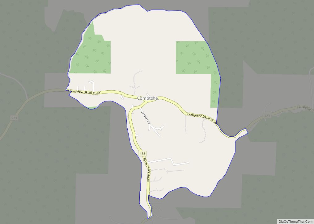
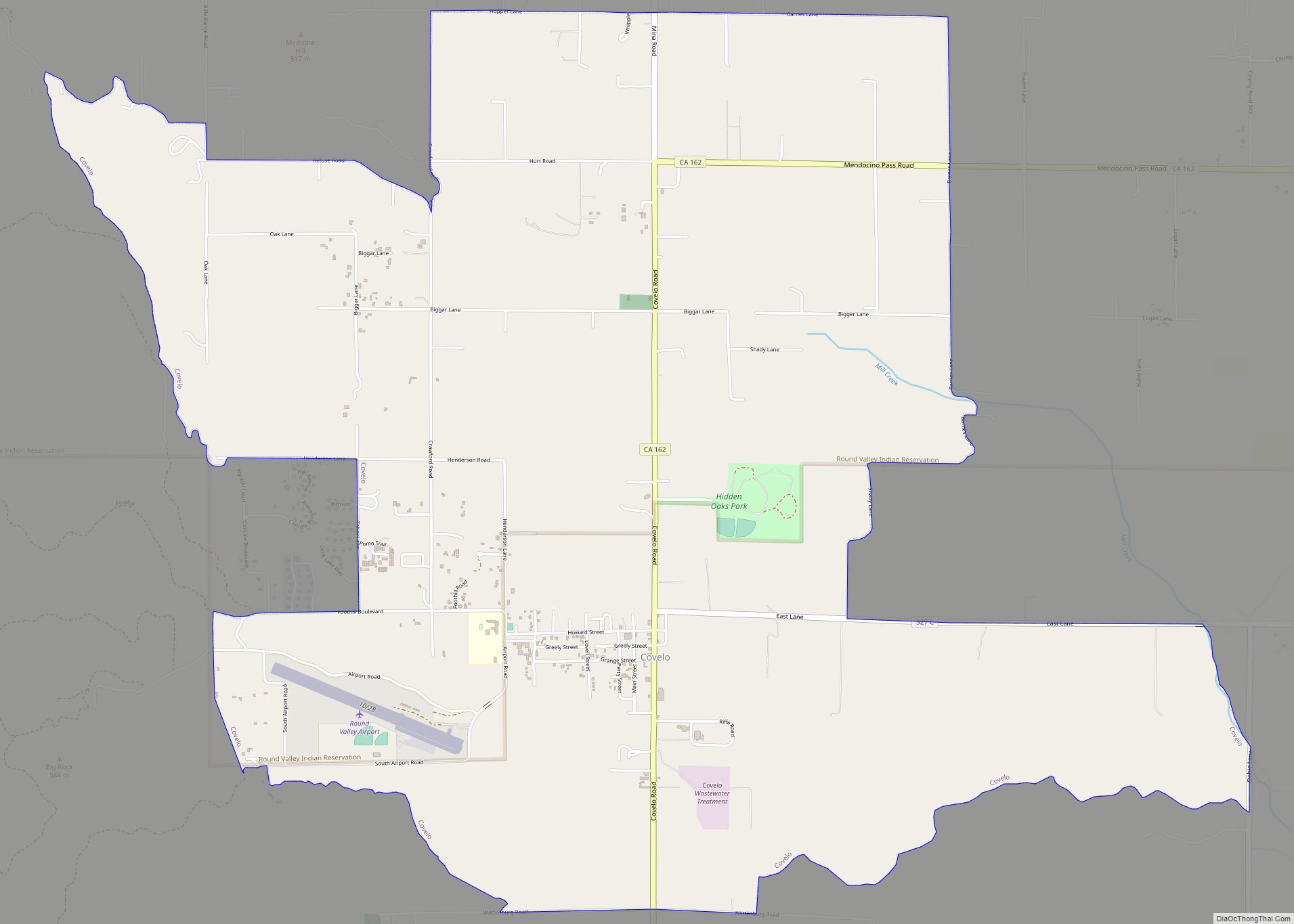
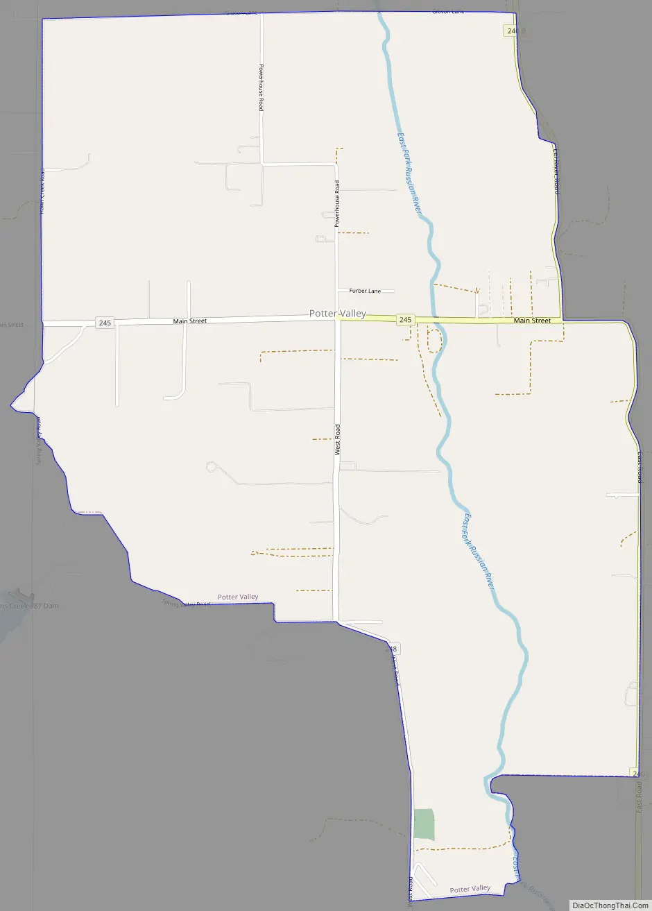
Potter Valley Road Map
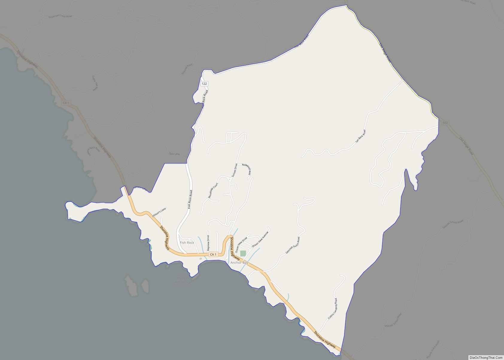
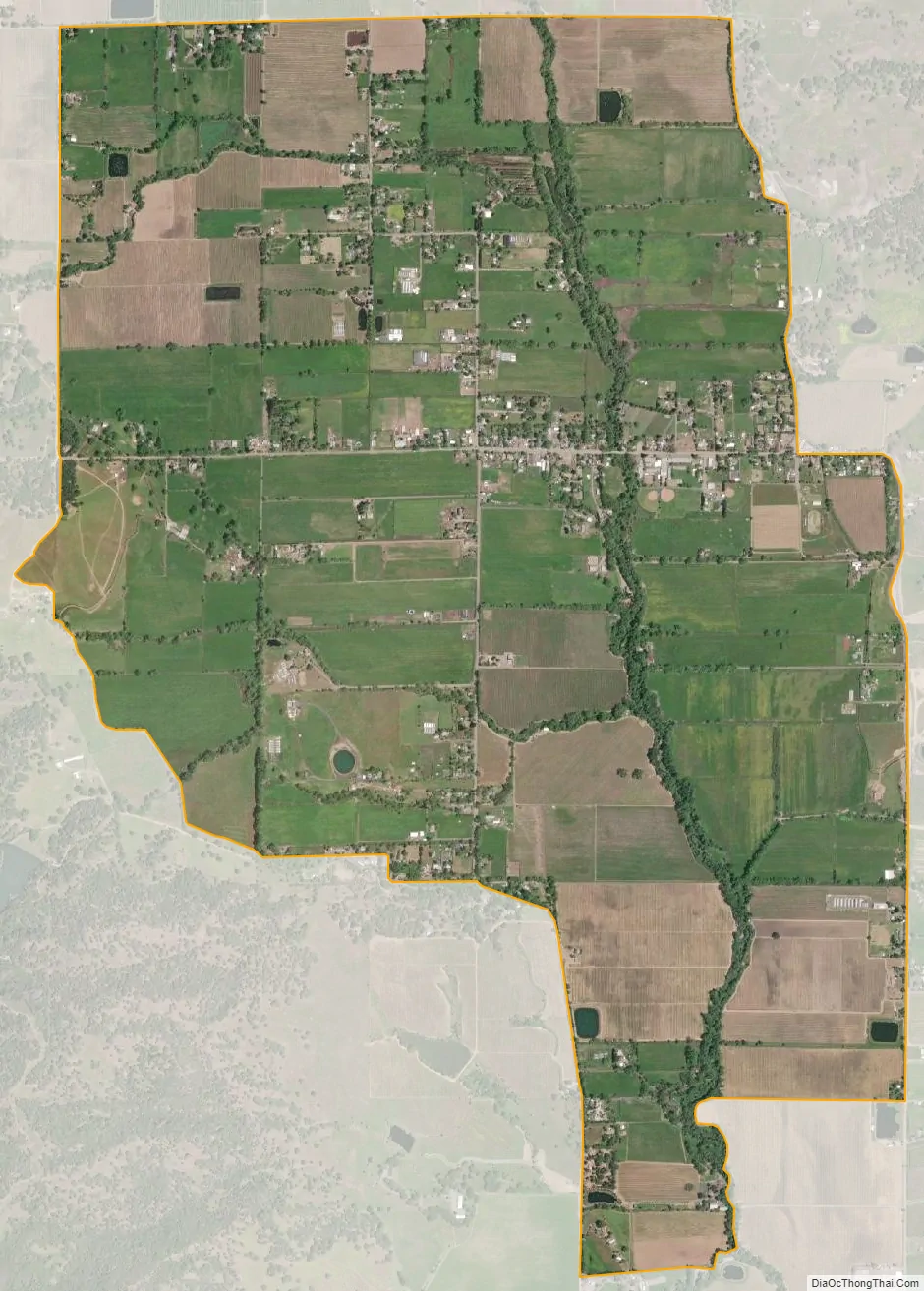
Potter Valley city Satellite Map
Geography
Potter Valley is located 18 miles (29 km) northeast of Ukiah and 8 miles (13 km) northeast of Lake Mendocino in Mendocino County, with the valley floor at roughly 950 feet (290 m) in elevation. The headwaters of the East Fork of the Russian River originate in the valley. The Potter Valley Project delivers additional water from the Eel River, which flows into the Russian River here via a controversial hydroelectric plant that tunnels through the mountains to take advantage of the relative proximity of these two waterways. This diversion supplies a significant amount of water to inland Mendocino and Sonoma counties. Potter Valley is a rich agricultural region, with excellent soils, planted mostly in irrigated pasture, wine grapes, and pears, but supporting a wide variety of farms and ranches.
According to the United States Census Bureau, the Potter Valley Census Designated Place (CDP) covers an area of 4.0 square miles (10 km), 99.31% of it land, and 0.69% of it water. The entire valley, which is mostly rural, has an area of roughly 12 square miles (31 km).
See also
Map of California State and its subdivision:- Alameda
- Alpine
- Amador
- Butte
- Calaveras
- Colusa
- Contra Costa
- Del Norte
- El Dorado
- Fresno
- Glenn
- Humboldt
- Imperial
- Inyo
- Kern
- Kings
- Lake
- Lassen
- Los Angeles
- Madera
- Marin
- Mariposa
- Mendocino
- Merced
- Modoc
- Mono
- Monterey
- Napa
- Nevada
- Orange
- Placer
- Plumas
- Riverside
- Sacramento
- San Benito
- San Bernardino
- San Diego
- San Francisco
- San Joaquin
- San Luis Obispo
- San Mateo
- Santa Barbara
- Santa Clara
- Santa Cruz
- Shasta
- Sierra
- Siskiyou
- Solano
- Sonoma
- Stanislaus
- Sutter
- Tehama
- Trinity
- Tulare
- Tuolumne
- Ventura
- Yolo
- Yuba
- Alabama
- Alaska
- Arizona
- Arkansas
- California
- Colorado
- Connecticut
- Delaware
- District of Columbia
- Florida
- Georgia
- Hawaii
- Idaho
- Illinois
- Indiana
- Iowa
- Kansas
- Kentucky
- Louisiana
- Maine
- Maryland
- Massachusetts
- Michigan
- Minnesota
- Mississippi
- Missouri
- Montana
- Nebraska
- Nevada
- New Hampshire
- New Jersey
- New Mexico
- New York
- North Carolina
- North Dakota
- Ohio
- Oklahoma
- Oregon
- Pennsylvania
- Rhode Island
- South Carolina
- South Dakota
- Tennessee
- Texas
- Utah
- Vermont
- Virginia
- Washington
- West Virginia
- Wisconsin
- Wyoming