Quincy (formerly, Quinsy) is a census-designated place and the county seat of Plumas County, California. The population was 1,630 during the 2020 Census, down from 1,728 during the 2010 Census, and 1,879 during the 2000 Census.
| Name: | Quincy CDP |
|---|---|
| LSAD Code: | 57 |
| LSAD Description: | CDP (suffix) |
| State: | California |
| County: | Plumas County |
| Elevation: | 3,432 ft (1,046 m) |
| Total Area: | 4.239 sq mi (10.979 km²) |
| Land Area: | 4.239 sq mi (10.979 km²) |
| Water Area: | 0 sq mi (0 km²) 0% |
| Total Population: | 1,728 |
| Population Density: | 410/sq mi (160/km²) |
| ZIP code: | 95971 |
| Area code: | 530 |
| FIPS code: | 0659080 |
| GNISfeature ID: | 265113 |
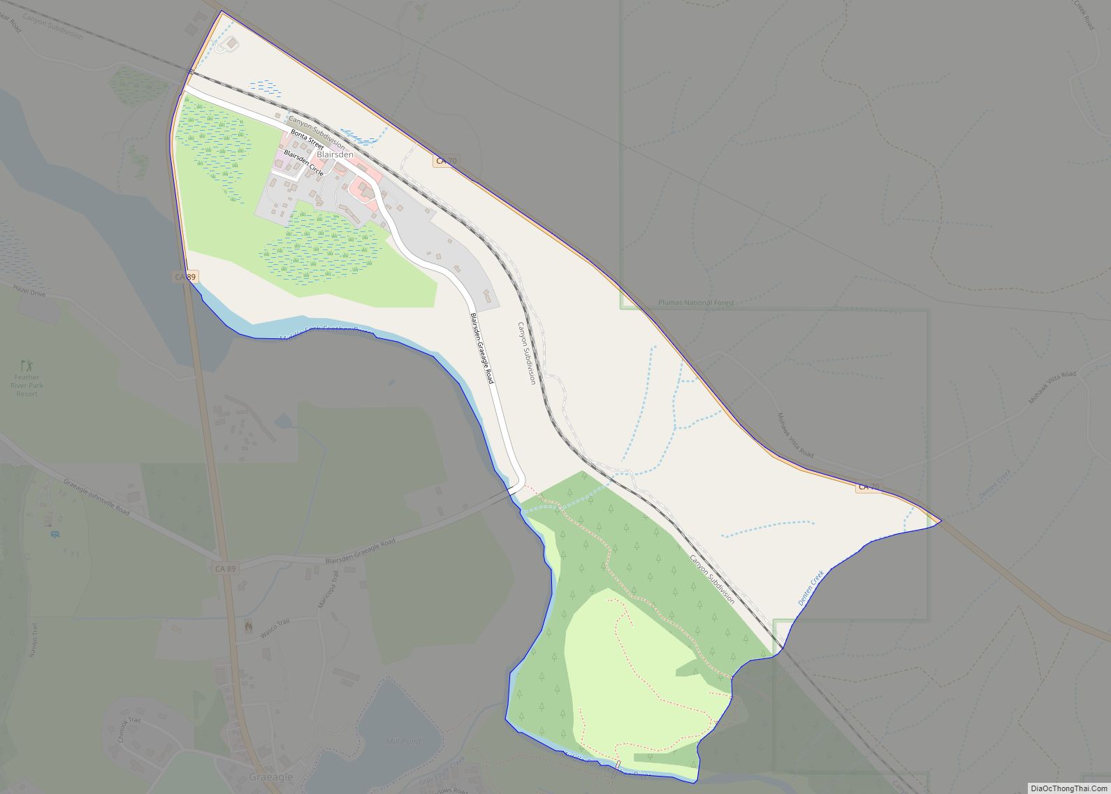
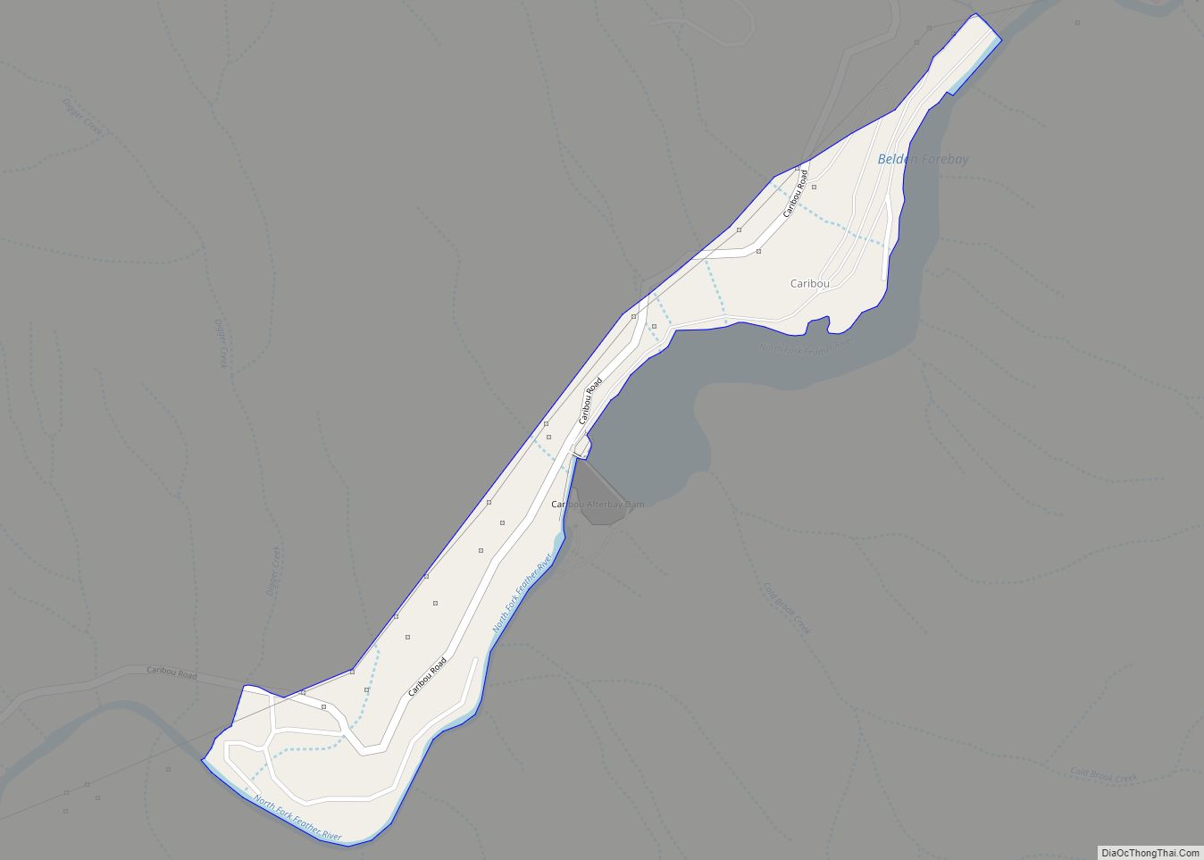
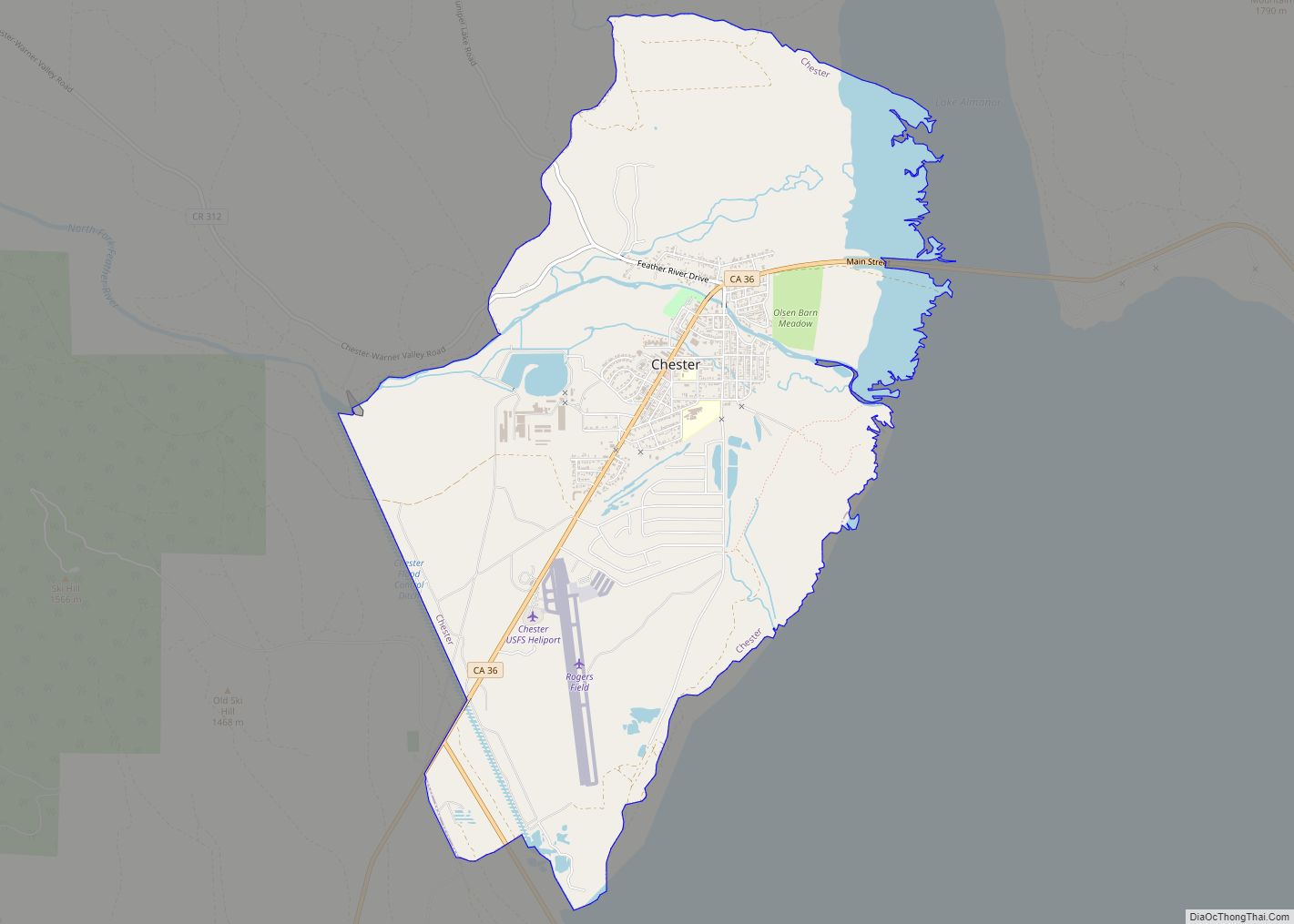
Online Interactive Map
Click on ![]() to view map in "full screen" mode.
to view map in "full screen" mode.
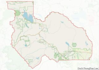
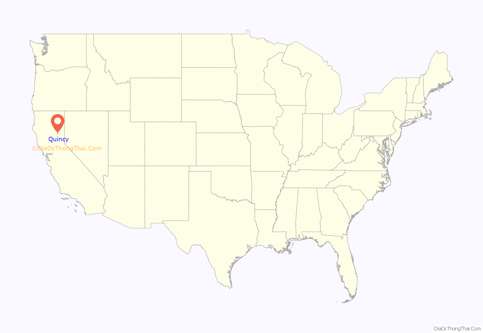
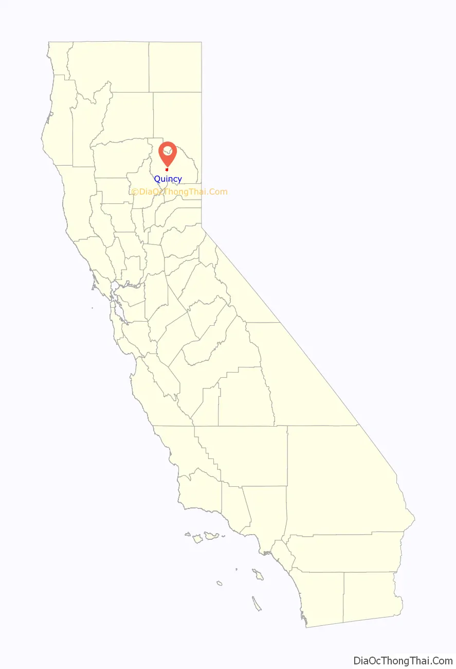
Quincy location map. Where is Quincy CDP?
History
Quincy is on the current and ancestral lands of the Maidu people. Quincy started as a Gold Rush town, associated with the former Elizabethtown, California. Started in 1852, Elizabethtown slowly faded.
Development moved a mile away into the American Valley after settler James H. Bradley, who helped organize Plumas County, donated land there for the county seat. He laid out the town and named it after his farm in Illinois that had been named for John Quincy Adams (1767–1848), the sixth president of the United States (1825–1829).
The Quincy post office opened in 1855, and the town was formally recognized in 1858.
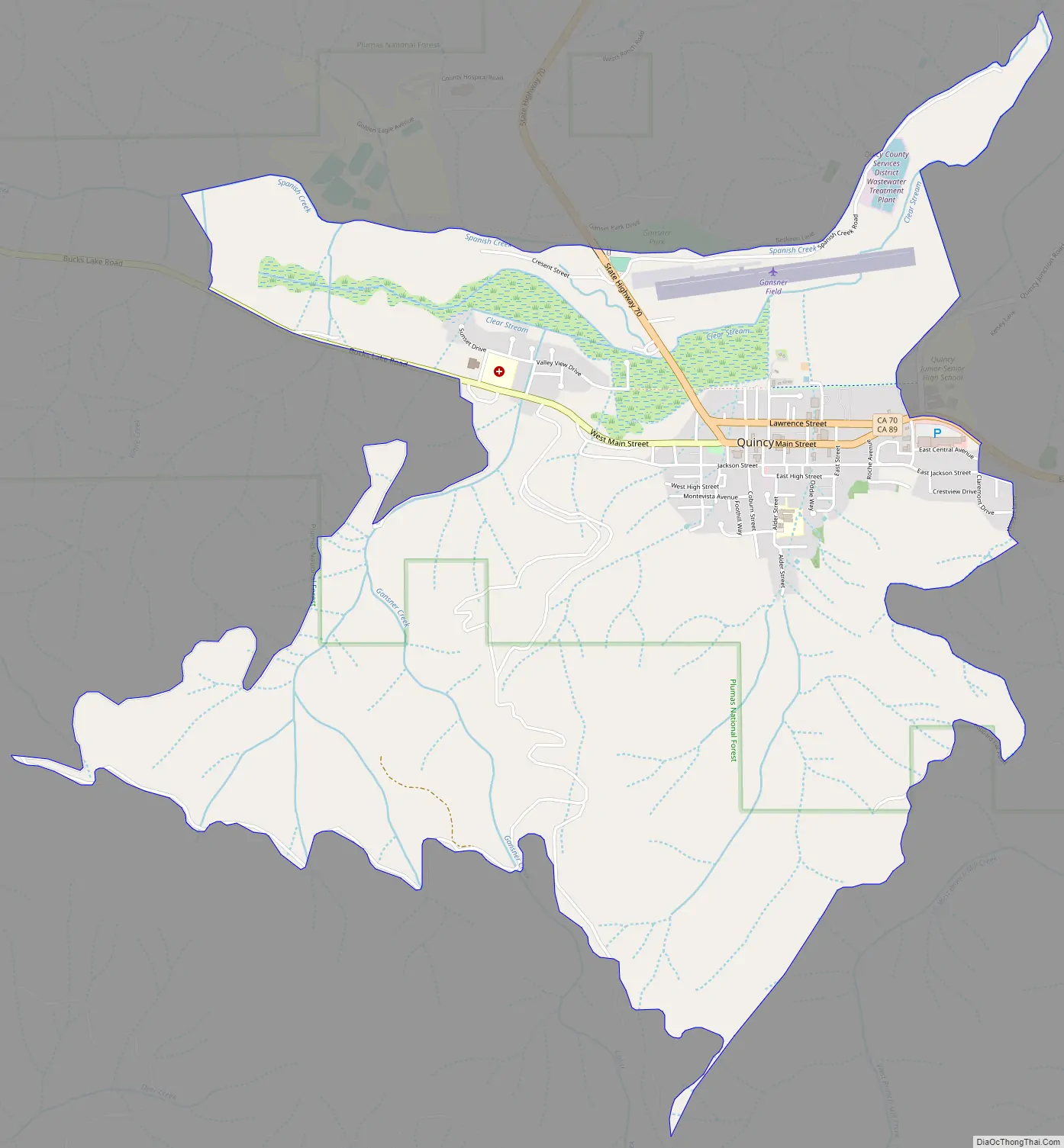
Quincy Road Map
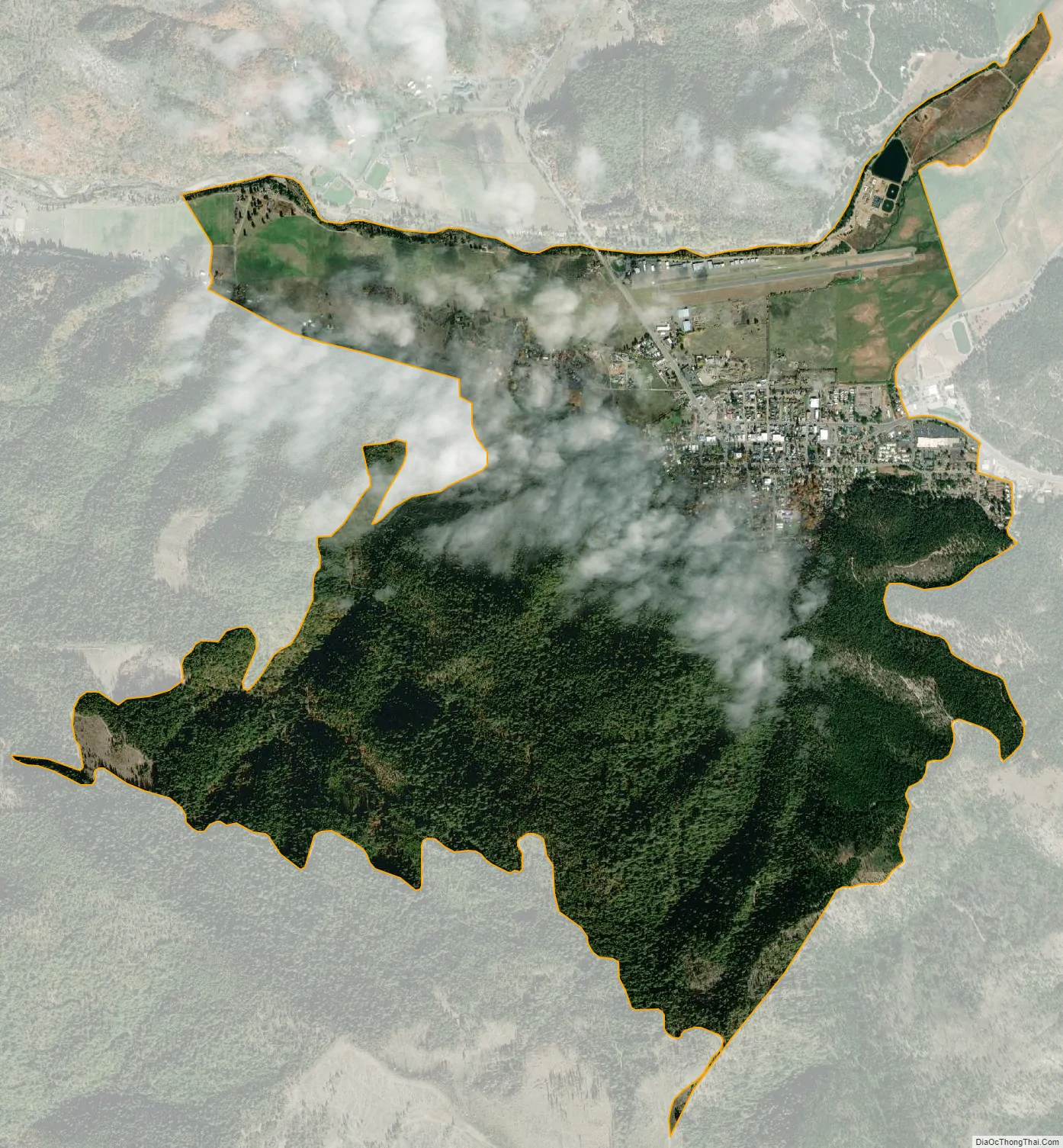
Quincy city Satellite Map
Geography
Quincy is located at 39°56′11″N 120°56′53″W / 39.93639°N 120.94806°W / 39.93639; -120.94806 (39.936279, −120.947921).
According to the United States Census Bureau, the CDP has a total area of 4.2 square miles (11 km), all of it is land.
Quincy is underlain by metasedimentary rock of the Shoo Fly Complex. Its dominant silica-rich clastic material weathers to a stony coarse soil which includes the well or somewhat excessively drained alluvial fan material (mainly Forgay very gravelly sandy loam) on which most of Quincy’s businesses and homes have been built. Cultivated land north of the residential area lies on poorly drained loam, silt loam or fine sandy loam.
Quincy has a Mediterranean climate (Köppen Csb) though its inland location and altitude makes it more continental and wetter than usual for this type, with very heavy snowfalls sometimes occurring in winter – the record being 133 inches (337.8 cm) in the very wet January 1916. Although summer days are hot and only 1.4 days per winter fail to top 32 °F (0 °C), nights can be very cold and frosts occur on 179 days per year and have been recorded even in July.
See also
Map of California State and its subdivision:- Alameda
- Alpine
- Amador
- Butte
- Calaveras
- Colusa
- Contra Costa
- Del Norte
- El Dorado
- Fresno
- Glenn
- Humboldt
- Imperial
- Inyo
- Kern
- Kings
- Lake
- Lassen
- Los Angeles
- Madera
- Marin
- Mariposa
- Mendocino
- Merced
- Modoc
- Mono
- Monterey
- Napa
- Nevada
- Orange
- Placer
- Plumas
- Riverside
- Sacramento
- San Benito
- San Bernardino
- San Diego
- San Francisco
- San Joaquin
- San Luis Obispo
- San Mateo
- Santa Barbara
- Santa Clara
- Santa Cruz
- Shasta
- Sierra
- Siskiyou
- Solano
- Sonoma
- Stanislaus
- Sutter
- Tehama
- Trinity
- Tulare
- Tuolumne
- Ventura
- Yolo
- Yuba
- Alabama
- Alaska
- Arizona
- Arkansas
- California
- Colorado
- Connecticut
- Delaware
- District of Columbia
- Florida
- Georgia
- Hawaii
- Idaho
- Illinois
- Indiana
- Iowa
- Kansas
- Kentucky
- Louisiana
- Maine
- Maryland
- Massachusetts
- Michigan
- Minnesota
- Mississippi
- Missouri
- Montana
- Nebraska
- Nevada
- New Hampshire
- New Jersey
- New Mexico
- New York
- North Carolina
- North Dakota
- Ohio
- Oklahoma
- Oregon
- Pennsylvania
- Rhode Island
- South Carolina
- South Dakota
- Tennessee
- Texas
- Utah
- Vermont
- Virginia
- Washington
- West Virginia
- Wisconsin
- Wyoming