Rail Road Flat (formerly, Independence Flat and Railroad Flat) is a census-designated place (CDP) in Calaveras County, California, United States. The population was 475 at the 2010 census, down from 549 at the 2000 census.
| Name: | Rail Road Flat CDP |
|---|---|
| LSAD Code: | 57 |
| LSAD Description: | CDP (suffix) |
| State: | California |
| County: | Calaveras County |
| Elevation: | 2,608 ft (795 m) |
| Total Area: | 33.162 sq mi (85.889 km²) |
| Land Area: | 33.006 sq mi (85.486 km²) |
| Water Area: | 0.156 sq mi (0.403 km²) 0.47% |
| Total Population: | 475 |
| Population Density: | 14/sq mi (5.5/km²) |
| ZIP code: | 95248 |
| Area code: | 209 |
| FIPS code: | 0659220 |
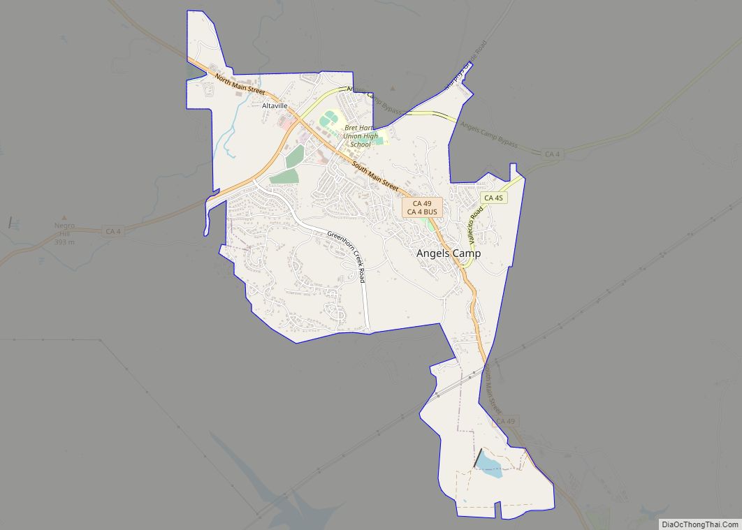
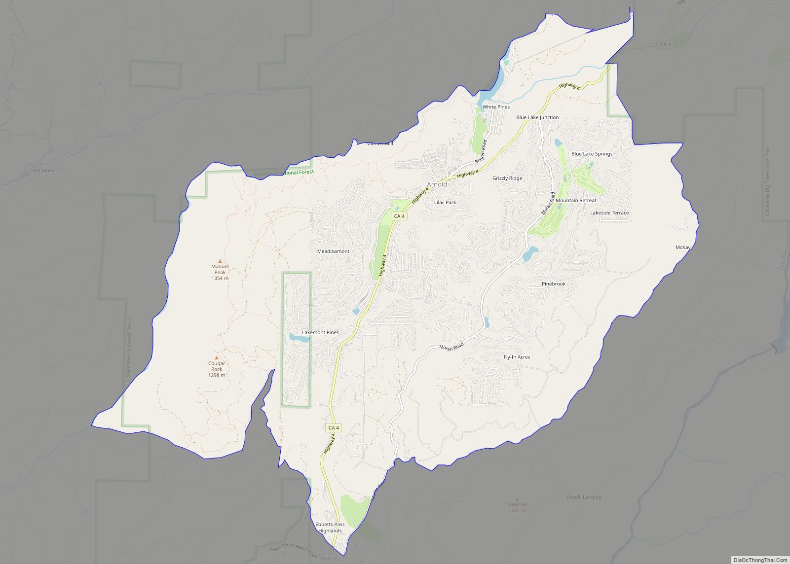
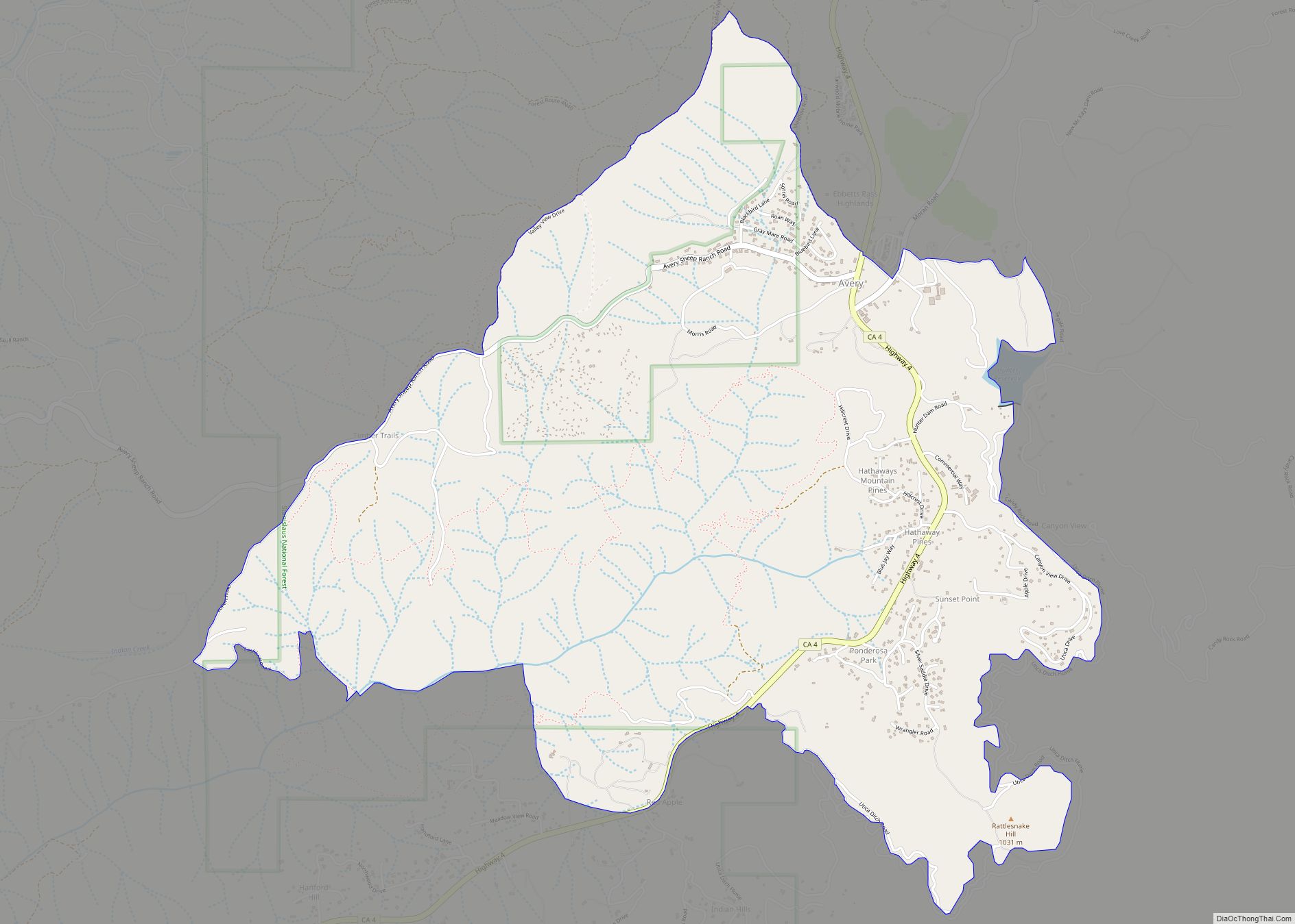
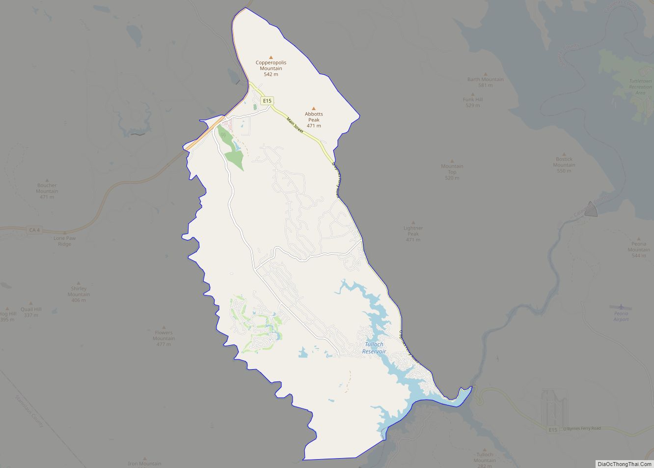
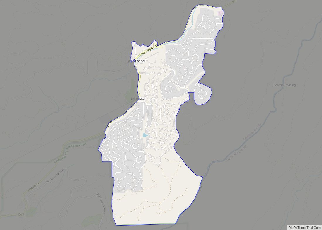
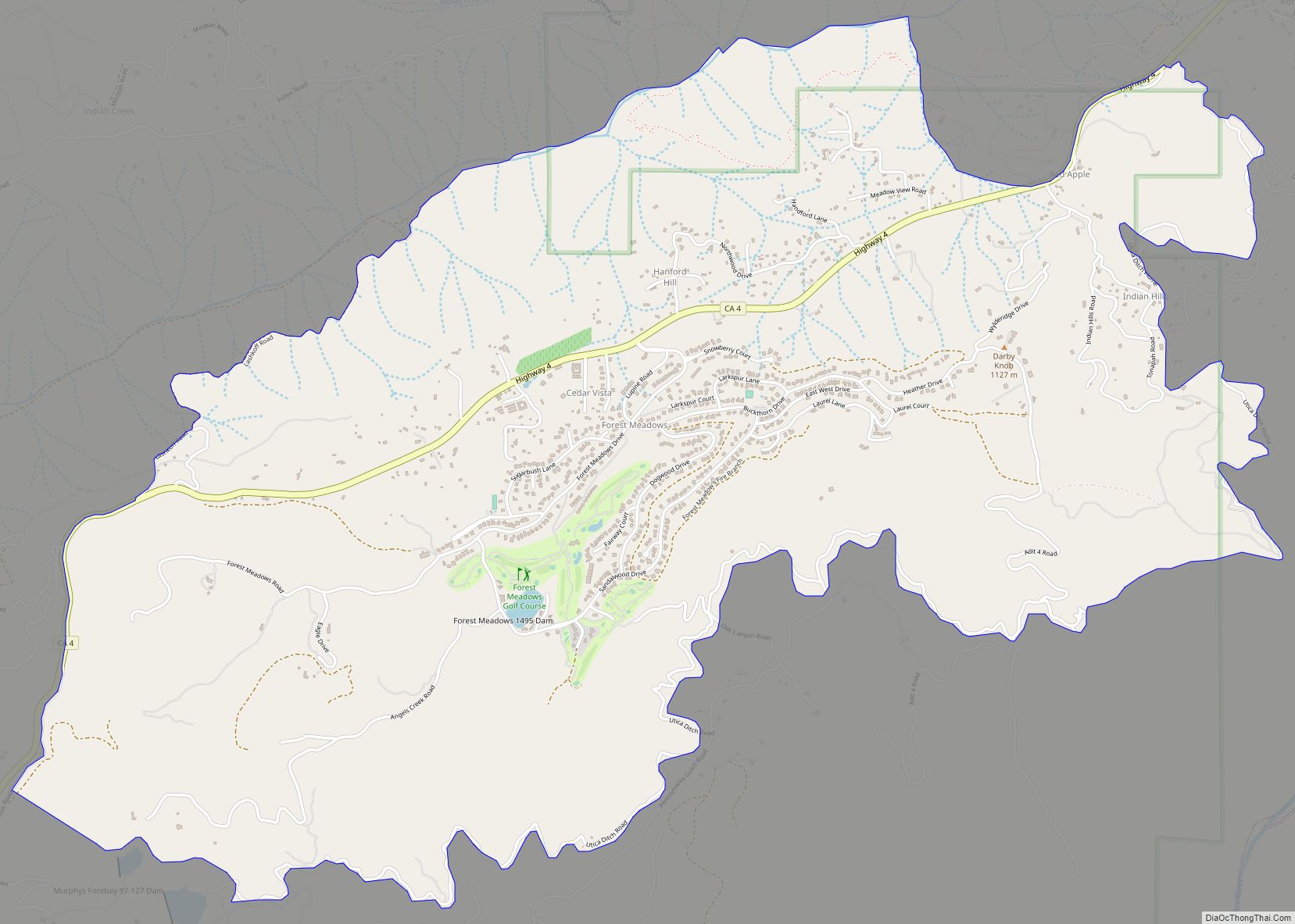
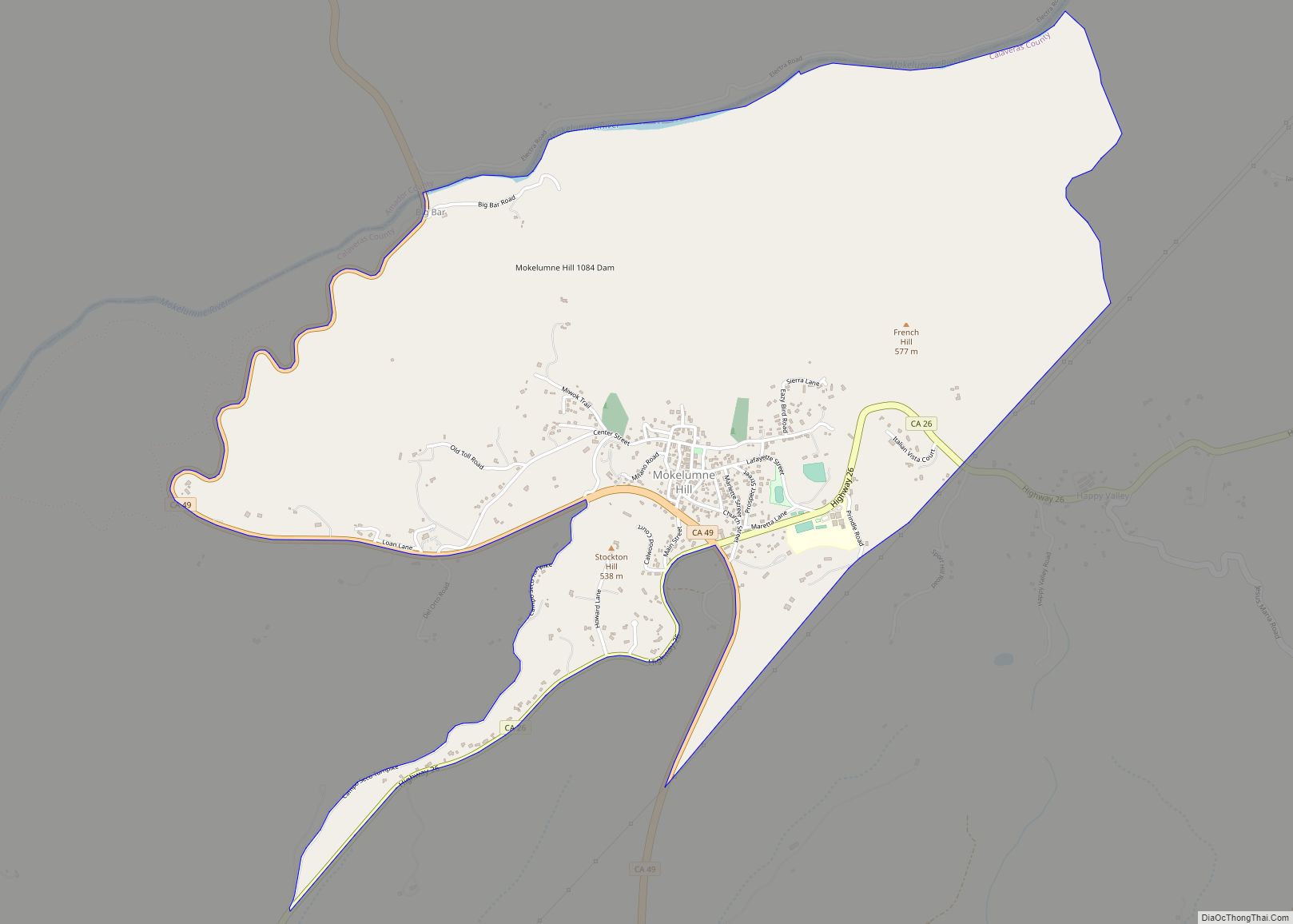
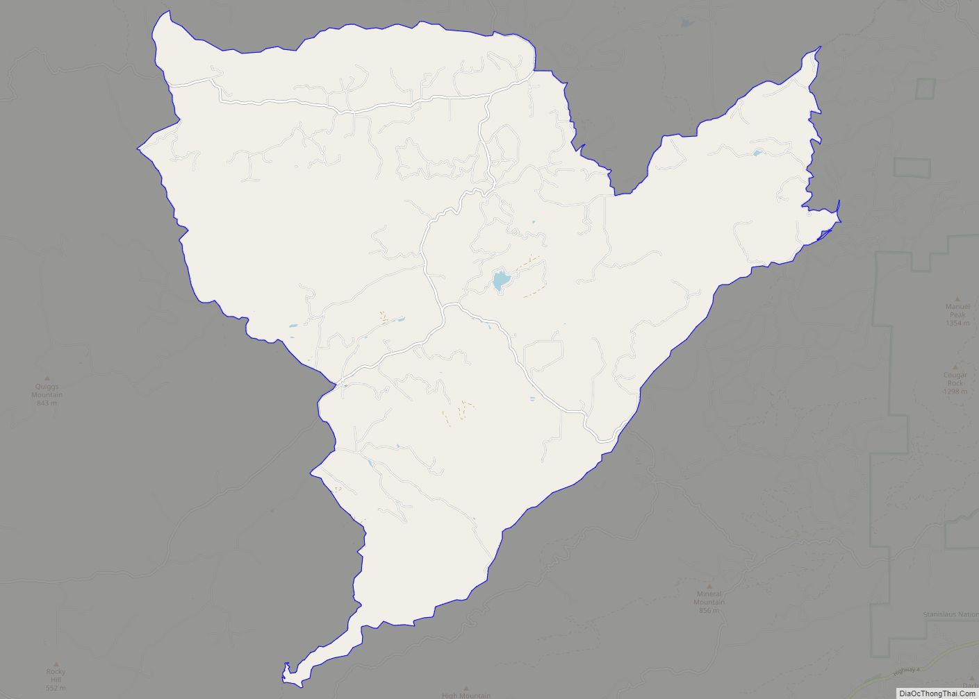
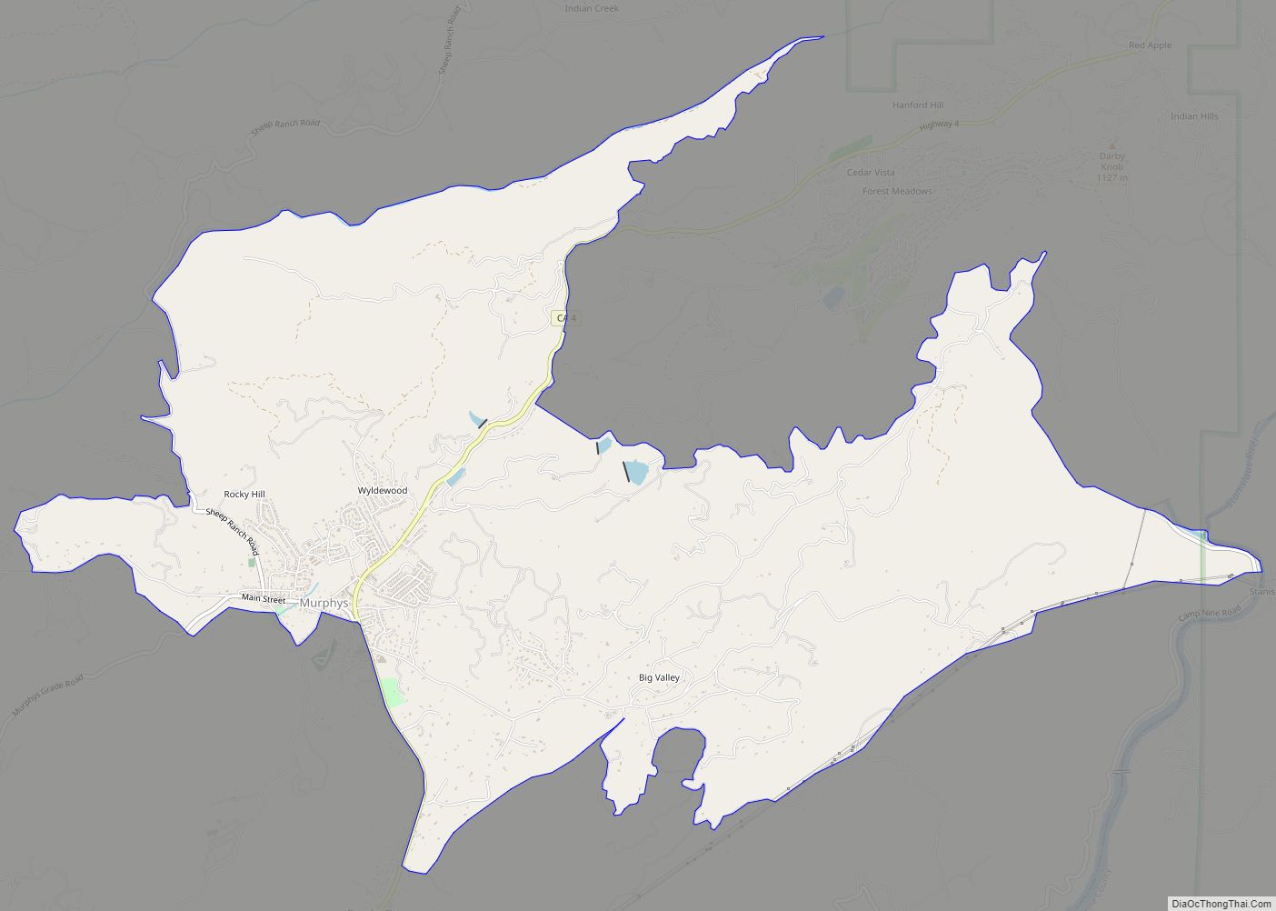
Online Interactive Map
Click on ![]() to view map in "full screen" mode.
to view map in "full screen" mode.
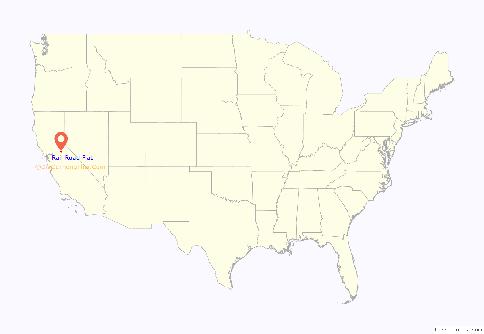
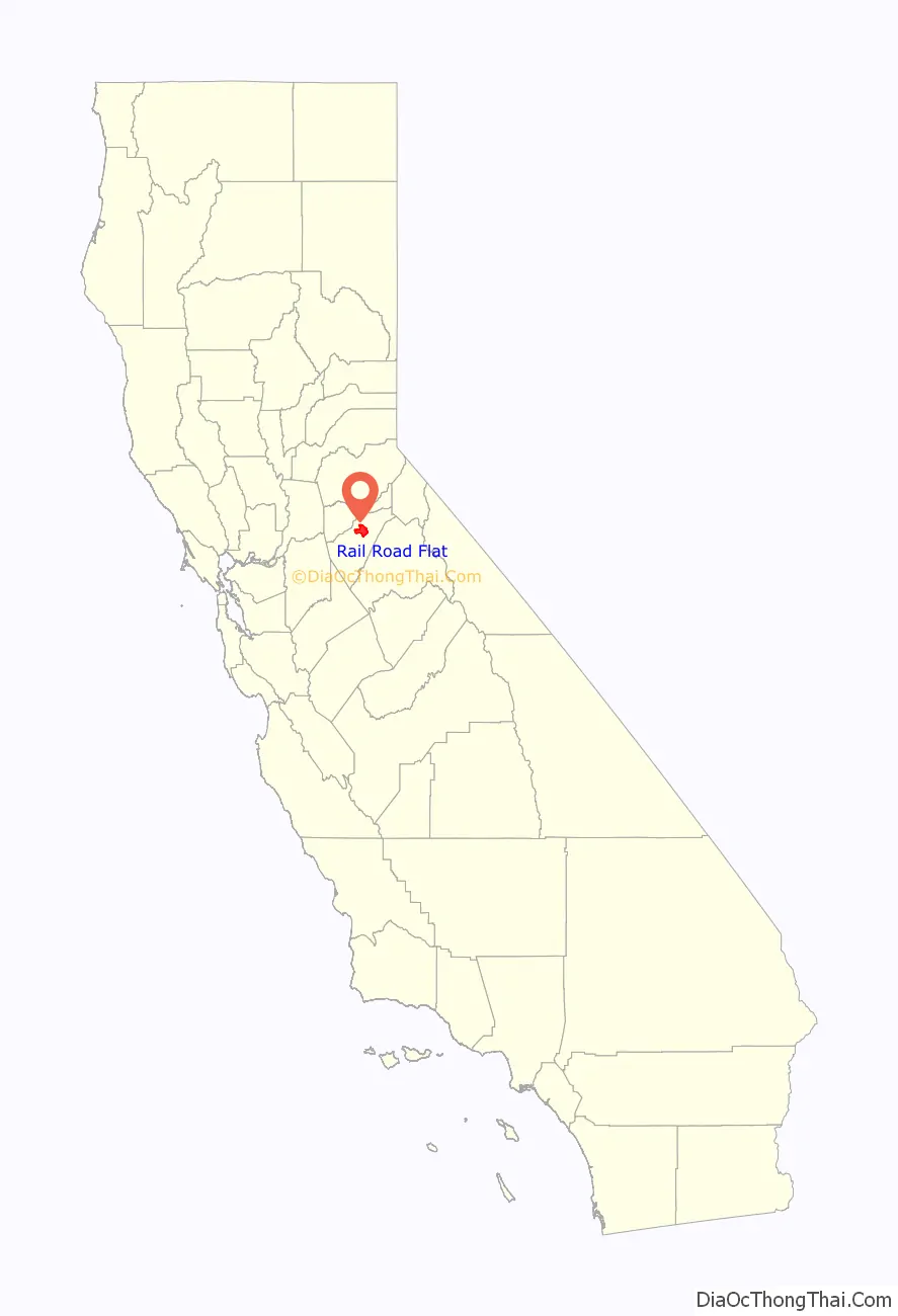
Rail Road Flat location map. Where is Rail Road Flat CDP?
History
This historic mining town, elevation 2,600 feet (788 m), was named after primitive mule-drawn ore cars used here. There was never actually a railroad here. The town was established in 1849. It was the site of an Indian council as well as the center of rich placer and quartz mining. Its largest producer was the Petticoat Mine. The post office was established in 1857, closed in 1858, and re-established in 1869 and the Edwin Taylor store built in 1867. The town’s population was decimated in 1880 by black fever.
The Clark Reservoir was created when an engineer named W.V. Clark constructed a ditch from the Mokelumne River, as there was not much water to work the placers. The reservoir, located on his property, supplied water to the mines and to the town.
The town is registered as California Historical Landmark #286.
Rail Road Flat Road Map
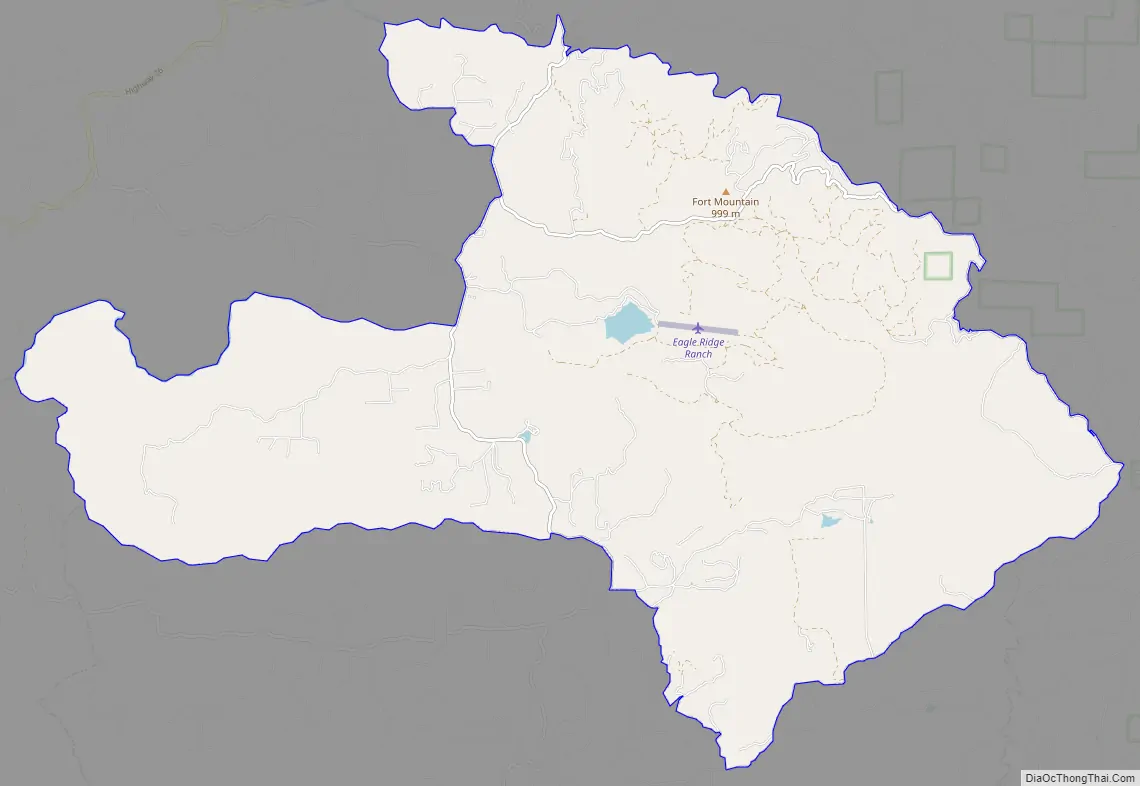
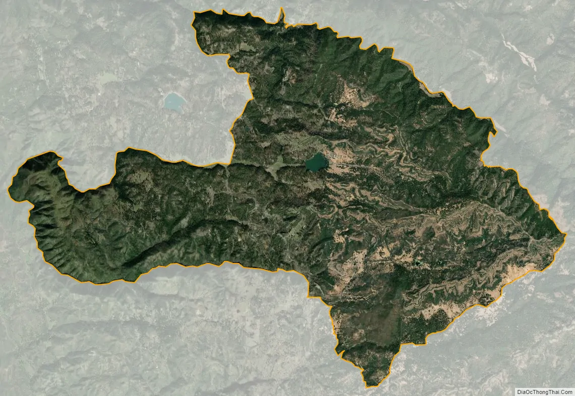
Rail Road Flat city Satellite Map
Geography
According to the United States Census Bureau, the CDP has a total area of 33.2 square miles (86 km), of which, 33.0 square miles (85 km) of it is land and 0.2 square miles (0.52 km) of it (0.47%) is water.
See also
Map of California State and its subdivision:- Alameda
- Alpine
- Amador
- Butte
- Calaveras
- Colusa
- Contra Costa
- Del Norte
- El Dorado
- Fresno
- Glenn
- Humboldt
- Imperial
- Inyo
- Kern
- Kings
- Lake
- Lassen
- Los Angeles
- Madera
- Marin
- Mariposa
- Mendocino
- Merced
- Modoc
- Mono
- Monterey
- Napa
- Nevada
- Orange
- Placer
- Plumas
- Riverside
- Sacramento
- San Benito
- San Bernardino
- San Diego
- San Francisco
- San Joaquin
- San Luis Obispo
- San Mateo
- Santa Barbara
- Santa Clara
- Santa Cruz
- Shasta
- Sierra
- Siskiyou
- Solano
- Sonoma
- Stanislaus
- Sutter
- Tehama
- Trinity
- Tulare
- Tuolumne
- Ventura
- Yolo
- Yuba
- Alabama
- Alaska
- Arizona
- Arkansas
- California
- Colorado
- Connecticut
- Delaware
- District of Columbia
- Florida
- Georgia
- Hawaii
- Idaho
- Illinois
- Indiana
- Iowa
- Kansas
- Kentucky
- Louisiana
- Maine
- Maryland
- Massachusetts
- Michigan
- Minnesota
- Mississippi
- Missouri
- Montana
- Nebraska
- Nevada
- New Hampshire
- New Jersey
- New Mexico
- New York
- North Carolina
- North Dakota
- Ohio
- Oklahoma
- Oregon
- Pennsylvania
- Rhode Island
- South Carolina
- South Dakota
- Tennessee
- Texas
- Utah
- Vermont
- Virginia
- Washington
- West Virginia
- Wisconsin
- Wyoming