Rancho Calaveras is a census-designated place (CDP) in Calaveras County, California, United States. The population was 5,325 at the 2010 census, up from 4,182 at the 2000 census.
| Name: | Rancho Calaveras CDP |
|---|---|
| LSAD Code: | 57 |
| LSAD Description: | CDP (suffix) |
| State: | California |
| County: | Calaveras County |
| Elevation: | 528 ft (161 m) |
| Total Area: | 8.406 sq mi (21.770 km²) |
| Land Area: | 8.376 sq mi (21.693 km²) |
| Water Area: | 0.030 sq mi (0.077 km²) 0.35% |
| Total Population: | 5,324 |
| Population Density: | 630/sq mi (240/km²) |
| ZIP code: | 95252 |
| Area code: | 209 |
| FIPS code: | 0659426 |
Online Interactive Map
Click on ![]() to view map in "full screen" mode.
to view map in "full screen" mode.
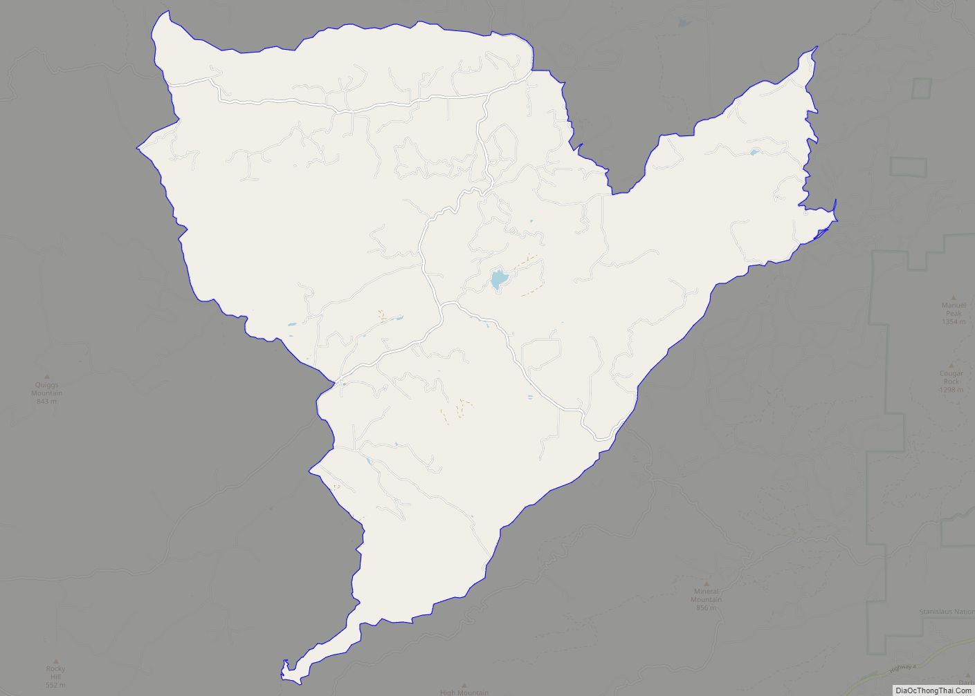
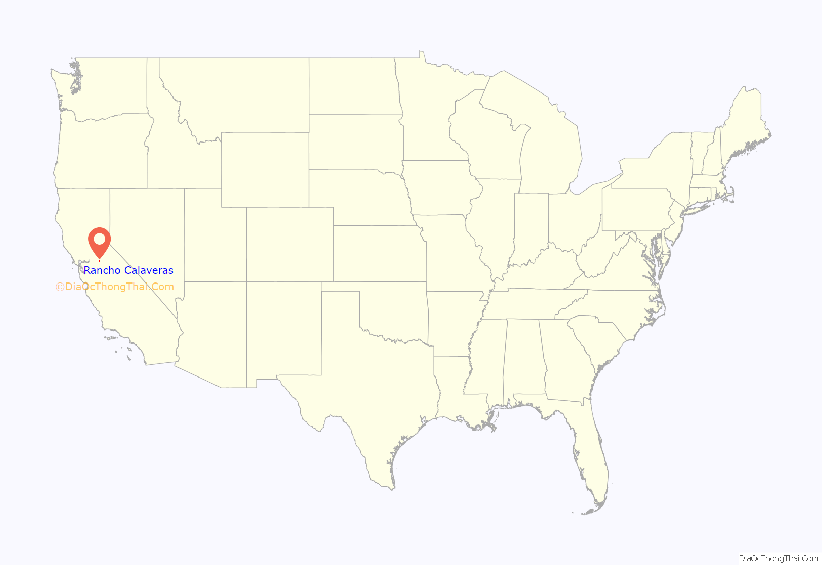
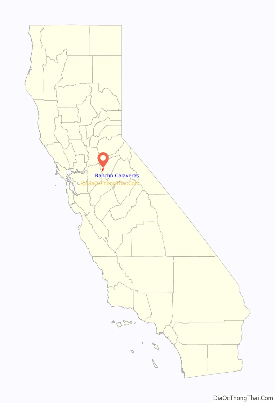
Rancho Calaveras location map. Where is Rancho Calaveras CDP?
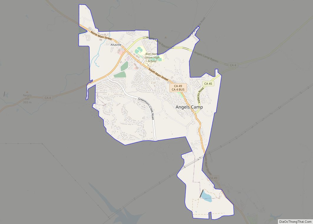
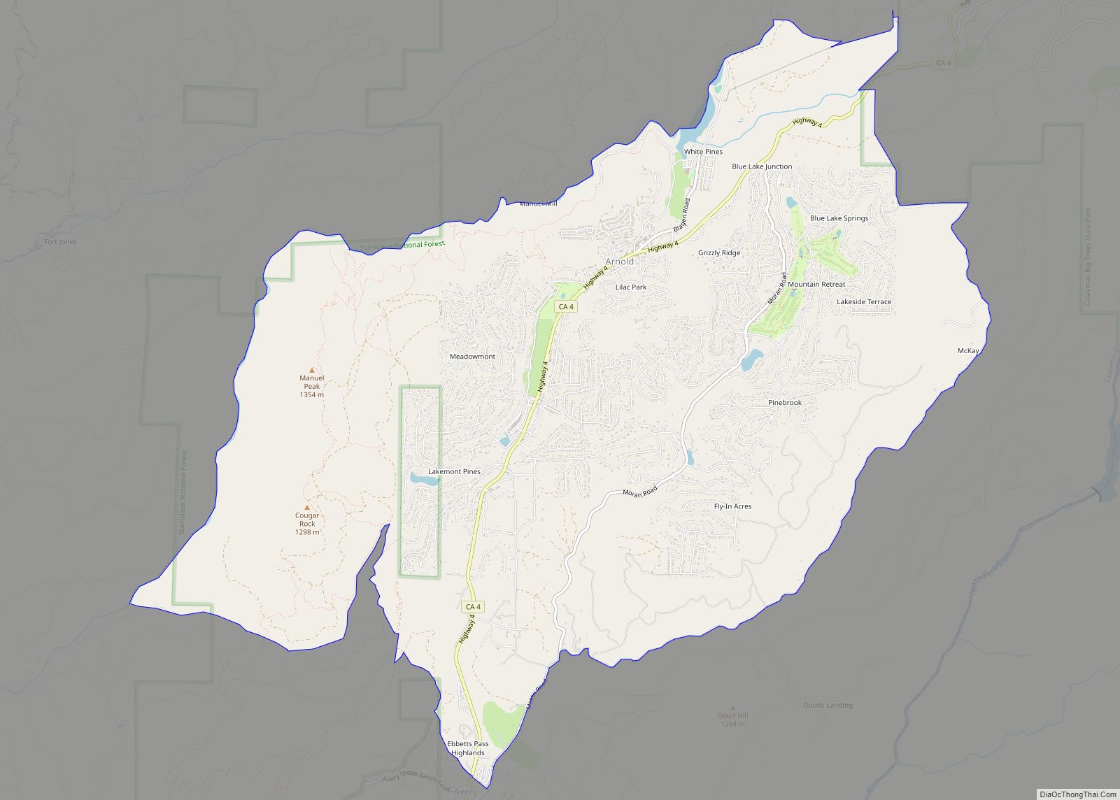
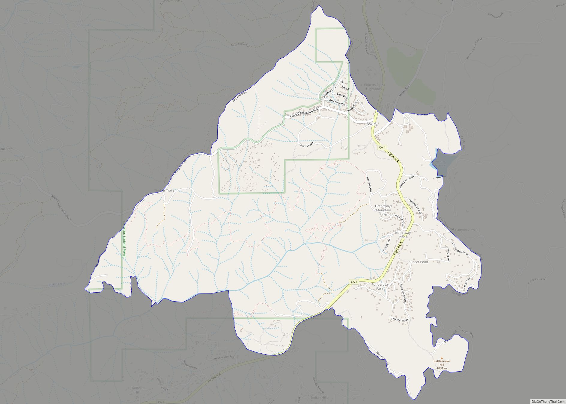
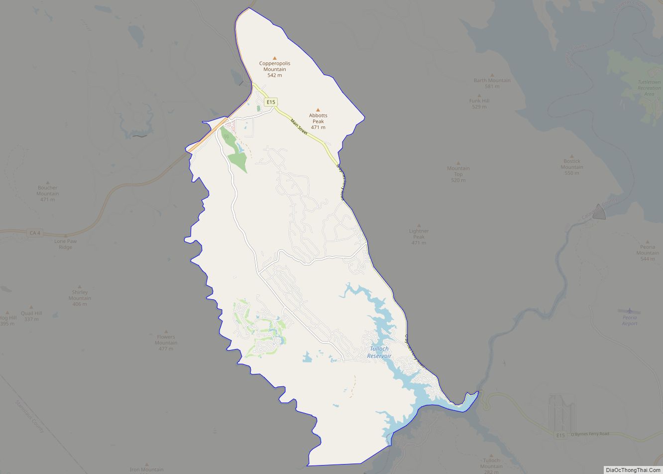
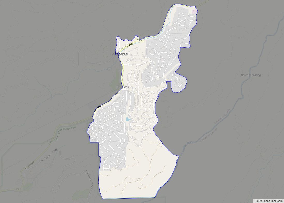
Rancho Calaveras Road Map
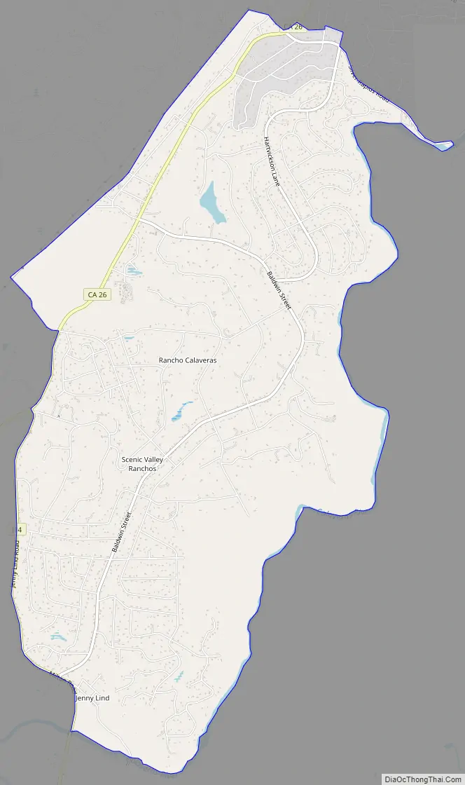
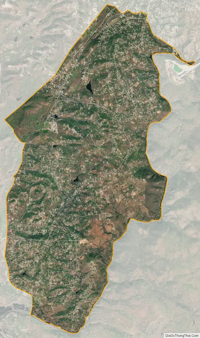
Rancho Calaveras city Satellite Map
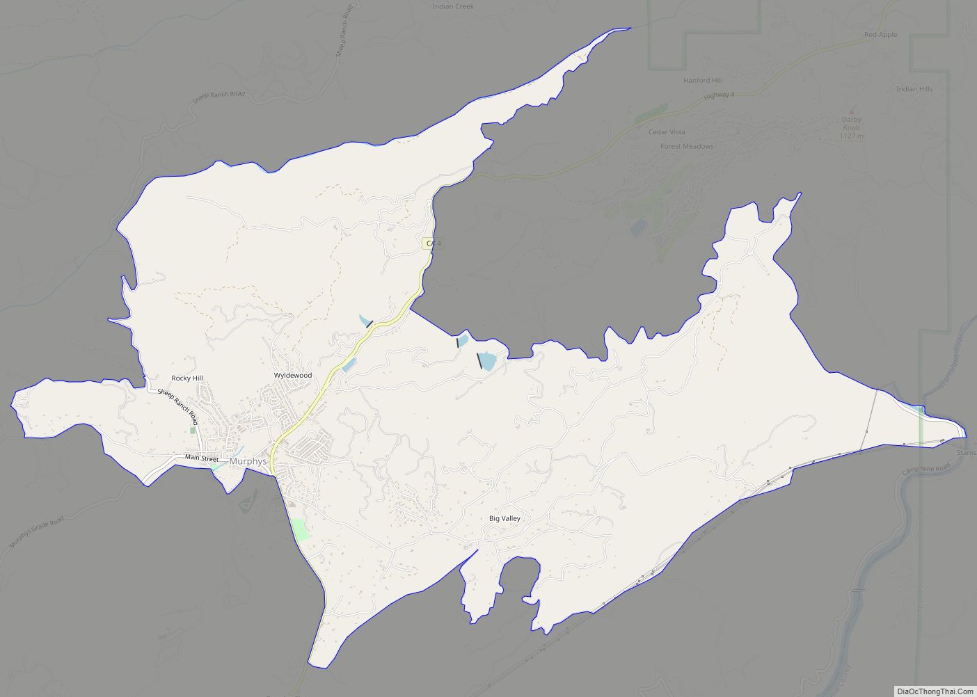
Geography
According to the United States Census Bureau, the CDP has a total area of 8.4 square miles (22 km), of which 99.65% of it is land, and 0.35% is water.
Climate
Rancho Calaveras has a hot-summer Mediterranean climate (Köppen Csa) typical of the Sierra Nevada foothills. Winters are cool and wet with mild days, chilly nights, and substantial rainfall. Summers are hot and dry with very hot days, cool nights, and minimal rainfall. Due to the orographic effect, rainfall in all seasons is significantly greater than on the valley floor to the west.
See also
Map of California State and its subdivision:- Alameda
- Alpine
- Amador
- Butte
- Calaveras
- Colusa
- Contra Costa
- Del Norte
- El Dorado
- Fresno
- Glenn
- Humboldt
- Imperial
- Inyo
- Kern
- Kings
- Lake
- Lassen
- Los Angeles
- Madera
- Marin
- Mariposa
- Mendocino
- Merced
- Modoc
- Mono
- Monterey
- Napa
- Nevada
- Orange
- Placer
- Plumas
- Riverside
- Sacramento
- San Benito
- San Bernardino
- San Diego
- San Francisco
- San Joaquin
- San Luis Obispo
- San Mateo
- Santa Barbara
- Santa Clara
- Santa Cruz
- Shasta
- Sierra
- Siskiyou
- Solano
- Sonoma
- Stanislaus
- Sutter
- Tehama
- Trinity
- Tulare
- Tuolumne
- Ventura
- Yolo
- Yuba
- Alabama
- Alaska
- Arizona
- Arkansas
- California
- Colorado
- Connecticut
- Delaware
- District of Columbia
- Florida
- Georgia
- Hawaii
- Idaho
- Illinois
- Indiana
- Iowa
- Kansas
- Kentucky
- Louisiana
- Maine
- Maryland
- Massachusetts
- Michigan
- Minnesota
- Mississippi
- Missouri
- Montana
- Nebraska
- Nevada
- New Hampshire
- New Jersey
- New Mexico
- New York
- North Carolina
- North Dakota
- Ohio
- Oklahoma
- Oregon
- Pennsylvania
- Rhode Island
- South Carolina
- South Dakota
- Tennessee
- Texas
- Utah
- Vermont
- Virginia
- Washington
- West Virginia
- Wisconsin
- Wyoming