Rancho Santa Fe is a census-designated place (CDP) in San Diego County, California, United States, within the San Diego metropolitan area. The population was 3,156 at the 2020 census. The CDP is primarily residential with a few shopping blocks, a middle and elementary school, and several restaurants.
Rancho Santa Fe borders the Fairbanks Ranch gated community to the southeast and Solana Beach to the southwest.
| Name: | Rancho Santa Fe CDP |
|---|---|
| LSAD Code: | 57 |
| LSAD Description: | CDP (suffix) |
| State: | California |
| County: | San Diego County |
| Elevation: | 246 ft (75 m) |
| Total Area: | 6.788 sq mi (17.581 km²) |
| Land Area: | 6.715 sq mi (17.392 km²) |
| Water Area: | 0.073 sq mi (0.189 km²) 1.07% |
| Total Population: | 3,156 |
| Population Density: | 460/sq mi (180/km²) |
| ZIP code: | 92067, 92091 |
| Area code: | 858 |
| FIPS code: | 0659584 |
Online Interactive Map
Click on ![]() to view map in "full screen" mode.
to view map in "full screen" mode.
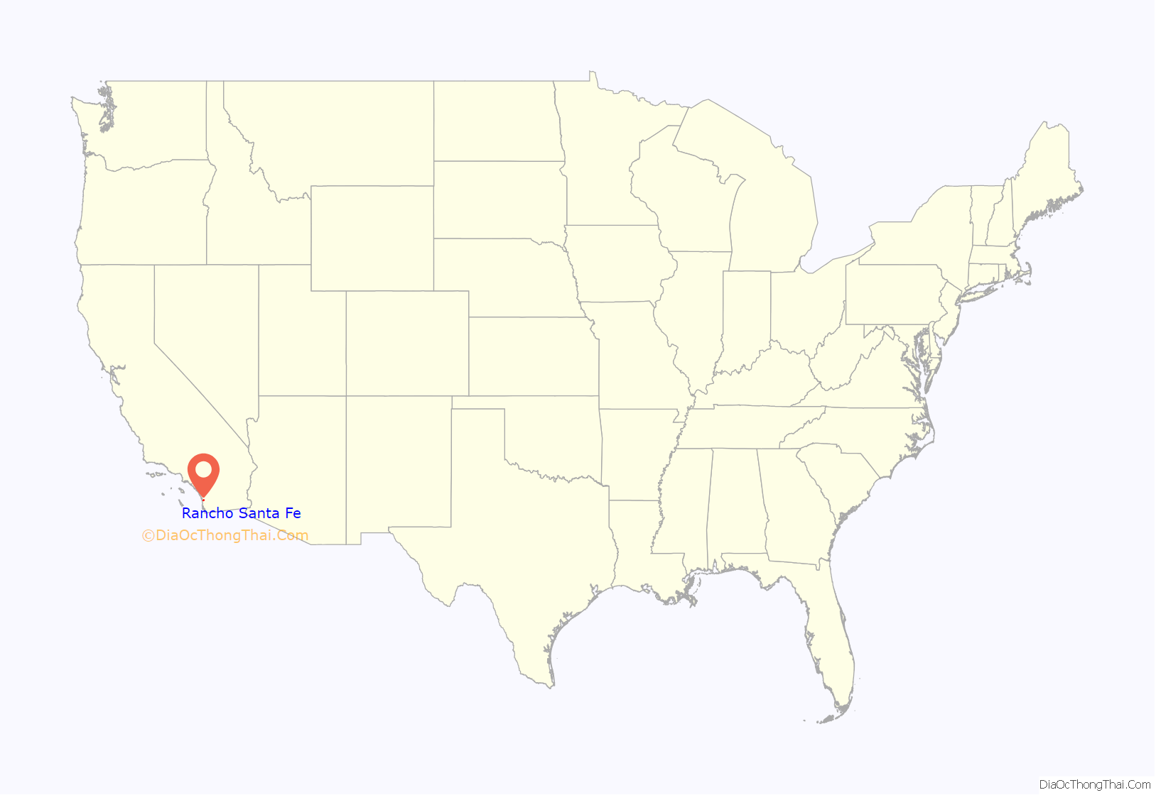
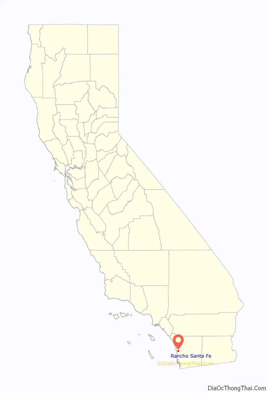
Rancho Santa Fe location map. Where is Rancho Santa Fe CDP?
History
In 1841, Rancho San Dieguito, as it was originally named, was a Mexican land grant of 8,824 acres (35.71 km) from Governor Pío Pico of Alta California to Juan Maria Osuna, the first alcalde (mayor) of the Pueblo of San Diego.
In 1906, the Santa Fe Railway, a subsidiary of the Atchison, Topeka & Santa Fe Railway, purchased the entire land grant to plant a Blue gum eucalyptus (Eucalyptus globulus) tree plantation for use as railroad ties, but the wood proved too soft to hold railroad spikes. The railroad then formed the Santa Fe Land Improvement Company to develop a planned community of country estates, and 6,200 acres (25 km) developed from the original Rancho San Dieguito land grant were renamed “Rancho Santa Fe” in 1922.
In 1921, architect Lilian Rice, working under Requa and Jackson, was chosen to develop the community’s master plan. Rice worked through to 1927, designing, supervising, and constructing the village center, as well as several homes. The basics of the original Lilian Rice land plan are in effect to this day, and the resulting low density high green space community is unique in Southern California.
In 1923, the Santa Fe Land Company constructed a guest house called “La Morada” to house potential land purchasers. It was renamed in 1941, as “The Inn”, when it was purchased by a private owner.
From 1937 to 1947, Bing Crosby hosted a golf tournament known as the “Bing Crosby Clambake” at the Rancho Santa Fe Country Club. Crosby’s golf tournaments, which included Hollywood celebrities matched against professionals, drew great crowds to the area. After 1947, the tournament was moved to Monterey Peninsula, just outside San Francisco.
In 1989, “The Covenant” of Rancho Santa Fe was registered as California Historical Landmark #982 for its status as a historic planned community.
In 1996, the religious cult Heaven’s Gate began renting a mansion in Rancho Santa Fe which, in March 1997, became the site of the group’s mass suicide.
In 2007, the Witch Fire caused significant damage to Rancho Santa Fe, damaging or destroying over 80 homes.
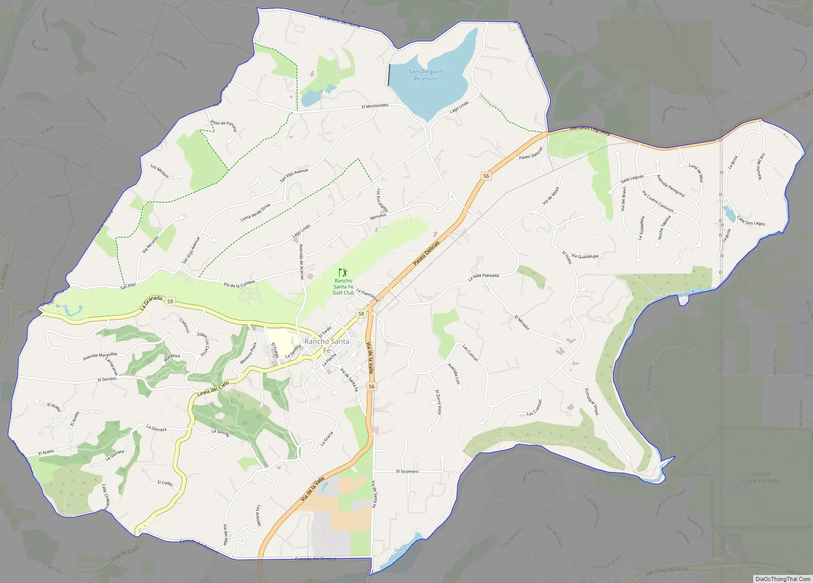
Rancho Santa Fe Road Map
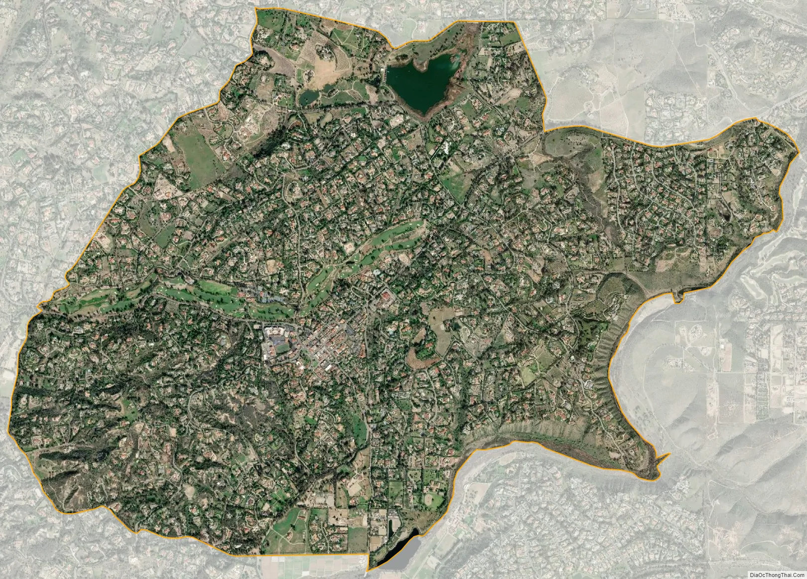
Rancho Santa Fe city Satellite Map
Geography
Rancho Santa Fe is located at 33°1′26″N 117°12′0″W / 33.02389°N 117.20000°W / 33.02389; -117.20000 (33.023943, -117.200110).
According to the United States Census Bureau, the CDP has a total area of 6.8 square miles (18 km). 6.7 square miles (17 km) of it is land and 0.1 square miles (0.26 km) of it (1.07%) is water.
Climate
According to the Köppen Climate Classification system, Rancho Santa Fe has a warm-summer Mediterranean climate, abbreviated “Csa” on climate maps.
The climate of Rancho Santa Fe is, for the most part, typical of the San Diego metropolitan area though its higher elevation and inland location lends itself to larger temperature variations.
See also
Map of California State and its subdivision:- Alameda
- Alpine
- Amador
- Butte
- Calaveras
- Colusa
- Contra Costa
- Del Norte
- El Dorado
- Fresno
- Glenn
- Humboldt
- Imperial
- Inyo
- Kern
- Kings
- Lake
- Lassen
- Los Angeles
- Madera
- Marin
- Mariposa
- Mendocino
- Merced
- Modoc
- Mono
- Monterey
- Napa
- Nevada
- Orange
- Placer
- Plumas
- Riverside
- Sacramento
- San Benito
- San Bernardino
- San Diego
- San Francisco
- San Joaquin
- San Luis Obispo
- San Mateo
- Santa Barbara
- Santa Clara
- Santa Cruz
- Shasta
- Sierra
- Siskiyou
- Solano
- Sonoma
- Stanislaus
- Sutter
- Tehama
- Trinity
- Tulare
- Tuolumne
- Ventura
- Yolo
- Yuba
- Alabama
- Alaska
- Arizona
- Arkansas
- California
- Colorado
- Connecticut
- Delaware
- District of Columbia
- Florida
- Georgia
- Hawaii
- Idaho
- Illinois
- Indiana
- Iowa
- Kansas
- Kentucky
- Louisiana
- Maine
- Maryland
- Massachusetts
- Michigan
- Minnesota
- Mississippi
- Missouri
- Montana
- Nebraska
- Nevada
- New Hampshire
- New Jersey
- New Mexico
- New York
- North Carolina
- North Dakota
- Ohio
- Oklahoma
- Oregon
- Pennsylvania
- Rhode Island
- South Carolina
- South Dakota
- Tennessee
- Texas
- Utah
- Vermont
- Virginia
- Washington
- West Virginia
- Wisconsin
- Wyoming


