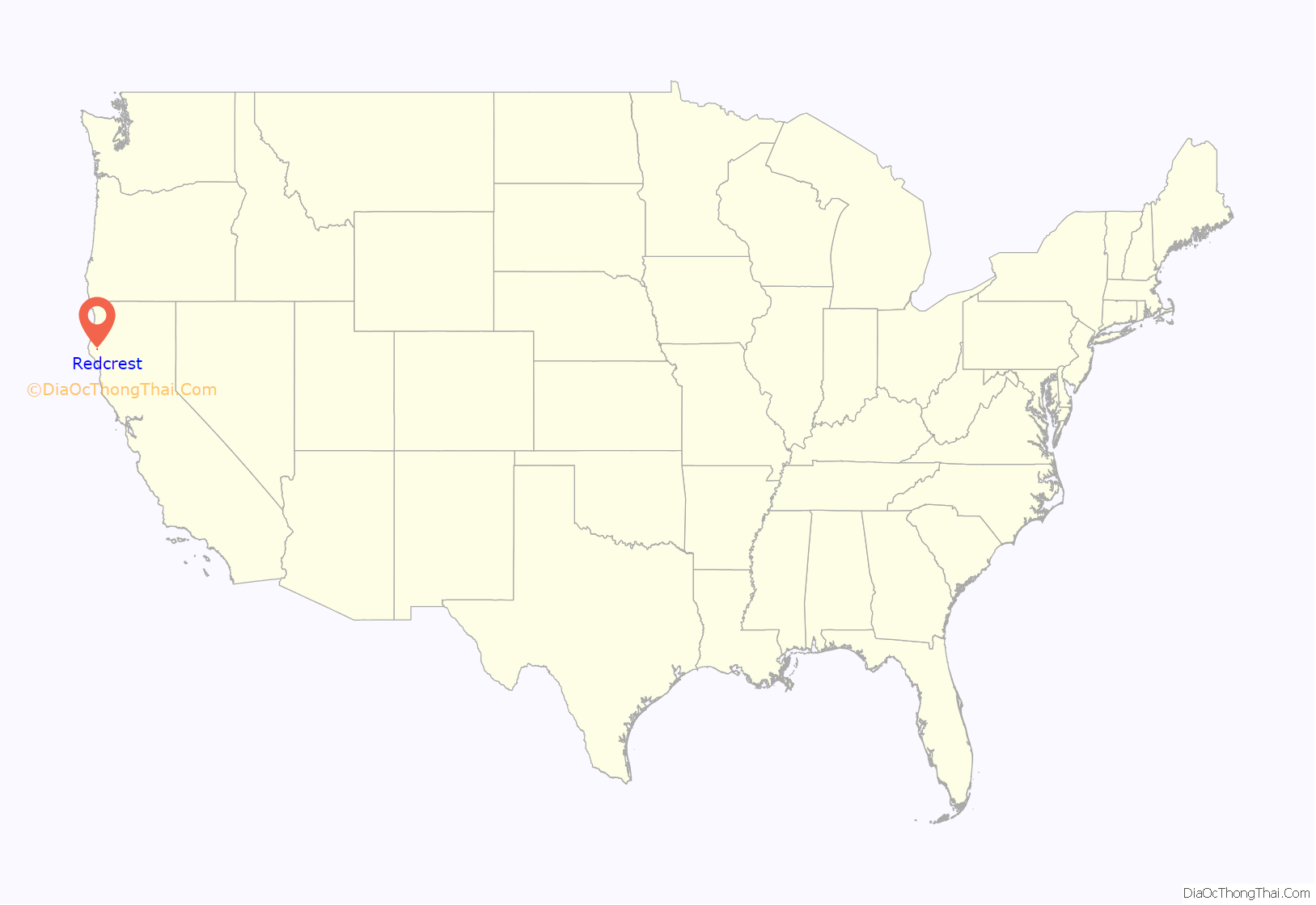
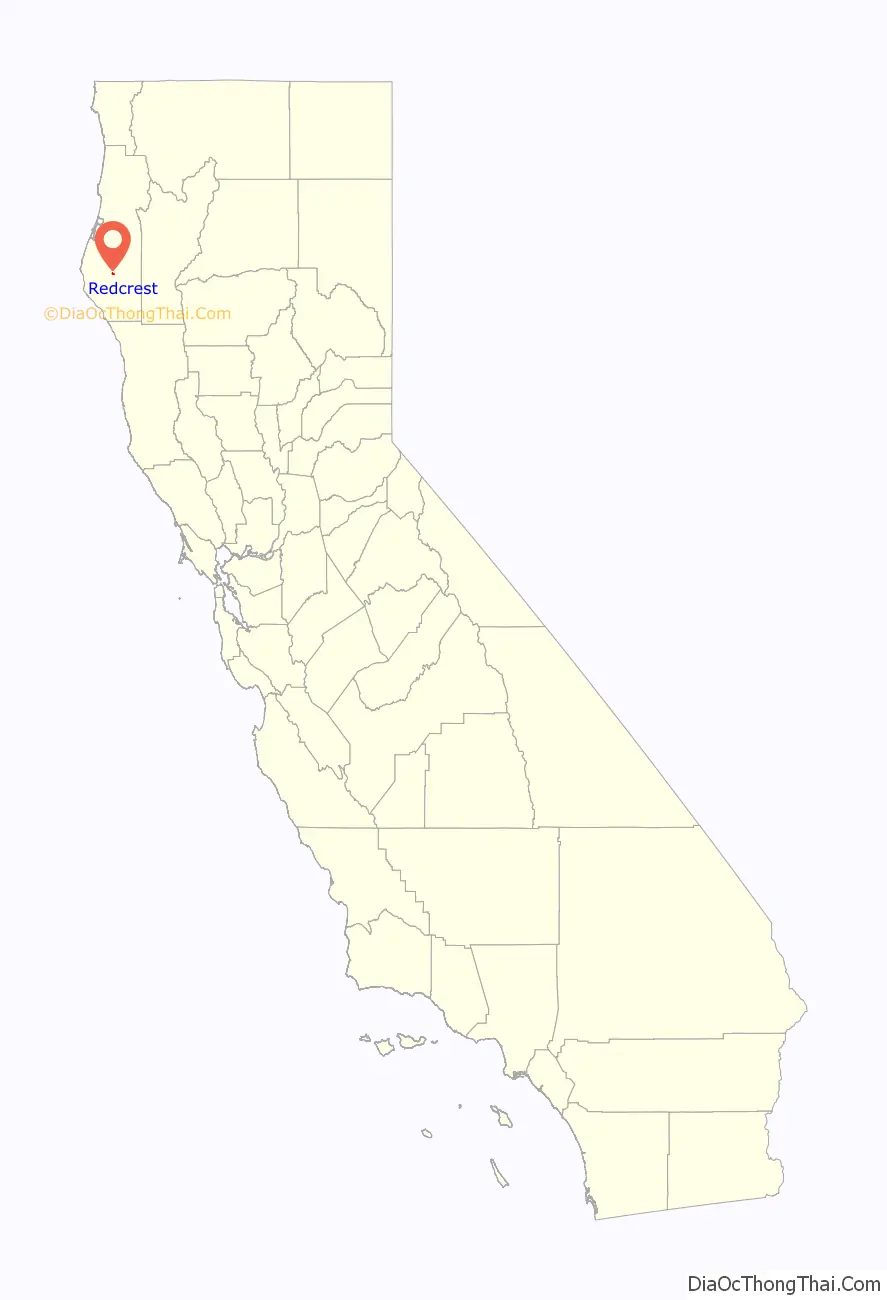
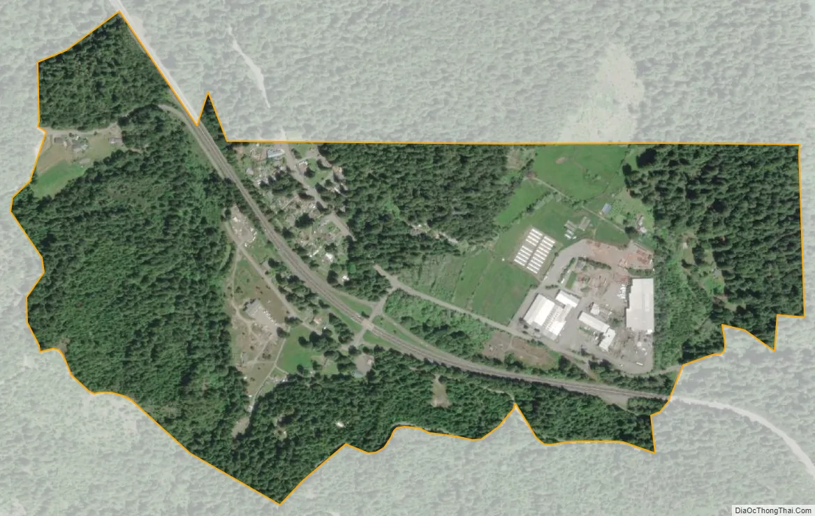
Redcrest is a census-designated place in Humboldt County, California. It is located 5.5 miles (8.9 km) north of Weott, at an elevation of 377 feet (115 m). The population was 89 at the 2010 census.
The Redcrest post office was established in 1965.
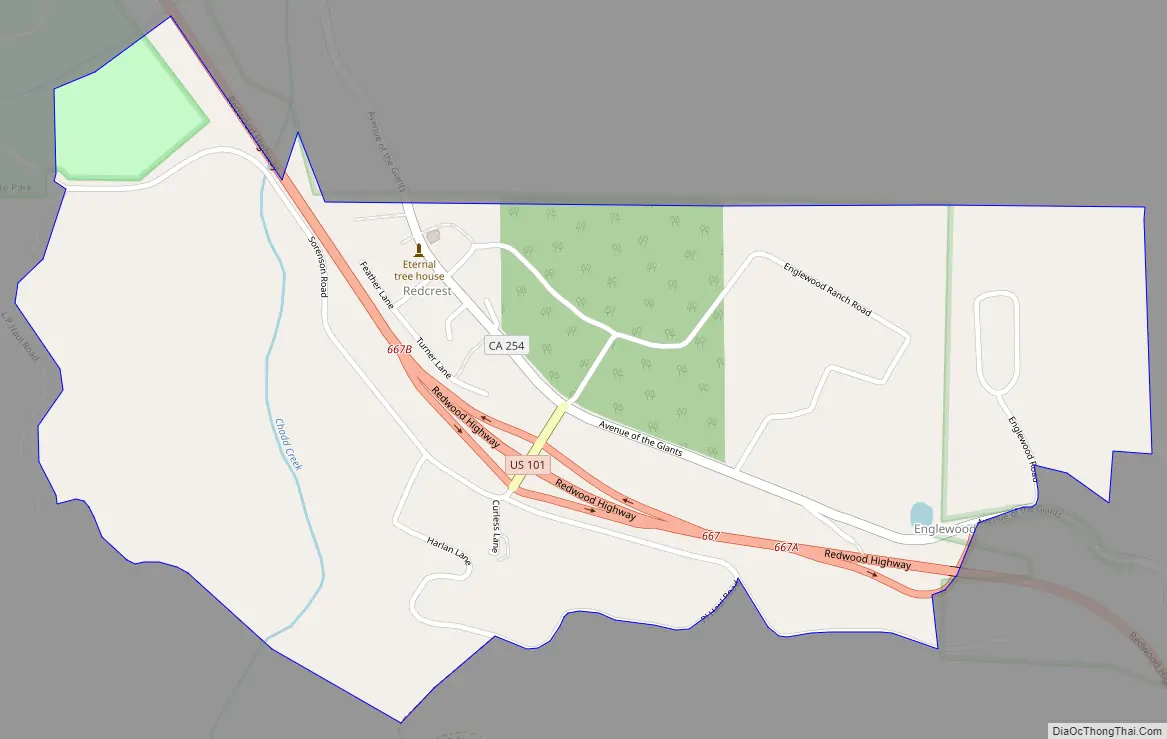
The greater Redcrest area includes the Holmes flat, Englewood and Larabee areas.
Redcrest is located along the Avenue of the Giants. The ZIP Code is 95569. The community is inside area code 707.
| Name: | Redcrest CDP |
|---|---|
| LSAD Code: | 57 |
| LSAD Description: | CDP (suffix) |
| State: | California |
| County: | Humboldt County |
| Elevation: | 377 ft (115 m) |
| Total Area: | 0.598 sq mi (1.549 km²) |
| Land Area: | 0.598 sq mi (1.549 km²) |
| Water Area: | 0 sq mi (0 km²) 0% |
| Total Population: | 61 |
| Population Density: | 100/sq mi (39/km²) |
| ZIP code: | 95569 |
| Area code: | 707 |
| FIPS code: | 0659906 |
Online Interactive Map
Click on ![]() to view map in "full screen" mode.
to view map in "full screen" mode.
Redcrest location map. Where is Redcrest CDP?
Redcrest Road Map
Redcrest city Satellite Map
See also
Map of California State and its subdivision:- Alameda
- Alpine
- Amador
- Butte
- Calaveras
- Colusa
- Contra Costa
- Del Norte
- El Dorado
- Fresno
- Glenn
- Humboldt
- Imperial
- Inyo
- Kern
- Kings
- Lake
- Lassen
- Los Angeles
- Madera
- Marin
- Mariposa
- Mendocino
- Merced
- Modoc
- Mono
- Monterey
- Napa
- Nevada
- Orange
- Placer
- Plumas
- Riverside
- Sacramento
- San Benito
- San Bernardino
- San Diego
- San Francisco
- San Joaquin
- San Luis Obispo
- San Mateo
- Santa Barbara
- Santa Clara
- Santa Cruz
- Shasta
- Sierra
- Siskiyou
- Solano
- Sonoma
- Stanislaus
- Sutter
- Tehama
- Trinity
- Tulare
- Tuolumne
- Ventura
- Yolo
- Yuba
- Alabama
- Alaska
- Arizona
- Arkansas
- California
- Colorado
- Connecticut
- Delaware
- District of Columbia
- Florida
- Georgia
- Hawaii
- Idaho
- Illinois
- Indiana
- Iowa
- Kansas
- Kentucky
- Louisiana
- Maine
- Maryland
- Massachusetts
- Michigan
- Minnesota
- Mississippi
- Missouri
- Montana
- Nebraska
- Nevada
- New Hampshire
- New Jersey
- New Mexico
- New York
- North Carolina
- North Dakota
- Ohio
- Oklahoma
- Oregon
- Pennsylvania
- Rhode Island
- South Carolina
- South Dakota
- Tennessee
- Texas
- Utah
- Vermont
- Virginia
- Washington
- West Virginia
- Wisconsin
- Wyoming


