Redway is a census-designated place (CDP) in Humboldt County, California, United States. Redway is located 2.25 miles (3.6 km) northwest of Garberville, at an elevation of 538 feet (164 m). The population was 1,225 at the 2010 census, up from 1,188 at the 2000 census. Redway is also home to Redway Elementary School, with grades K–6.
| Name: | Redway CDP |
|---|---|
| LSAD Code: | 57 |
| LSAD Description: | CDP (suffix) |
| State: | California |
| County: | Humboldt County |
| Elevation: | 538 ft (164 m) |
| Total Area: | 1.271 sq mi (3.295 km²) |
| Land Area: | 1.250 sq mi (3.239 km²) |
| Water Area: | 0.021 sq mi (0.056 km²) 1.7% |
| Total Population: | 1,247 |
| Population Density: | 980/sq mi (380/km²) |
| ZIP code: | 95560 |
| Area code: | 707 |
| FIPS code: | 0660088 |
| GNISfeature ID: | 0277583 |
Online Interactive Map
Click on ![]() to view map in "full screen" mode.
to view map in "full screen" mode.
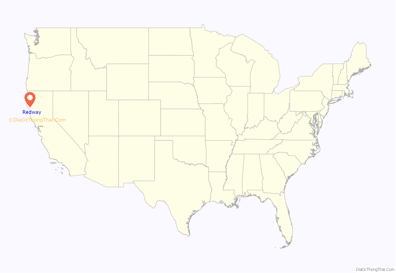
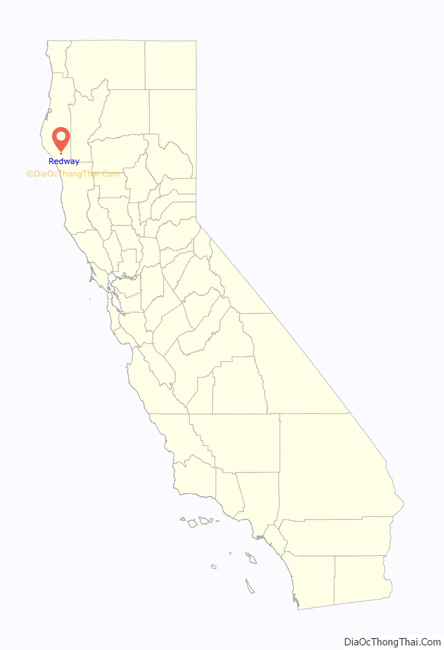
Redway location map. Where is Redway CDP?
History
The town was founded by Oscar and Charles Burris in 1923.
Originally, Redway was a resort-style golf course in operation c. 1925–26. This is evident by some of the street names such as “Birdie”, “Par”, and “Green”. In the 1930s, the Burris brothers formed a subdivision of summer homes.
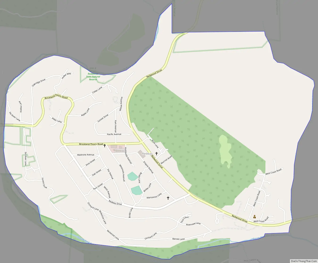
Redway Road Map
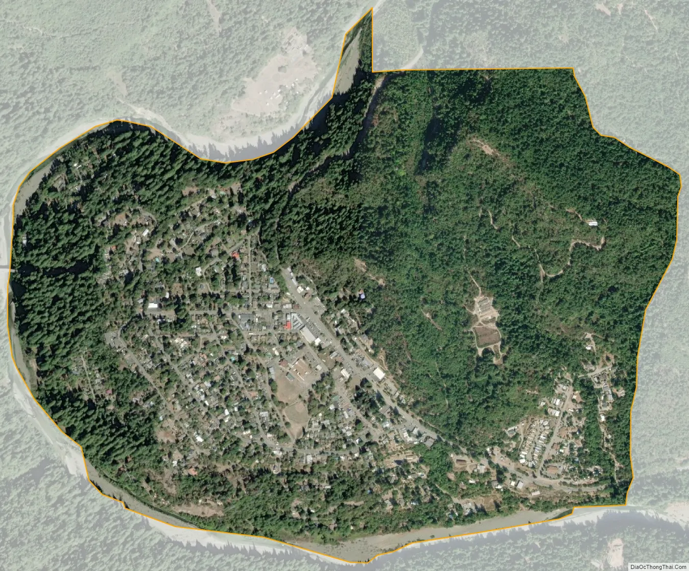
Redway city Satellite Map
Geography
According to the United States Census Bureau, the CDP has a total area of 1.3 square miles (3.4 km), of which 1.25 square miles (3.2 km) of it is land and 0.02 square miles (0.052 km) of it (1.7%) is water.
See also
Map of California State and its subdivision:- Alameda
- Alpine
- Amador
- Butte
- Calaveras
- Colusa
- Contra Costa
- Del Norte
- El Dorado
- Fresno
- Glenn
- Humboldt
- Imperial
- Inyo
- Kern
- Kings
- Lake
- Lassen
- Los Angeles
- Madera
- Marin
- Mariposa
- Mendocino
- Merced
- Modoc
- Mono
- Monterey
- Napa
- Nevada
- Orange
- Placer
- Plumas
- Riverside
- Sacramento
- San Benito
- San Bernardino
- San Diego
- San Francisco
- San Joaquin
- San Luis Obispo
- San Mateo
- Santa Barbara
- Santa Clara
- Santa Cruz
- Shasta
- Sierra
- Siskiyou
- Solano
- Sonoma
- Stanislaus
- Sutter
- Tehama
- Trinity
- Tulare
- Tuolumne
- Ventura
- Yolo
- Yuba
- Alabama
- Alaska
- Arizona
- Arkansas
- California
- Colorado
- Connecticut
- Delaware
- District of Columbia
- Florida
- Georgia
- Hawaii
- Idaho
- Illinois
- Indiana
- Iowa
- Kansas
- Kentucky
- Louisiana
- Maine
- Maryland
- Massachusetts
- Michigan
- Minnesota
- Mississippi
- Missouri
- Montana
- Nebraska
- Nevada
- New Hampshire
- New Jersey
- New Mexico
- New York
- North Carolina
- North Dakota
- Ohio
- Oklahoma
- Oregon
- Pennsylvania
- Rhode Island
- South Carolina
- South Dakota
- Tennessee
- Texas
- Utah
- Vermont
- Virginia
- Washington
- West Virginia
- Wisconsin
- Wyoming


