Rio Linda (Spanish: Río Linda, meaning “Pretty River”) is a census-designated place (CDP) in Sacramento County, California. It is part of the Sacramento metropolitan area. As of the 2010 census, the CDP population was 15,106, up from 10,466 at the time of the 2000 census.
| Name: | Rio Linda CDP |
|---|---|
| LSAD Code: | 57 |
| LSAD Description: | CDP (suffix) |
| State: | California |
| County: | Sacramento County |
| Elevation: | 56 ft (17 m) |
| Total Area: | 9.904 sq mi (25.65 km²) |
| Land Area: | 9.904 sq mi (25.65 km²) |
| Water Area: | 0 sq mi (0 km²) 0% |
| Total Population: | 15,944 |
| ZIP code: | 95673 |
| Area code: | 916, 279 |
| FIPS code: | 0660942 |
| GNISfeature ID: | 1659514 |
Online Interactive Map
Click on ![]() to view map in "full screen" mode.
to view map in "full screen" mode.
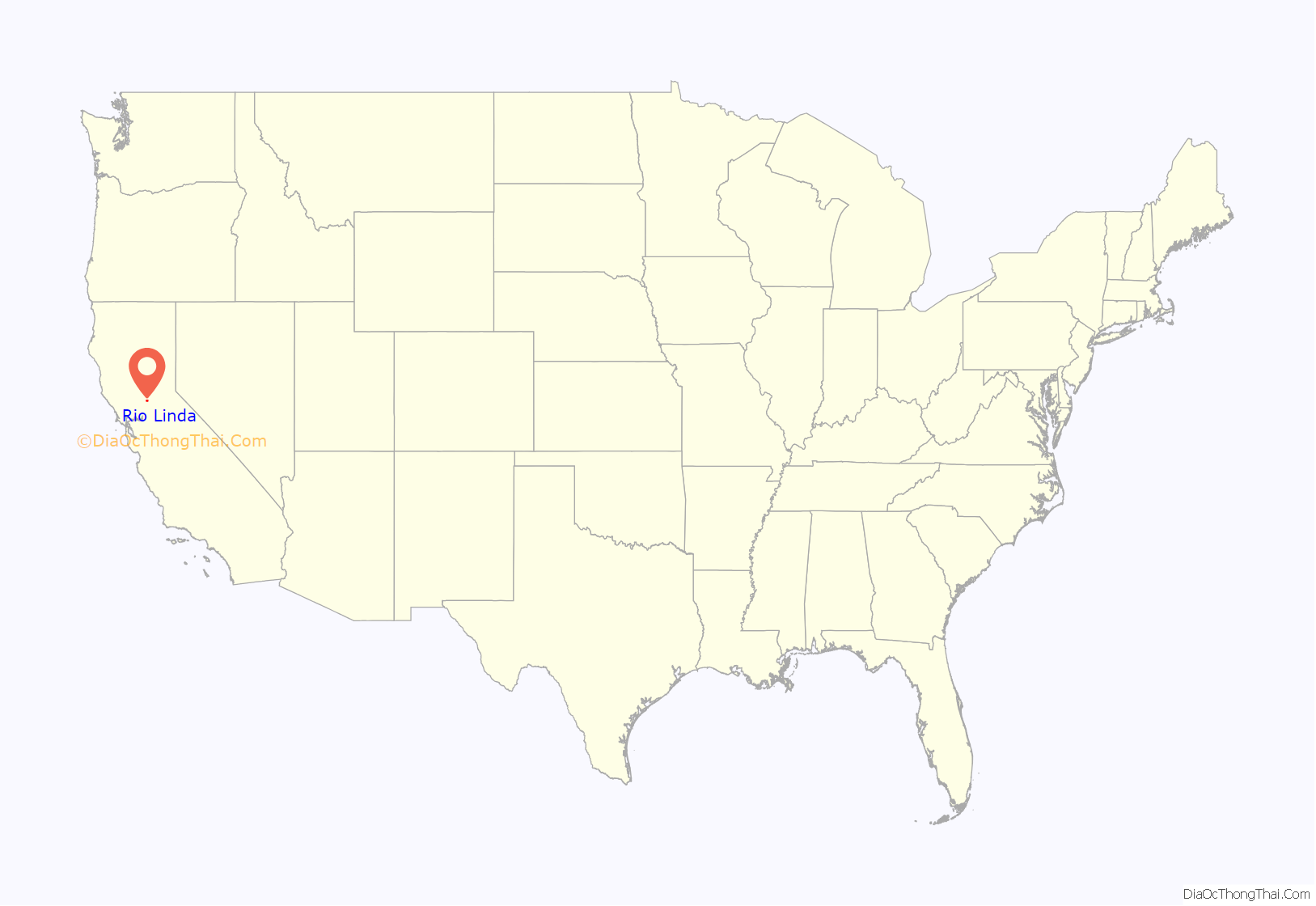
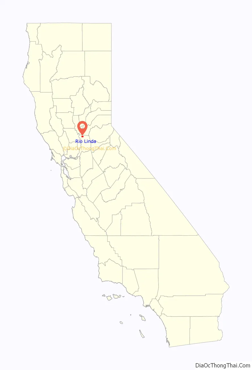
Rio Linda location map. Where is Rio Linda CDP?
History
The Rio Linda/Elverta community is located on part of the Rancho Del Paso Mexican land grant of 1844. In 1910, a Fruit Land Company of Minneapolis acquired 12,000 acres (49 km) of the Grant and in 1912 the area was subdivided. Renamed Rio Linda in 1913, it was known as ‘Dry Creek Station’, a flag stop for the Northern Electric Railroad, renamed the Sacramento Northern Railway after joining the San Francisco–Sacramento system to improve service the Sacramento Valley. Two families settled in Rio Linda by 1912, three more arrived in 1913, and nine more in 1914. By 1918, approximately fifty families in the community, mostly of Scandinavian and German descent. By 1920, poultry farming had proved to be feasible in the area which was advertised throughout several Eastern states during the 1920s. The Sacramento Northern Railway stopped commuter services in 1940 redirecting focus to freight in the wake of World War II. An association was formed between Rio Linda and Elverta in 1942 as the area became more well known for its excellent poultry production. Steady growth throughout the second half of the 1900s aided by its proximity to the Sacramento metropolitan area and an urban exodus known as white flight from the early-1950s to the mid-1960s.
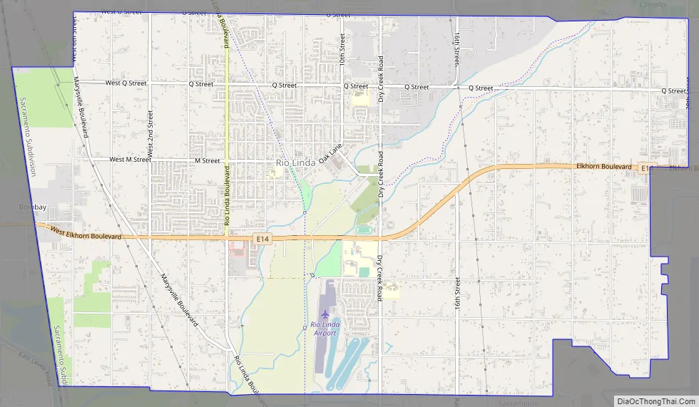
Rio Linda Road Map
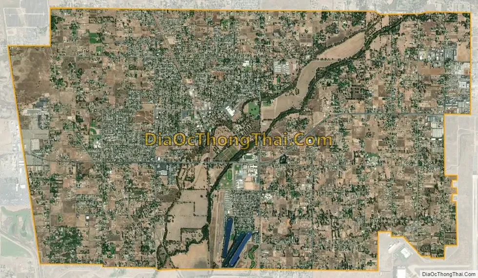
Rio Linda city Satellite Map
Geography
Rio Linda is located at 38°41′25″N 121°27′14″W / 38.69028°N 121.45389°W / 38.69028; -121.45389 (38.690252, -121.453814). According to the United States Census Bureau, the CDP has a total area of 9.9 square miles (26 km) of it land. The soil type of the area consists primarily of hard pan made up of silted clay and fine sands.
See also
Map of California State and its subdivision:- Alameda
- Alpine
- Amador
- Butte
- Calaveras
- Colusa
- Contra Costa
- Del Norte
- El Dorado
- Fresno
- Glenn
- Humboldt
- Imperial
- Inyo
- Kern
- Kings
- Lake
- Lassen
- Los Angeles
- Madera
- Marin
- Mariposa
- Mendocino
- Merced
- Modoc
- Mono
- Monterey
- Napa
- Nevada
- Orange
- Placer
- Plumas
- Riverside
- Sacramento
- San Benito
- San Bernardino
- San Diego
- San Francisco
- San Joaquin
- San Luis Obispo
- San Mateo
- Santa Barbara
- Santa Clara
- Santa Cruz
- Shasta
- Sierra
- Siskiyou
- Solano
- Sonoma
- Stanislaus
- Sutter
- Tehama
- Trinity
- Tulare
- Tuolumne
- Ventura
- Yolo
- Yuba
- Alabama
- Alaska
- Arizona
- Arkansas
- California
- Colorado
- Connecticut
- Delaware
- District of Columbia
- Florida
- Georgia
- Hawaii
- Idaho
- Illinois
- Indiana
- Iowa
- Kansas
- Kentucky
- Louisiana
- Maine
- Maryland
- Massachusetts
- Michigan
- Minnesota
- Mississippi
- Missouri
- Montana
- Nebraska
- Nevada
- New Hampshire
- New Jersey
- New Mexico
- New York
- North Carolina
- North Dakota
- Ohio
- Oklahoma
- Oregon
- Pennsylvania
- Rhode Island
- South Carolina
- South Dakota
- Tennessee
- Texas
- Utah
- Vermont
- Virginia
- Washington
- West Virginia
- Wisconsin
- Wyoming


