Rolling Hills is an unincorporated community and census-designated place (CDP) in Madera County, California, United States, north of Fresno on State Route 41 (Yosemite Freeway). It lies at an elevation of 371 feet (113 m). The population was 793 at the 2020 census.
| Name: | Rolling Hills CDP |
|---|---|
| LSAD Code: | 57 |
| LSAD Description: | CDP (suffix) |
| State: | California |
| County: | Madera County |
| Elevation: | 371 ft (113 m) |
| Total Area: | 0.601 sq mi (1.56 km²) |
| Land Area: | 0.601 sq mi (1.56 km²) |
| Water Area: | 0 sq mi (0 km²) |
| Total Population: | 793 |
| Population Density: | 1,300/sq mi (510/km²) |
| ZIP code: | 93636 (Madera) |
| FIPS code: | 0662625 |
Online Interactive Map
Click on ![]() to view map in "full screen" mode.
to view map in "full screen" mode.
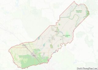
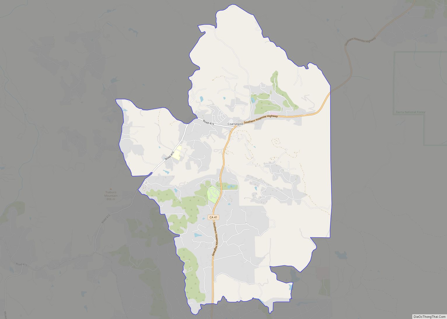
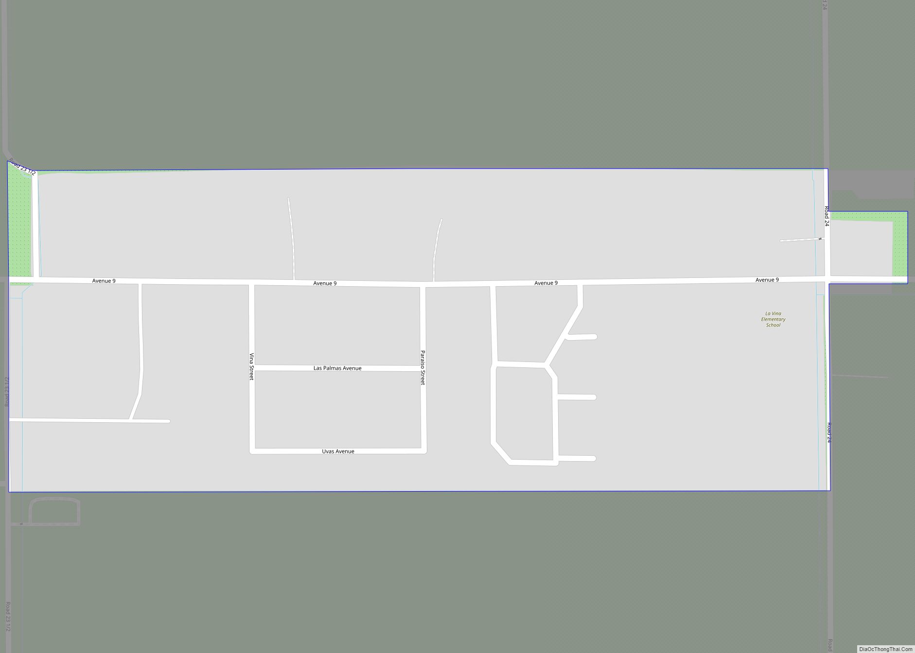
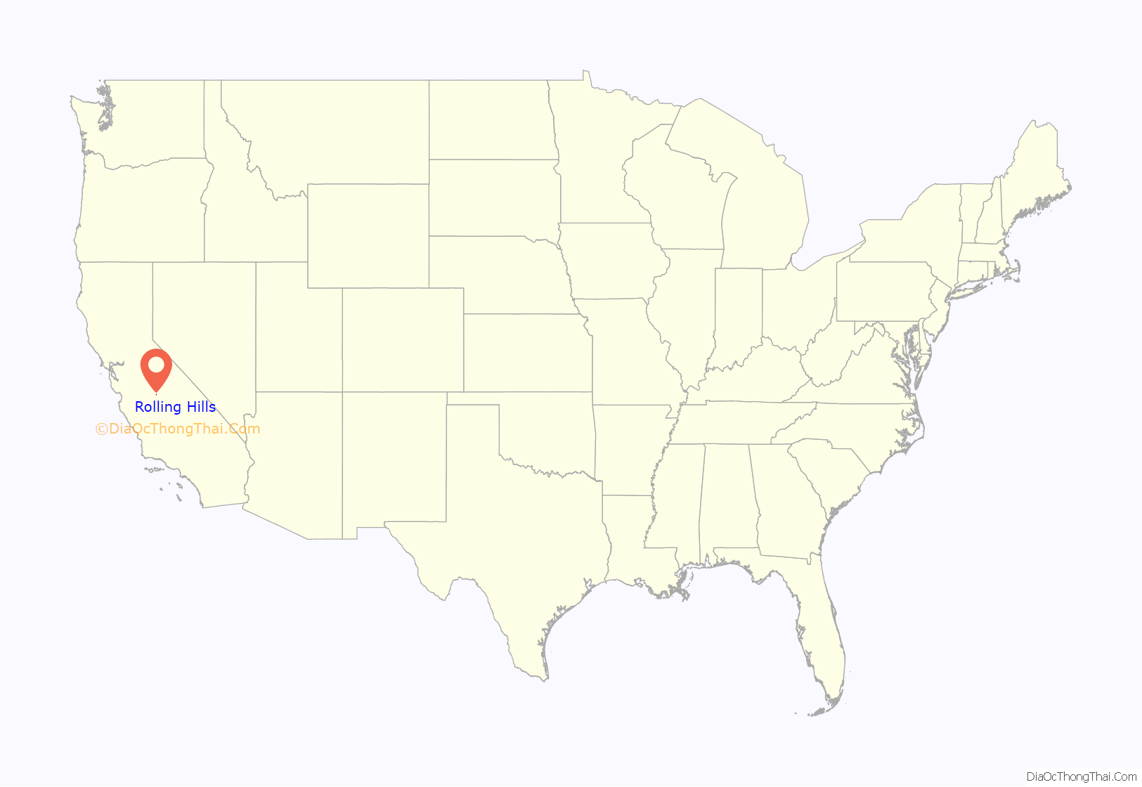
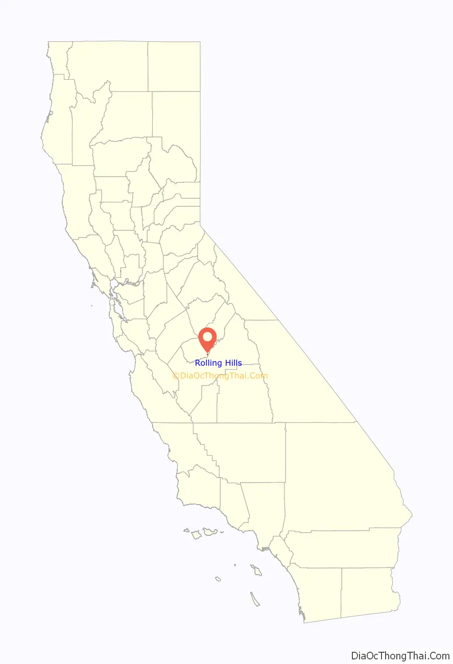
Rolling Hills location map. Where is Rolling Hills CDP?
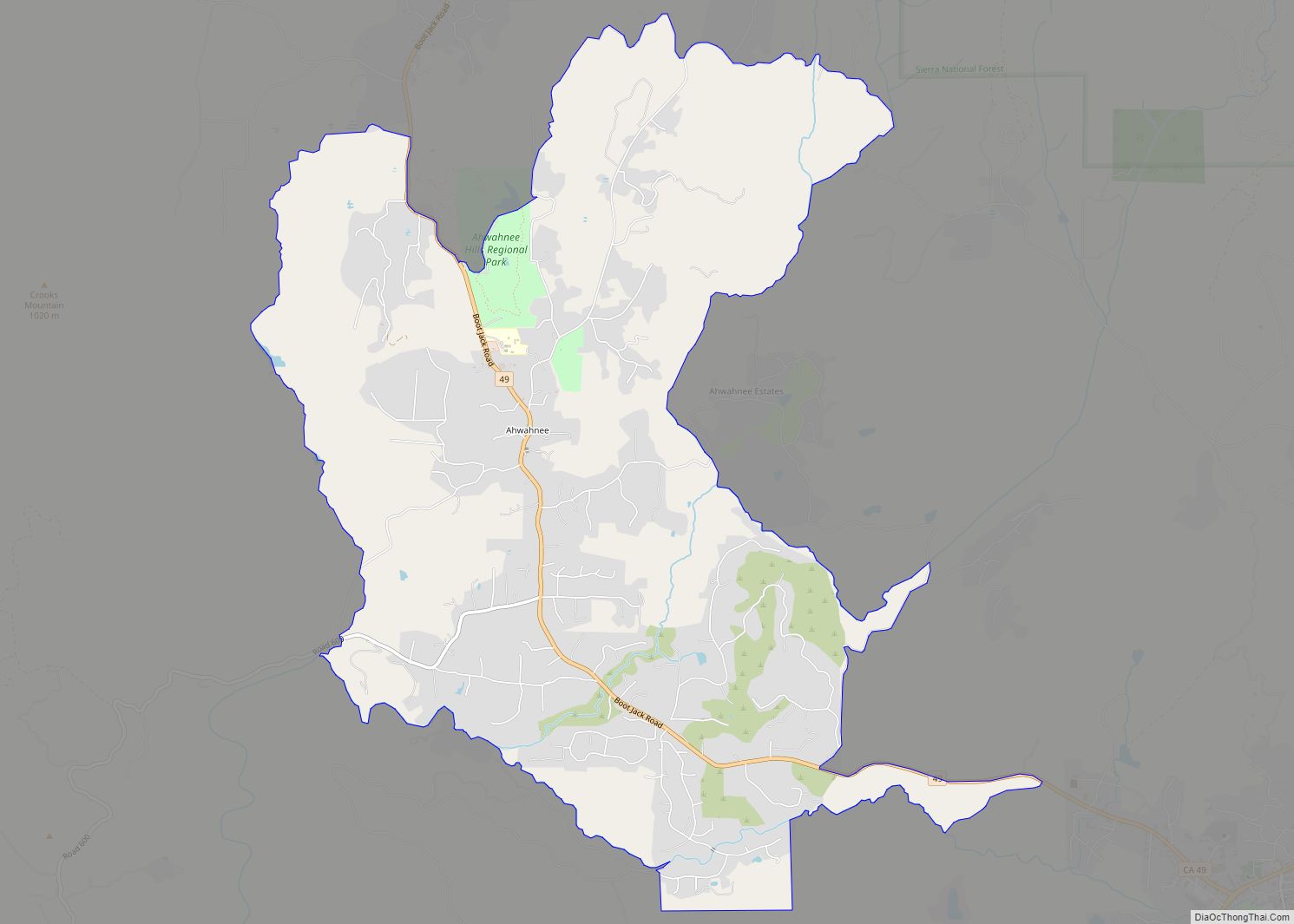
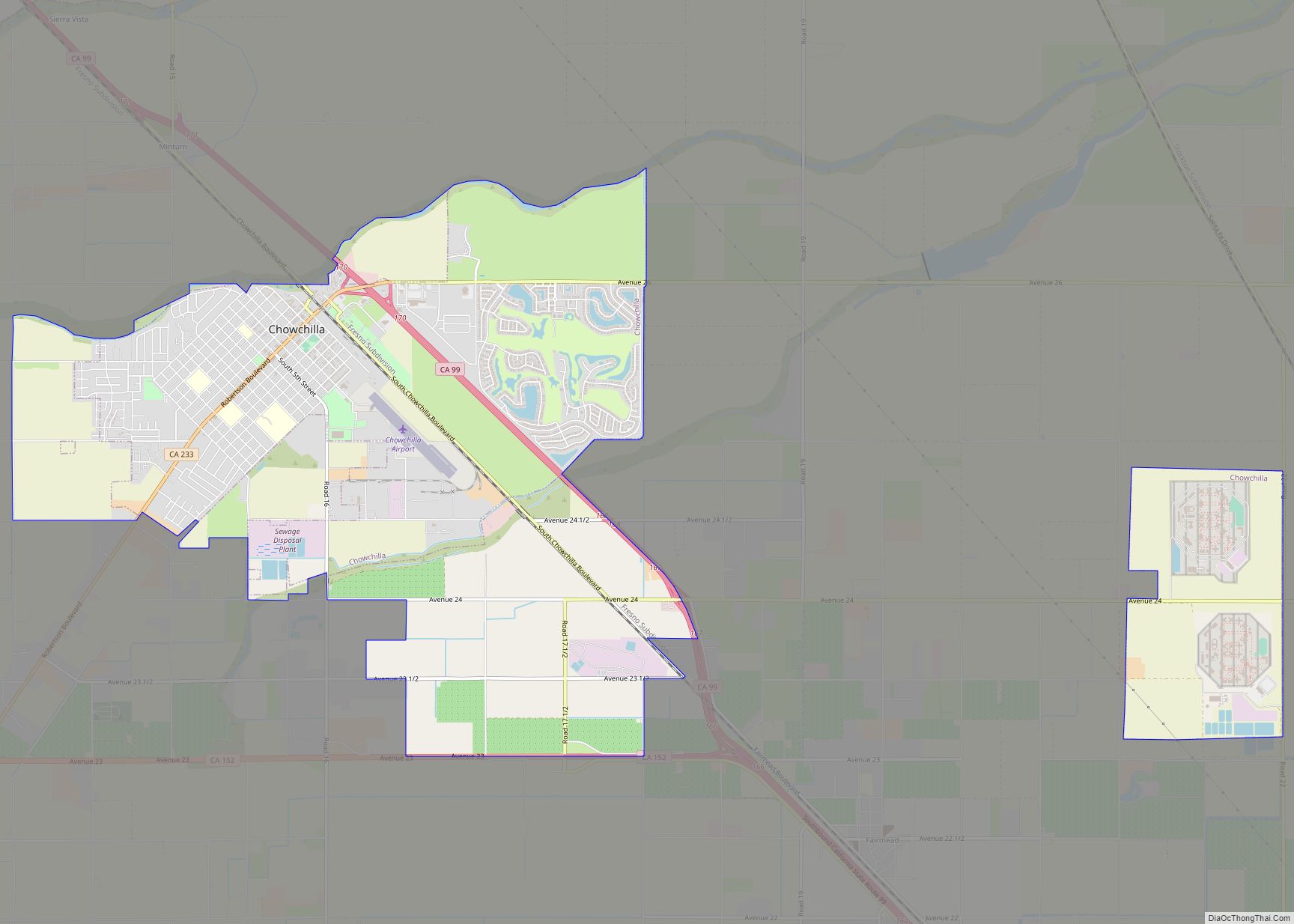
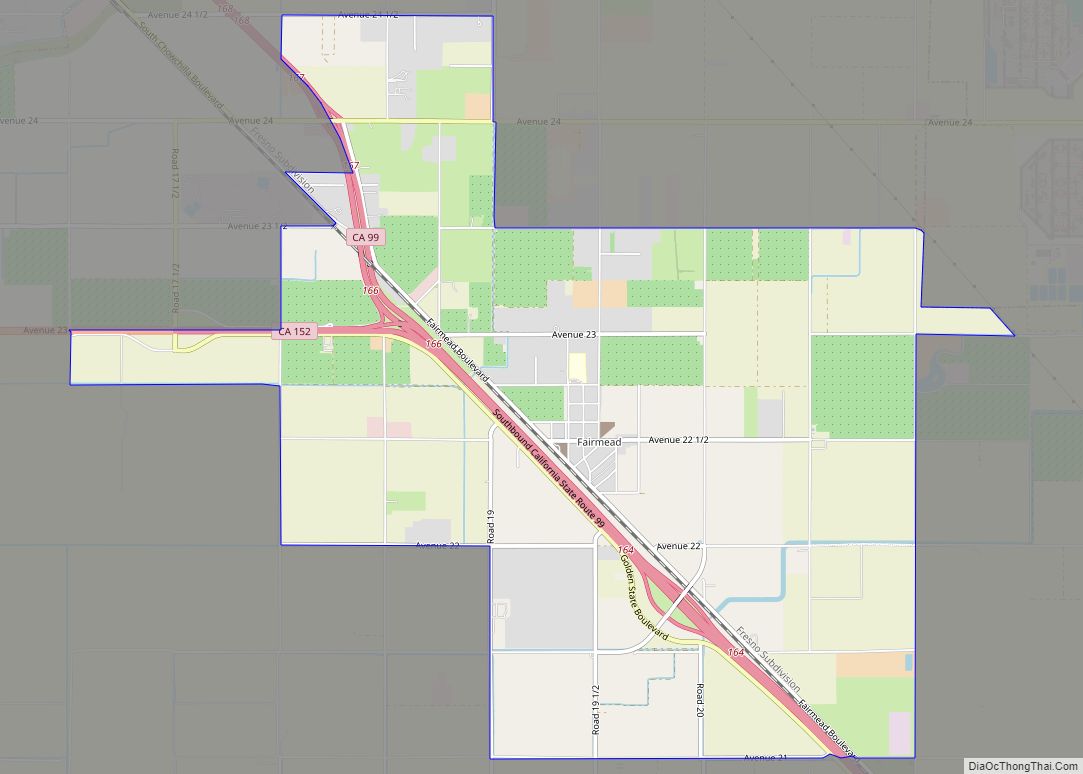
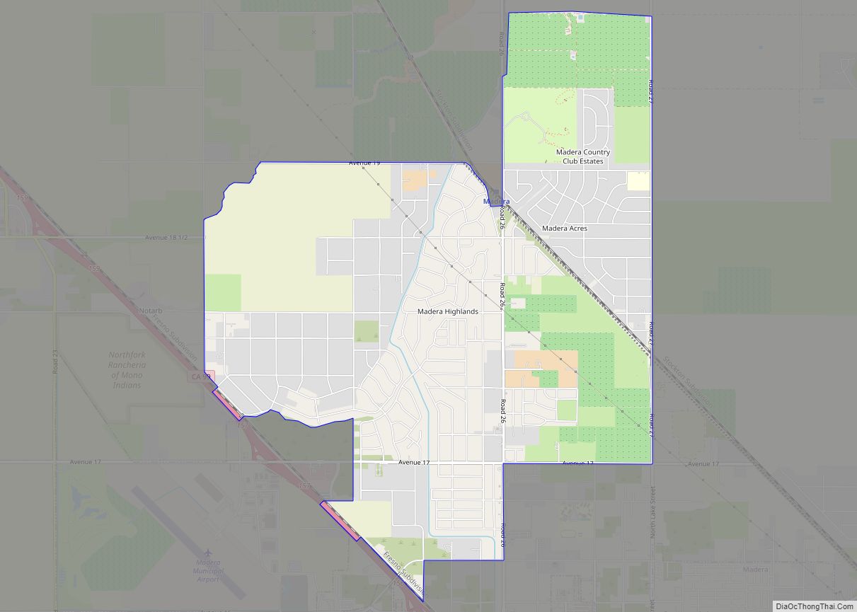
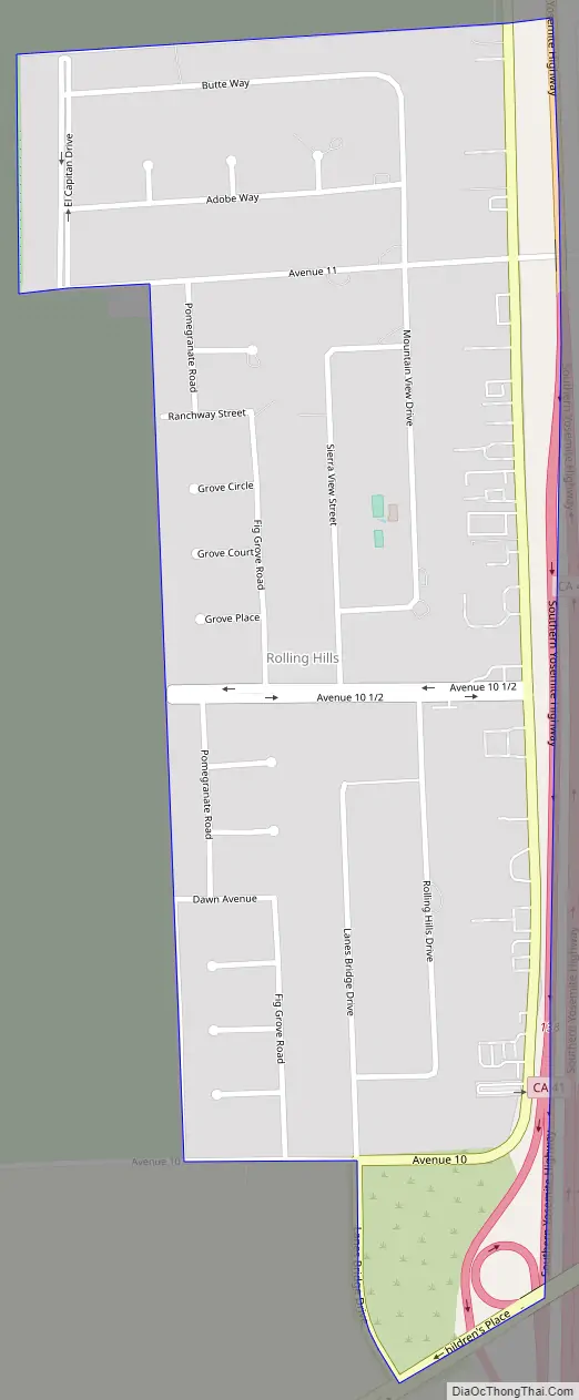
Rolling Hills Road Map
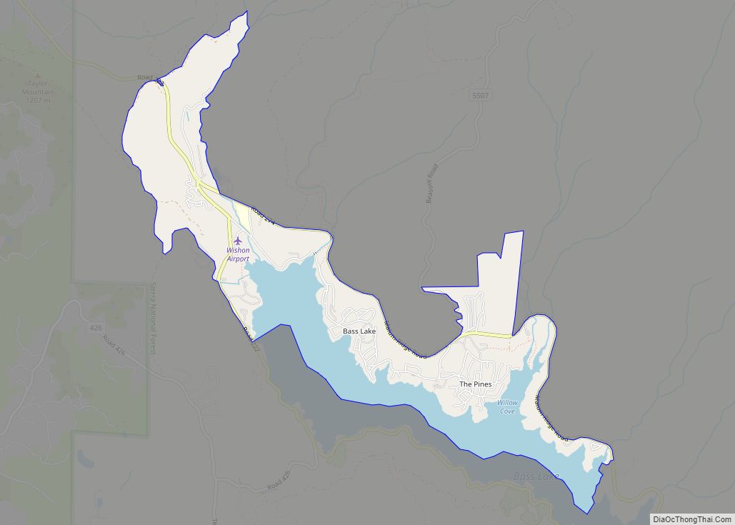
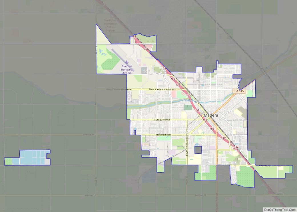
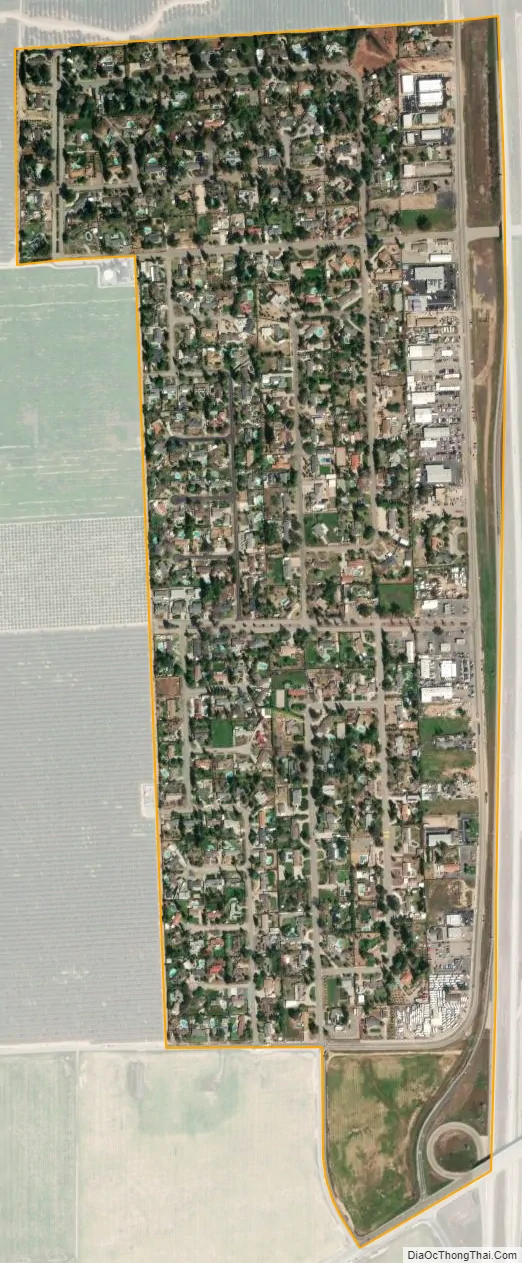
Rolling Hills city Satellite Map
Geography
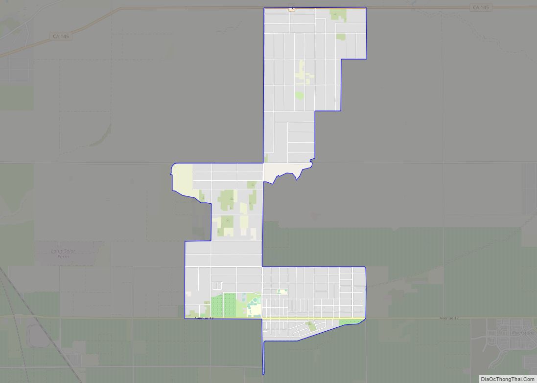
Rolling Hills is located just north of the Madera County–Fresno County line, on the west side of State Route 41, 12 miles (19 km) north of Fresno. The city of Madera is 18 miles (29 km) to the northwest. According to the United States Census Bureau, the Rolling Hills CDP has a total area of 0.6 square miles (1.6 km), all of it land.
See also
Map of California State and its subdivision:- Alameda
- Alpine
- Amador
- Butte
- Calaveras
- Colusa
- Contra Costa
- Del Norte
- El Dorado
- Fresno
- Glenn
- Humboldt
- Imperial
- Inyo
- Kern
- Kings
- Lake
- Lassen
- Los Angeles
- Madera
- Marin
- Mariposa
- Mendocino
- Merced
- Modoc
- Mono
- Monterey
- Napa
- Nevada
- Orange
- Placer
- Plumas
- Riverside
- Sacramento
- San Benito
- San Bernardino
- San Diego
- San Francisco
- San Joaquin
- San Luis Obispo
- San Mateo
- Santa Barbara
- Santa Clara
- Santa Cruz
- Shasta
- Sierra
- Siskiyou
- Solano
- Sonoma
- Stanislaus
- Sutter
- Tehama
- Trinity
- Tulare
- Tuolumne
- Ventura
- Yolo
- Yuba
- Alabama
- Alaska
- Arizona
- Arkansas
- California
- Colorado
- Connecticut
- Delaware
- District of Columbia
- Florida
- Georgia
- Hawaii
- Idaho
- Illinois
- Indiana
- Iowa
- Kansas
- Kentucky
- Louisiana
- Maine
- Maryland
- Massachusetts
- Michigan
- Minnesota
- Mississippi
- Missouri
- Montana
- Nebraska
- Nevada
- New Hampshire
- New Jersey
- New Mexico
- New York
- North Carolina
- North Dakota
- Ohio
- Oklahoma
- Oregon
- Pennsylvania
- Rhode Island
- South Carolina
- South Dakota
- Tennessee
- Texas
- Utah
- Vermont
- Virginia
- Washington
- West Virginia
- Wisconsin
- Wyoming