Romoland is a census-designated place (CDP) in Riverside County, California, United States. The population was 2,005 at the 2020 census, up from 1,684 at the 2010 census.
| Name: | Romoland CDP |
|---|---|
| LSAD Code: | 57 |
| LSAD Description: | CDP (suffix) |
| State: | California |
| County: | Riverside County |
| Elevation: | 1,444 ft (440 m) |
| Total Area: | 2.644 sq mi (6.849 km²) |
| Land Area: | 2.644 sq mi (6.849 km²) |
| Water Area: | 0 sq mi (0 km²) 0% |
| Total Population: | 2,005 |
| Population Density: | 760/sq mi (290/km²) |
| ZIP code: | 92585 |
| Area code: | 951 |
| FIPS code: | 0662756 |
| GNISfeature ID: | 1661327 |
Online Interactive Map
Click on ![]() to view map in "full screen" mode.
to view map in "full screen" mode.
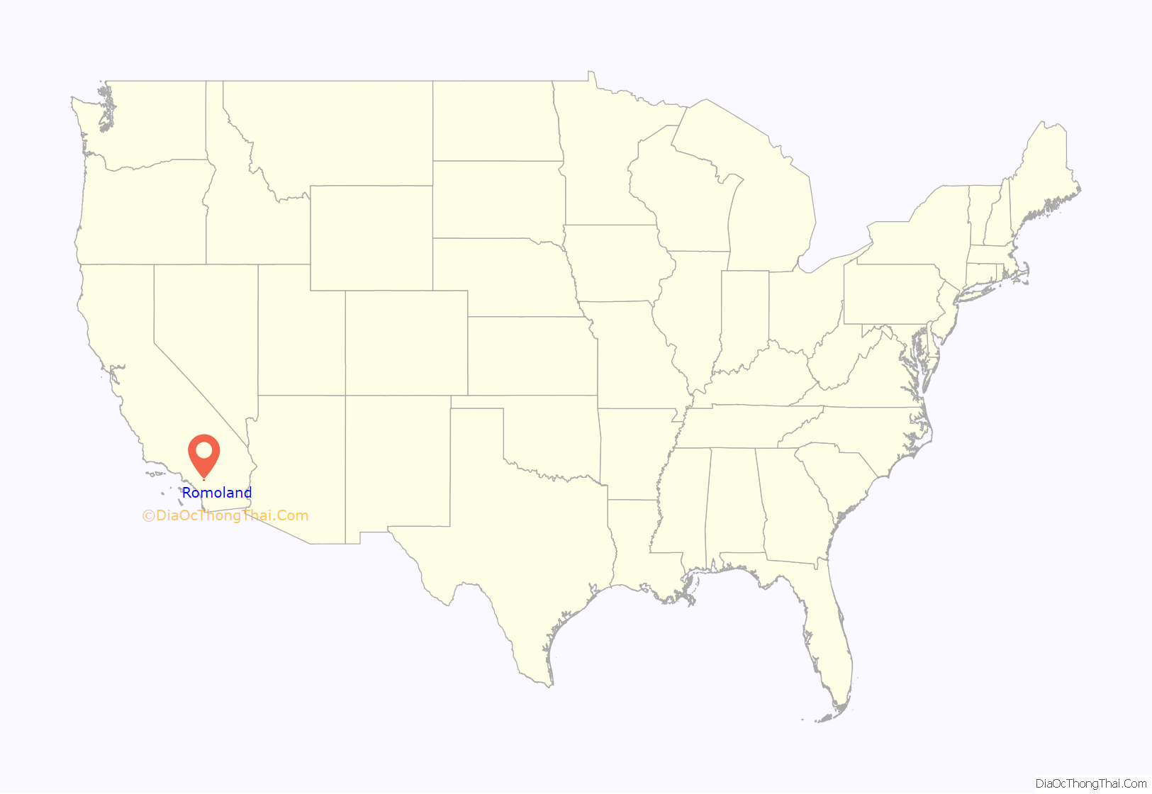
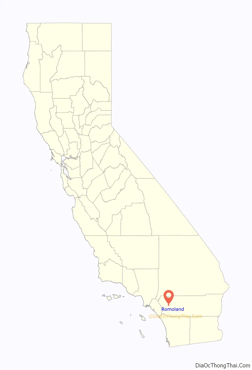
Romoland location map. Where is Romoland CDP?
History
On June 25, 1900, the first Ethanac Post Office was established across Highway 74, named after Ethan Allen Chase (an early settler to the area), with John Gaston serving as the first postmaster. In 1925, the town of Ethanac changed to “Romola Farms”, developed by the Pacific Mutual Life Insurance Company. The developer sold off small ranches of four to five acres for the cultivation of fig trees, and grapes. The project became so popular that the Ethanac post office would be changed to Romola Farms. When the Post Office Department requested the name change, to avoid confusion with San Diego County’s Ramona post office, the name was changed for a final time to Romoland. The origin of the development of the name has never been revealed.
In 1985, Leon E. Motte built the “Motte’s Romola Farms” Barn off Highway 74, designed by architect Robert Morris. After building the barn from all salvaged materials, the Mottes sold produce for 10 years before leasing it out to other food vendors, such as Tom’s Farms and Hamshaw Farms. In 2011, Motte’s Romola Farms reopened as the Motte Historical Museum. The Motte Historical Museum is now a classic car museum and showcases the history of the surrounding valley, as well as documenting the area’s agricultural roots. The “Motte’s Romola Farms” Barn has always been a longtime landmark on Highway 74.
On October 1, 2008, a significant portion of Romoland became part of the then-newly incorporated City of Menifee.
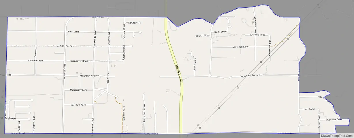
Romoland Road Map
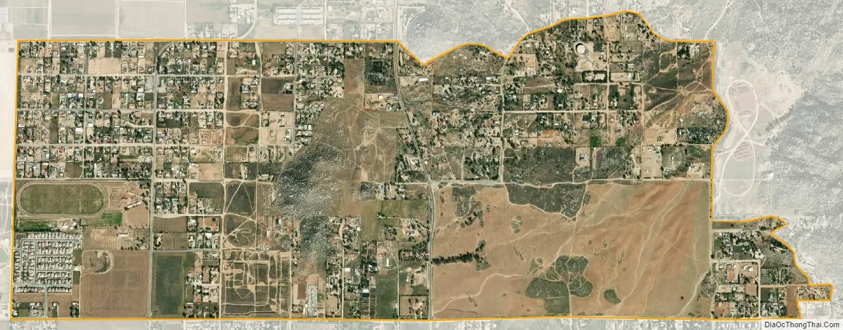
Romoland city Satellite Map
Geography
Romoland is located at 33°44′45″N 117°10′27″W / 33.74583°N 117.17417°W / 33.74583; -117.17417 (33.745783, -117.174228).
According to the United States Census Bureau, the CDP has a total area of 2.6 square miles (6.7 km), all of it land.
As of the 2000 census, according to the United States Census Bureau, the CDP had a total area of 3.0 square miles (7.8 km), all of it land.
However, prior to its incorporation into the city of Menifee, California, the Romoland region was considered to encompass the entire unincorporated area between Perris, Homeland, Nuevo, and Menifee. The total population prior to Menifee’s incorporation in 2008 may have exceeded 100,000 residents in the 30-square-mile (78 km) area. To the east, the school district extended to Green Acres, east of Homeland. Menifee and Nuevo have their own school districts. When Sun City was built, Menifee then included the Sun City area.
According to the Geographic Names Information System, the town previously had the toponyms Ethanac and Ethanac Siding.
See also
Map of California State and its subdivision:- Alameda
- Alpine
- Amador
- Butte
- Calaveras
- Colusa
- Contra Costa
- Del Norte
- El Dorado
- Fresno
- Glenn
- Humboldt
- Imperial
- Inyo
- Kern
- Kings
- Lake
- Lassen
- Los Angeles
- Madera
- Marin
- Mariposa
- Mendocino
- Merced
- Modoc
- Mono
- Monterey
- Napa
- Nevada
- Orange
- Placer
- Plumas
- Riverside
- Sacramento
- San Benito
- San Bernardino
- San Diego
- San Francisco
- San Joaquin
- San Luis Obispo
- San Mateo
- Santa Barbara
- Santa Clara
- Santa Cruz
- Shasta
- Sierra
- Siskiyou
- Solano
- Sonoma
- Stanislaus
- Sutter
- Tehama
- Trinity
- Tulare
- Tuolumne
- Ventura
- Yolo
- Yuba
- Alabama
- Alaska
- Arizona
- Arkansas
- California
- Colorado
- Connecticut
- Delaware
- District of Columbia
- Florida
- Georgia
- Hawaii
- Idaho
- Illinois
- Indiana
- Iowa
- Kansas
- Kentucky
- Louisiana
- Maine
- Maryland
- Massachusetts
- Michigan
- Minnesota
- Mississippi
- Missouri
- Montana
- Nebraska
- Nevada
- New Hampshire
- New Jersey
- New Mexico
- New York
- North Carolina
- North Dakota
- Ohio
- Oklahoma
- Oregon
- Pennsylvania
- Rhode Island
- South Carolina
- South Dakota
- Tennessee
- Texas
- Utah
- Vermont
- Virginia
- Washington
- West Virginia
- Wisconsin
- Wyoming


