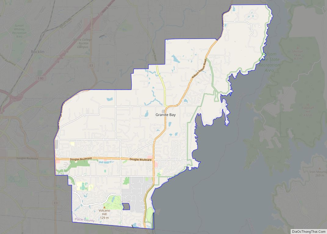
Rocklin is a city in Placer County, California, about 22 miles (35 km) from Sacramento, and about 6.1 miles (9.8 km) northeast of Roseville in the Sacramento metropolitan area. Besides Roseville, it shares borders with Granite Bay, Loomis and Lincoln. As of the 2010 census, Rocklin’s population was 56,974. The California Department of Finance placed the 2019 population at 68,823.
| Name: | Rocklin city |
|---|---|
| LSAD Code: | 25 |
| LSAD Description: | city (suffix) |
| State: | California |
| County: | Placer County |
| Incorporated: | February 24, 1893 |
| Elevation: | 249 ft (76 m) |
| Total Area: | 19.83 sq mi (51.37 km²) |
| Land Area: | 19.81 sq mi (51.31 km²) |
| Water Area: | 0.02 sq mi (0.06 km²) |
| Total Population: | 56,974 |
| Population Density: | 3,474.15/sq mi (1,341.38/km²) |
| ZIP code: | 95677, 95765 |
| Area code: | 916, 279 |
| FIPS code: | 0662364 |
| GNISfeature ID: | 0277586 |
| Website: | www.rocklin.ca.us |
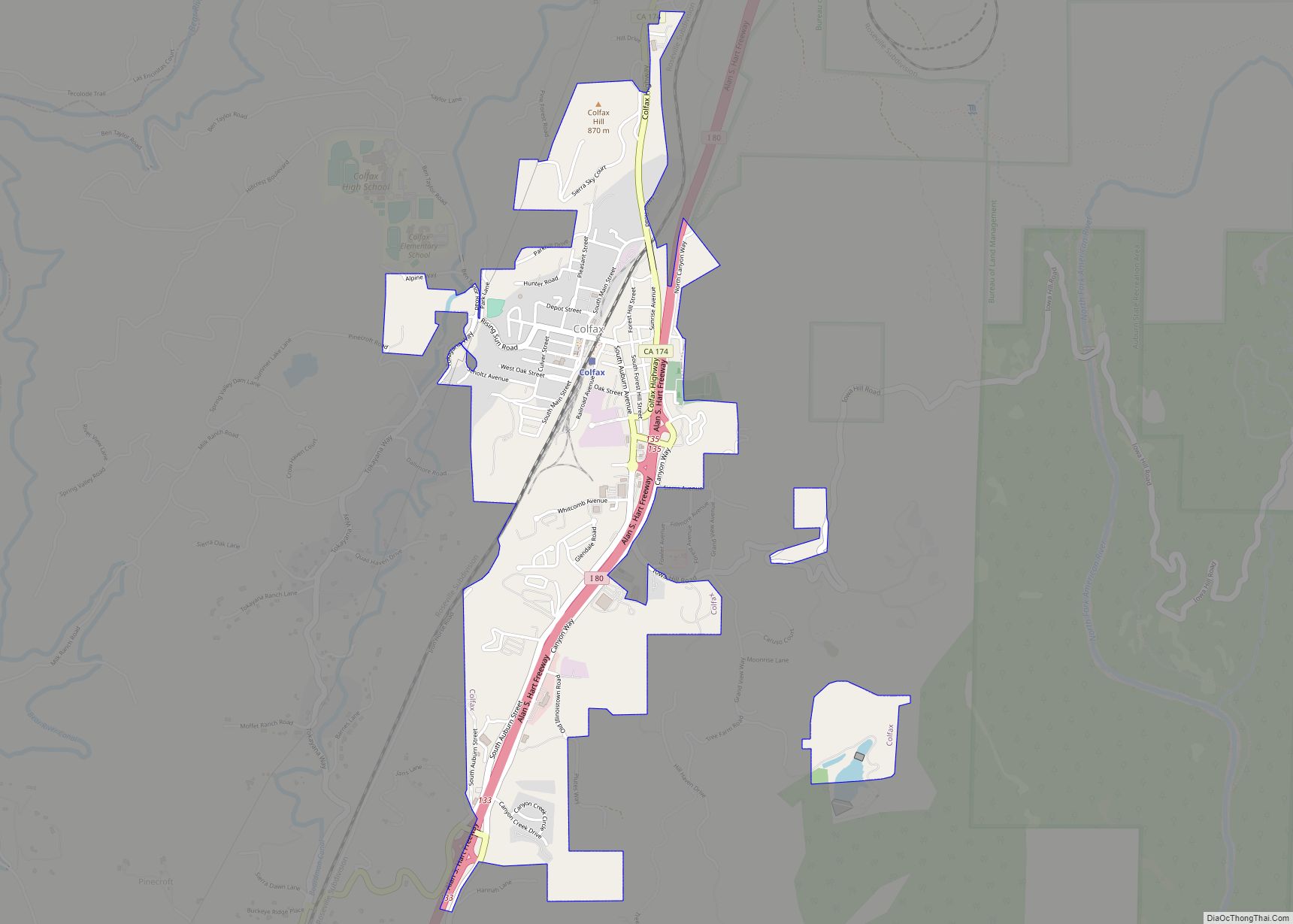
Online Interactive Map
Click on ![]() to view map in "full screen" mode.
to view map in "full screen" mode.
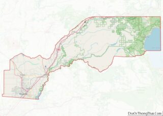
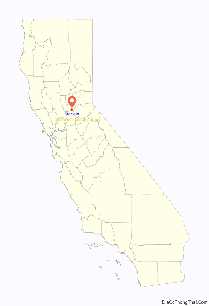
Rocklin location map. Where is Rocklin city?

History
Before the California Gold Rush, the Nisenan Maidu occupied both permanent villages and temporary summer shelters along the rivers and streams that miners sifted, sluiced, dredged and dammed to remove the gold. Explorer Jedediah Smith and a large party of American fur trappers crossed the Sacramento Valley in April 1827. The group saw many Maidu villages along the river banks. Deprived of traditional foodstuffs, homesites and hunting grounds by the emigrants, the Nisenan were among the earliest California Indian tribes to disappear.
During the 1850s, miners sluiced streams and rivers, including Secret Ravine, which runs through Rocklin. The piles of dredger tailings are still obvious today, between Roseville and Loomis southeast of Interstate 80. Secret Ravine, at the area now at the intersection of Ruhkala Road and Pacific Street, was later mined for granite, some of which was used as the base course of the California Capitol Building; the earliest recorded use of the rock was for Fort Mason at San Francisco in 1855. The granite was hauled out by oxcarts before the arrival of the railroad many years later.
In 1860, the U.S. Census counted 440 residents in the area of Secret Ravine, of whom about 16% had been born in Ireland and the majority of whom worked as miners. The area was referred to as Secret Ravine or the “granite quarries at the end of the tracks” as late as 1864.
Rocklin’s history is closely tied to the transcontinental railroad. In 1862, the Pacific Railroad Act granted the Central Pacific Railroad land near Secret Ravine. In 1864, the Central Pacific Railroad completed an extension of its track southwest from Newcastle to Secret Ravine. It named the area Rocklin after its granite quarry and used the site as a refueling and water stop. The Central Pacific built a roundhouse in 1867. The transcontinental railroad was completed in 1869, significantly increasing railroad traffic through the town. According to the 1870 census, Rocklin had grown to 542 residents, and the majority of Irish immigrants had forgone mining and were working for the railroad. In 1908, the Central Pacific moved its facility from Rocklin to Roseville, where more land was available for expansion. The Roseville site has remained in continuous use since. As of August 2014, it is the largest rail facility near the U.S. West Coast.
In 1869, a group of laid-off Chinese railroad workers moved to Secret Ravine to mine and raise vegetables which they sold locally. The Chinese community was violently driven out in September 1876 after a group of Chinese was falsely accused of murdering three people near Rocklin. The area was still known as China Gardens as of 1974.
The Rocklin post office opened in 1868. Finnish immigrants settled in Rocklin starting in the 1870s, and Spanish settlers arriving by way of Hawaii settled in Rocklin in the early 20th century. The town incorporated in 1893.
Rocklin Road Map

Rocklin city Satellite Map

Geography
According to the United States Census Bureau, the city has an area of 19.6 square miles (51 km), of which 0.05 square miles (0.13 km), or 0.27%, is water.
Climate
Rocklin has a hot-summer Mediterranean climate (Köppen Csa), characterized by cool, wet winters and hot, dry summers. Summers are hot, with an average July high of 94 °F (34 °C), and mostly rainless. Winters are cool, with a December average of 47 °F (8 °C), and see plenty of rain. Rocklin very rarely sees any snow accumulation. The degree of diurnal temperature variation varies greatly depending on time of year. It ranges from only 14 °F in January to 33 °F in July.
See also
Map of California State and its subdivision:- Alameda
- Alpine
- Amador
- Butte
- Calaveras
- Colusa
- Contra Costa
- Del Norte
- El Dorado
- Fresno
- Glenn
- Humboldt
- Imperial
- Inyo
- Kern
- Kings
- Lake
- Lassen
- Los Angeles
- Madera
- Marin
- Mariposa
- Mendocino
- Merced
- Modoc
- Mono
- Monterey
- Napa
- Nevada
- Orange
- Placer
- Plumas
- Riverside
- Sacramento
- San Benito
- San Bernardino
- San Diego
- San Francisco
- San Joaquin
- San Luis Obispo
- San Mateo
- Santa Barbara
- Santa Clara
- Santa Cruz
- Shasta
- Sierra
- Siskiyou
- Solano
- Sonoma
- Stanislaus
- Sutter
- Tehama
- Trinity
- Tulare
- Tuolumne
- Ventura
- Yolo
- Yuba
- Alabama
- Alaska
- Arizona
- Arkansas
- California
- Colorado
- Connecticut
- Delaware
- District of Columbia
- Florida
- Georgia
- Hawaii
- Idaho
- Illinois
- Indiana
- Iowa
- Kansas
- Kentucky
- Louisiana
- Maine
- Maryland
- Massachusetts
- Michigan
- Minnesota
- Mississippi
- Missouri
- Montana
- Nebraska
- Nevada
- New Hampshire
- New Jersey
- New Mexico
- New York
- North Carolina
- North Dakota
- Ohio
- Oklahoma
- Oregon
- Pennsylvania
- Rhode Island
- South Carolina
- South Dakota
- Tennessee
- Texas
- Utah
- Vermont
- Virginia
- Washington
- West Virginia
- Wisconsin
- Wyoming