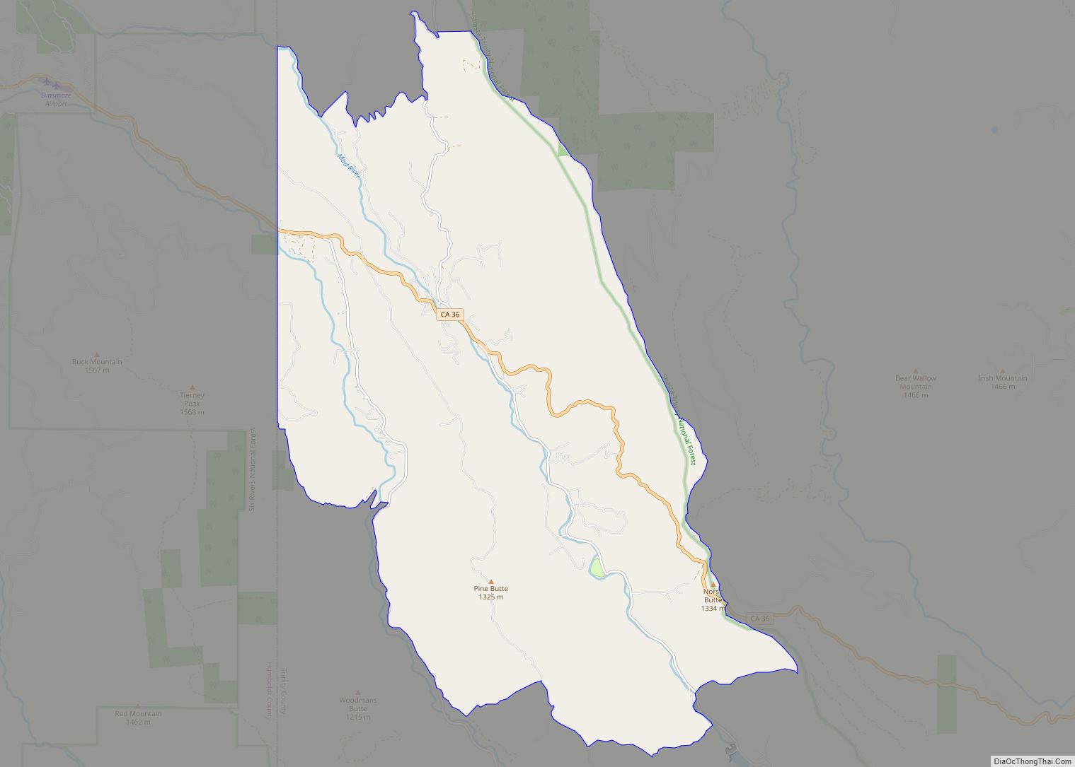
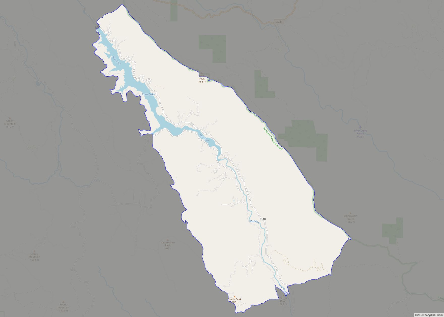
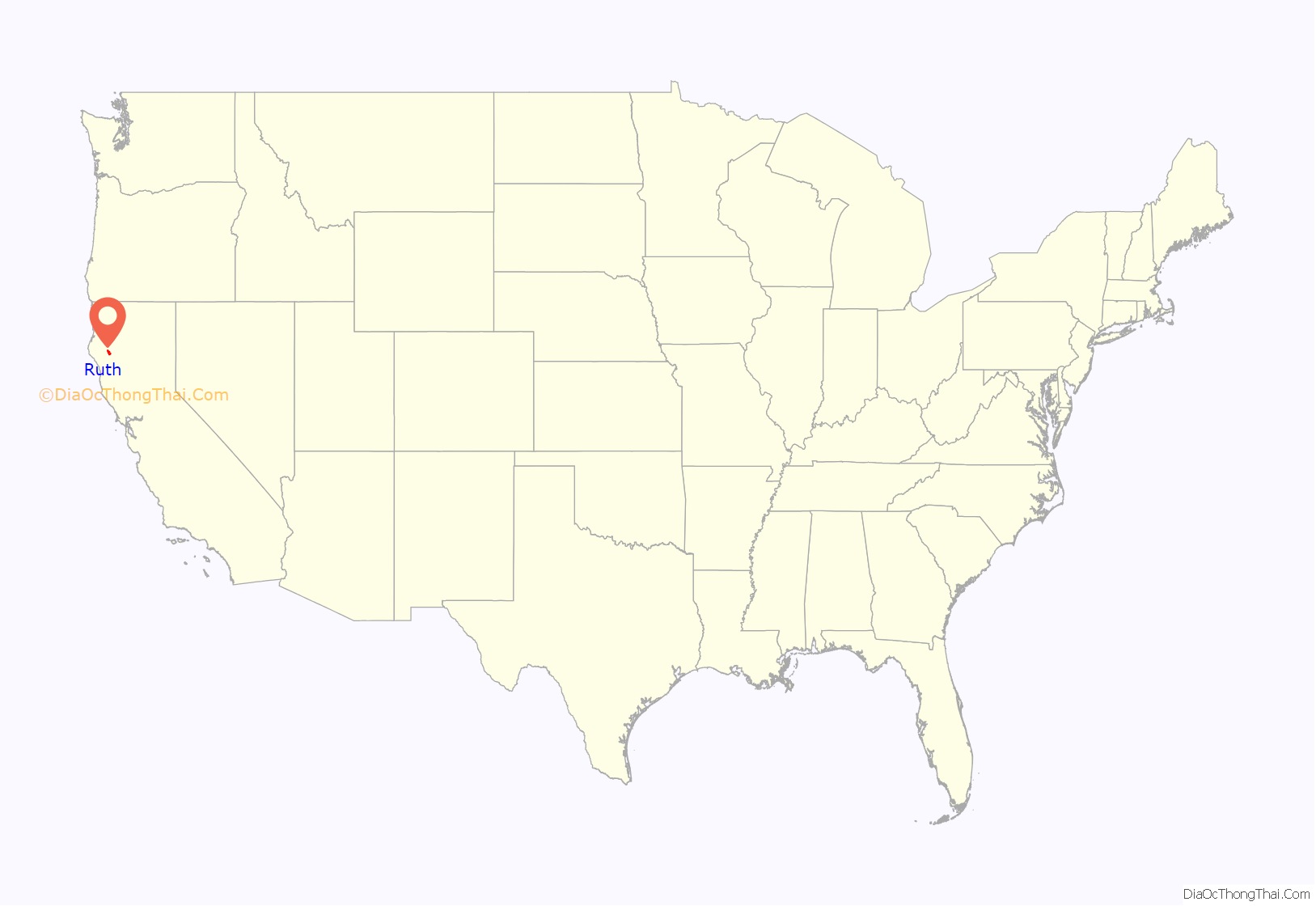
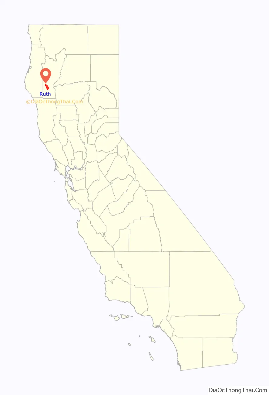
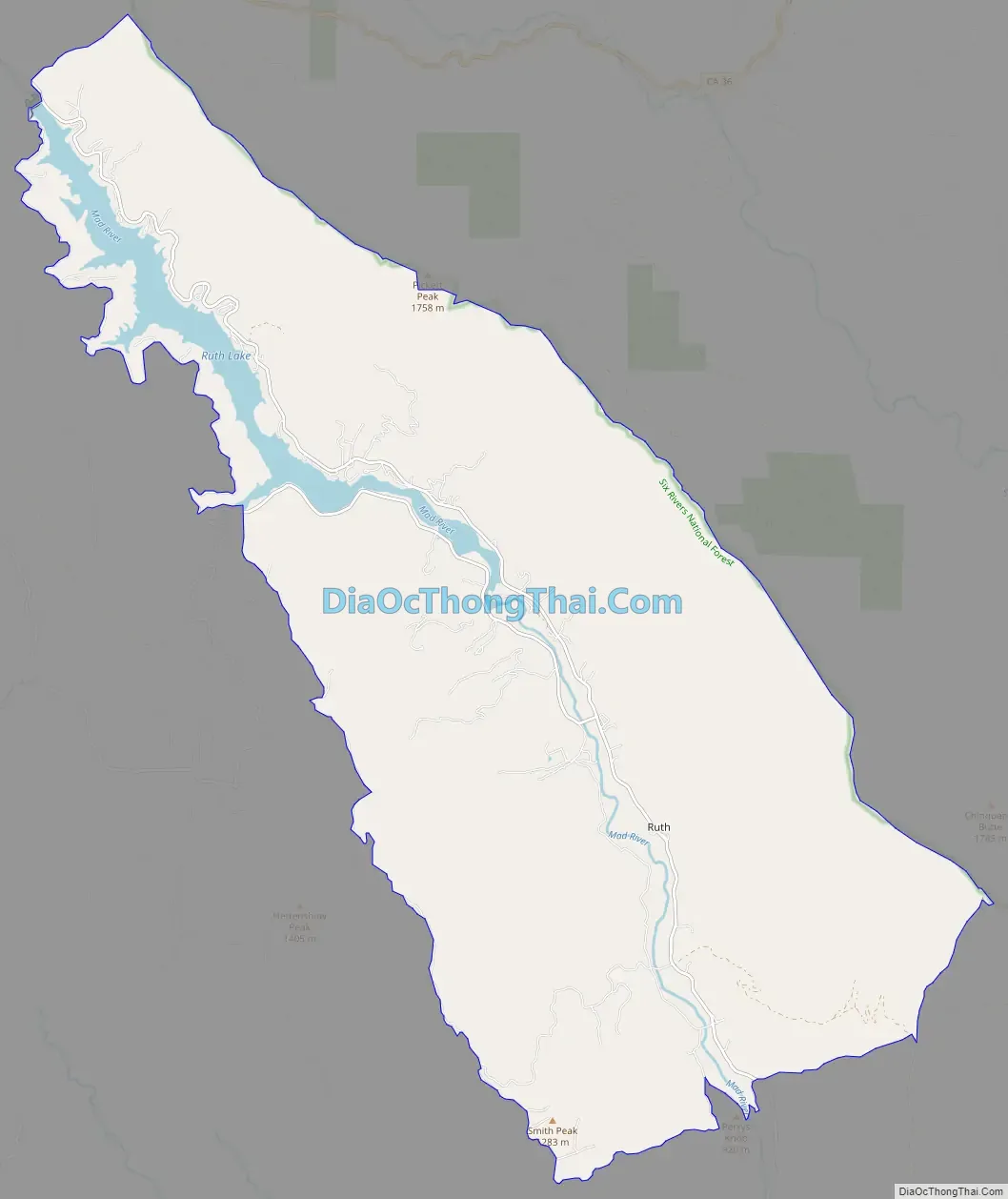
Ruth is a census-designated place (CDP) in Trinity County, California. Ruth is located in the southern portion of the county. The community – and adjacent Ruth Lake – was named after Ruth McKnight, daughter of settlers. The ZIP code is 95526. The community is inside area code 707. It is located near the headwaters of the Mad River (California) and adjacent to the Yolla Bolly-Middle Eel Wilderness. Ruth sits at an elevation of 2,933 feet (894 m). Its population is 254 as of the 2020 census, up from 195 from the 2010 census.
| Name: | Ruth CDP |
|---|---|
| LSAD Code: | 57 |
| LSAD Description: | CDP (suffix) |
| State: | California |
| County: | Trinity County |
| Elevation: | 2,933 ft (894 m) |
| Total Area: | 40.520 sq mi (104.948 km²) |
| Land Area: | 38.842 sq mi (100.600 km²) |
| Water Area: | 1.678 sq mi (4.347 km²) 4.14% |
| Total Population: | 254 |
| Population Density: | 6.3/sq mi (2.4/km²) |
| ZIP code: | 95526 |
| Area code: | 707 |
| FIPS code: | 0663386 |
| GNISfeature ID: | 2628787 |
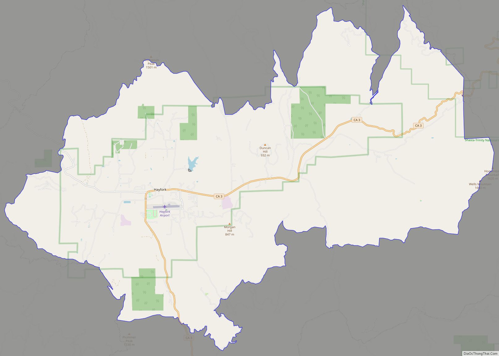
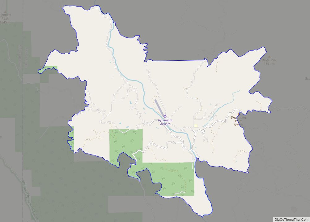
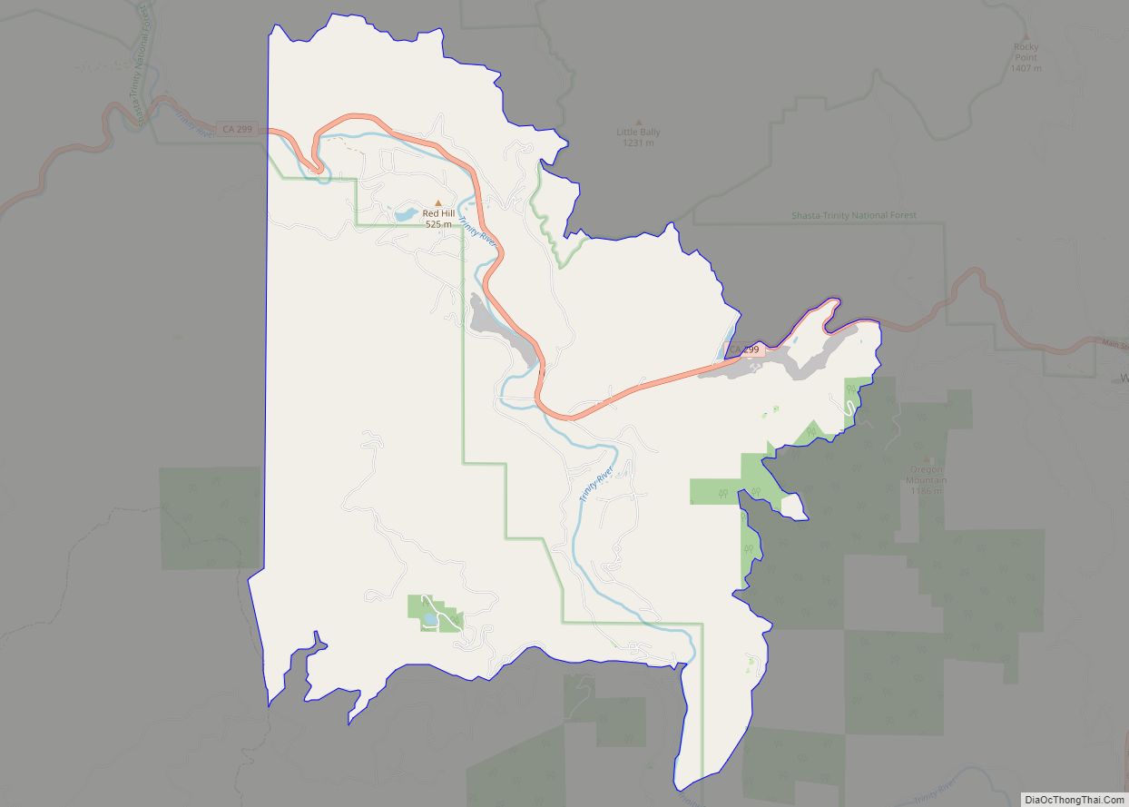
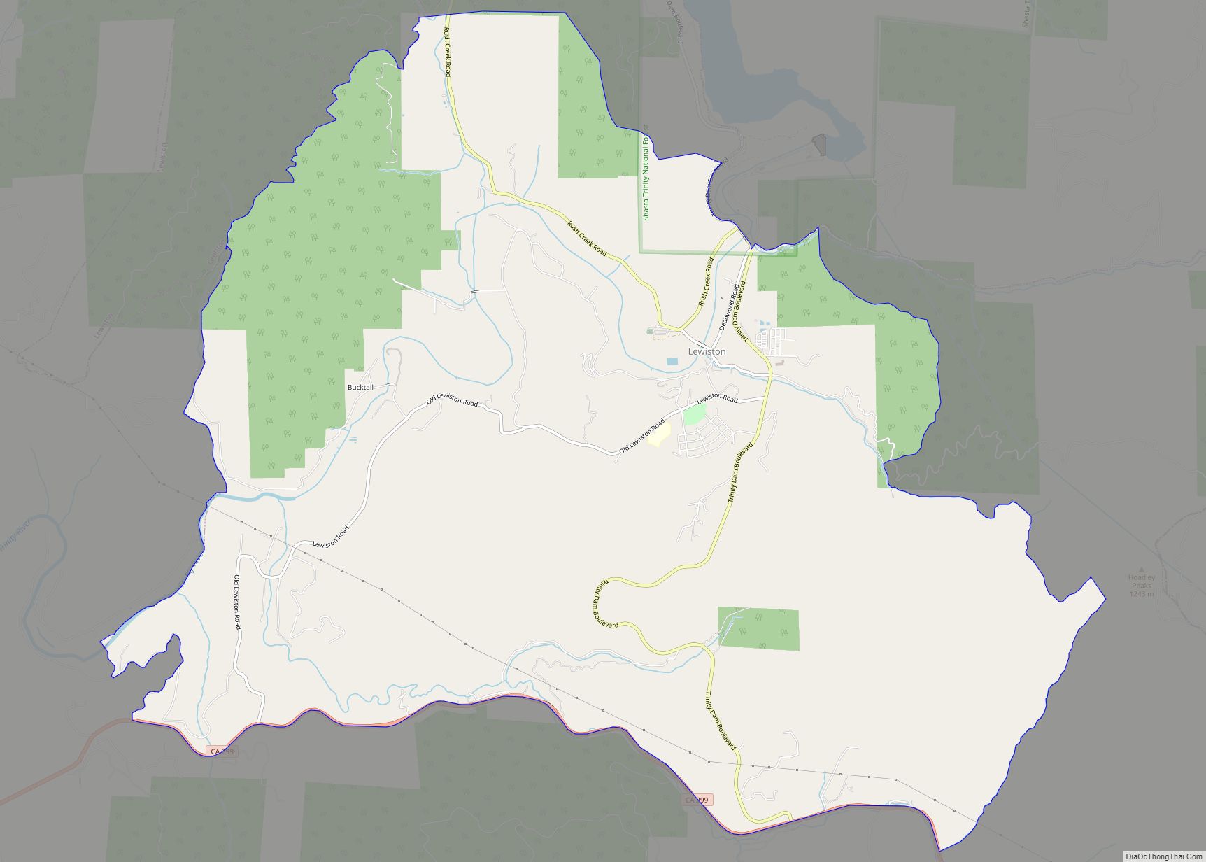
Online Interactive Map
Click on ![]() to view map in "full screen" mode.
to view map in "full screen" mode.
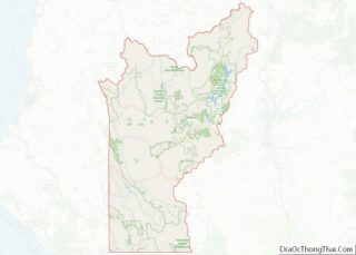
Ruth location map. Where is Ruth CDP?
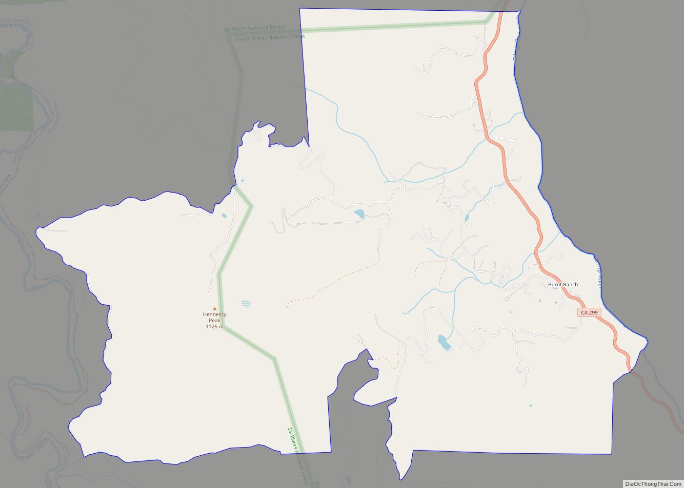
Ruth Road Map
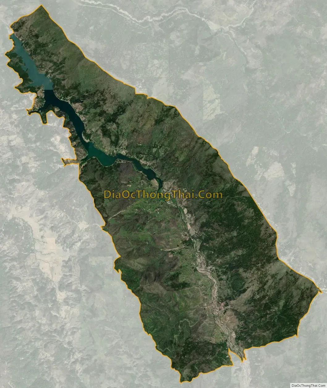
Ruth city Satellite Map
Geography
According to the United States Census Bureau, the CDP covers an area of 40.5 square miles (104.9 km), 38.8 square miles (100.6 km) of it is land and 1.7 square miles (4.3 km) of it (4.14%) is water.
See also
Map of California State and its subdivision:- Alameda
- Alpine
- Amador
- Butte
- Calaveras
- Colusa
- Contra Costa
- Del Norte
- El Dorado
- Fresno
- Glenn
- Humboldt
- Imperial
- Inyo
- Kern
- Kings
- Lake
- Lassen
- Los Angeles
- Madera
- Marin
- Mariposa
- Mendocino
- Merced
- Modoc
- Mono
- Monterey
- Napa
- Nevada
- Orange
- Placer
- Plumas
- Riverside
- Sacramento
- San Benito
- San Bernardino
- San Diego
- San Francisco
- San Joaquin
- San Luis Obispo
- San Mateo
- Santa Barbara
- Santa Clara
- Santa Cruz
- Shasta
- Sierra
- Siskiyou
- Solano
- Sonoma
- Stanislaus
- Sutter
- Tehama
- Trinity
- Tulare
- Tuolumne
- Ventura
- Yolo
- Yuba
- Alabama
- Alaska
- Arizona
- Arkansas
- California
- Colorado
- Connecticut
- Delaware
- District of Columbia
- Florida
- Georgia
- Hawaii
- Idaho
- Illinois
- Indiana
- Iowa
- Kansas
- Kentucky
- Louisiana
- Maine
- Maryland
- Massachusetts
- Michigan
- Minnesota
- Mississippi
- Missouri
- Montana
- Nebraska
- Nevada
- New Hampshire
- New Jersey
- New Mexico
- New York
- North Carolina
- North Dakota
- Ohio
- Oklahoma
- Oregon
- Pennsylvania
- Rhode Island
- South Carolina
- South Dakota
- Tennessee
- Texas
- Utah
- Vermont
- Virginia
- Washington
- West Virginia
- Wisconsin
- Wyoming