Salton City is a census-designated place (CDP) in Imperial County, California. It is the largest Imperial County development on the Salton Sea coast. It is part of the El Centro, California Metropolitan Statistical Area. The population was 3,763 at the 2010 census, up from 978 in 2000. The reported population for 2020 was 5,155.
Although planned and developed as a large resort community with an extensive road, water, sewer and power grid capable of supporting 40,000 residents on 12,000 residential lots, demand for property in Salton City fell drastically short of the planners’ expectations. According to the 2010 census, 81% of the surveyed lots in Salton City remain undeveloped, and 38% of the habitable residences in Salton City are unoccupied. Despite Salton City’s higher population compared to nearby Salton Sea communities such as Bombay Beach and Desert Shores, the eerie, mostly-abandoned appearance of the area has led some to call it a modern ghost town.
| Name: | Salton City CDP |
|---|---|
| LSAD Code: | 57 |
| LSAD Description: | CDP (suffix) |
| State: | California |
| County: | Imperial County |
| Elevation: | −125 ft (−38 m) |
| Total Area: | 21.431 sq mi (55.506 km²) |
| Land Area: | 21.431 sq mi (55.506 km²) |
| Water Area: | 0 sq mi (0 km²) 0% |
| Total Population: | 5,155 |
| Population Density: | 240/sq mi (93/km²) |
| ZIP code: | 92275 |
| Area code: | 442/760 |
| FIPS code: | 0664294 |
Online Interactive Map
Click on ![]() to view map in "full screen" mode.
to view map in "full screen" mode.
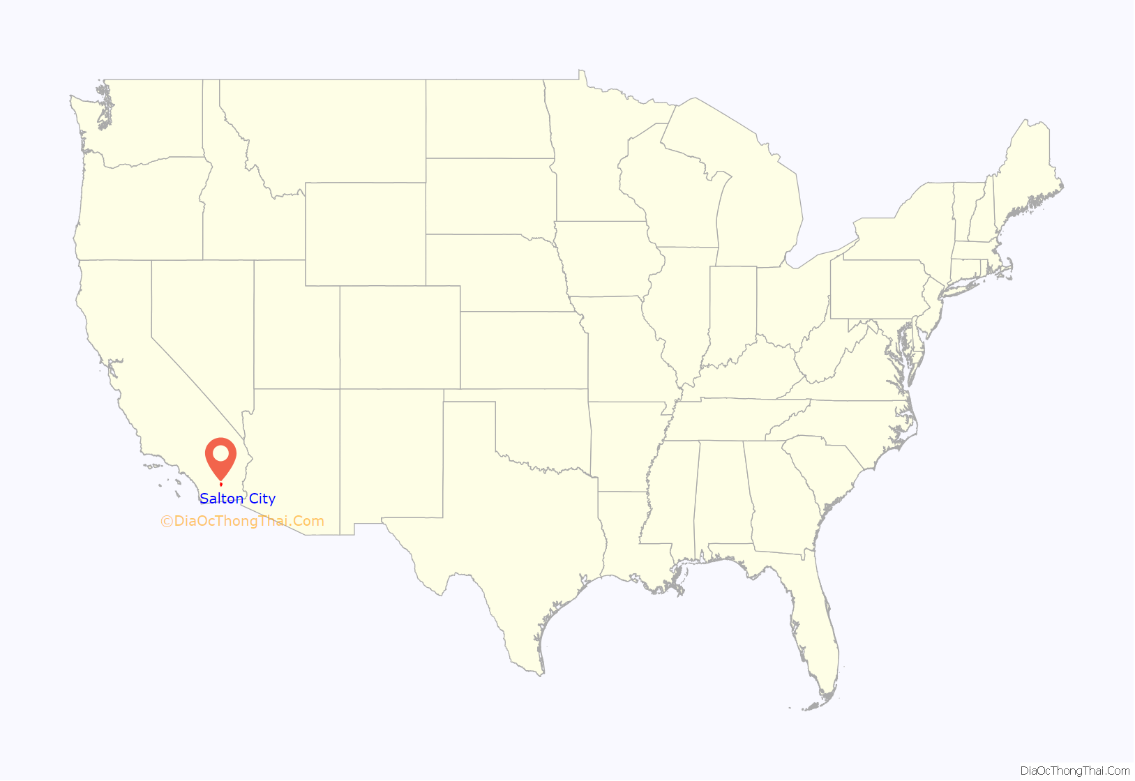
Salton City location map. Where is Salton City CDP?
History
Salton City was developed in the 1960s and established in 1958 primarily by M. Penn Phillips and the Holly Corporation, the Texas-based oil refiner and land developer. It was intended to be a resort community on the Salton Sea, a saline, endorheic rift lake located directly on the San Andreas Fault, yet by 1965 limited development was achieved due to its isolation and lack of local employment opportunities and the downfall of the town began.
In the 1970s, most of the buildings constructed along the shoreline, including the city’s marina were abandoned due to rising sea elevation. In the 1980s, the Imperial Irrigation District took proactive water conservation measures to reduce the flow of unused canal water into the Salton Sea. Throughout the 1980s and 1990s, as salinity and suspected pollution levels in the Salton Sea increased, the attraction of the Salton Sea as a recreational destination diminished. Most of the original tourist related structures fell during this time, including the Truckhaven Cafe, the Salton Bay Yacht Club hotel and restaurant, and the Holly House motel and restaurant (later renamed Desser House and then the Sundowner).
In the 2000s, development in Salton City began to rise as a result of the escalating California housing market. Cheap land and housing costs, improvements to Highway 86, and a casino opened by Torres-Martinez Desert Cahuilla Indians attracted new residents.
Salton City Road Map
Salton City city Satellite Map
Geography
According to the United States Census Bureau, the CDP has a total area of 21.1 square miles (55 km), all land. This area makes Salton City the largest city or town in terms of land area in the Imperial Valley.
Salton City is located on relatively flat ground. Several washes flow from the mountains to the west creating small gorges where any flowing run-off will drain into the Salton Sea. The vegetation consists of mostly sparse desert shrubs; however, in developed areas a variety of palm trees as well as other deciduous trees survive. Salton City is positioned between the eastern slope of the Peninsular Ranges and the western coast of the Salton Sea.
Earthquakes are an extremely common occurrence around the Salton Sea, and in Salton City, due to dozens of fractured fault lines that run through Imperial County. Salton City is also mere miles from major, destructive fault lines, such as the Imperial Fault, the San Andreas Fault, and the San Jacinto Fault. The Superstition Faults also pose a major risk to the area, as well as the Brawley Seismic Zone, which produces frequent yet mostly non-damaging earthquake swarms. At certain times, this area can experience dozens of felt earthquakes in a time period lasting from one day to over one week. Most of the earthquakes are minor to moderate and pose no hazard due to strict seismic codes; however, the area is notorious for earthquake swarms and other major seismic events. The San Andreas Fault begins at Bombay Beach where the southern terminus of the San Andreas transitions into the Brawley Seismic Zone, about ten miles across the Salton Sea from Salton City. Most residents are fully accustomed to minor and moderate earthquakes, but are prepared for a large one.
To the north of the CDP are Salton Sea Beach and Desert Shores. Salton City is approximately 50 miles from the Imperial County seat of El Centro and 110 and 115 miles respectively from the coastal San Diego County cities of Oceanside and San Diego.
Climate
This area has a large amount of sunshine throughout the year, due to the amount of descending high pressure aloft. According to the Köppen Climate Classification system, Salton City has a hot desert climate. However, Salton City experiences its own microclimate due to the proximity of the warm lake waters. Humidity is significantly higher along the shore during the warmer months, from May through September. Its climate can mimic a tropical climate at times, with exceptionally high dewpoints for an arid desert, but this typically happens for only a part of the day, or a few days in a row at the most. Once winds prevail from the northwest, the climate is similar to other areas in Imperial County that are not along the Salton Sea. Salton City itself is extraordinarily dry, and did not measure an inch of rain between September 2016 and August 2021. Any rain is rare, and even moderate rain can cause road closures, roads washed out, and other damage. The area is not equipped to handle any rainfall.
See also
Map of California State and its subdivision:- Alameda
- Alpine
- Amador
- Butte
- Calaveras
- Colusa
- Contra Costa
- Del Norte
- El Dorado
- Fresno
- Glenn
- Humboldt
- Imperial
- Inyo
- Kern
- Kings
- Lake
- Lassen
- Los Angeles
- Madera
- Marin
- Mariposa
- Mendocino
- Merced
- Modoc
- Mono
- Monterey
- Napa
- Nevada
- Orange
- Placer
- Plumas
- Riverside
- Sacramento
- San Benito
- San Bernardino
- San Diego
- San Francisco
- San Joaquin
- San Luis Obispo
- San Mateo
- Santa Barbara
- Santa Clara
- Santa Cruz
- Shasta
- Sierra
- Siskiyou
- Solano
- Sonoma
- Stanislaus
- Sutter
- Tehama
- Trinity
- Tulare
- Tuolumne
- Ventura
- Yolo
- Yuba
- Alabama
- Alaska
- Arizona
- Arkansas
- California
- Colorado
- Connecticut
- Delaware
- District of Columbia
- Florida
- Georgia
- Hawaii
- Idaho
- Illinois
- Indiana
- Iowa
- Kansas
- Kentucky
- Louisiana
- Maine
- Maryland
- Massachusetts
- Michigan
- Minnesota
- Mississippi
- Missouri
- Montana
- Nebraska
- Nevada
- New Hampshire
- New Jersey
- New Mexico
- New York
- North Carolina
- North Dakota
- Ohio
- Oklahoma
- Oregon
- Pennsylvania
- Rhode Island
- South Carolina
- South Dakota
- Tennessee
- Texas
- Utah
- Vermont
- Virginia
- Washington
- West Virginia
- Wisconsin
- Wyoming
