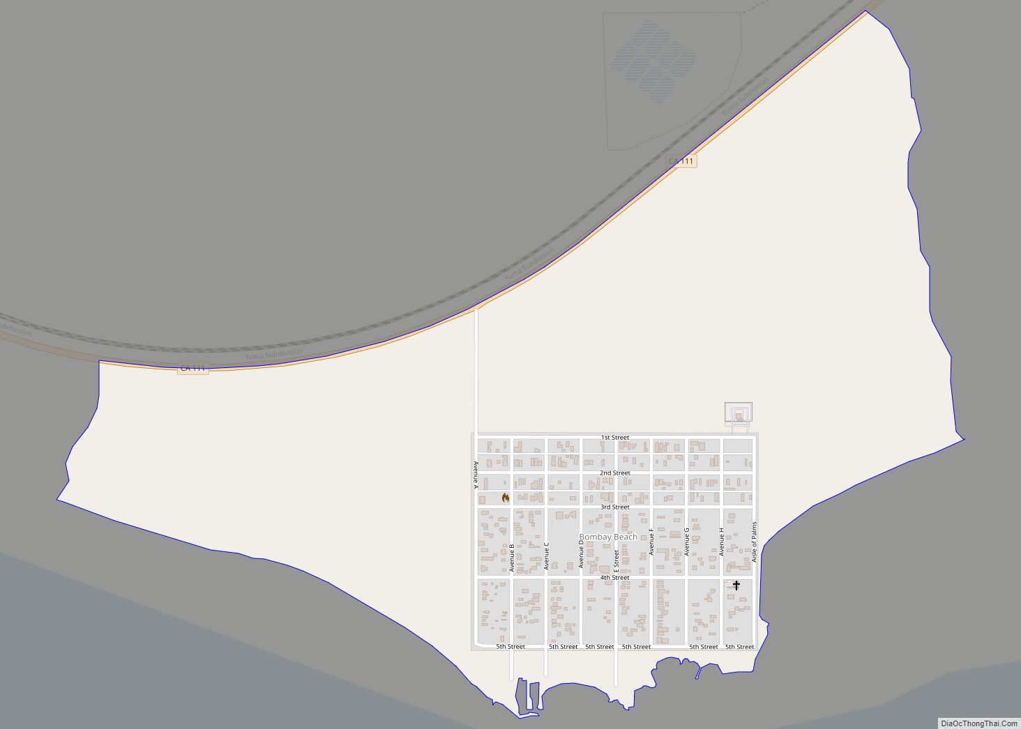
Salton Sea Beach is a census-designated place (CDP) in Imperial County, California, located 2.5 miles (4 km) southeast of Desert Shores. The population was 508 at the 2020 census, up from 422 at the 2010 census, up from 392 at the 2000 census. It is part of the El Centro, California Metropolitan Statistical Area. It was the location of the Naval Auxiliary Air Station Salton Sea.
| Name: | Salton Sea Beach CDP |
|---|---|
| LSAD Code: | 57 |
| LSAD Description: | CDP (suffix) |
| State: | California |
| County: | Imperial County |
| Elevation: | −217 ft (−66 m) |
| Total Area: | 0.301 sq mi (0.780 km²) |
| Land Area: | 0.301 sq mi (0.780 km²) |
| Water Area: | 0 sq mi (0 km²) 0% |
| Total Population: | 508 |
| Population Density: | 1,700/sq mi (650/km²) |
| ZIP code: | 92274 |
| FIPS code: | 0664308 |
Online Interactive Map
Click on ![]() to view map in "full screen" mode.
to view map in "full screen" mode.
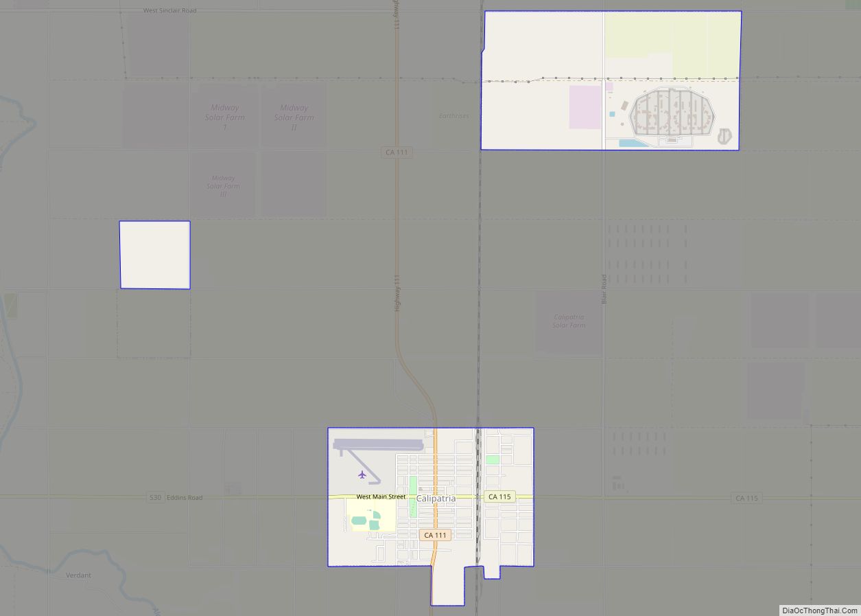
Salton Sea Beach location map. Where is Salton Sea Beach CDP?
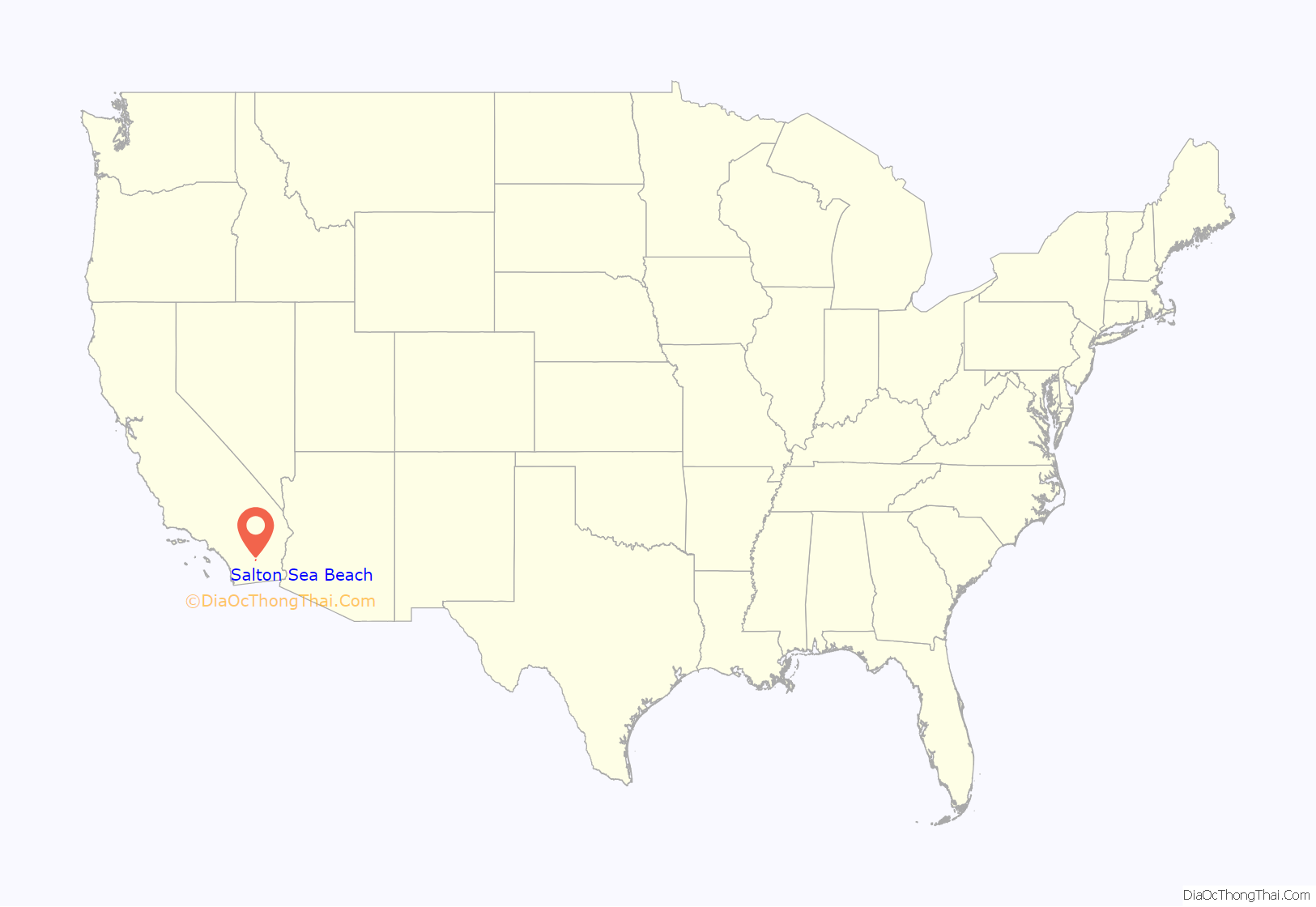
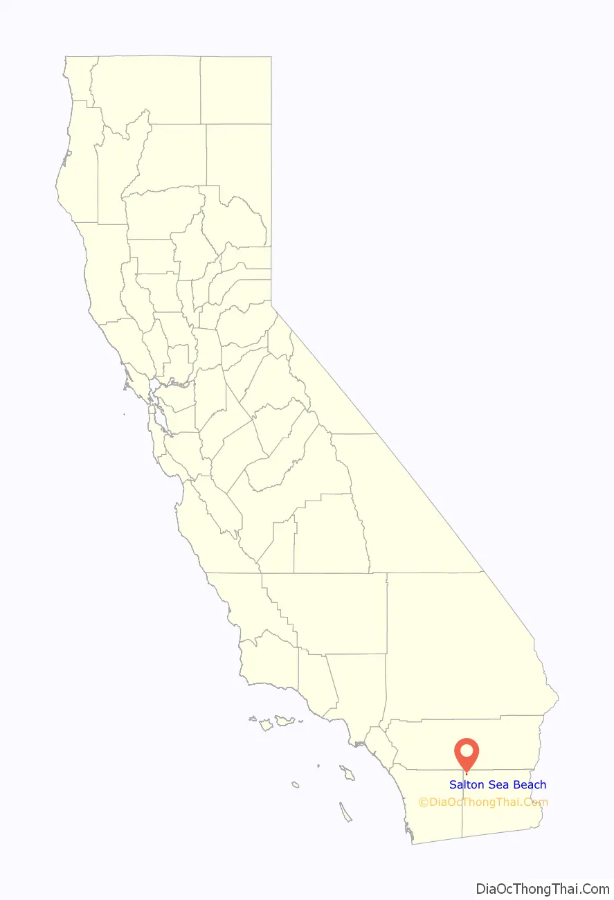
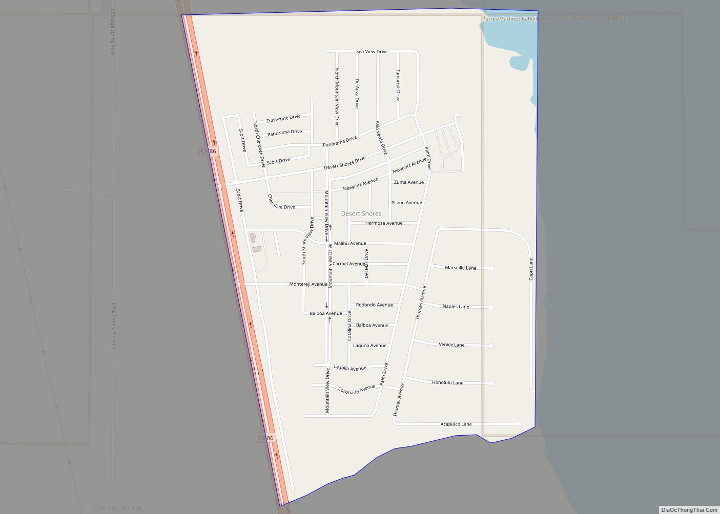
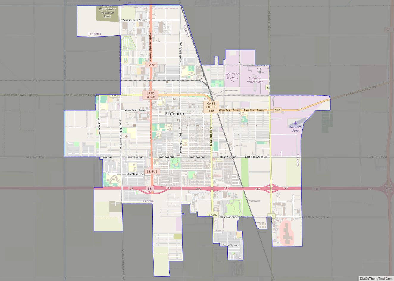
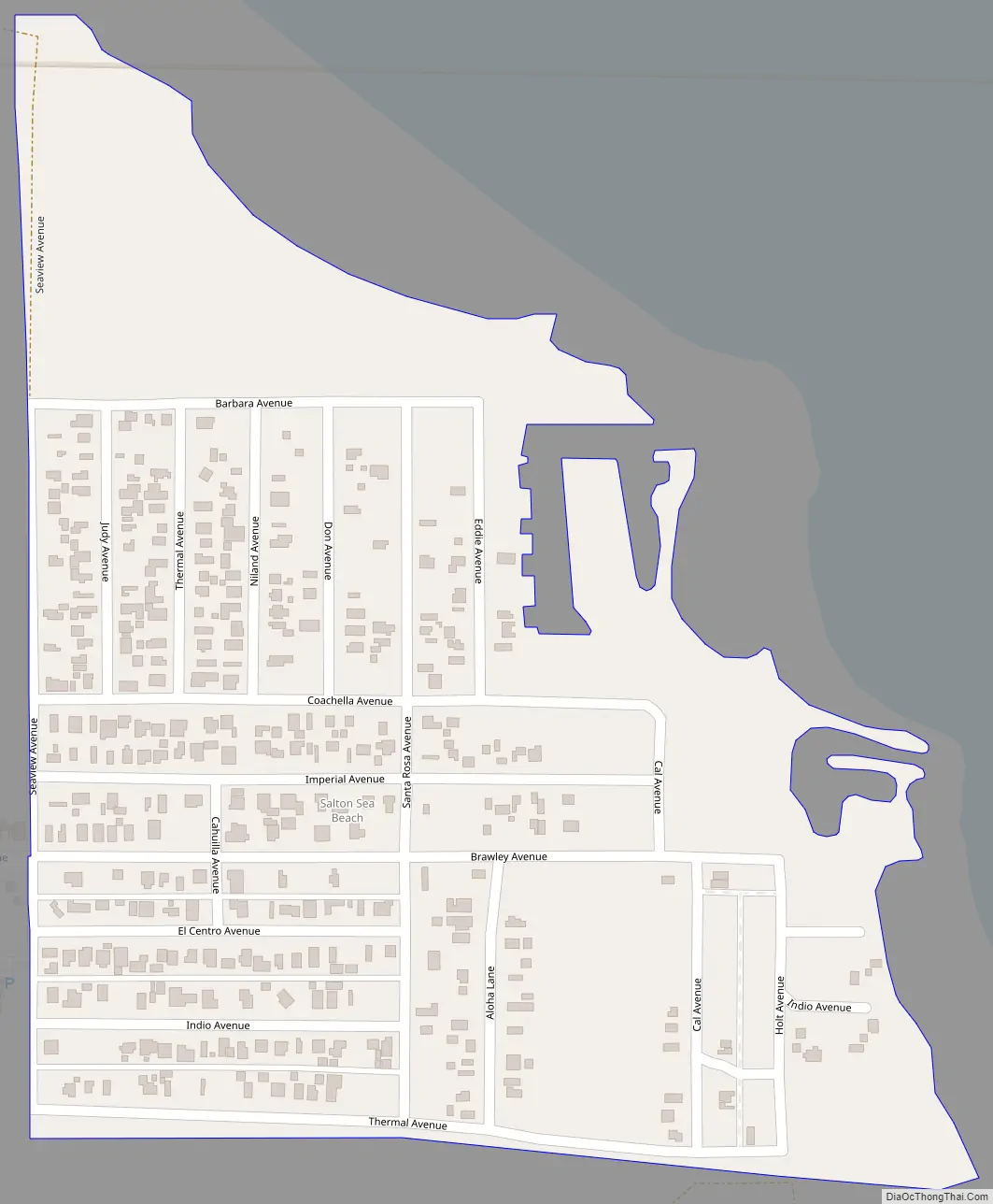
Salton Sea Beach Road Map
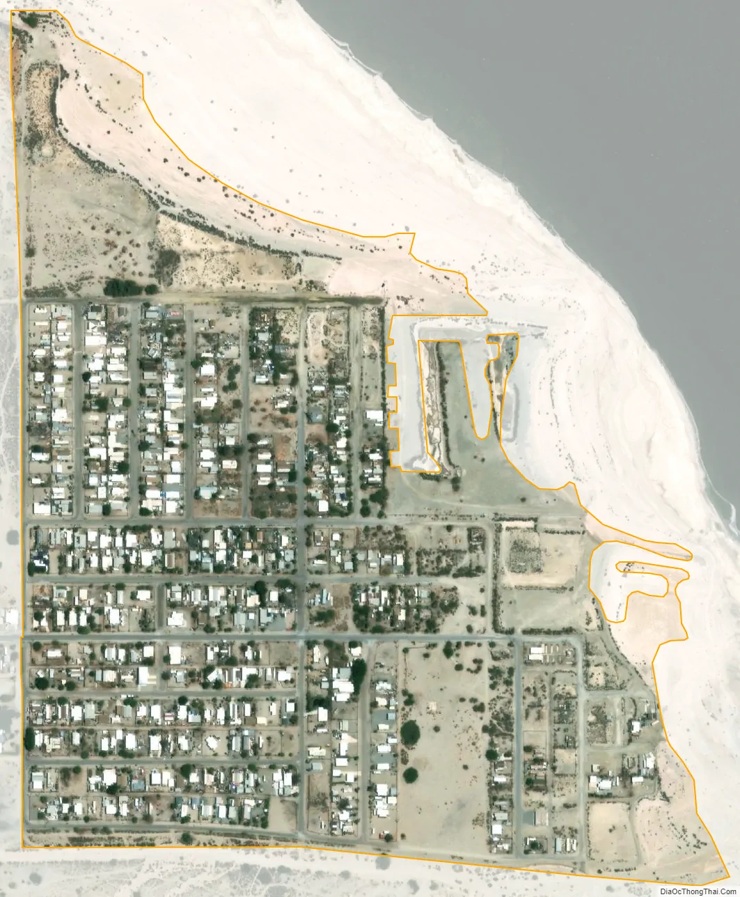
Salton Sea Beach city Satellite Map
Geography
Salton Sea Beach is located along the western shore of the Salton Sea, to the north of Salton City and to the south of Desert Shores along California State Route 86. The Salton Sea has an extremely high salt content and is surrounded by salt flats which can easily be broken using one’s hand.
See also
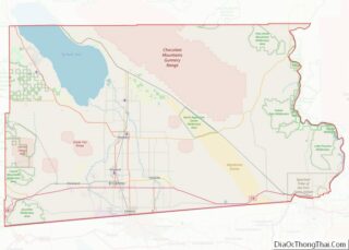
Map of California State and its subdivision:- Alameda
- Alpine
- Amador
- Butte
- Calaveras
- Colusa
- Contra Costa
- Del Norte
- El Dorado
- Fresno
- Glenn
- Humboldt
- Imperial
- Inyo
- Kern
- Kings
- Lake
- Lassen
- Los Angeles
- Madera
- Marin
- Mariposa
- Mendocino
- Merced
- Modoc
- Mono
- Monterey
- Napa
- Nevada
- Orange
- Placer
- Plumas
- Riverside
- Sacramento
- San Benito
- San Bernardino
- San Diego
- San Francisco
- San Joaquin
- San Luis Obispo
- San Mateo
- Santa Barbara
- Santa Clara
- Santa Cruz
- Shasta
- Sierra
- Siskiyou
- Solano
- Sonoma
- Stanislaus
- Sutter
- Tehama
- Trinity
- Tulare
- Tuolumne
- Ventura
- Yolo
- Yuba
- Alabama
- Alaska
- Arizona
- Arkansas
- California
- Colorado
- Connecticut
- Delaware
- District of Columbia
- Florida
- Georgia
- Hawaii
- Idaho
- Illinois
- Indiana
- Iowa
- Kansas
- Kentucky
- Louisiana
- Maine
- Maryland
- Massachusetts
- Michigan
- Minnesota
- Mississippi
- Missouri
- Montana
- Nebraska
- Nevada
- New Hampshire
- New Jersey
- New Mexico
- New York
- North Carolina
- North Dakota
- Ohio
- Oklahoma
- Oregon
- Pennsylvania
- Rhode Island
- South Carolina
- South Dakota
- Tennessee
- Texas
- Utah
- Vermont
- Virginia
- Washington
- West Virginia
- Wisconsin
- Wyoming