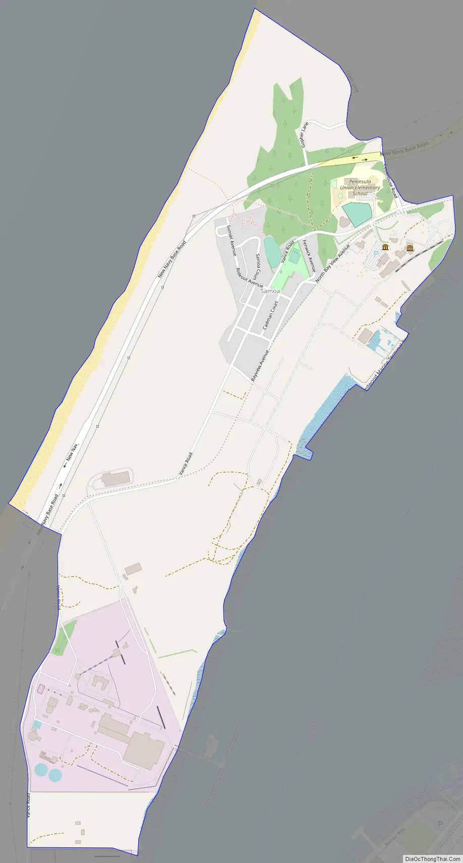
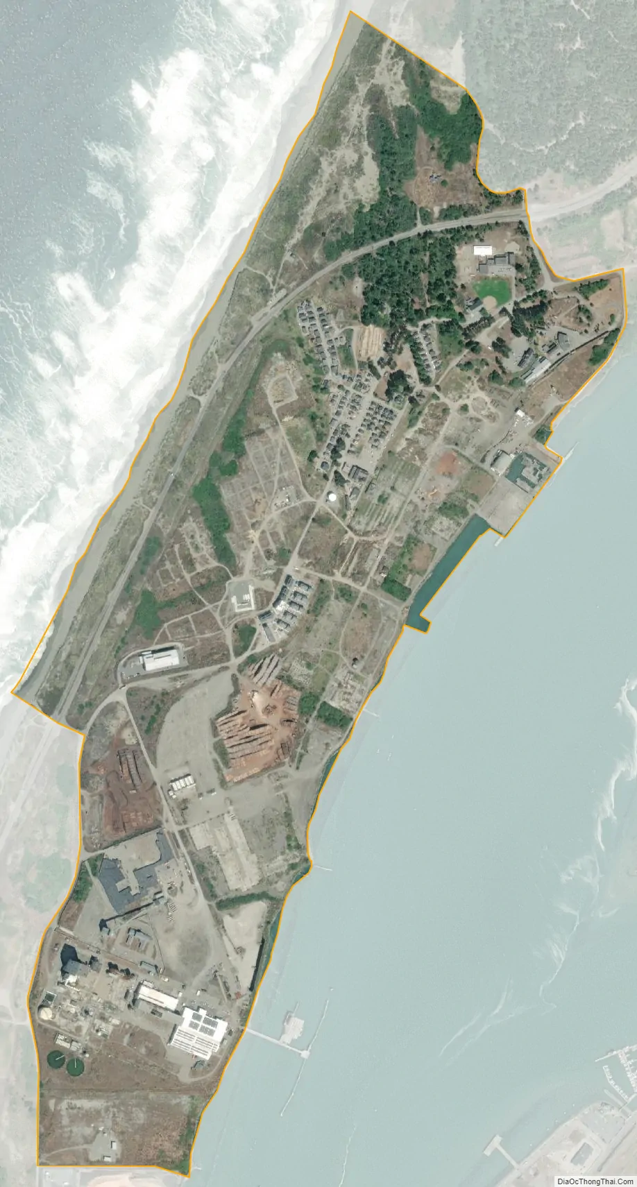
Samoa (formerly Brownsville) is a census-designated place in Humboldt County, California. It is located 1.5 miles (2.4 km) northwest of Eureka, at an elevation of 23 feet (7 m). Samoa is located in the northern peninsula of Humboldt Bay and is the site of the Samoa Cookhouse, one of the last remaining original, lumber-camp style cookhouses. The name Samoa is used interchangeably with the peninsula it occupies. The population was 258 at the 2010 census.
| Name: | Samoa CDP |
|---|---|
| LSAD Code: | 57 |
| LSAD Description: | CDP (suffix) |
| State: | California |
| County: | Humboldt County |
| Elevation: | 23 ft (7 m) |
| Total Area: | 0.837 sq mi (2.167 km²) |
| Land Area: | 0.837 sq mi (2.167 km²) |
| Water Area: | 0 sq mi (0 km²) 0% |
| Total Population: | 229 |
| Population Density: | 270/sq mi (110/km²) |
| ZIP code: | 95564 |
| Area code: | 707 |
| FIPS code: | 0664392 |
Online Interactive Map
Click on ![]() to view map in "full screen" mode.
to view map in "full screen" mode.
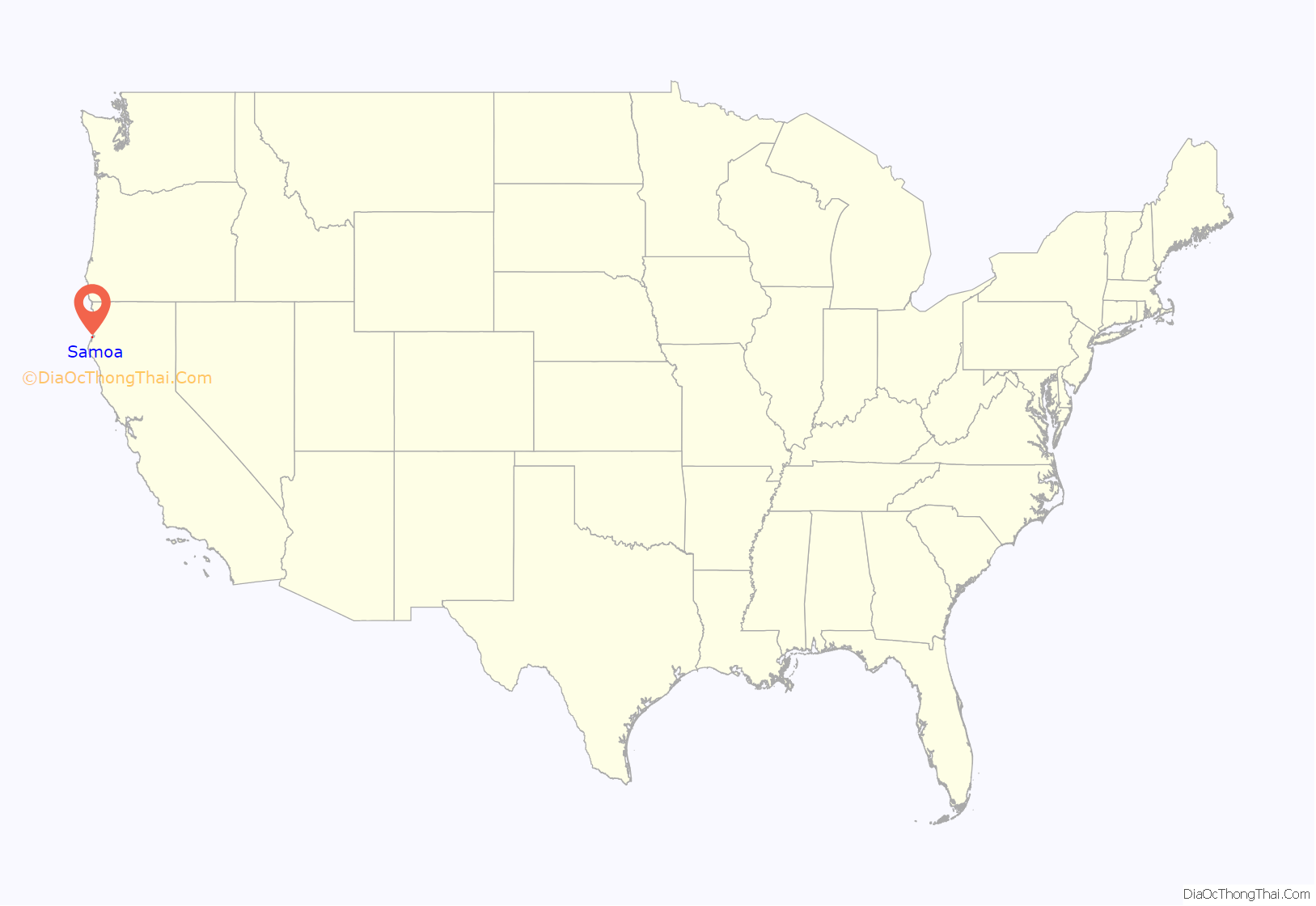
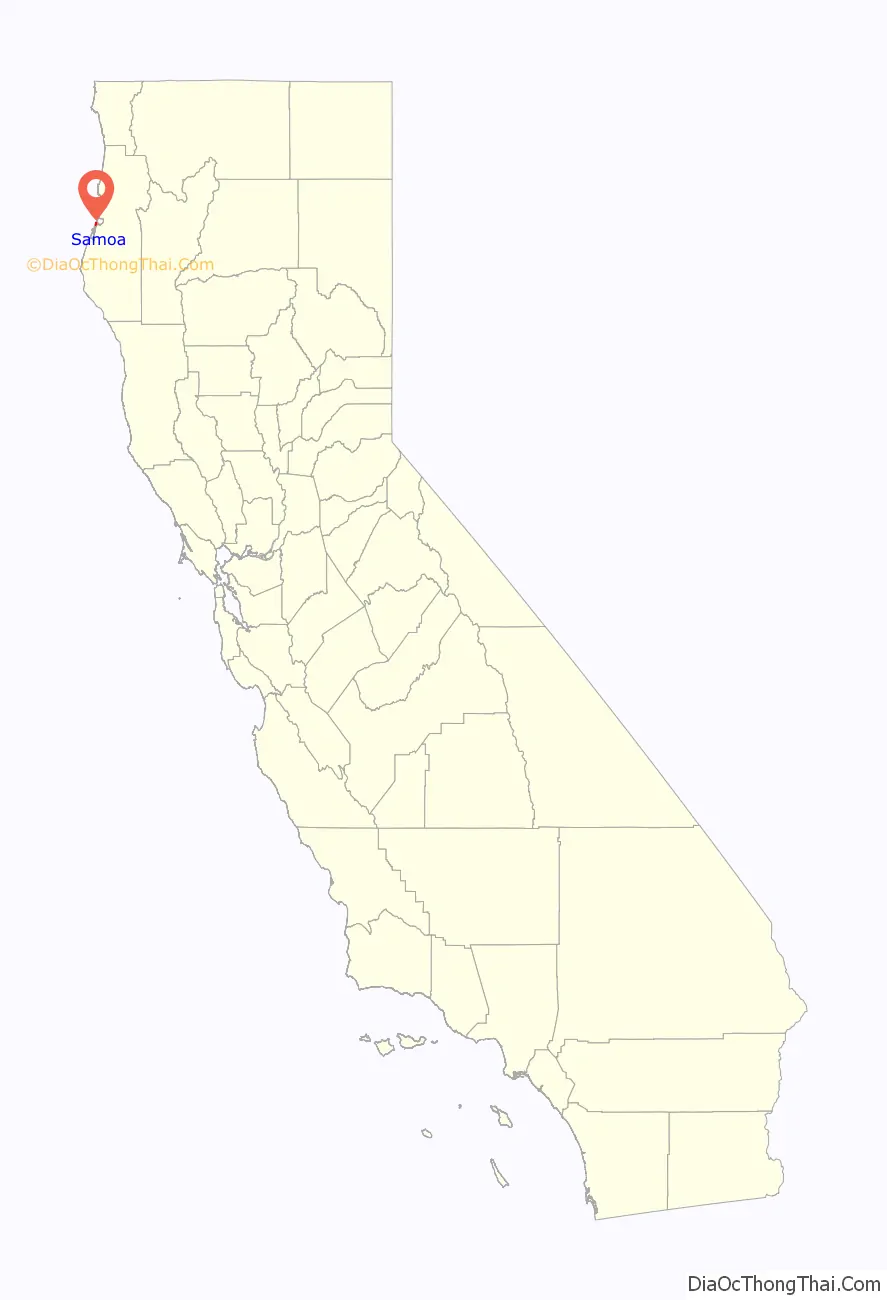
Samoa location map. Where is Samoa CDP?
History
Prior to private settlement of the area, the north spit at the entrance to Humboldt Bay was used by a series of federal government projects including the 1851 to 1892 Humboldt Harbor Light; in 1862, a prisoner of war camp for Native Americans captured in the Bald Hills War; the Humboldt Bay Life-Saving Station in 1878; and the stonemason finishing yard and trans-shipment point for foundation stones for the St. George Reef Light from 1883 to 1891 at Paysonville.
The nongovernmental settlement was named Brownsville after James Henry Brown, a dairy farmer who settled his ranch on the present site of Samoa in 1865. James Brown was the first permanent white settler on the north peninsula of Humboldt Bay. He was born in Quincy, Illinois, in 1830 and came to Humboldt county in 1853, until a group of Eureka businessmen formed the Samoa Land and Improvement Company in 1889. Vance Lumber Company purchased the Humboldt Bay frontage from Samoa Land and Improvement Company for construction of a large sawmill in 1892. Eureka and Klamath River Railroad was chartered in 1893 to connect the Samoa sawmill and associated worker housing facilities to the city of Arcata and timberlands near the Mad River. The Samoa sawmill was the largest in Humboldt County when purchased by Andrew B. Hammond in 1900. The Samoa post office opened in 1894.
A sash and door factory was added to the mill complex by 1909, and the company was reorganized as the Hammond Lumber Company in 1912. Hammond Lumber Company built an emergency shipyard during World War I, and seven wooden steam-ships were built at Samoa between 1917 and 1919. The 1921-22 Belcher Atlas of Humboldt County breaks down private and commercial land ownership throughout the county, showing that by 1922, the region of Samoa was parceled into an extractive resource industry. The largest tracts of land belonged to Hammond Lumber Company, while other enterprises included the Little River Redwood Company, the San Francisco Land Company, Big Lagoon Lumber Company, and Dolbeer & Carson Lumber Company, the latter owning the northerly marsh inlets stretching between the modern-day Arcata Bottoms and Mad River. Hammond Lumber Company railroads brought logs and lumber to Samoa from Little River and Big Lagoon until the railway trestles were destroyed by wildfire in 1945.
Georgia-Pacific Corporation purchased the Samoa sawmill complex in 1956 and began operation of a plywood mill in 1958. A modern sawmill replaced the original sawmill facilities in 1964. A pulp mill began operation in 1965. Some of the older worker housing was razed during construction of modern mill facilities, but the Samoa Cookhouse was preserved. The Samoa mill complex was transferred to Louisiana-Pacific Corporation during a Federal Trade Commission action initiated in 1972 The last old-growth timber was milled in 1980, and the area was set for sale in 2001.
Samoa Road Map
Samoa city Satellite Map
See also
Map of California State and its subdivision:- Alameda
- Alpine
- Amador
- Butte
- Calaveras
- Colusa
- Contra Costa
- Del Norte
- El Dorado
- Fresno
- Glenn
- Humboldt
- Imperial
- Inyo
- Kern
- Kings
- Lake
- Lassen
- Los Angeles
- Madera
- Marin
- Mariposa
- Mendocino
- Merced
- Modoc
- Mono
- Monterey
- Napa
- Nevada
- Orange
- Placer
- Plumas
- Riverside
- Sacramento
- San Benito
- San Bernardino
- San Diego
- San Francisco
- San Joaquin
- San Luis Obispo
- San Mateo
- Santa Barbara
- Santa Clara
- Santa Cruz
- Shasta
- Sierra
- Siskiyou
- Solano
- Sonoma
- Stanislaus
- Sutter
- Tehama
- Trinity
- Tulare
- Tuolumne
- Ventura
- Yolo
- Yuba
- Alabama
- Alaska
- Arizona
- Arkansas
- California
- Colorado
- Connecticut
- Delaware
- District of Columbia
- Florida
- Georgia
- Hawaii
- Idaho
- Illinois
- Indiana
- Iowa
- Kansas
- Kentucky
- Louisiana
- Maine
- Maryland
- Massachusetts
- Michigan
- Minnesota
- Mississippi
- Missouri
- Montana
- Nebraska
- Nevada
- New Hampshire
- New Jersey
- New Mexico
- New York
- North Carolina
- North Dakota
- Ohio
- Oklahoma
- Oregon
- Pennsylvania
- Rhode Island
- South Carolina
- South Dakota
- Tennessee
- Texas
- Utah
- Vermont
- Virginia
- Washington
- West Virginia
- Wisconsin
- Wyoming


