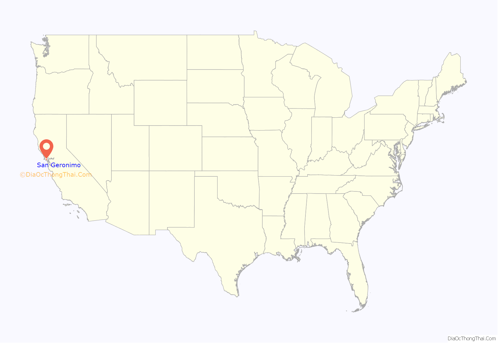
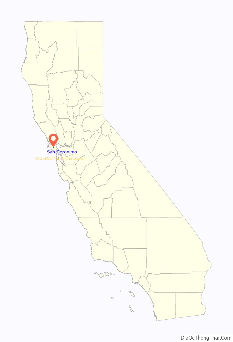
San Geronimo (Spanish: San Gerónimo, meaning “St. Jerome”) is a census-designated place (CDP) located in the San Geronimo Valley in Marin County, California in the United States. San Geronimo is bordered by Lagunitas-Forest Knolls to its west and Woodacre to its east. It is 8 miles (13 km) southwest of downtown Novato at an elevation of 292 feet (89 m). The population was 510 at the 2020 census.
| Name: | San Geronimo CDP |
|---|---|
| LSAD Code: | 57 |
| LSAD Description: | CDP (suffix) |
| State: | California |
| County: | Marin County |
| Elevation: | 292 ft (89 m) |
| Total Area: | 1.508 sq mi (3.91 km²) |
| Land Area: | 1.508 sq mi (3.91 km²) |
| Water Area: | 0 sq mi (0 km²) 0% |
| Total Population: | 510 |
| Population Density: | 340/sq mi (130/km²) |
| ZIP code: | 94963 |
| FIPS code: | 0667070 |
| GNISfeature ID: | 232399 |
Online Interactive Map
Click on ![]() to view map in "full screen" mode.
to view map in "full screen" mode.
San Geronimo location map. Where is San Geronimo CDP?
History
The first known map to depict the San Geronimo Valley was published in 1834. Prior to 1877, the place was called Nicasio. The San Geronimo post office opened in 1895, closed in 1910, and re-opened in 1911.
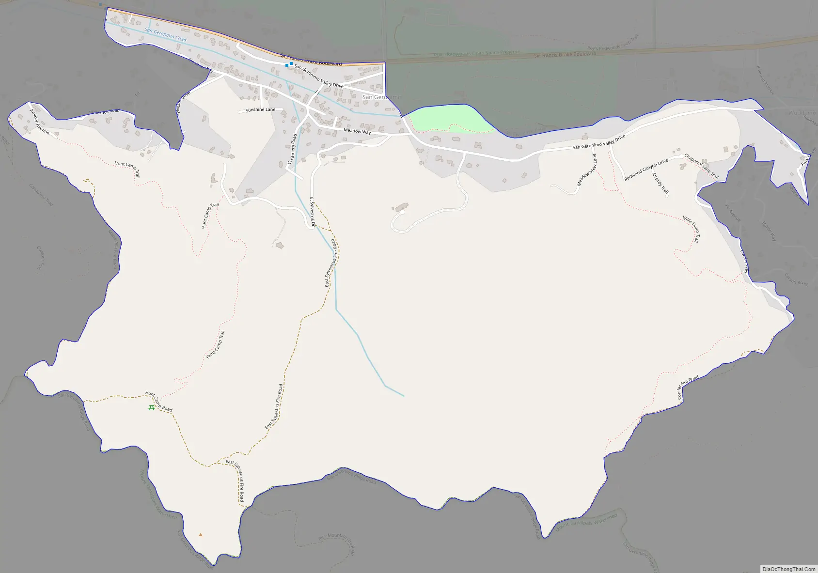
San Geronimo Road Map
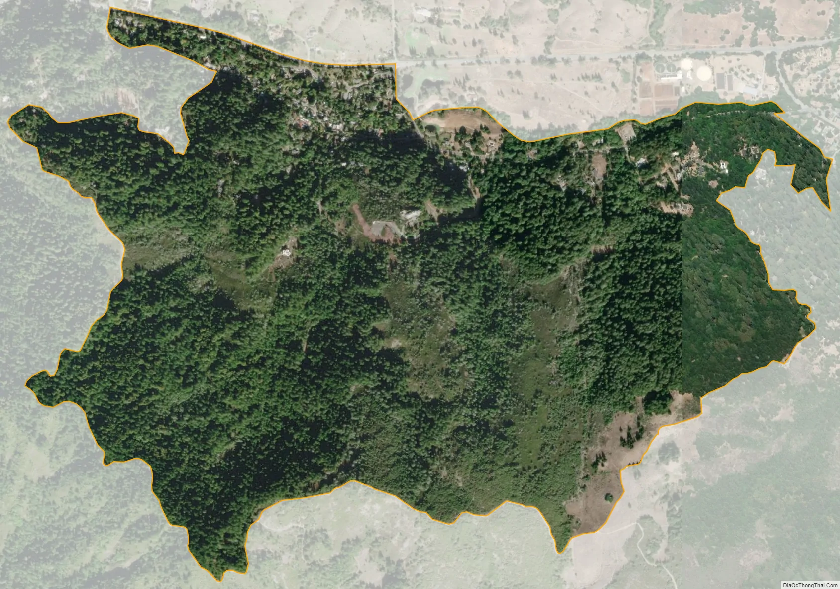
San Geronimo city Satellite Map
Geography
San Geronimo is located at 38°00′48″N 122°39′50″W / 38.01333°N 122.66389°W / 38.01333; -122.66389. According to the United States Census Bureau, the CDP has a total area of 1.5 square miles (3.9 km), all of it land.
San Geronimo was once the home of the San Geronimo Golf Course. In 2018, The Trust for Public Land purchased the 157-acre (64 ha) site and has opened it to public access as a park while it works to restore habitat and conduct a planning process for future use.
See also
Map of California State and its subdivision:- Alameda
- Alpine
- Amador
- Butte
- Calaveras
- Colusa
- Contra Costa
- Del Norte
- El Dorado
- Fresno
- Glenn
- Humboldt
- Imperial
- Inyo
- Kern
- Kings
- Lake
- Lassen
- Los Angeles
- Madera
- Marin
- Mariposa
- Mendocino
- Merced
- Modoc
- Mono
- Monterey
- Napa
- Nevada
- Orange
- Placer
- Plumas
- Riverside
- Sacramento
- San Benito
- San Bernardino
- San Diego
- San Francisco
- San Joaquin
- San Luis Obispo
- San Mateo
- Santa Barbara
- Santa Clara
- Santa Cruz
- Shasta
- Sierra
- Siskiyou
- Solano
- Sonoma
- Stanislaus
- Sutter
- Tehama
- Trinity
- Tulare
- Tuolumne
- Ventura
- Yolo
- Yuba
- Alabama
- Alaska
- Arizona
- Arkansas
- California
- Colorado
- Connecticut
- Delaware
- District of Columbia
- Florida
- Georgia
- Hawaii
- Idaho
- Illinois
- Indiana
- Iowa
- Kansas
- Kentucky
- Louisiana
- Maine
- Maryland
- Massachusetts
- Michigan
- Minnesota
- Mississippi
- Missouri
- Montana
- Nebraska
- Nevada
- New Hampshire
- New Jersey
- New Mexico
- New York
- North Carolina
- North Dakota
- Ohio
- Oklahoma
- Oregon
- Pennsylvania
- Rhode Island
- South Carolina
- South Dakota
- Tennessee
- Texas
- Utah
- Vermont
- Virginia
- Washington
- West Virginia
- Wisconsin
- Wyoming


