Santa Venetia is a census-designated place (CDP) in Marin County, California, United States. It is located 1.5 miles (2.4 km) north of downtown San Rafael, at an elevation of 56 feet (17 m). The population was 4,289 at the 2020 census.
| Name: | Santa Venetia CDP |
|---|---|
| LSAD Code: | 57 |
| LSAD Description: | CDP (suffix) |
| State: | California |
| County: | Marin County |
| Elevation: | 56 ft (17 m) |
| Total Area: | 3.693 sq mi (9.56 km²) |
| Land Area: | 3.664 sq mi (9.49 km²) |
| Water Area: | 0.029 sq mi (0.08 km²) 0.79% |
| Total Population: | 4,289 |
| Population Density: | 1,200/sq mi (450/km²) |
| ZIP code: | 94903 |
| FIPS code: | 0670154 |
| GNISfeature ID: | 1659603 |
Online Interactive Map
Click on ![]() to view map in "full screen" mode.
to view map in "full screen" mode.
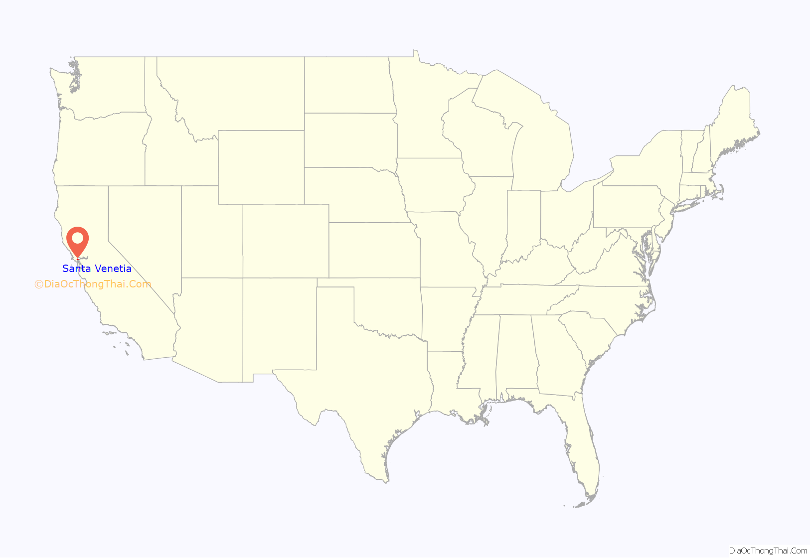
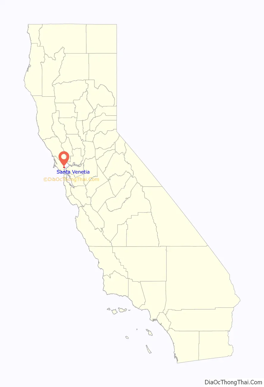
Santa Venetia location map. Where is Santa Venetia CDP?
History
Santa Venetia is built on marshland that was filled in 1914. At that time, real estate developer Mabry McMahan envisioned a bayside luxury development modeled after Venice, Italy. Venice is known as “Venezia” in Italian; however, there is no actual Christian saint (“Santa”) named Venice or Venetia. The development was designed to be complete with canals and gondolas. The economic decline following the First World War put an end to the project.
It was only after the Second World War that significant development took place in Santa Venetia, with suburban developments such as Gallinas Village being built on the land originally filled in 1914.
Santa Venetia was home to the local YMCA until it was destroyed by a fire in 1986. Eventually the property was purchased by a developer who erected residential houses that were completed in 1987.
During the 1960s and 1970s the area was known affectionately to residents, especially teenagers, as “Lower Scabo” and “Upper Scabo”.
Today Santa Venetia is a quiet neighborhood with a rural feel. Residents treasure its proximity to China Camp State Park, and many homes along the canal have water access.
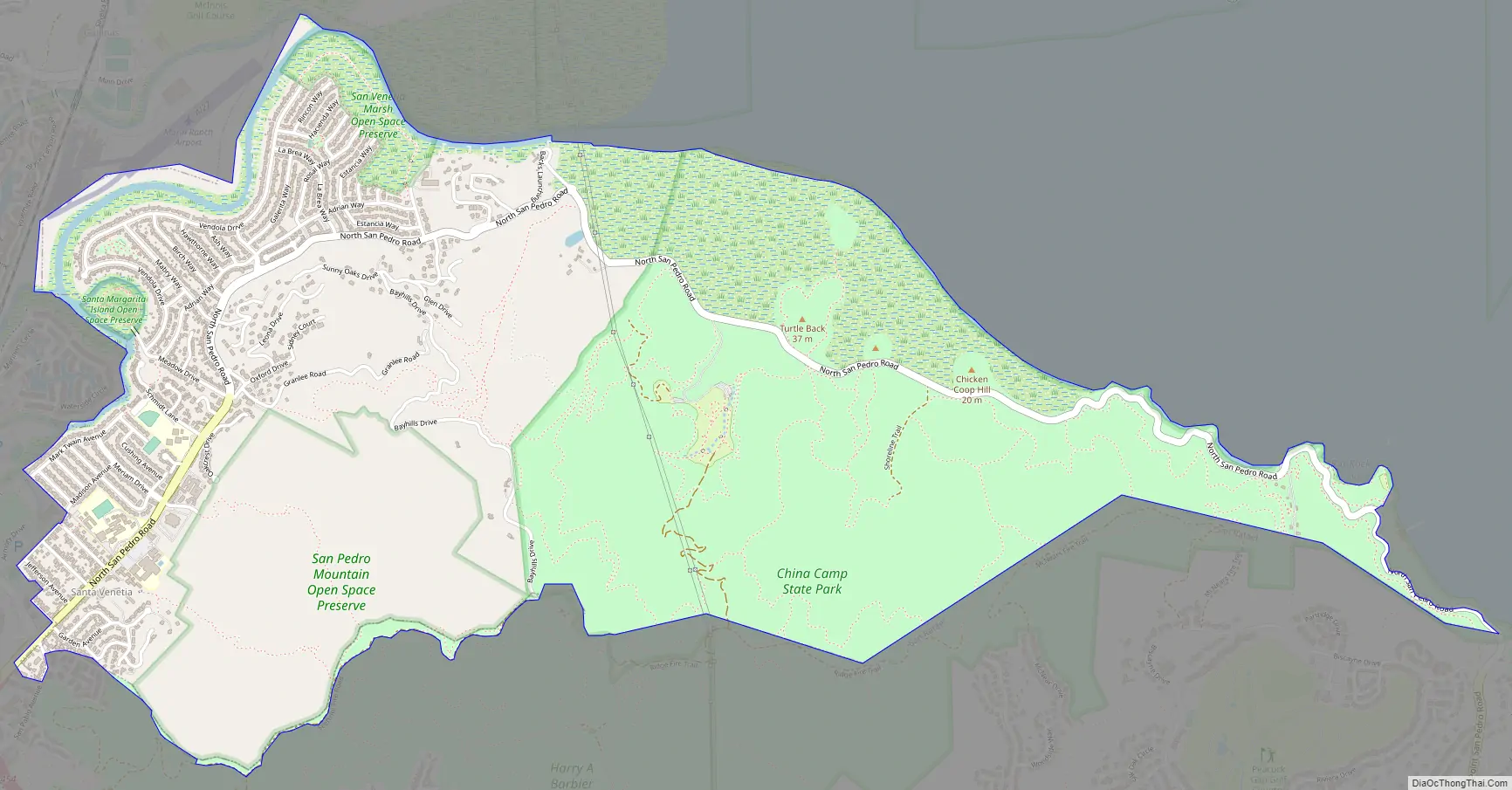
Santa Venetia Road Map
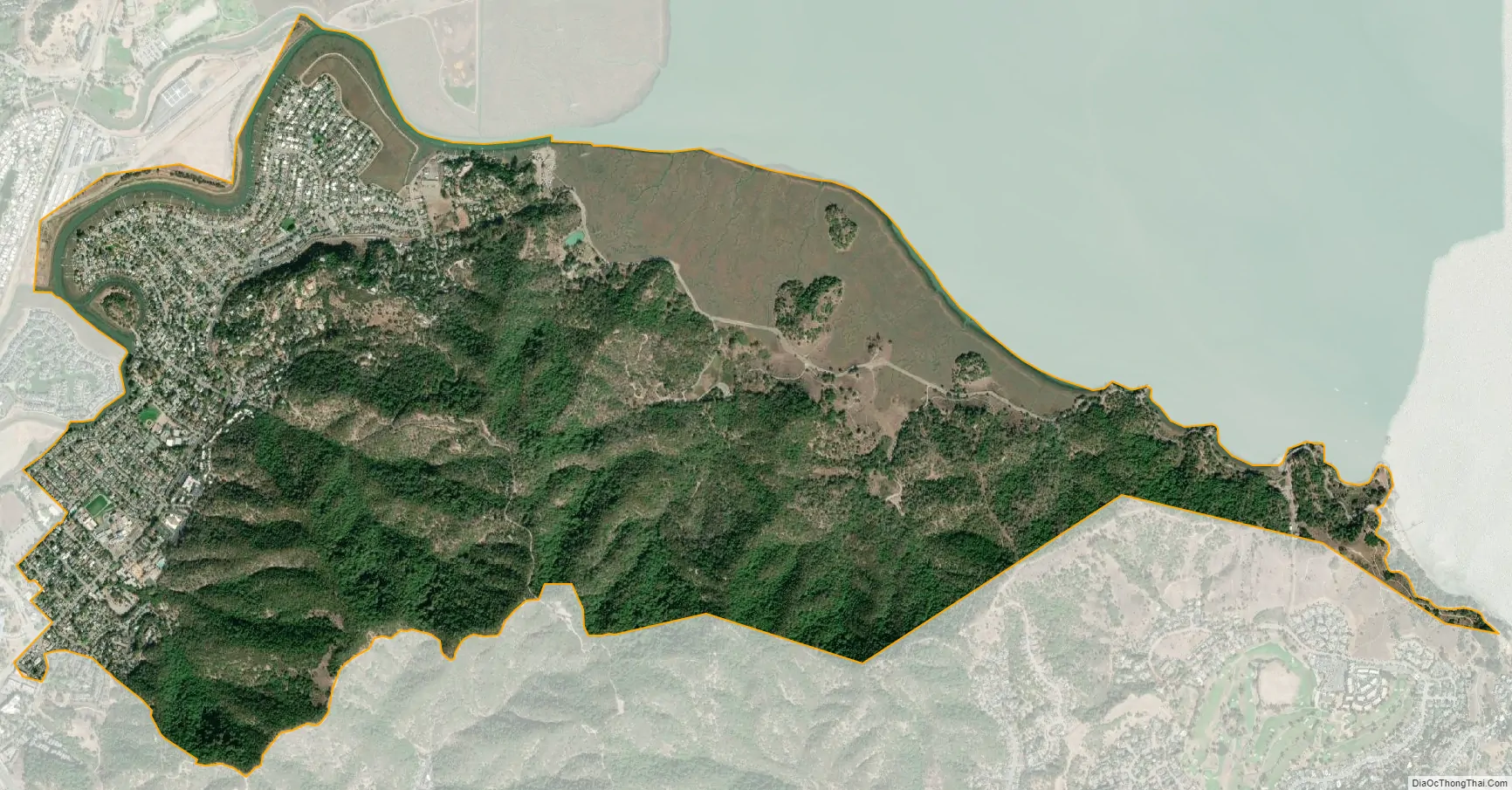
Santa Venetia city Satellite Map
Geography
Santa Venetia is located in eastern Marin County at 37°59′55″N 122°31′31″W / 37.99861°N 122.52528°W / 37.99861; -122.52528. It is bordered to the south and west by the city of San Rafael (the county seat) and to the east by San Pablo Bay, the northern part of the San Francisco Bay estuary. Gallinas Creek forms the northern edge of the community, and the eastern part of the CDP is occupied by China Camp State Park.
According to the United States Census Bureau, the CDP has a total area of 3.7 square miles (9.6 km), of which 0.03 square miles (0.08 km), or 0.79%, are water.
The main road of the community is North San Pedro Road, which passes by the Frank Lloyd Wright-designed Marin County Civic Center. The road runs east through China Camp State Park, along the bay through Peacock Gap, and ends in San Rafael. Santa Venetia has an open space preserve for its marsh as it borders San Pablo Bay.
See also
Map of California State and its subdivision:- Alameda
- Alpine
- Amador
- Butte
- Calaveras
- Colusa
- Contra Costa
- Del Norte
- El Dorado
- Fresno
- Glenn
- Humboldt
- Imperial
- Inyo
- Kern
- Kings
- Lake
- Lassen
- Los Angeles
- Madera
- Marin
- Mariposa
- Mendocino
- Merced
- Modoc
- Mono
- Monterey
- Napa
- Nevada
- Orange
- Placer
- Plumas
- Riverside
- Sacramento
- San Benito
- San Bernardino
- San Diego
- San Francisco
- San Joaquin
- San Luis Obispo
- San Mateo
- Santa Barbara
- Santa Clara
- Santa Cruz
- Shasta
- Sierra
- Siskiyou
- Solano
- Sonoma
- Stanislaus
- Sutter
- Tehama
- Trinity
- Tulare
- Tuolumne
- Ventura
- Yolo
- Yuba
- Alabama
- Alaska
- Arizona
- Arkansas
- California
- Colorado
- Connecticut
- Delaware
- District of Columbia
- Florida
- Georgia
- Hawaii
- Idaho
- Illinois
- Indiana
- Iowa
- Kansas
- Kentucky
- Louisiana
- Maine
- Maryland
- Massachusetts
- Michigan
- Minnesota
- Mississippi
- Missouri
- Montana
- Nebraska
- Nevada
- New Hampshire
- New Jersey
- New Mexico
- New York
- North Carolina
- North Dakota
- Ohio
- Oklahoma
- Oregon
- Pennsylvania
- Rhode Island
- South Carolina
- South Dakota
- Tennessee
- Texas
- Utah
- Vermont
- Virginia
- Washington
- West Virginia
- Wisconsin
- Wyoming


