Santee is a suburban city in San Diego County, California, with a population of 60,037 at the 2020 census. Although it is a part of the East County region, Santee is located just 18 miles (29 km) from the Pacific Ocean. The city is connected to the coastline by State Route 52, a six-lane freeway that runs from Interstate 5 in La Jolla to State Route 67 in El Cajon. The city is bisected by the San Diego River, a linear greenbelt that includes parks, trails and more than 1,100 acres (450 ha) of natural riparian habitat.
| Name: | Santee city |
|---|---|
| LSAD Code: | 25 |
| LSAD Description: | city (suffix) |
| State: | California |
| County: | San Diego County |
| Incorporated: | December 1, 1980 |
| Elevation: | 351 ft (107 m) |
| Total Area: | 16.72 sq mi (43.30 km²) |
| Land Area: | 16.54 sq mi (42.83 km²) |
| Water Area: | 0.18 sq mi (0.47 km²) 1.77% |
| Total Population: | 60,037 |
| Population Density: | 3,600/sq mi (1,400/km²) |
| ZIP code: | 92071-92072 |
| Area code: | 619 |
| FIPS code: | 0670224 |
| GNISfeature ID: | 1656619 |
| Website: | www.cityofsanteeca.gov |
Online Interactive Map
Click on ![]() to view map in "full screen" mode.
to view map in "full screen" mode.
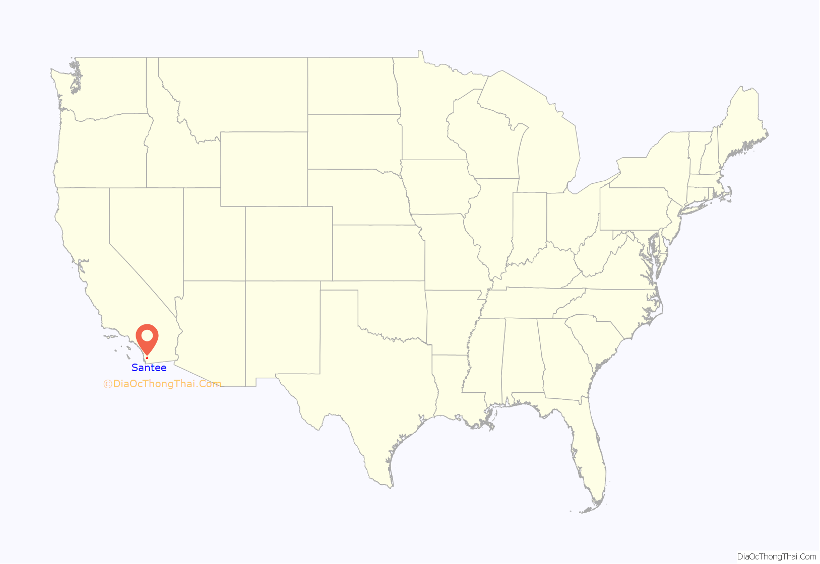
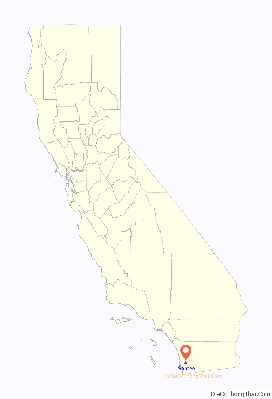
Santee location map. Where is Santee city?
History
The region was the homeland of the Kumeyaay people. These original residents established the village of Sinyeweche on the banks of the San Diego River in the present day Santee area.
The city is named after Milton Santee, the second husband of Jennie Blodgett, whose first husband was George A. Cowles, a pioneer rancher and businessperson in the San Diego County area.
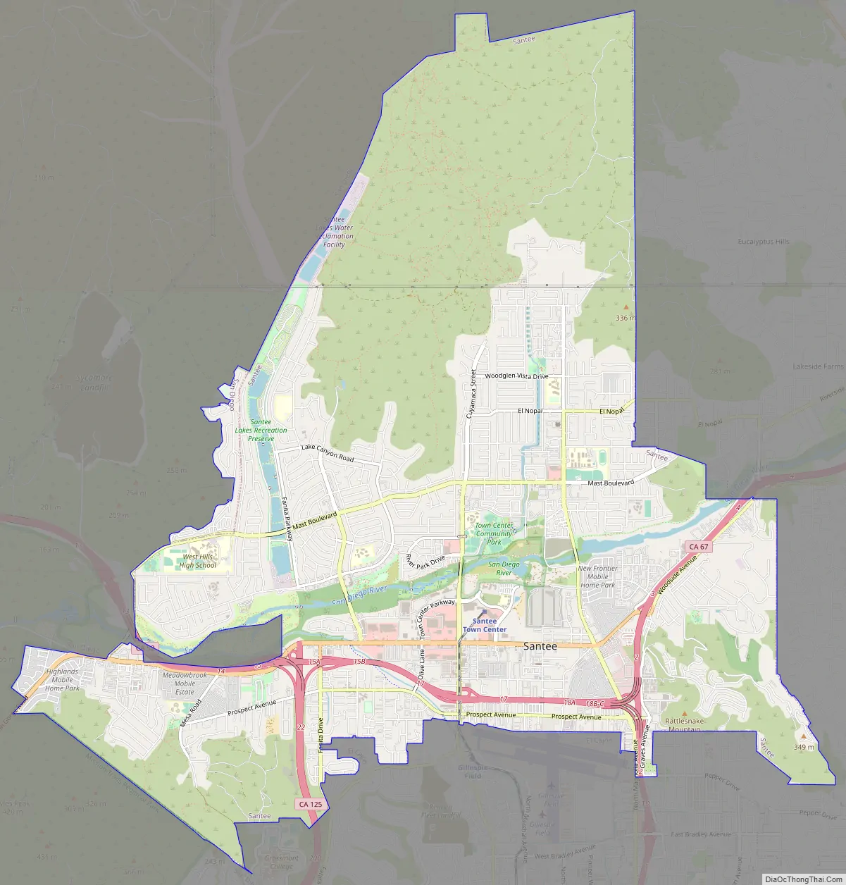
Santee Road Map
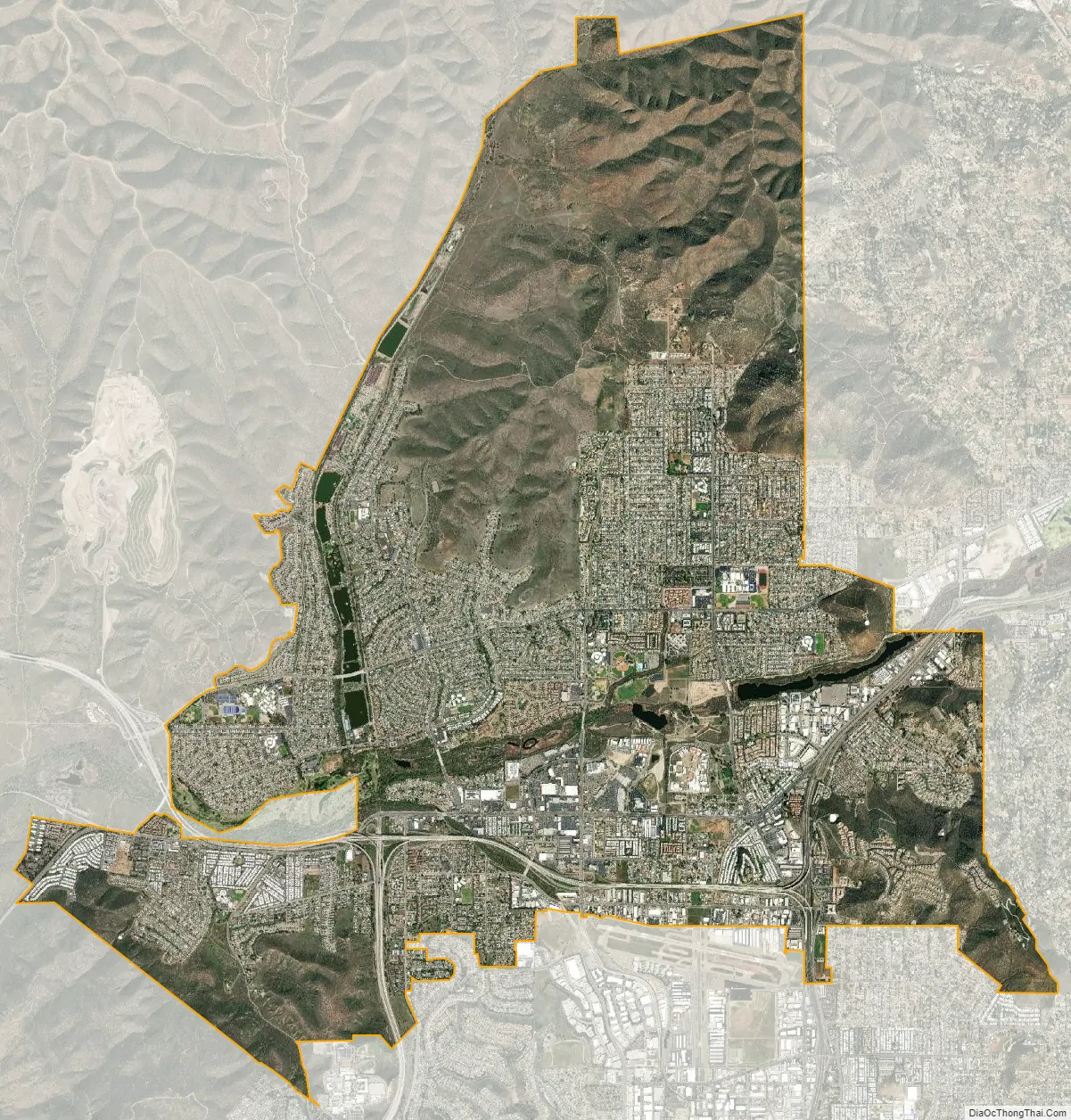
Santee city Satellite Map
Geography
Santee shares the northern part of a valley with the city of El Cajon. The city is bisected by the San Diego River, which flows east to west for approximately 4.2 miles (6.8 km) within the city limits. Hills form a natural barrier on its northern and western sides.
At an altitude of 1,198 feet, Rattlesnake Mountain is the highest point in Santee. Rattlesnake Mountain is home to the Sky Ranch community, and is topped with a large illuminated star during the holiday season.
Climate
According to the Köppen Climate Classification system, Santee has a semi-arid climate, abbreviated “BSk” on climate maps.
See also
Map of California State and its subdivision:- Alameda
- Alpine
- Amador
- Butte
- Calaveras
- Colusa
- Contra Costa
- Del Norte
- El Dorado
- Fresno
- Glenn
- Humboldt
- Imperial
- Inyo
- Kern
- Kings
- Lake
- Lassen
- Los Angeles
- Madera
- Marin
- Mariposa
- Mendocino
- Merced
- Modoc
- Mono
- Monterey
- Napa
- Nevada
- Orange
- Placer
- Plumas
- Riverside
- Sacramento
- San Benito
- San Bernardino
- San Diego
- San Francisco
- San Joaquin
- San Luis Obispo
- San Mateo
- Santa Barbara
- Santa Clara
- Santa Cruz
- Shasta
- Sierra
- Siskiyou
- Solano
- Sonoma
- Stanislaus
- Sutter
- Tehama
- Trinity
- Tulare
- Tuolumne
- Ventura
- Yolo
- Yuba
- Alabama
- Alaska
- Arizona
- Arkansas
- California
- Colorado
- Connecticut
- Delaware
- District of Columbia
- Florida
- Georgia
- Hawaii
- Idaho
- Illinois
- Indiana
- Iowa
- Kansas
- Kentucky
- Louisiana
- Maine
- Maryland
- Massachusetts
- Michigan
- Minnesota
- Mississippi
- Missouri
- Montana
- Nebraska
- Nevada
- New Hampshire
- New Jersey
- New Mexico
- New York
- North Carolina
- North Dakota
- Ohio
- Oklahoma
- Oregon
- Pennsylvania
- Rhode Island
- South Carolina
- South Dakota
- Tennessee
- Texas
- Utah
- Vermont
- Virginia
- Washington
- West Virginia
- Wisconsin
- Wyoming


