Seeley is a census-designated place (CDP) in Imperial County, California. Seeley is located 7.5 miles (12 km) west of El Centro. The population was 1,823 at the 2010 census, up from 1,624 in 2000. It is part of the El Centro Metropolitan Area.
| Name: | Seeley CDP |
|---|---|
| LSAD Code: | 57 |
| LSAD Description: | CDP (suffix) |
| State: | California |
| County: | Imperial County |
| Elevation: | −36 ft (−11 m) |
| Total Area: | 1.242 sq mi (3.218 km²) |
| Land Area: | 1.219 sq mi (3.157 km²) |
| Water Area: | 0.023 sq mi (0.061 km²) 1.9% |
| Total Population: | 1,739 |
| Population Density: | 1,353.3/sq mi (507.5/km²) |
| ZIP code: | 92273 |
| FIPS code: | 0670798 |
Online Interactive Map
Click on ![]() to view map in "full screen" mode.
to view map in "full screen" mode.
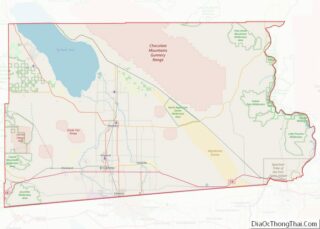
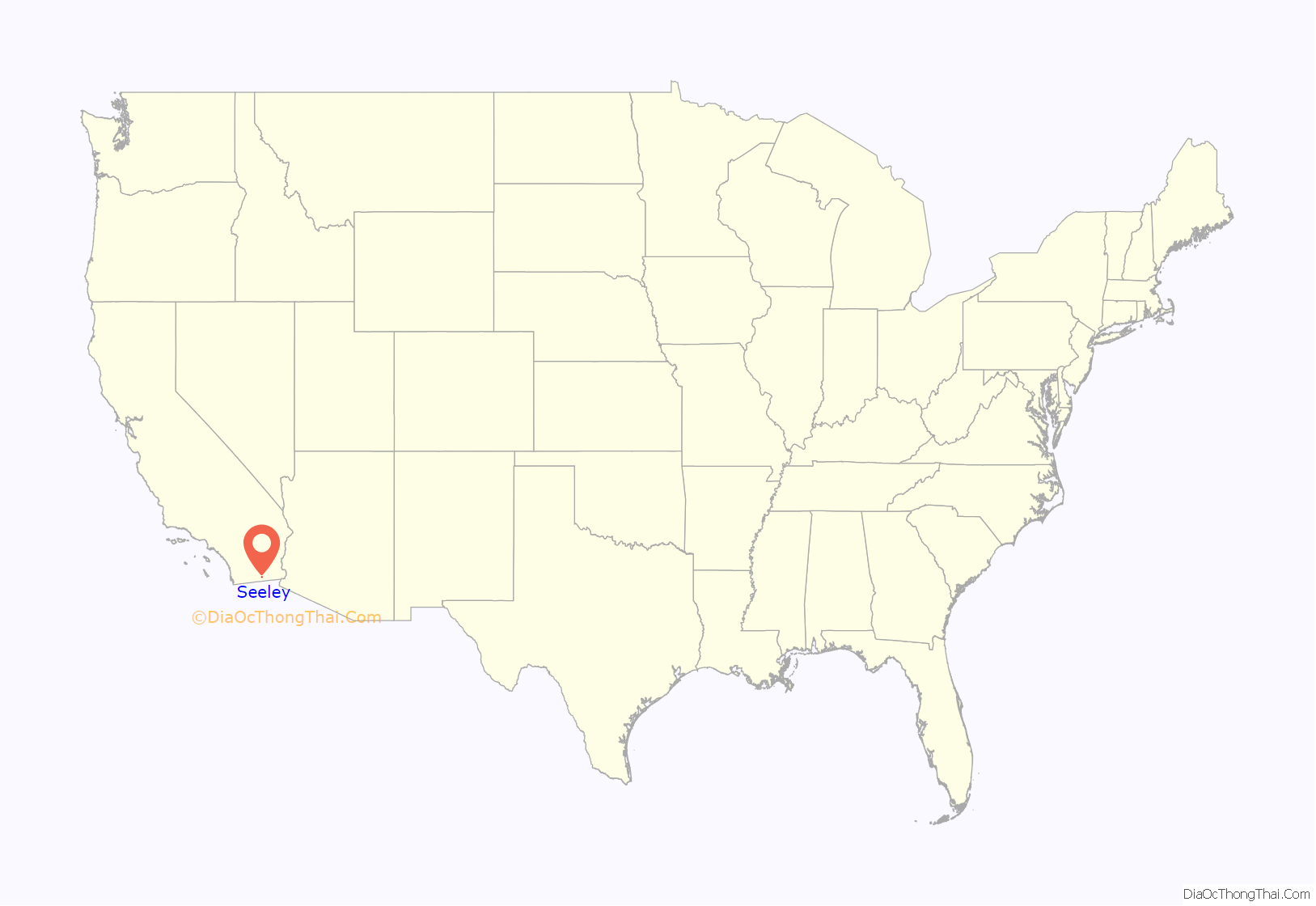
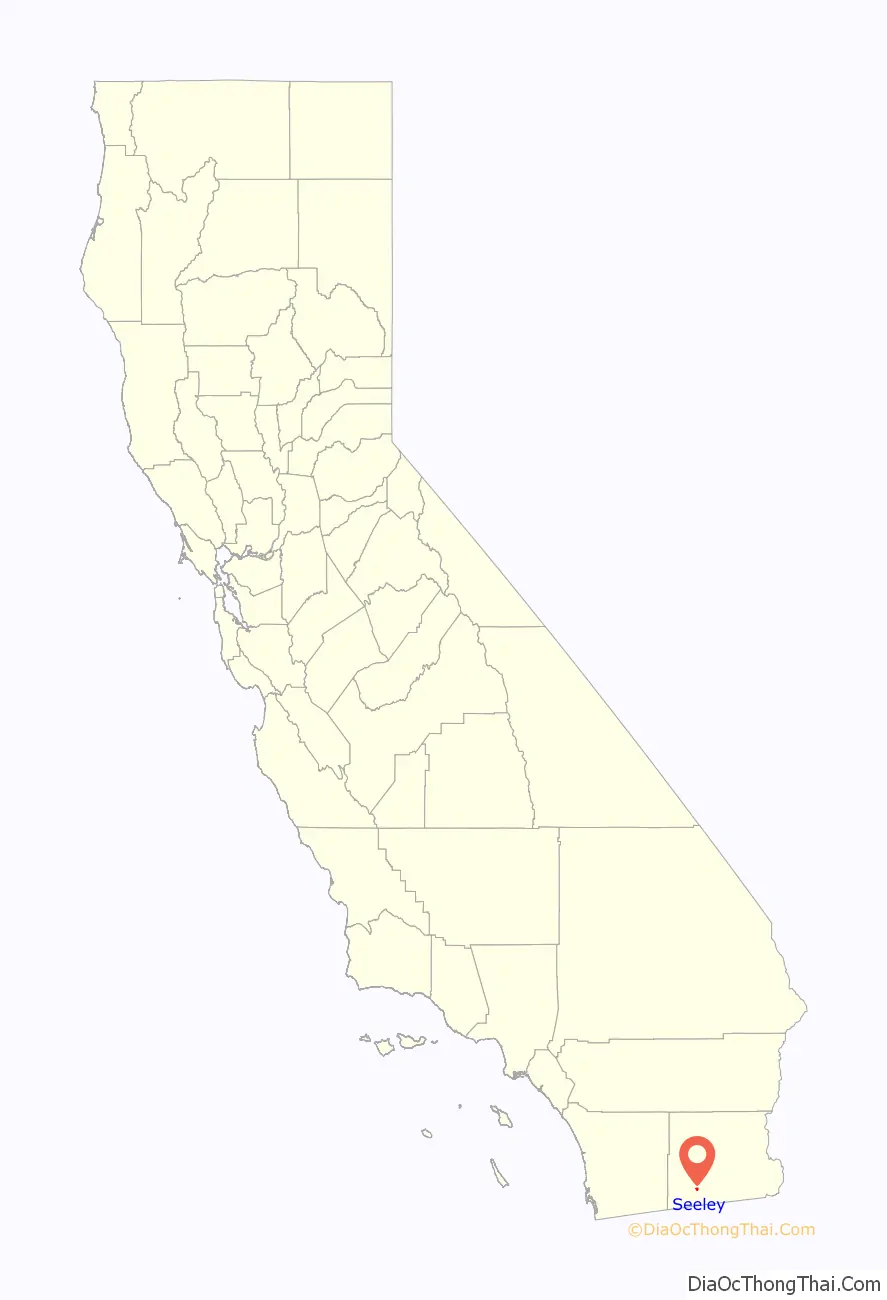
Seeley location map. Where is Seeley CDP?
History
The first post office at Seeley was opened in 1909. The name honors Henry Seeley, an early developer of Imperial County.
Seeley is one of the oldest established communities in Imperial County, tracing its history back to the early years of the 20th century. It was originally established as a stage stop on the shores of the now dead Blue Lake.
NAF El Centro, the winter home of the Blue Angels, was built adjacent to Seeley in 1946. In 1964, Interstate 8 was run a mile south of Seeley, marking the lowest elevation on the Interstate Highway System at -52 feet.
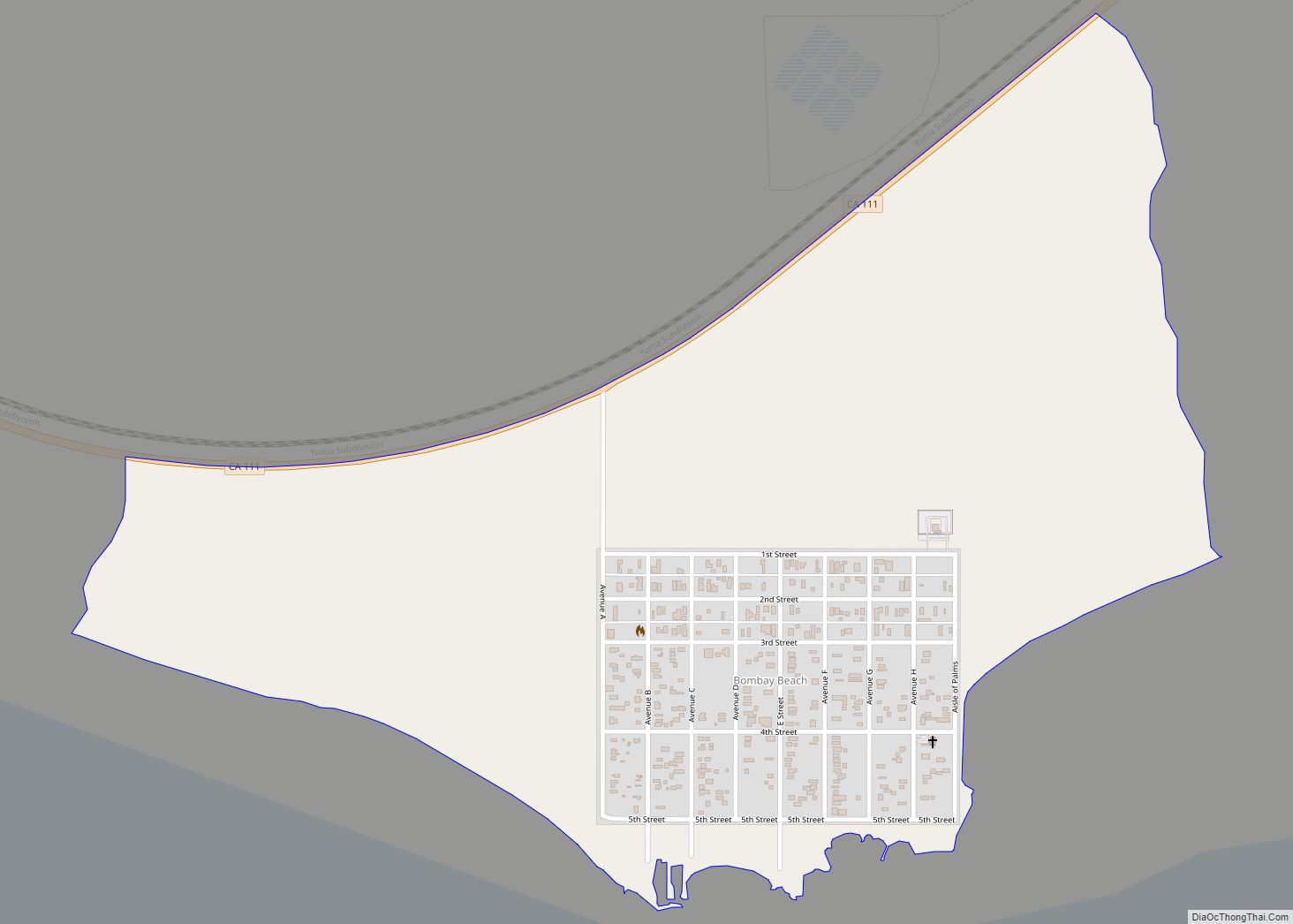
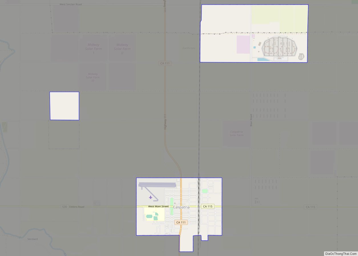
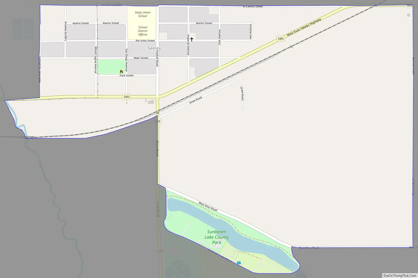
Seeley Road Map
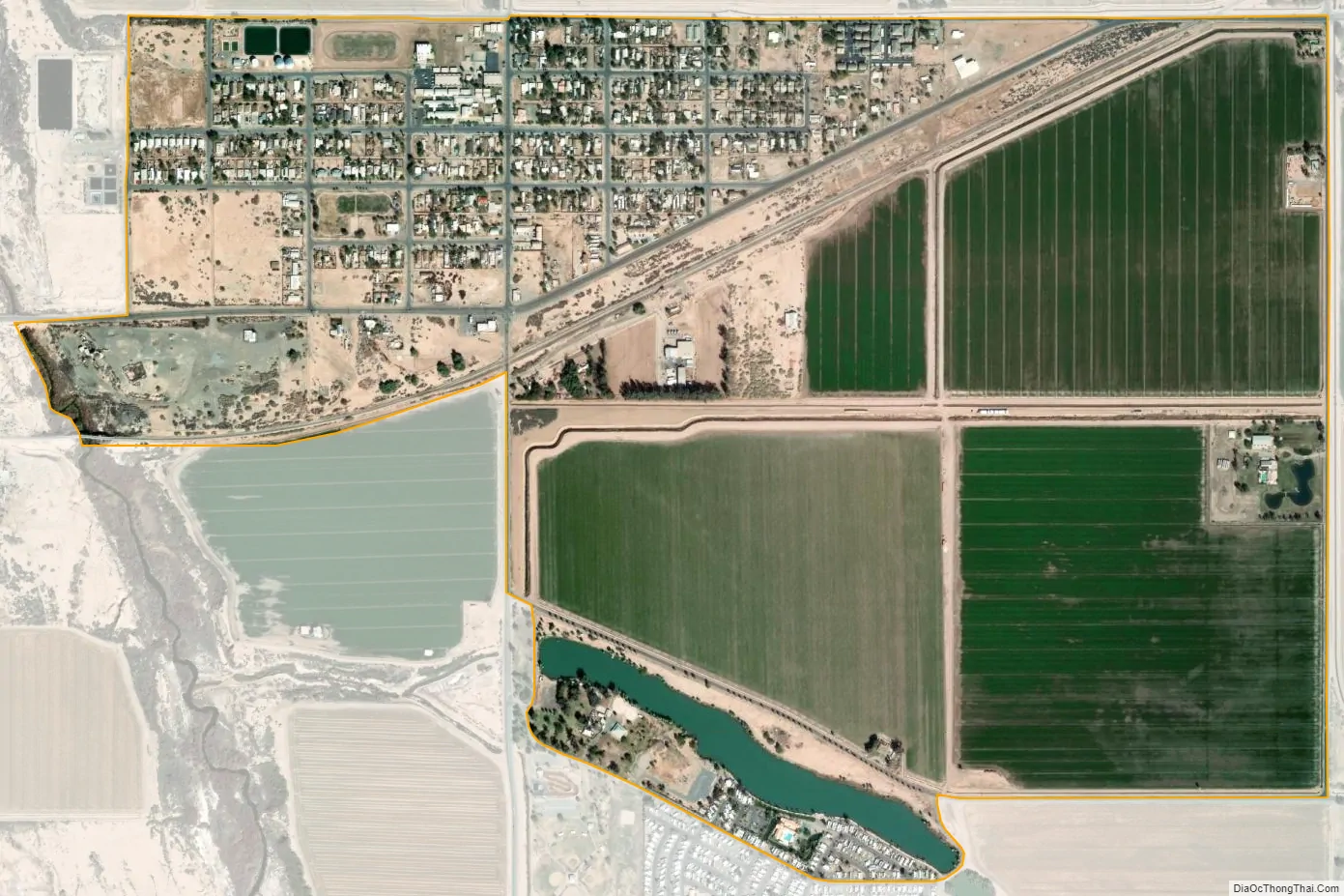
Seeley city Satellite Map
Geography
Bordered on the west by the New River, Seeley sits astride the Imperial Fault and above what was once the basin of the “Blue Lake”. Like much of the Imperial Valley, Seeley lies entirely below sea level.
According to the United States Census Bureau, the CDP has a total area of 1.2 square miles (3.1 km), of which 1.2 square miles (3.1 km) is land and 0.02 square miles (0.052 km) (1.9%) is water.
Climate
This area has a large amount of sunshine year round due to its stable descending air and high pressure. According to the Köppen Climate Classification system, Seeley has a desert climate, abbreviated “Bwh” on climate maps.
See also
Map of California State and its subdivision:- Alameda
- Alpine
- Amador
- Butte
- Calaveras
- Colusa
- Contra Costa
- Del Norte
- El Dorado
- Fresno
- Glenn
- Humboldt
- Imperial
- Inyo
- Kern
- Kings
- Lake
- Lassen
- Los Angeles
- Madera
- Marin
- Mariposa
- Mendocino
- Merced
- Modoc
- Mono
- Monterey
- Napa
- Nevada
- Orange
- Placer
- Plumas
- Riverside
- Sacramento
- San Benito
- San Bernardino
- San Diego
- San Francisco
- San Joaquin
- San Luis Obispo
- San Mateo
- Santa Barbara
- Santa Clara
- Santa Cruz
- Shasta
- Sierra
- Siskiyou
- Solano
- Sonoma
- Stanislaus
- Sutter
- Tehama
- Trinity
- Tulare
- Tuolumne
- Ventura
- Yolo
- Yuba
- Alabama
- Alaska
- Arizona
- Arkansas
- California
- Colorado
- Connecticut
- Delaware
- District of Columbia
- Florida
- Georgia
- Hawaii
- Idaho
- Illinois
- Indiana
- Iowa
- Kansas
- Kentucky
- Louisiana
- Maine
- Maryland
- Massachusetts
- Michigan
- Minnesota
- Mississippi
- Missouri
- Montana
- Nebraska
- Nevada
- New Hampshire
- New Jersey
- New Mexico
- New York
- North Carolina
- North Dakota
- Ohio
- Oklahoma
- Oregon
- Pennsylvania
- Rhode Island
- South Carolina
- South Dakota
- Tennessee
- Texas
- Utah
- Vermont
- Virginia
- Washington
- West Virginia
- Wisconsin
- Wyoming