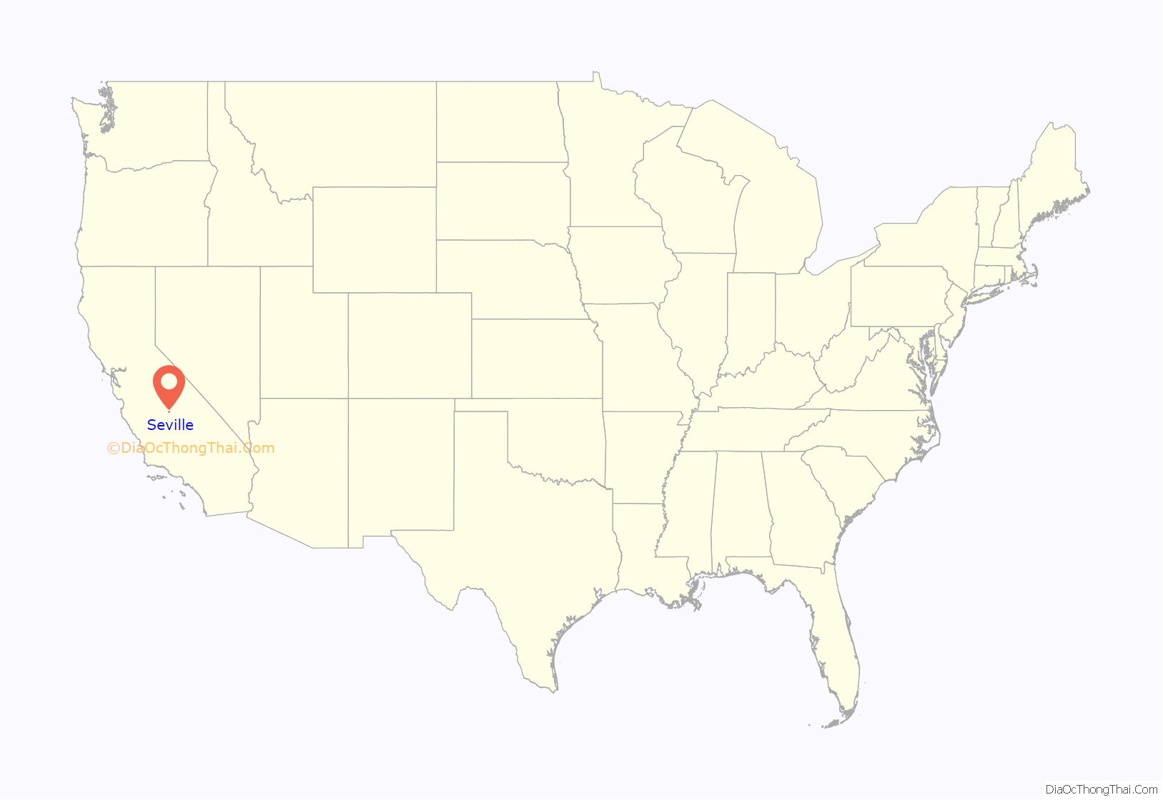
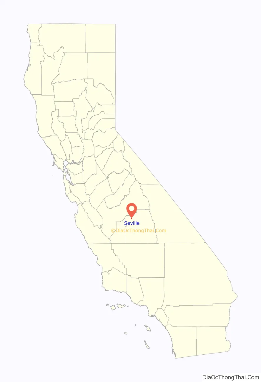
Seville is a census-designated place in Tulare County, California, United States. Seville is located along California State Route 201 4.5 miles (7.2 km) southeast of Cutler and 8.5 miles (13.7 km). northwest of Woodlake. The population was 480 at the 2010 census.
| Name: | Seville CDP |
|---|---|
| LSAD Code: | 57 |
| LSAD Description: | CDP (suffix) |
| State: | California |
| County: | Tulare County |
| Elevation: | 354 ft (108 m) |
| Total Area: | 0.636 sq mi (1.648 km²) |
| Land Area: | 0.636 sq mi (1.648 km²) |
| Water Area: | 0 sq mi (0 km²) 0% |
| Total Population: | 480 |
| Population Density: | 750/sq mi (290/km²) |
| ZIP code: | 93292 |
| Area code: | 559 |
| FIPS code: | 0671078 |
Online Interactive Map
Click on ![]() to view map in "full screen" mode.
to view map in "full screen" mode.
Seville location map. Where is Seville CDP?
History
Seville was named by officials of the Atchison, Topeka and Santa Fe Railroad in 1913. First child born in Seville was Dorothy Seville Wilhour on Dec. 21, 1914. Town gave father $20 gold piece for naming child after town.
A post office was established in Seville in 1915 and was closed in 1931
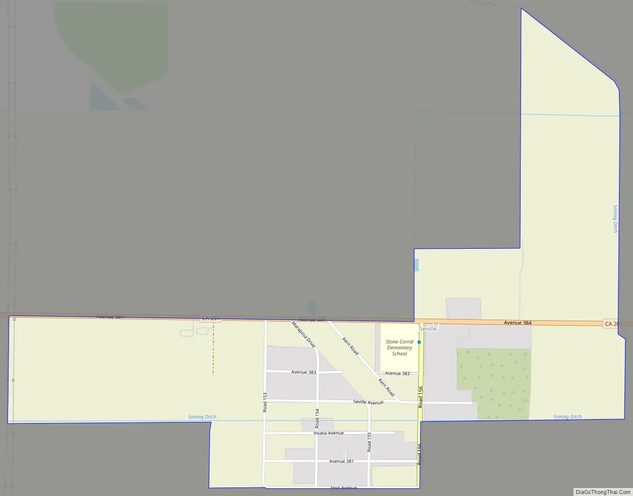
Seville Road Map
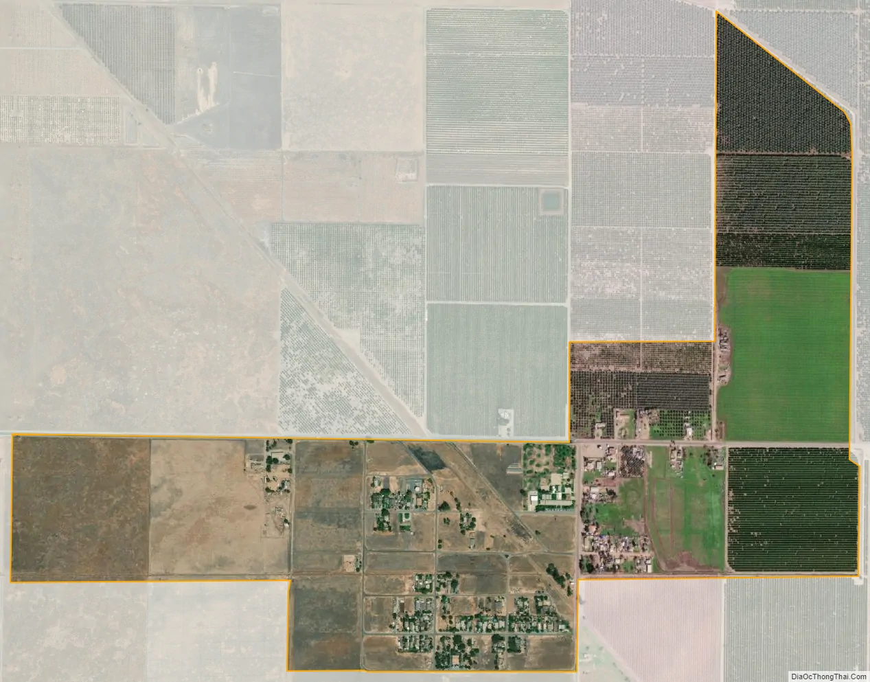
Seville city Satellite Map
Geography
According to the United States Census Bureau, the CDP covers an area of 0.6 square miles (1.6 km), all of it land.
See also
Map of California State and its subdivision:- Alameda
- Alpine
- Amador
- Butte
- Calaveras
- Colusa
- Contra Costa
- Del Norte
- El Dorado
- Fresno
- Glenn
- Humboldt
- Imperial
- Inyo
- Kern
- Kings
- Lake
- Lassen
- Los Angeles
- Madera
- Marin
- Mariposa
- Mendocino
- Merced
- Modoc
- Mono
- Monterey
- Napa
- Nevada
- Orange
- Placer
- Plumas
- Riverside
- Sacramento
- San Benito
- San Bernardino
- San Diego
- San Francisco
- San Joaquin
- San Luis Obispo
- San Mateo
- Santa Barbara
- Santa Clara
- Santa Cruz
- Shasta
- Sierra
- Siskiyou
- Solano
- Sonoma
- Stanislaus
- Sutter
- Tehama
- Trinity
- Tulare
- Tuolumne
- Ventura
- Yolo
- Yuba
- Alabama
- Alaska
- Arizona
- Arkansas
- California
- Colorado
- Connecticut
- Delaware
- District of Columbia
- Florida
- Georgia
- Hawaii
- Idaho
- Illinois
- Indiana
- Iowa
- Kansas
- Kentucky
- Louisiana
- Maine
- Maryland
- Massachusetts
- Michigan
- Minnesota
- Mississippi
- Missouri
- Montana
- Nebraska
- Nevada
- New Hampshire
- New Jersey
- New Mexico
- New York
- North Carolina
- North Dakota
- Ohio
- Oklahoma
- Oregon
- Pennsylvania
- Rhode Island
- South Carolina
- South Dakota
- Tennessee
- Texas
- Utah
- Vermont
- Virginia
- Washington
- West Virginia
- Wisconsin
- Wyoming


