Shelter Cove is a census-designated place in Humboldt County, California. It lies at an elevation of 138 feet (42 m). Shelter Cove is on California’s Lost Coast where the King Range meets the Pacific Ocean. A nine-hole golf course surrounds the one-runway Shelter Cove Airport at the center of Shelter Cove’s commercial district. Utilities are provided by the Humboldt County Resort Improvement District #1 and boating access to the sea is managed by the Humboldt Bay Harbor, Recreation & Conservation District. The population was 803 at the 2020 census.
Shelter Cove shares a ZIP code (95589) with the hamlet of Whitethorn, California, located to the southeast. The community is inside area code 707. Sinkyone Wilderness State Park is about 6 miles (9.7 km) south of Shelter Cove on the coast. There are also parks such as Black Sands Beach, Mal Coombs Park, Seal Rock Picnic Area and Abalone Point. Much of the land around Shelter Cove is in the King Range National Conservation Area, managed by the Bureau of Land Management. Cove amenities include hiking trails, a community center, deli, coffee shop, restaurants, multiple inns, a general store, and several gift shops. Other amenities in Shelter Cove include a small aircraft airstrip, a boat launch, and RV parking. Some services not available in Shelter Cove are in the towns of Redway and Garberville on the U.S. 101 corridor, about 20 miles (32 km) of winding county road to the east.
| Name: | Shelter Cove CDP |
|---|---|
| LSAD Code: | 57 |
| LSAD Description: | CDP (suffix) |
| State: | California |
| County: | Humboldt County |
| Elevation: | 138 ft (42 m) |
| Total Area: | 5.830 sq mi (15.099 km²) |
| Land Area: | 5.830 sq mi (15.099 km²) |
| Water Area: | 0 sq mi (0 km²) 0% |
| Total Population: | 803 |
| Population Density: | 140/sq mi (53/km²) |
| ZIP code: | 95589 |
| Area code: | 707 |
| FIPS code: | 0671372 |
Online Interactive Map
Click on ![]() to view map in "full screen" mode.
to view map in "full screen" mode.
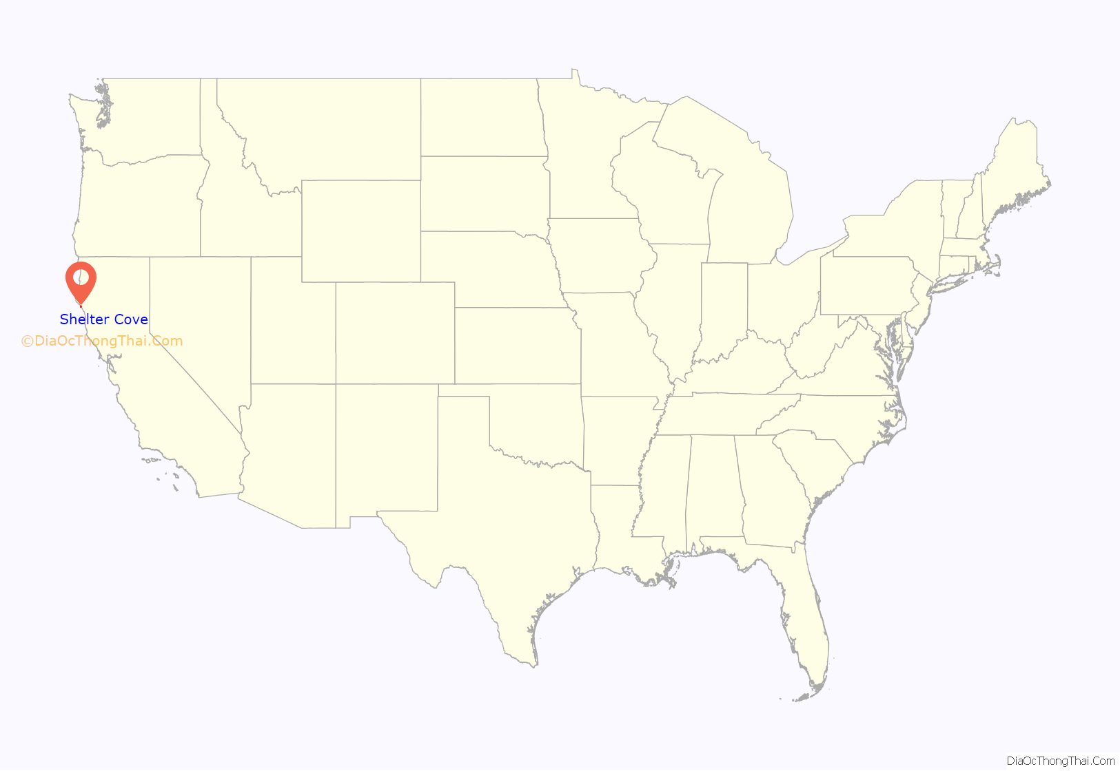
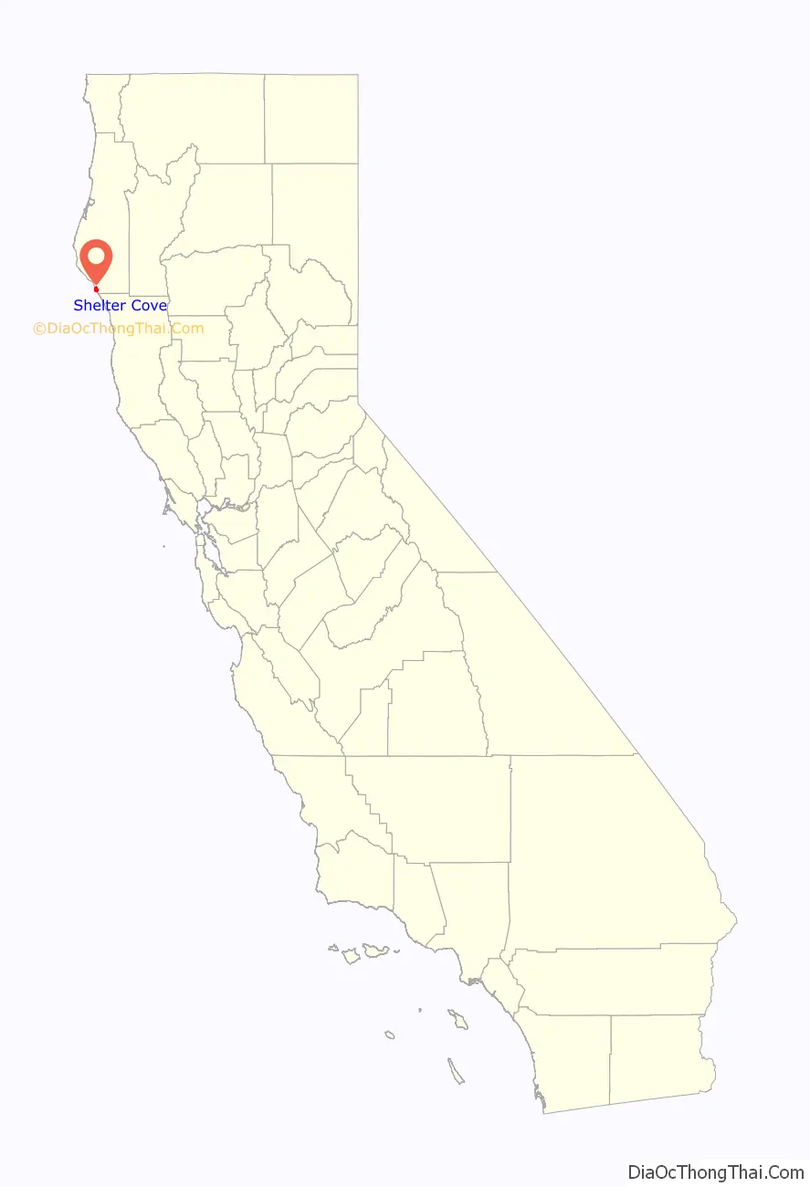
Shelter Cove location map. Where is Shelter Cove CDP?
History
The area around Shelter Cove was originally home to Native Americans known as the Sinkyone people.
Near Shelter Cove on July 21, 1907, the coastal passenger steamer Columbia collided with the steam schooner San Pedro amidst dense fog. The Columbia subsequently sank, killing 88 people. Although badly damaged, San Pedro stayed afloat and helped to rescue Columbia’s survivors.
Because of the very steep terrain on the coastal areas surrounding Shelter Cove, the highway builders constructing State Route 1 (the “Shoreline Highway”) decided it was too difficult to build the coastal highway along a long stretch of what is now the Lost Coast. As a result, the small fishing village of Shelter Cove remained very secluded from the rest of the populous state, despite being only 230 miles (370 km) north of San Francisco, and is accessible by boat, via small mountain road, or by the small Shelter Cove Airport.
As a result of its seclusion, the Shelter Cove area has become a popular spot for those seeking quiet vacation respite or retirement area. Popular activities in the area include fishing, whale watching, hiking, diving for abalone, and other outdoor activities.
The Cape Mendocino Light, a lighthouse from Cape Mendocino, was moved by helicopter to Mal Coombs Park in 1998. A post office operated at Shelter Cove from 1892 to 1933, moving in 1898.
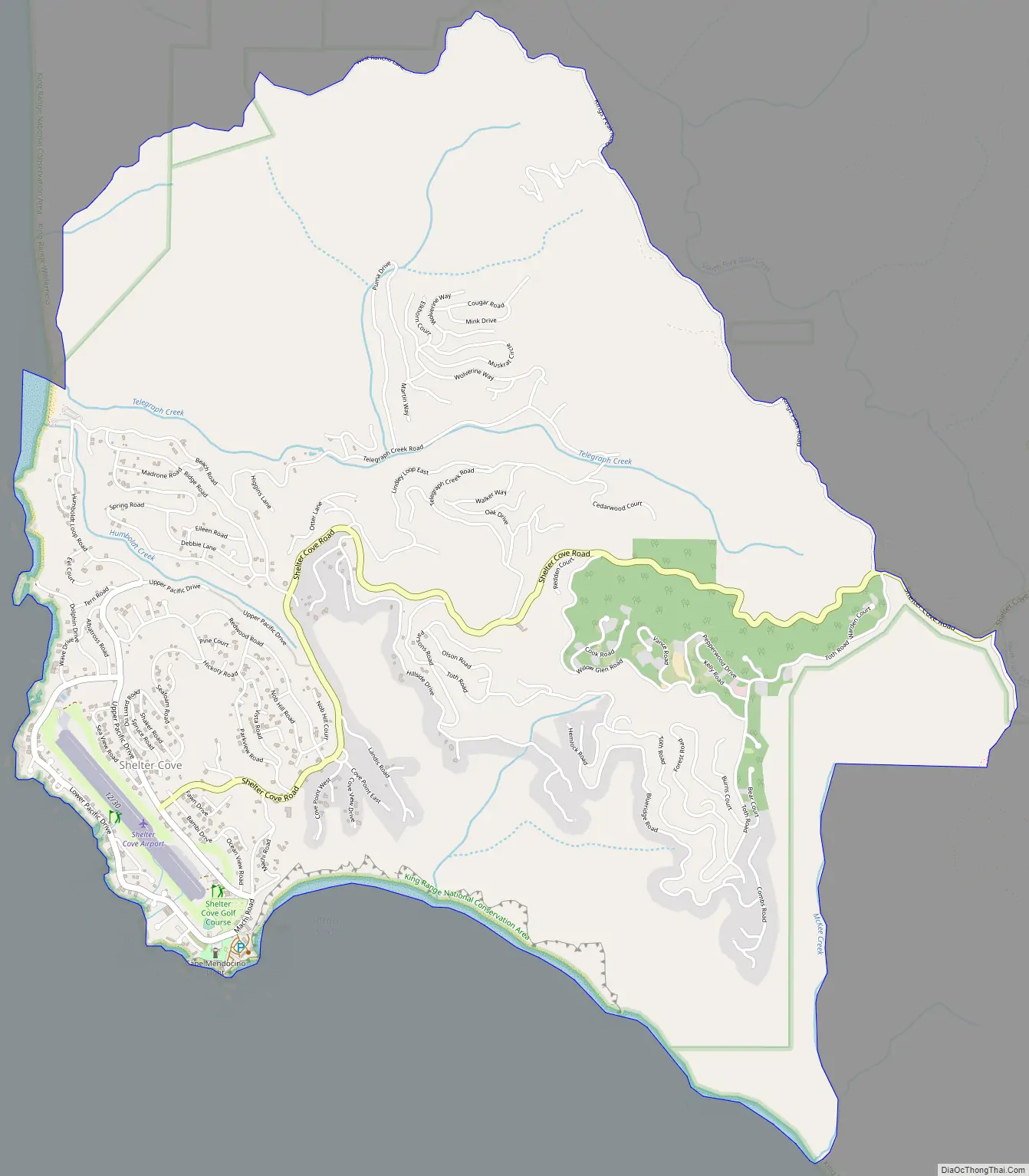
Shelter Cove Road Map
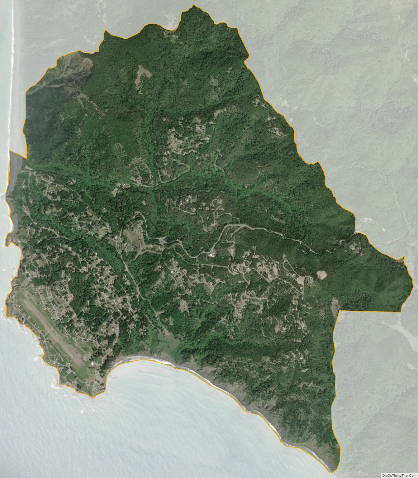
Shelter Cove city Satellite Map
See also
Map of California State and its subdivision:- Alameda
- Alpine
- Amador
- Butte
- Calaveras
- Colusa
- Contra Costa
- Del Norte
- El Dorado
- Fresno
- Glenn
- Humboldt
- Imperial
- Inyo
- Kern
- Kings
- Lake
- Lassen
- Los Angeles
- Madera
- Marin
- Mariposa
- Mendocino
- Merced
- Modoc
- Mono
- Monterey
- Napa
- Nevada
- Orange
- Placer
- Plumas
- Riverside
- Sacramento
- San Benito
- San Bernardino
- San Diego
- San Francisco
- San Joaquin
- San Luis Obispo
- San Mateo
- Santa Barbara
- Santa Clara
- Santa Cruz
- Shasta
- Sierra
- Siskiyou
- Solano
- Sonoma
- Stanislaus
- Sutter
- Tehama
- Trinity
- Tulare
- Tuolumne
- Ventura
- Yolo
- Yuba
- Alabama
- Alaska
- Arizona
- Arkansas
- California
- Colorado
- Connecticut
- Delaware
- District of Columbia
- Florida
- Georgia
- Hawaii
- Idaho
- Illinois
- Indiana
- Iowa
- Kansas
- Kentucky
- Louisiana
- Maine
- Maryland
- Massachusetts
- Michigan
- Minnesota
- Mississippi
- Missouri
- Montana
- Nebraska
- Nevada
- New Hampshire
- New Jersey
- New Mexico
- New York
- North Carolina
- North Dakota
- Ohio
- Oklahoma
- Oregon
- Pennsylvania
- Rhode Island
- South Carolina
- South Dakota
- Tennessee
- Texas
- Utah
- Vermont
- Virginia
- Washington
- West Virginia
- Wisconsin
- Wyoming


