Smartsville is a census-designated place in Yuba County, California, United States, in the foothills of the Sierra Nevada. It is one of the many historic towns in California’s gold country, and is today a California Historical Landmark. Located at an altitude of 669 feet (204 m), Smartsville lies about 15 miles (24 km) east-northeast of Marysville, along State Route 20. The population was 177 at the 2010 census.
| Name: | Smartsville CDP |
|---|---|
| LSAD Code: | 57 |
| LSAD Description: | CDP (suffix) |
| State: | California |
| County: | Yuba County |
| Elevation: | 669 ft (204 m) |
| Total Area: | 0.717 sq mi (1.857 km²) |
| Land Area: | 0.717 sq mi (1.857 km²) |
| Water Area: | 0 sq mi (0 km²) 0% |
| Total Population: | 177 |
| Population Density: | 250/sq mi (95/km²) |
| ZIP code: | 95977 |
| Area code: | 530 |
| FIPS code: | 0672282 |
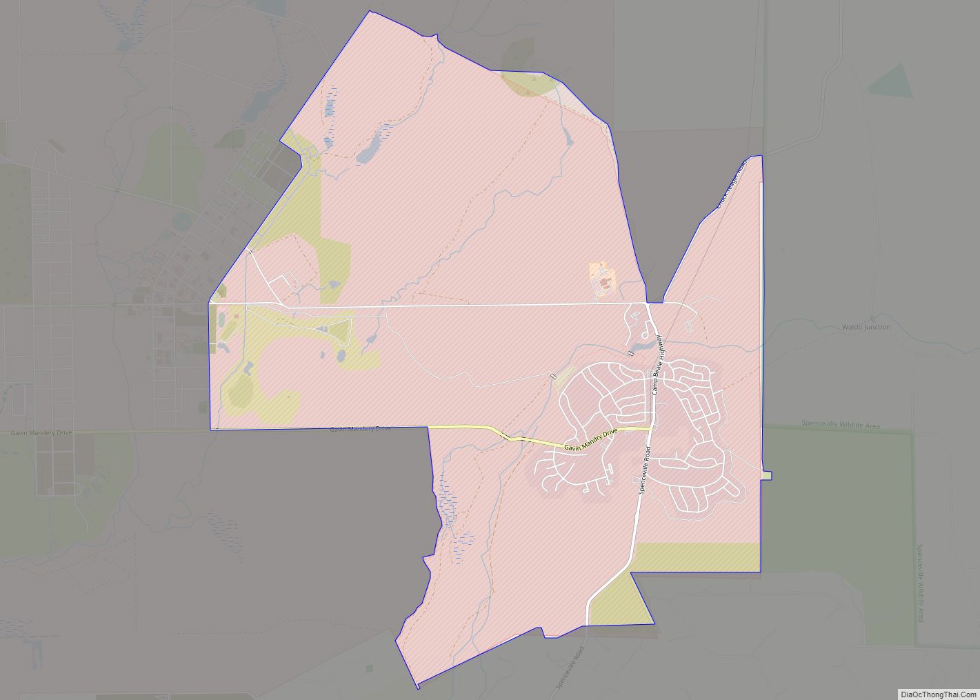
Online Interactive Map
Click on ![]() to view map in "full screen" mode.
to view map in "full screen" mode.
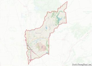
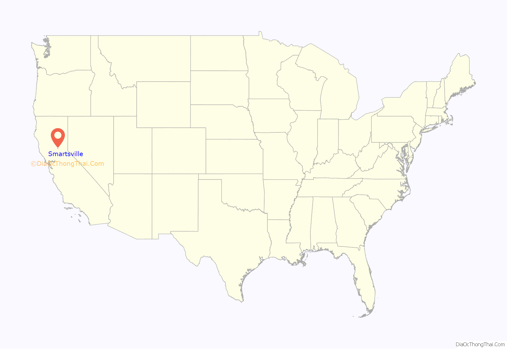
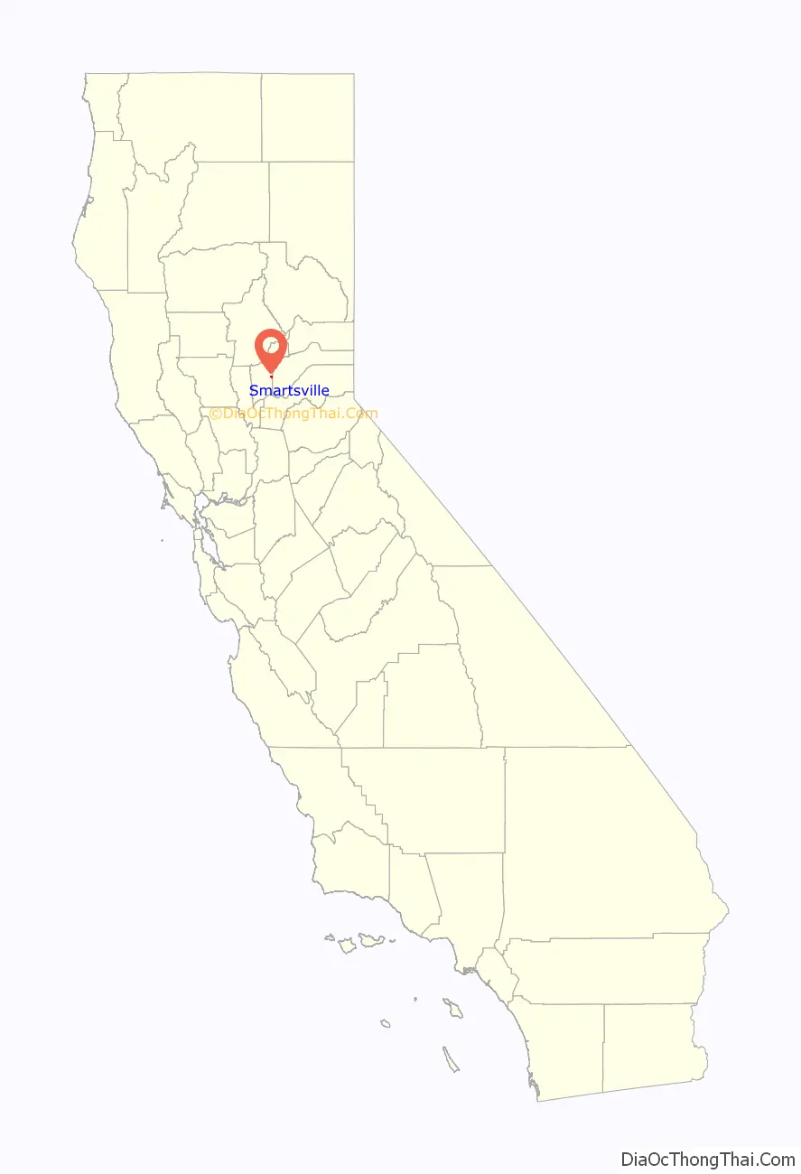
Smartsville location map. Where is Smartsville CDP?
History
Smartsville is named for James Smart, a local hotel proprietor during the days of the Gold Rush. In the spring of 1856, Smart built a hotel.
Extensive placer mining tailings remain throughout the area.
A post office was opened at Smartville in 1865. Due to a ruling by the U.S. Post Office Department (now the U.S. Postal Service), Smartsville became Smartville in 1909; this change was strengthened by a similar ruling by the United States Board on Geographic Names in 1947. In August 2008, after petitions from residents to restore the original name, the Board on Geographic Names ruled in favor of the form “Smartsville”. The town and name change were featured in an episode of California’s Gold with Huell Howser.
The Smartville Cemetery is a historic cemetery.
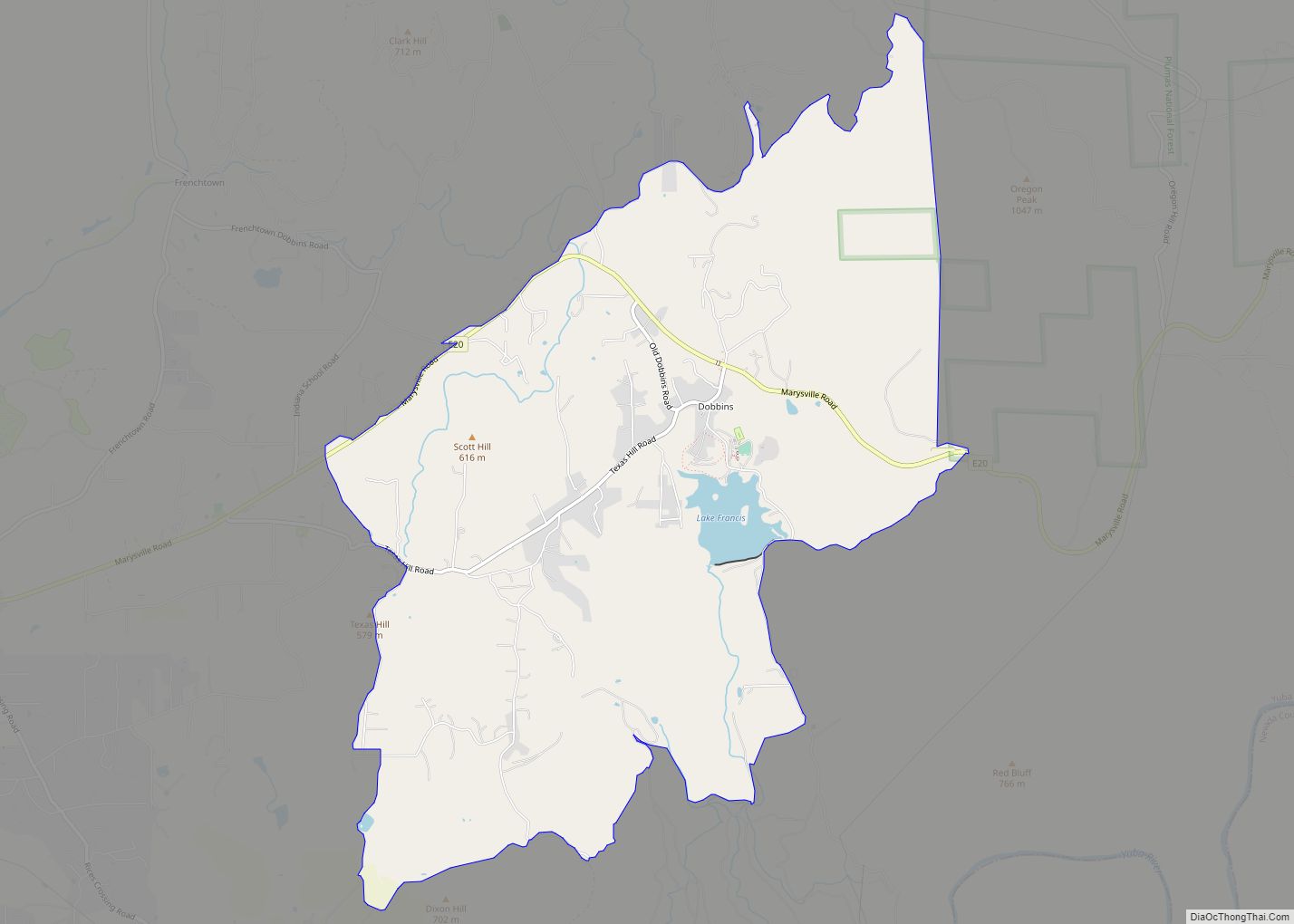
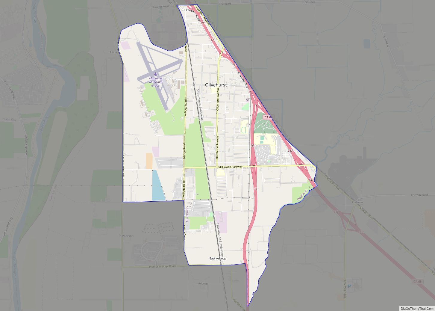
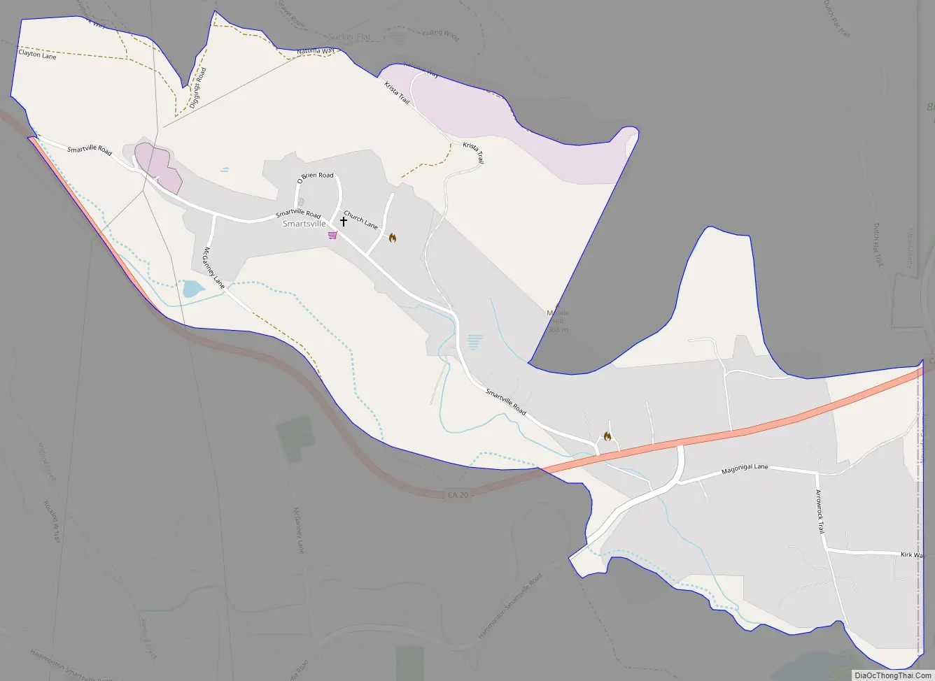
Smartsville Road Map
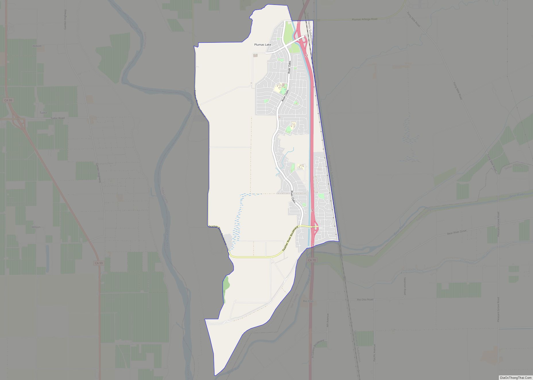
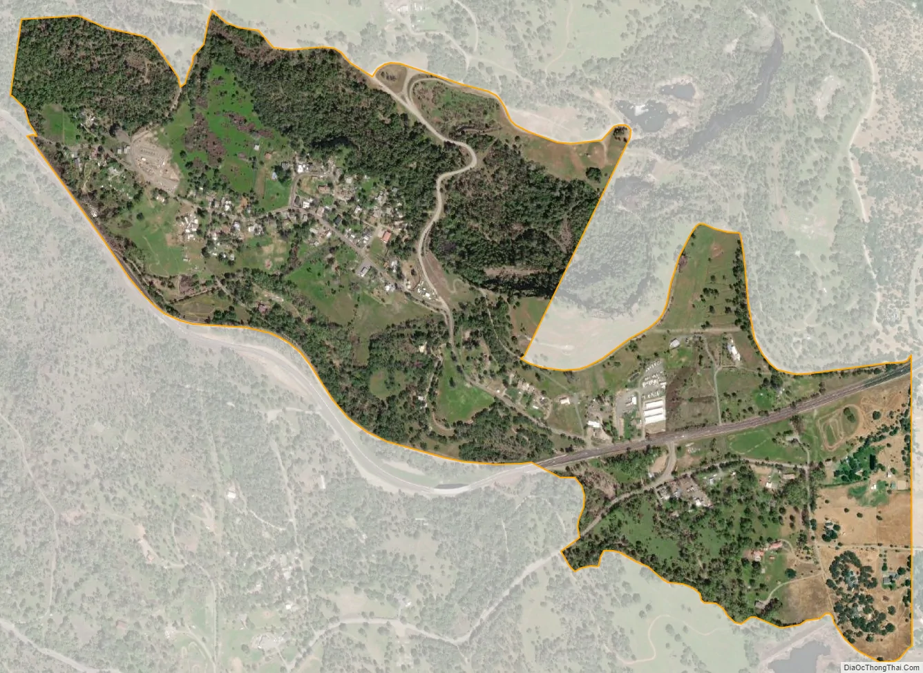
Smartsville city Satellite Map
Geography
According to the United States Census Bureau, the CDP covers an area of 0.7 square miles (1.9 km), all of it land.
Climate
According to the Köppen Climate Classification system, Smartsville has a warm-summer Mediterranean climate, abbreviated “Csa” on climate maps.
See also
Map of California State and its subdivision:- Alameda
- Alpine
- Amador
- Butte
- Calaveras
- Colusa
- Contra Costa
- Del Norte
- El Dorado
- Fresno
- Glenn
- Humboldt
- Imperial
- Inyo
- Kern
- Kings
- Lake
- Lassen
- Los Angeles
- Madera
- Marin
- Mariposa
- Mendocino
- Merced
- Modoc
- Mono
- Monterey
- Napa
- Nevada
- Orange
- Placer
- Plumas
- Riverside
- Sacramento
- San Benito
- San Bernardino
- San Diego
- San Francisco
- San Joaquin
- San Luis Obispo
- San Mateo
- Santa Barbara
- Santa Clara
- Santa Cruz
- Shasta
- Sierra
- Siskiyou
- Solano
- Sonoma
- Stanislaus
- Sutter
- Tehama
- Trinity
- Tulare
- Tuolumne
- Ventura
- Yolo
- Yuba
- Alabama
- Alaska
- Arizona
- Arkansas
- California
- Colorado
- Connecticut
- Delaware
- District of Columbia
- Florida
- Georgia
- Hawaii
- Idaho
- Illinois
- Indiana
- Iowa
- Kansas
- Kentucky
- Louisiana
- Maine
- Maryland
- Massachusetts
- Michigan
- Minnesota
- Mississippi
- Missouri
- Montana
- Nebraska
- Nevada
- New Hampshire
- New Jersey
- New Mexico
- New York
- North Carolina
- North Dakota
- Ohio
- Oklahoma
- Oregon
- Pennsylvania
- Rhode Island
- South Carolina
- South Dakota
- Tennessee
- Texas
- Utah
- Vermont
- Virginia
- Washington
- West Virginia
- Wisconsin
- Wyoming