Solana Beach (Solana, Spanish for “warm wind”) is a coastal city in San Diego County, California. Its population was at 12,941 at the 2020 U.S. Census, up from 12,867 at the 2010 Census.
| Name: | Solana Beach city |
|---|---|
| LSAD Code: | 25 |
| LSAD Description: | city (suffix) |
| State: | California |
| County: | San Diego County |
| Incorporated: | July 1, 1986 |
| Elevation: | 72 ft (22 m) |
| Land Area: | 3.41 sq mi (8.84 km²) |
| Water Area: | 0.10 sq mi (0.27 km²) 2.88% |
| Population Density: | 3,700/sq mi (1,400/km²) |
| ZIP code: | 92075 |
| Area code: | 858 |
| FIPS code: | 0672506 |
| Website: | www.ci.solana-beach.ca.us |
Online Interactive Map
Click on ![]() to view map in "full screen" mode.
to view map in "full screen" mode.
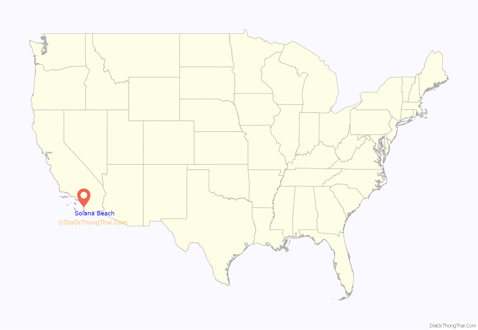
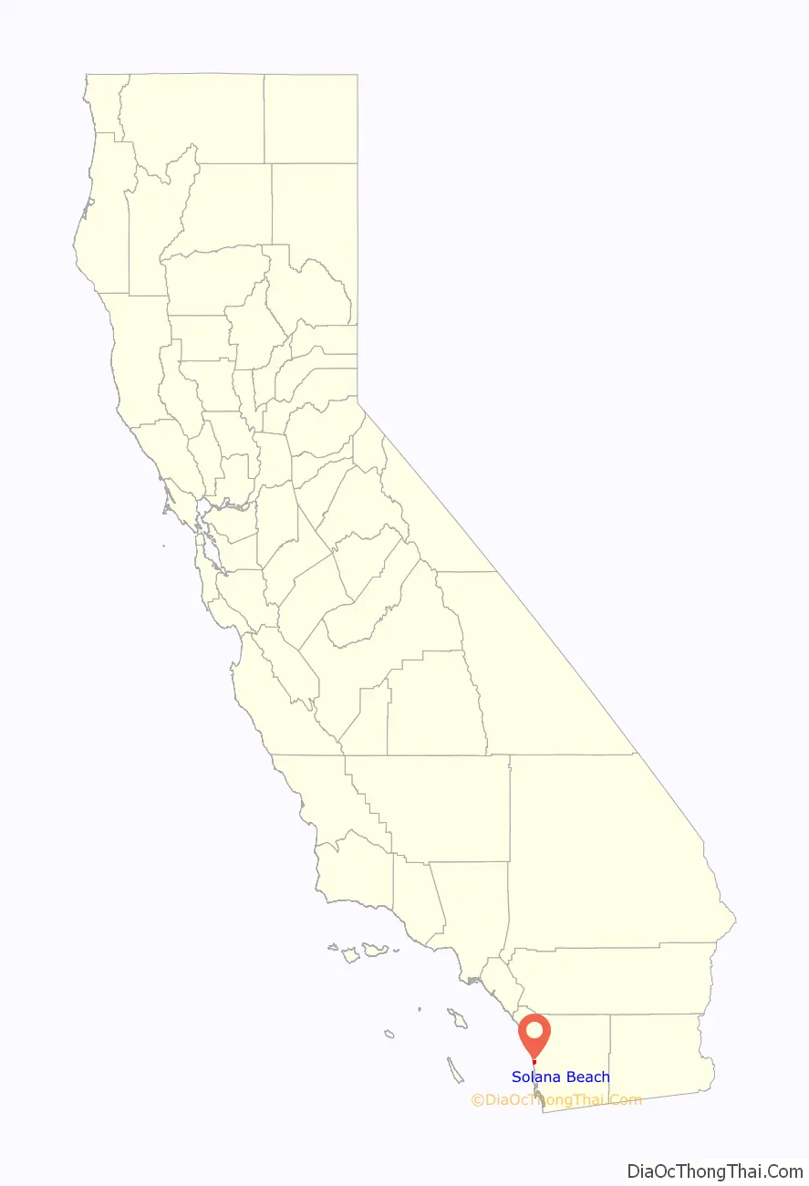
Solana Beach location map. Where is Solana Beach city?
History
The area was first settled by the San Dieguitos, early Holocene inhabitants of the area. The area was later inhabited by the Kumeyaay, who set up a village they called Kulaumai, on the southern banks of the San Elijo Lagoon. During the Spanish colonial era, trails heading north near Solana Beach crossed inland to avoid the marshes and inlets of the area.
The George H. Jones family were the first European settlers in the area, arriving in 1886. Until 1923, the area had been called Lockwood Mesa. When Lake Hodges Dam was built in 1917–1918, the area began to develop rapidly. The creation of the 12,000-acre (49 km) Santa Fe Irrigation District in 1918 ensured that the area from Rancho Santa Fe through Solana Beach would prosper and expand. The coastline from Solana Beach to Oceanside began to boom in the early 1920s. In 1922 Colonel Ed Fletcher, an early community leader and developer, purchased 140 acres (0.57 km) at $20 per acre from farmer George H. Jones to develop the town of Solana Beach, with the help of his brother-in-law Eugene Batchelder. To provide access to the beach for the development, hydraulic water pressure was used to erode away tons of earth and create the Fletcher Cove entry and beach. This took one man three months with a fire hose, using water that was coming over the spillway at Lake Hodges Dam. The beach was opened with great fanfare including horse races on the beach on July 4, 1925.
The community grew slowly, but steadily throughout the rest of the century, with particular booms occurring in the decade after World War II and a real estate boom in the last quarter of the 20th century. In 1986 the community incorporated as the city of Solana Beach. That year, the city hosted the funeral services for Desi Arnaz, who had died in Del Mar. Arnaz’s funeral was held at St. James Roman Catholic Church, one of two Catholic churches in the city and part of the Diocese of San Diego.
The city received national news coverage in 2003 upon becoming the first city in the Continental United States to enact a smoking ban on its public beaches, a trend which has continued as many other coastal California towns have followed suit in banning smoking on their beaches. Solana Beach was the last coastal community in North San Diego County to ban alcohol on the beach, doing so for at least a year in an action unanimously approved by the City Council.
On April 25, 2008, retired veterinarian and 38-year resident Dr. David Martin, 66 years old, suffered a fatal injury from an extremely rare great white shark bite while swimming with a group approximately 150 yards (140 m) off shore near Solana Beach’s Fletcher Cove. The group of swimmers reportedly began their swim at Tide Beach Park to the north. Surfers in the area of Fletcher Cover noted harbor seals in the water and a wounded seal on the beach at Fletcher Cove just before the attack, the latter being a typical sign of sharks feeding in the area. Recent increases in the seal population along the Southern California coast — and the seals’ tendency to swim in close proximity to human swimmers — are suspected to be contributing factors in the attack.
Eden Gardens
The neighborhood of La Colonia de Eden Gardens, also known as La Colonia and Eden Gardens, is one of the oldest residential areas of Solana Beach. The community was formed in the 1920s by Mexican farmers who were hired by the owners of large ranches in adjacent Rancho Santa Fe. These farmers wanted their families nearby, hence the formation of La Colonia (the colony). The name Eden Gardens came later from a land developer as a marketing tool. Many residents still refer to the area as La Colonia. Famous residents include Chicano rapper Lil Rob, who was born and raised in the community.
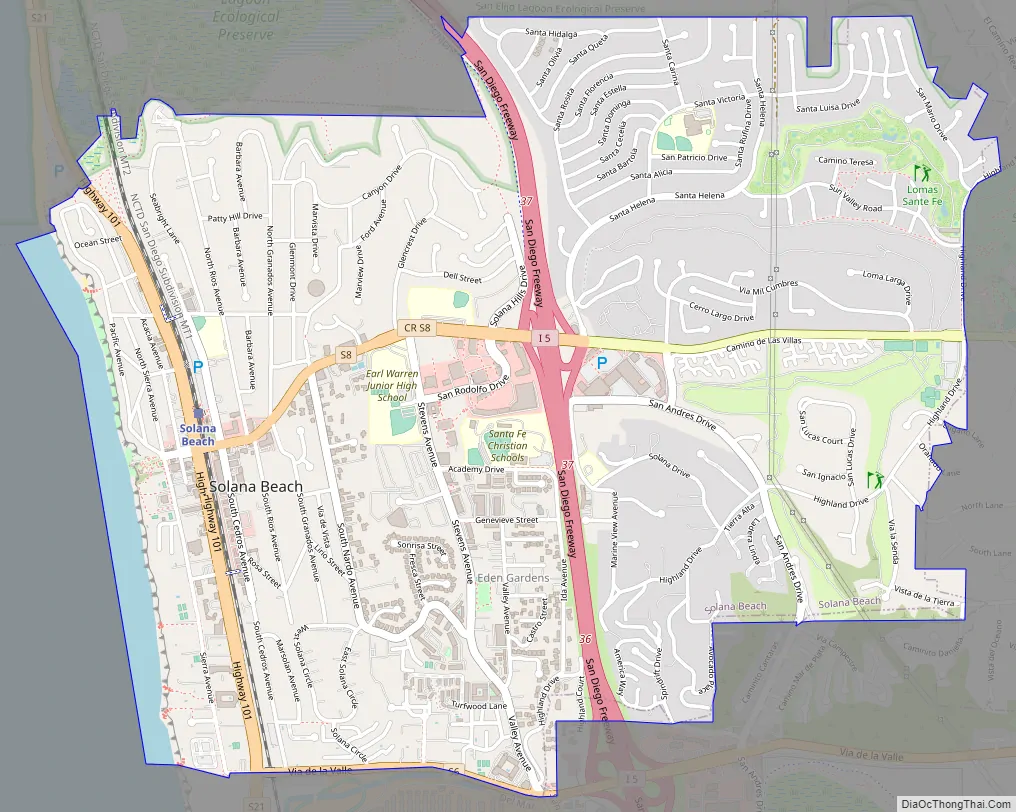
Solana Beach Road Map
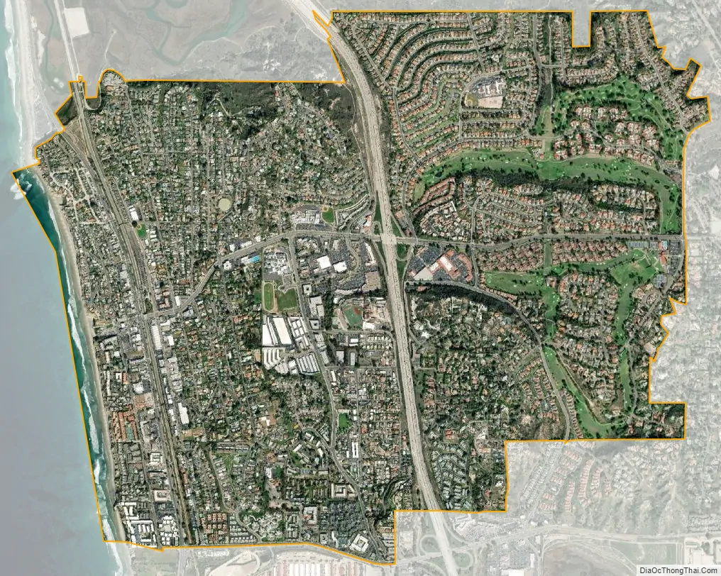
Solana Beach city Satellite Map
Geography
Before the city incorporated, the county allowed highly concentrated development of large condominiums atop the sandstone bluffs. Geologists studying erosion in period between 1947 and 1977 found little change in the face of the bluffs. It turned out this was a time of very few storms with very little erosion along the coast. The city has had to deal with bluffs collapsing onto the beach and damaging the improvements above. Owners threatened by wave and storm damage to the cliffs have few options.
The Pacific Ocean is to the west; the community of Cardiff-by-the-Sea to the north, and the City of Del Mar to the south. The unincorporated village of Rancho Santa Fe is located on the east side.
Solana Beach is located at 32°59′43″N 117°15′37″W / 32.99528°N 117.26028°W / 32.99528; -117.26028 (32.992937,-117.271135).
According to the United States Census Bureau, the city has a total area of 3.6 square miles (9.3 km). 3.5 square miles (9.1 km) of it is land and 0.1 square miles (0.26 km) of it (2.88%) is water.
See also
Map of California State and its subdivision:- Alameda
- Alpine
- Amador
- Butte
- Calaveras
- Colusa
- Contra Costa
- Del Norte
- El Dorado
- Fresno
- Glenn
- Humboldt
- Imperial
- Inyo
- Kern
- Kings
- Lake
- Lassen
- Los Angeles
- Madera
- Marin
- Mariposa
- Mendocino
- Merced
- Modoc
- Mono
- Monterey
- Napa
- Nevada
- Orange
- Placer
- Plumas
- Riverside
- Sacramento
- San Benito
- San Bernardino
- San Diego
- San Francisco
- San Joaquin
- San Luis Obispo
- San Mateo
- Santa Barbara
- Santa Clara
- Santa Cruz
- Shasta
- Sierra
- Siskiyou
- Solano
- Sonoma
- Stanislaus
- Sutter
- Tehama
- Trinity
- Tulare
- Tuolumne
- Ventura
- Yolo
- Yuba
- Alabama
- Alaska
- Arizona
- Arkansas
- California
- Colorado
- Connecticut
- Delaware
- District of Columbia
- Florida
- Georgia
- Hawaii
- Idaho
- Illinois
- Indiana
- Iowa
- Kansas
- Kentucky
- Louisiana
- Maine
- Maryland
- Massachusetts
- Michigan
- Minnesota
- Mississippi
- Missouri
- Montana
- Nebraska
- Nevada
- New Hampshire
- New Jersey
- New Mexico
- New York
- North Carolina
- North Dakota
- Ohio
- Oklahoma
- Oregon
- Pennsylvania
- Rhode Island
- South Carolina
- South Dakota
- Tennessee
- Texas
- Utah
- Vermont
- Virginia
- Washington
- West Virginia
- Wisconsin
- Wyoming


