Soulsbyville is an unincorporated census-designated place in Tuolumne County, California. The population was 2,215 at the time of the 2010 census, up from 1,729 at the time of the 2000 census. Formerly a California Gold Rush town, Soulsbyville is now registered as a California Historical Landmark.
| Name: | Soulsbyville CDP |
|---|---|
| LSAD Code: | 57 |
| LSAD Description: | CDP (suffix) |
| State: | California |
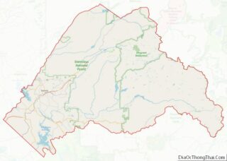
| County: | Tuolumne County |
| Elevation: | 2,930 ft (893 m) |
| Total Area: | 3.016 sq mi (7.812 km²) |
| Land Area: | 3.010 sq mi (7.796 km²) |
| Water Area: | 0.006 sq mi (0.016 km²) 0.20% |
| Total Population: | 2,215 |
| Population Density: | 730/sq mi (280/km²) |
| ZIP code: | 95372 |
| Area code: | 209 |
| FIPS code: | 0672772 |
| GNISfeature ID: | 1659818 |
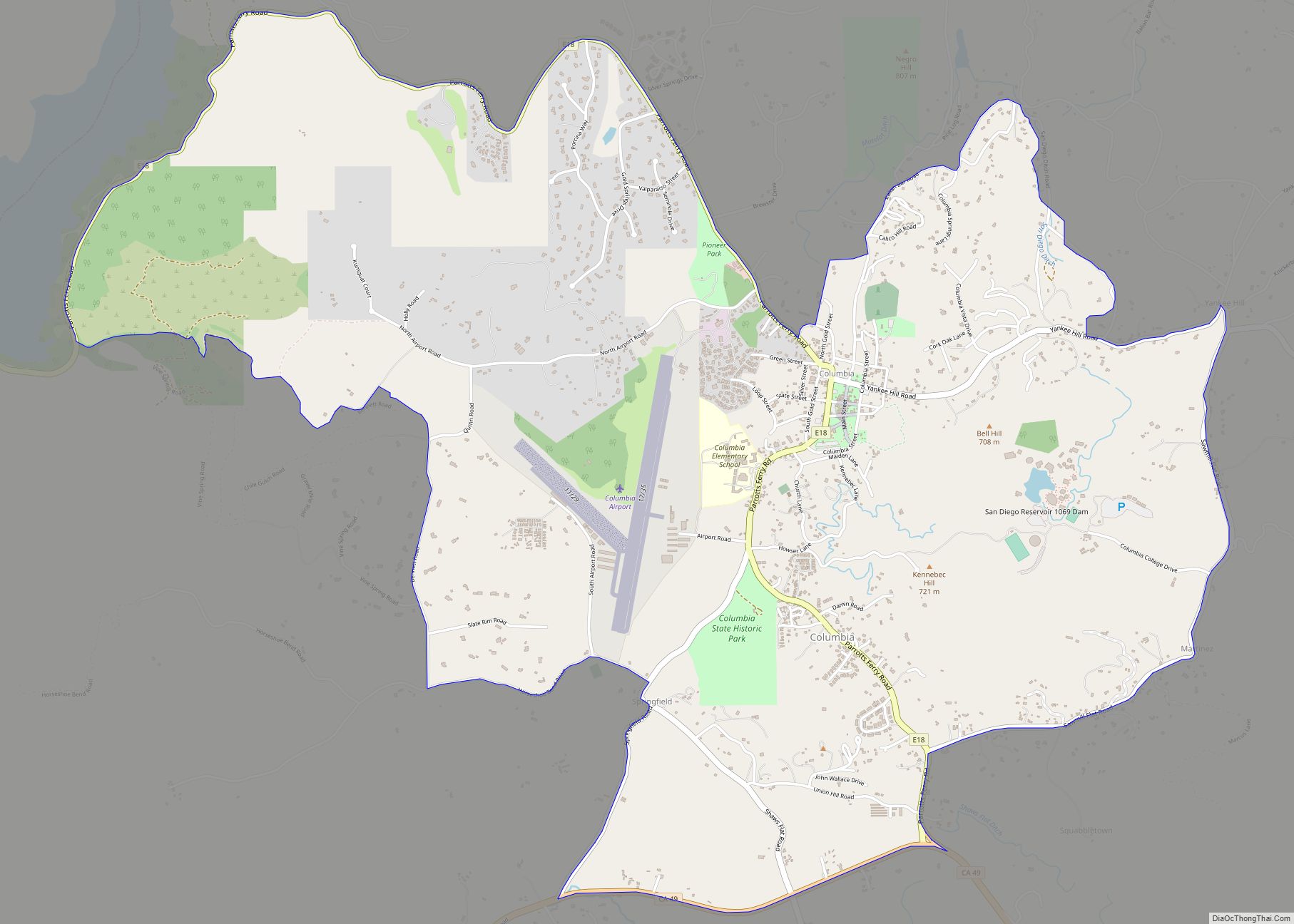
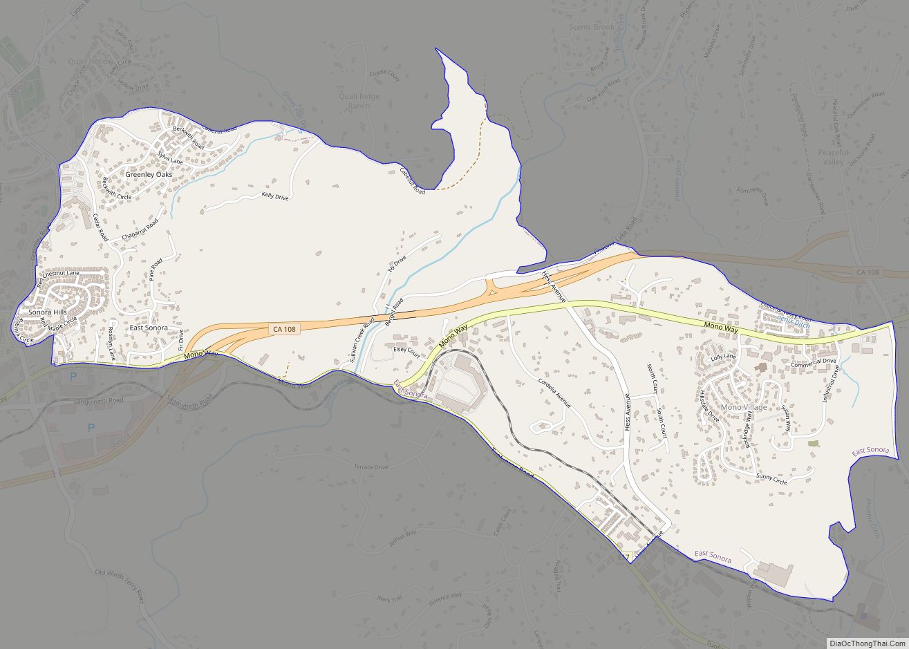
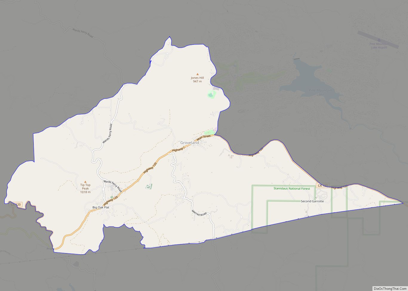
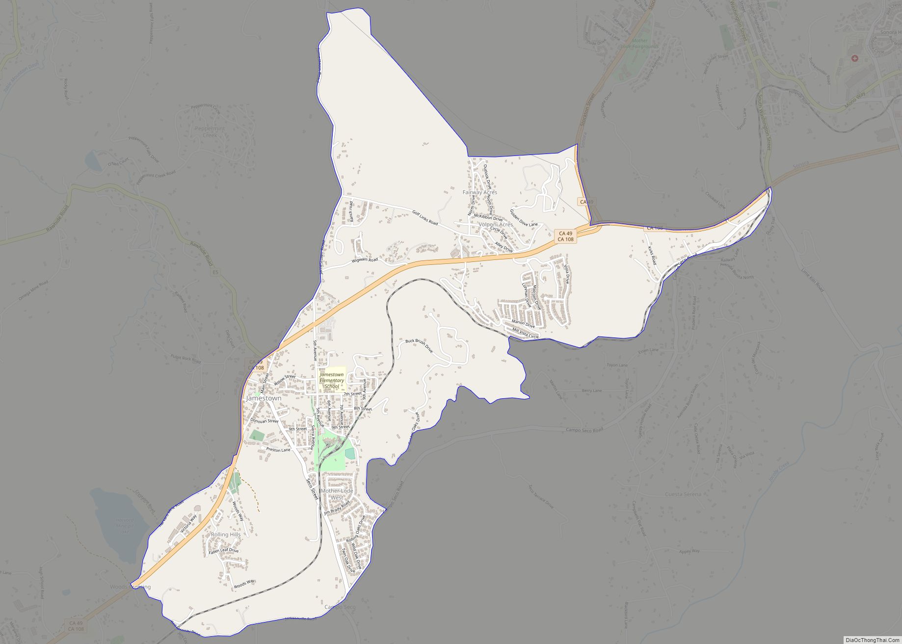
Online Interactive Map
Click on ![]() to view map in "full screen" mode.
to view map in "full screen" mode.
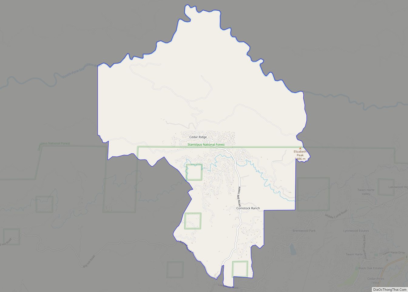
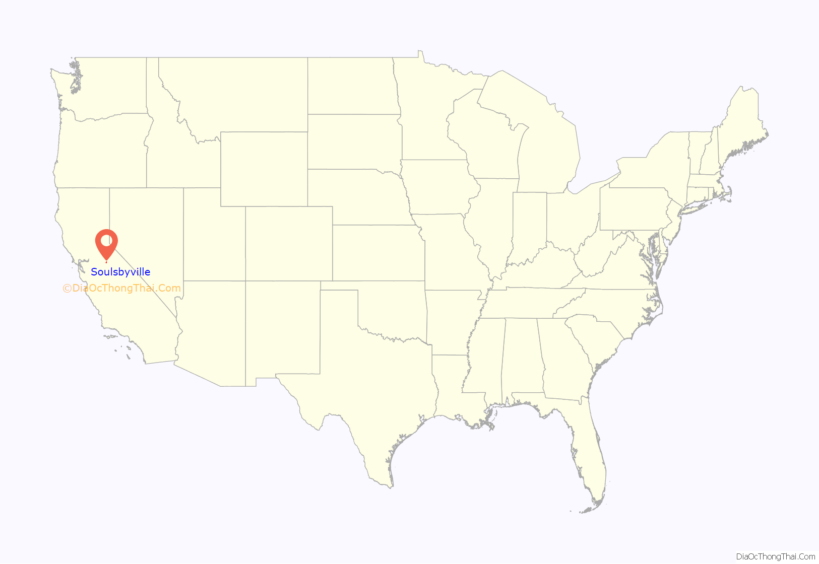
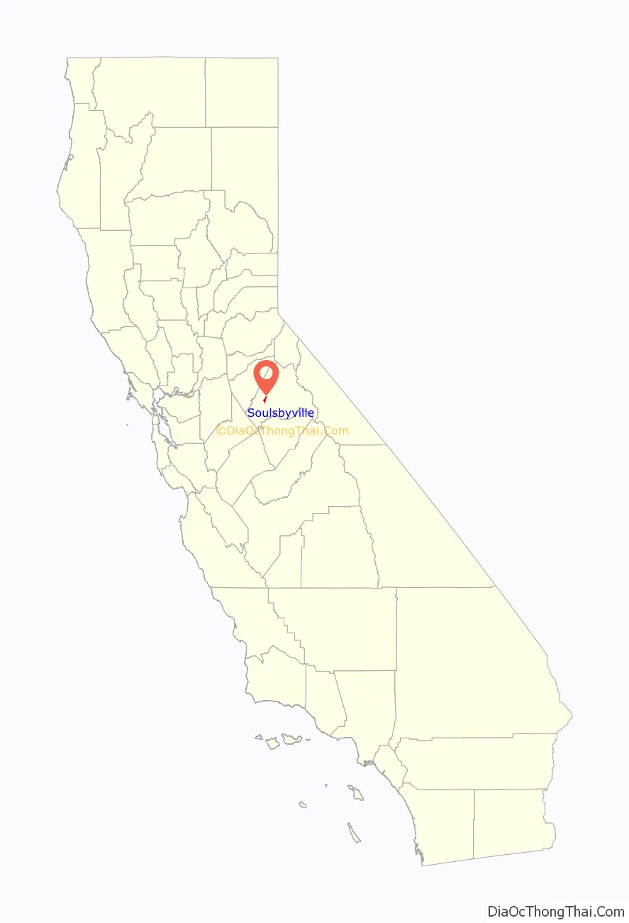
Soulsbyville location map. Where is Soulsbyville CDP?
History
Soulsbyville is named after Ben Soulsby, who resided in the area during the California Gold Rush. Soulsby discovered gold, and the mine and gold mill (and town, and school and ridge and ditch) named after him was near the intersection of Community Drive and Soulsbyville Road.
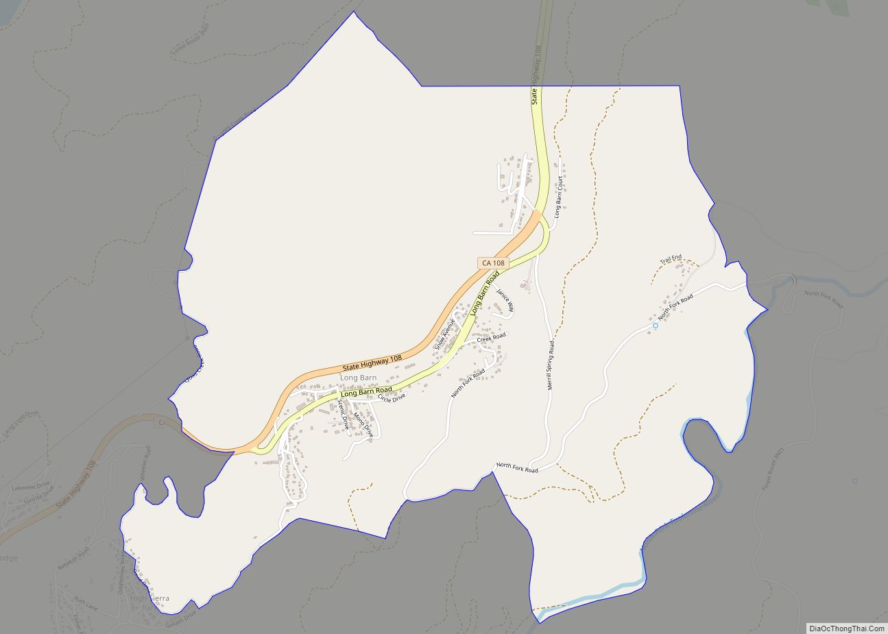
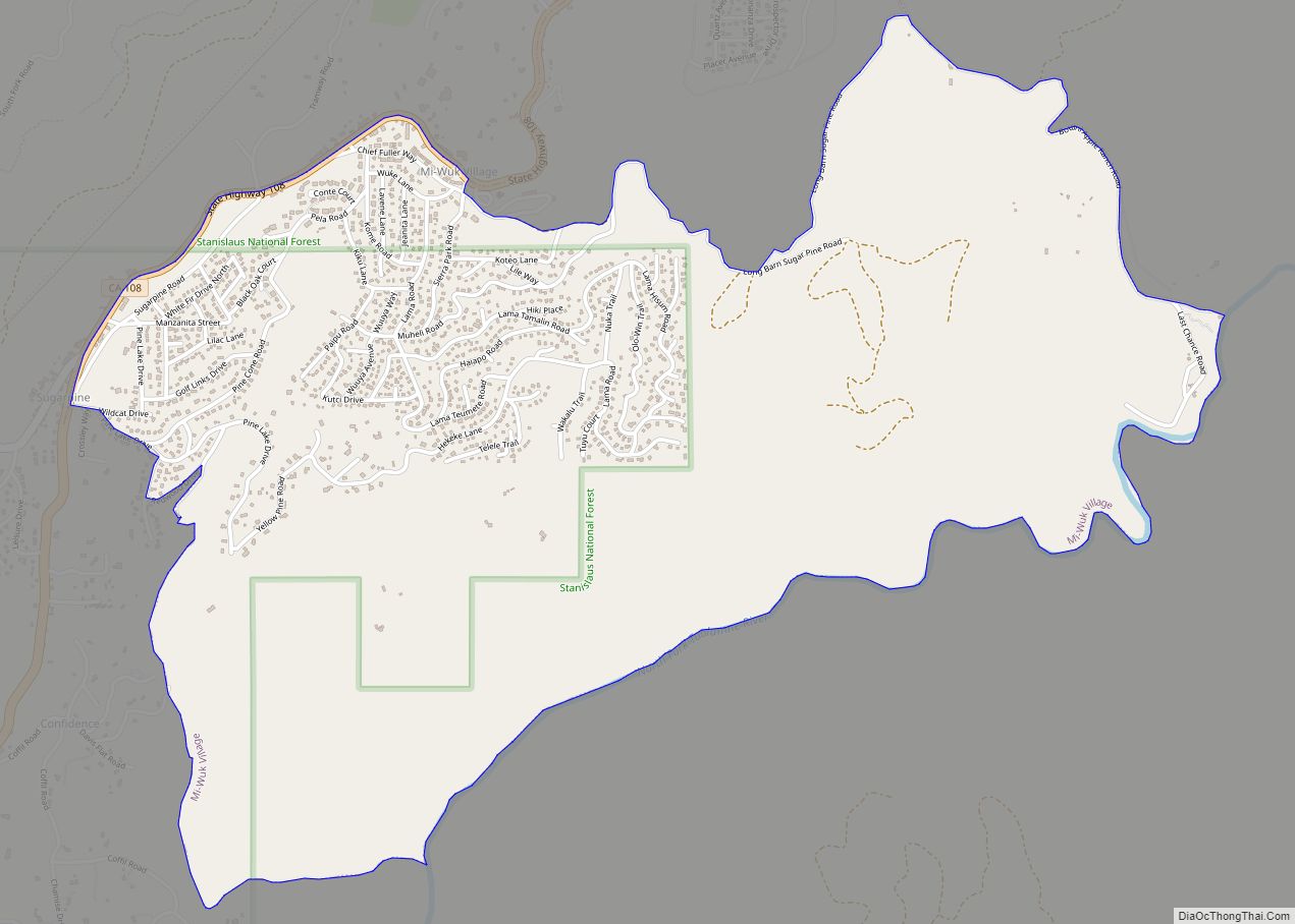
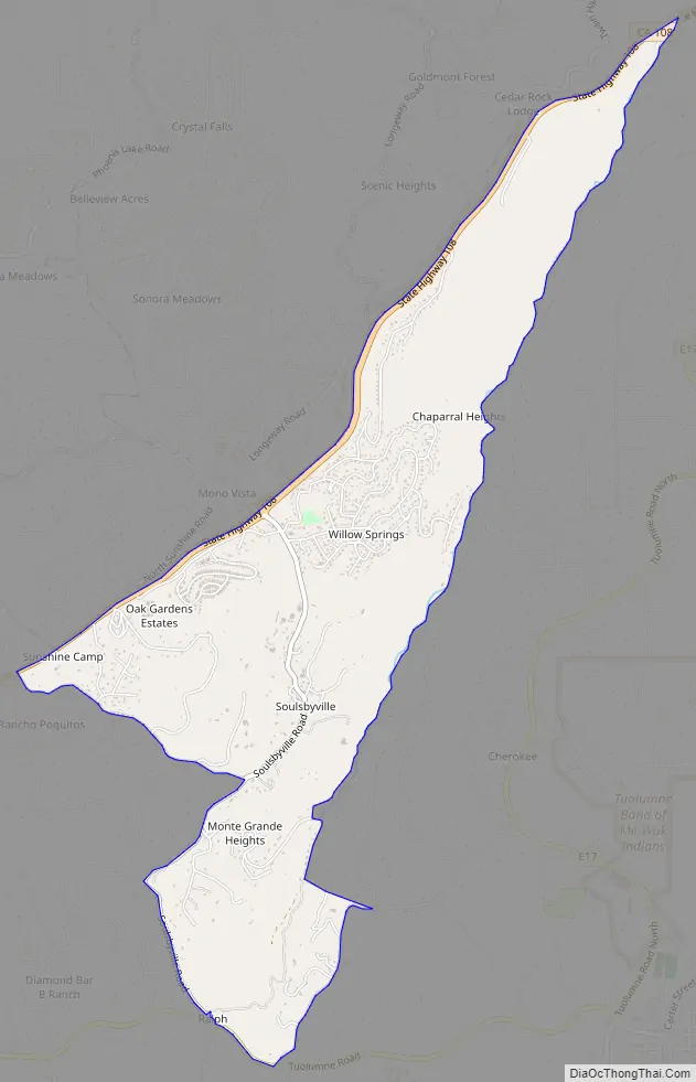
Soulsbyville Road Map
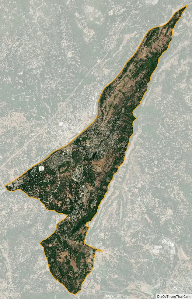
Soulsbyville city Satellite Map
Geography
Soulsbyville is located at 37°59′42″N 120°15′37″W / 37.99500°N 120.26028°W / 37.99500; -120.26028 (37.994999, -120.260258).
According to the United States Census Bureau, the community has a total area of 3.0 square miles (7.8 km), 99.80% of it land and 0.20% water.
See also
Map of California State and its subdivision:- Alameda
- Alpine
- Amador
- Butte
- Calaveras
- Colusa
- Contra Costa
- Del Norte
- El Dorado
- Fresno
- Glenn
- Humboldt
- Imperial
- Inyo
- Kern
- Kings
- Lake
- Lassen
- Los Angeles
- Madera
- Marin
- Mariposa
- Mendocino
- Merced
- Modoc
- Mono
- Monterey
- Napa
- Nevada
- Orange
- Placer
- Plumas
- Riverside
- Sacramento
- San Benito
- San Bernardino
- San Diego
- San Francisco
- San Joaquin
- San Luis Obispo
- San Mateo
- Santa Barbara
- Santa Clara
- Santa Cruz
- Shasta
- Sierra
- Siskiyou
- Solano
- Sonoma
- Stanislaus
- Sutter
- Tehama
- Trinity
- Tulare
- Tuolumne
- Ventura
- Yolo
- Yuba
- Alabama
- Alaska
- Arizona
- Arkansas
- California
- Colorado
- Connecticut
- Delaware
- District of Columbia
- Florida
- Georgia
- Hawaii
- Idaho
- Illinois
- Indiana
- Iowa
- Kansas
- Kentucky
- Louisiana
- Maine
- Maryland
- Massachusetts
- Michigan
- Minnesota
- Mississippi
- Missouri
- Montana
- Nebraska
- Nevada
- New Hampshire
- New Jersey
- New Mexico
- New York
- North Carolina
- North Dakota
- Ohio
- Oklahoma
- Oregon
- Pennsylvania
- Rhode Island
- South Carolina
- South Dakota
- Tennessee
- Texas
- Utah
- Vermont
- Virginia
- Washington
- West Virginia
- Wisconsin
- Wyoming