Spaulding (formerly Spalding Tract and Spaulding Tract) is a census-designated place in Lassen County, California. It is located on the west side of Eagle Lake, 2.1 miles (3.4 km) east-northeast of Whaleback Mountain and 3 miles (4.8 km) northeast of Eagle Lodge, at an elevation of 5138 feet (1566 m). Its population is 206 as of the 2020 census, up from 178 from the 2010 census.
In 1914, John S. Spalding laid out the town. The place was subdivided in 1924.
| Name: | Spaulding CDP |
|---|---|
| LSAD Code: | 57 |
| LSAD Description: | CDP (suffix) |
| State: | California |
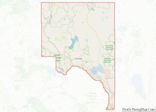
| County: | Lassen County |
| Elevation: | 5,138 ft (1,566 m) |
| Total Area: | 3.329 sq mi (8.622 km²) |
| Land Area: | 3.329 sq mi (8.622 km²) |
| Water Area: | 0 sq mi (0 km²) 0% |
| Total Population: | 206 |
| Population Density: | 62/sq mi (24/km²) |
| FIPS code: | 0673554 |
Online Interactive Map
Click on ![]() to view map in "full screen" mode.
to view map in "full screen" mode.
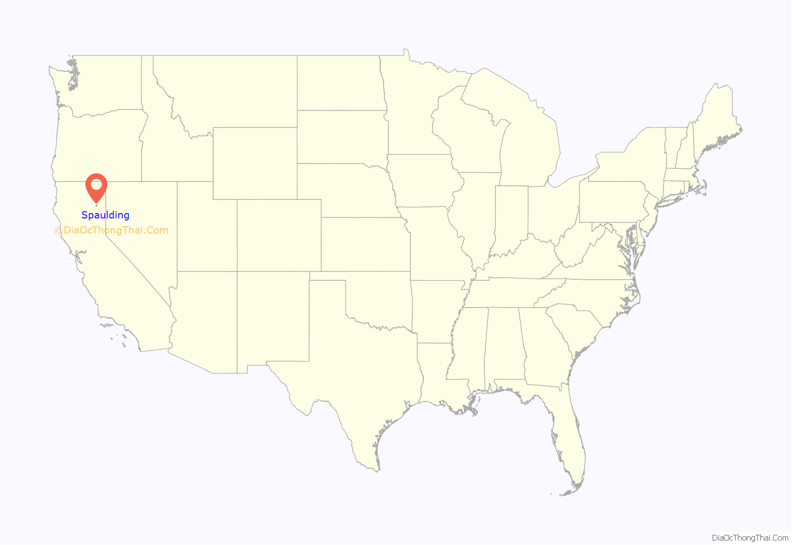
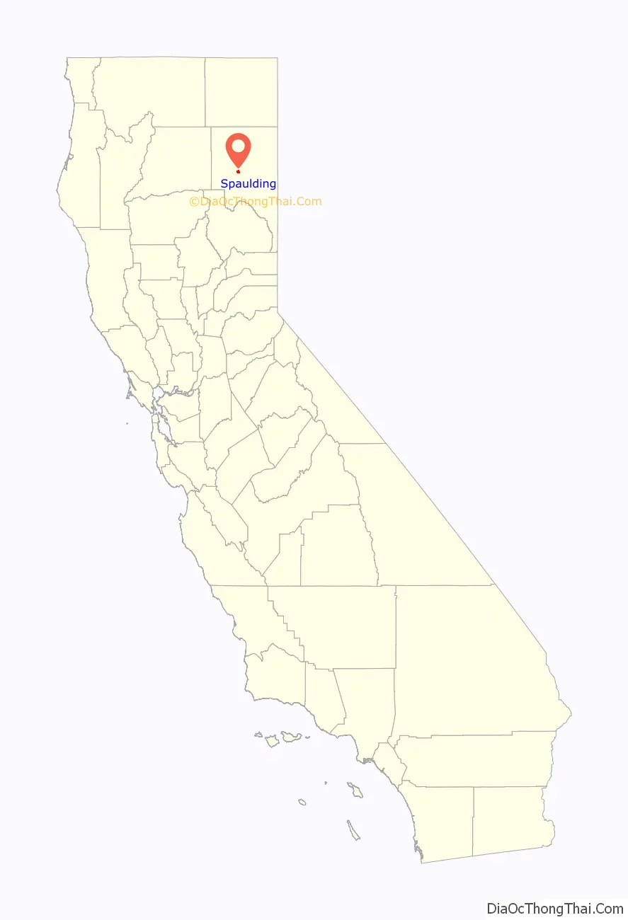
Spaulding location map. Where is Spaulding CDP?
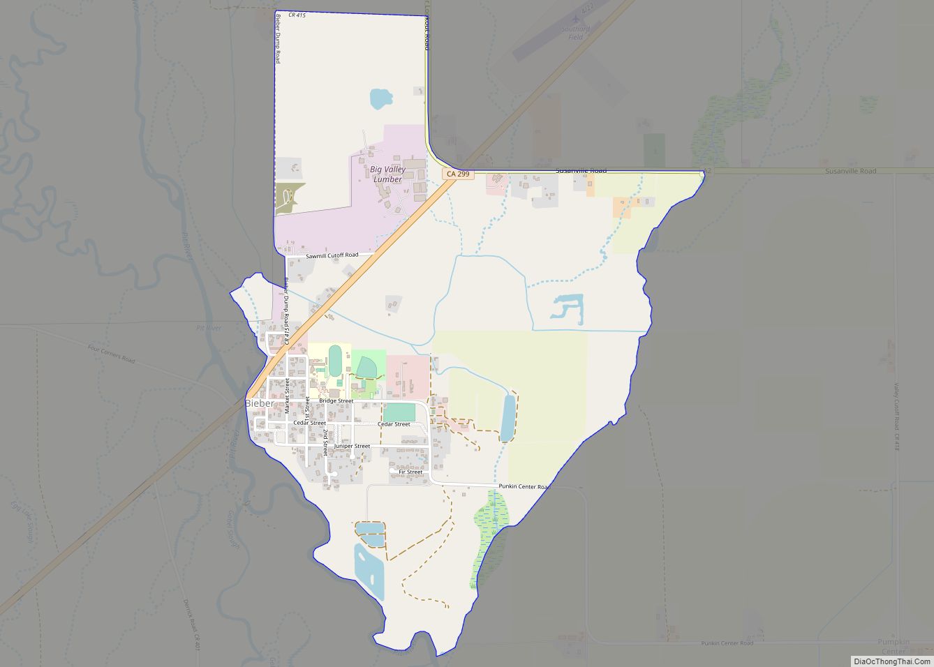
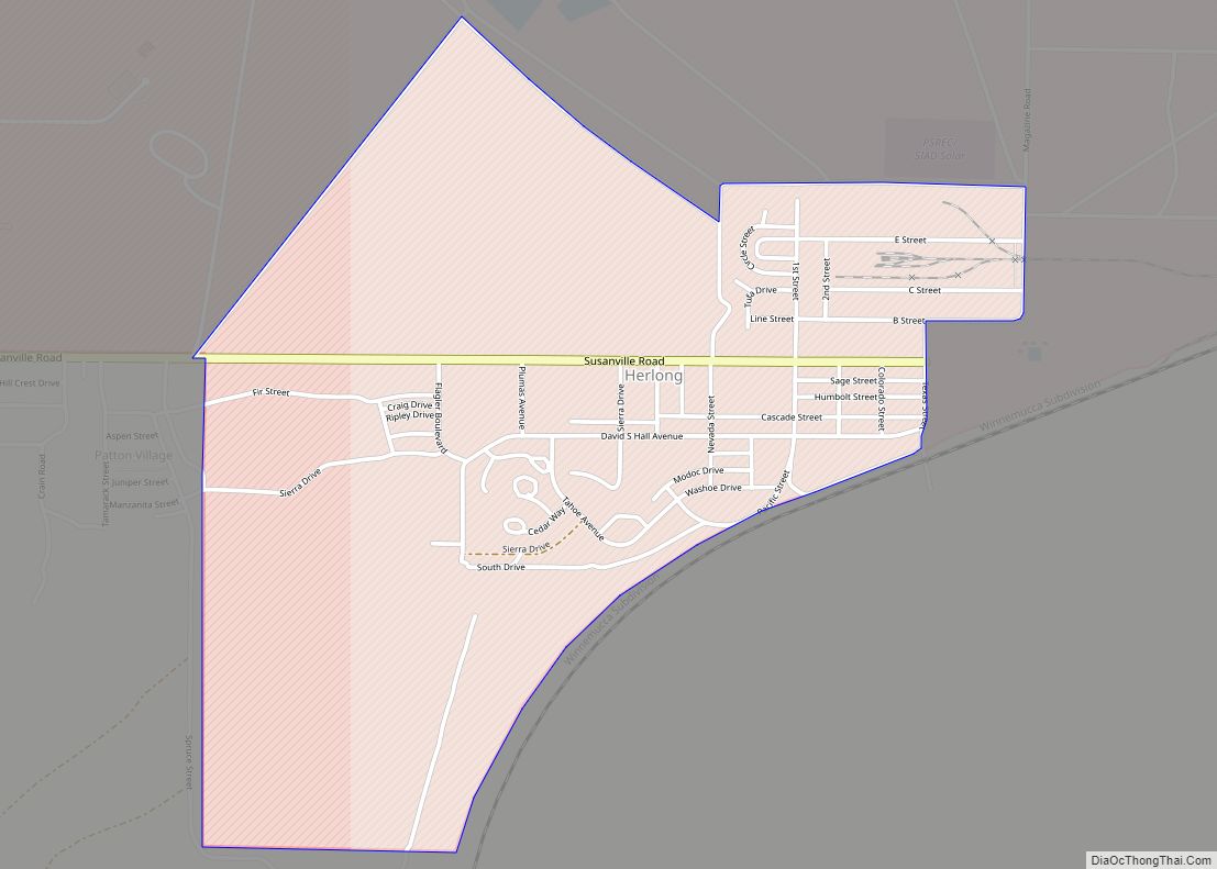
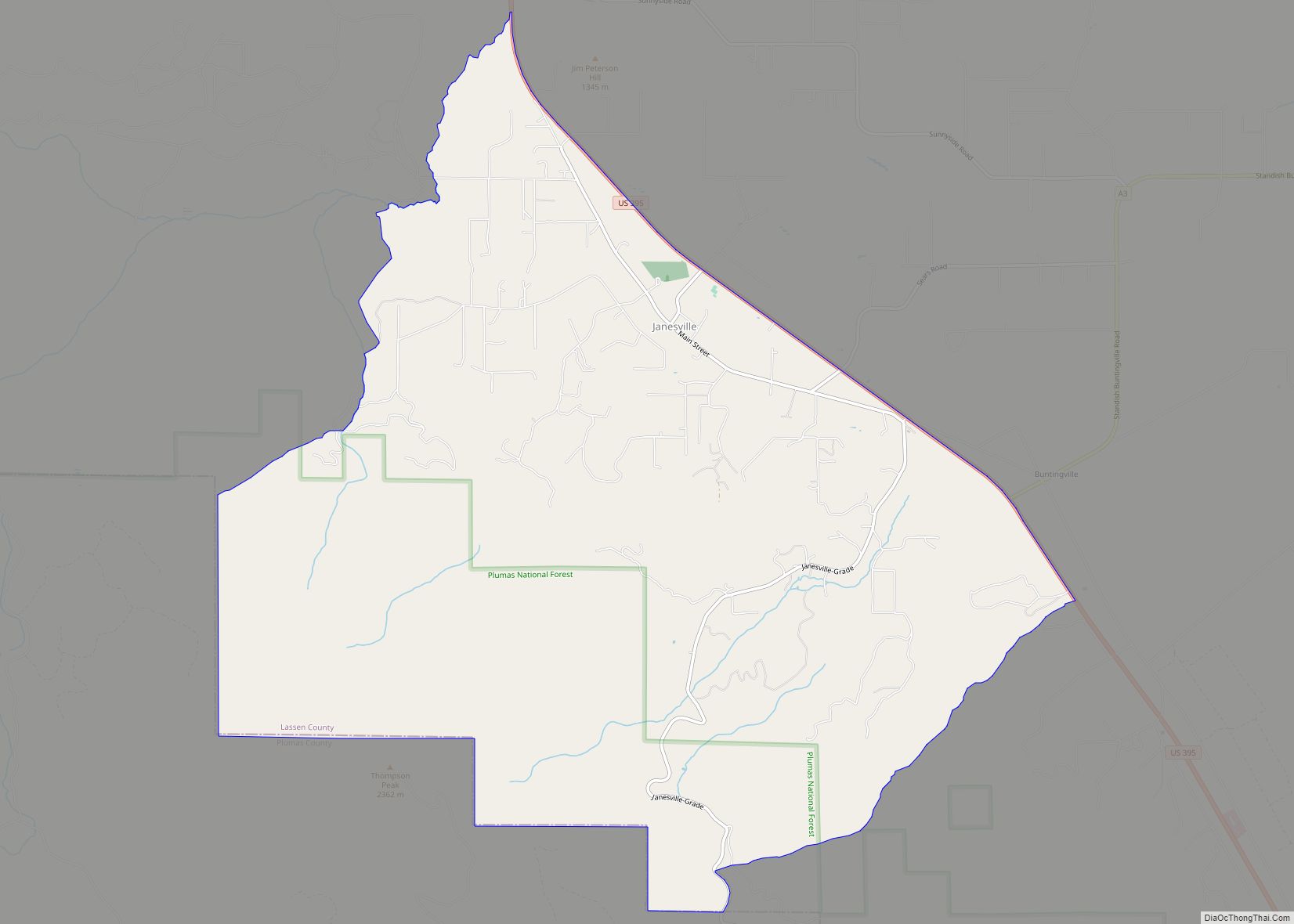
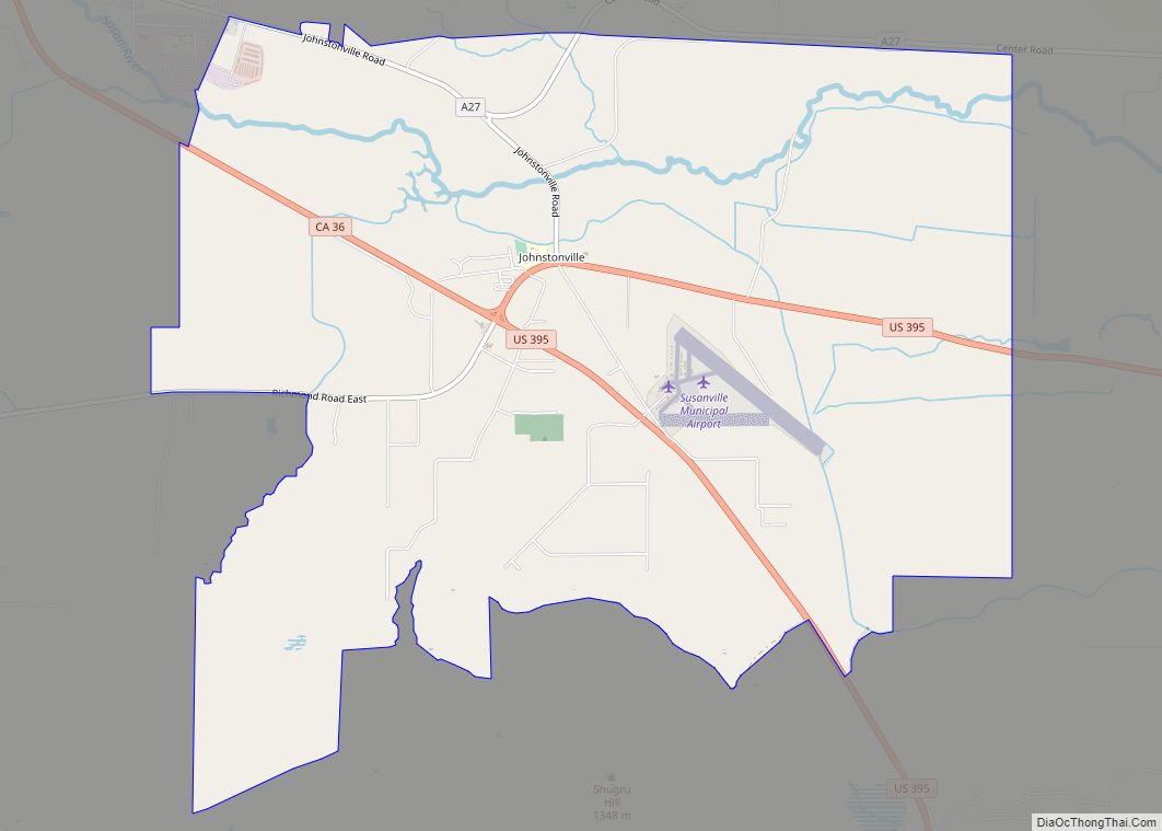
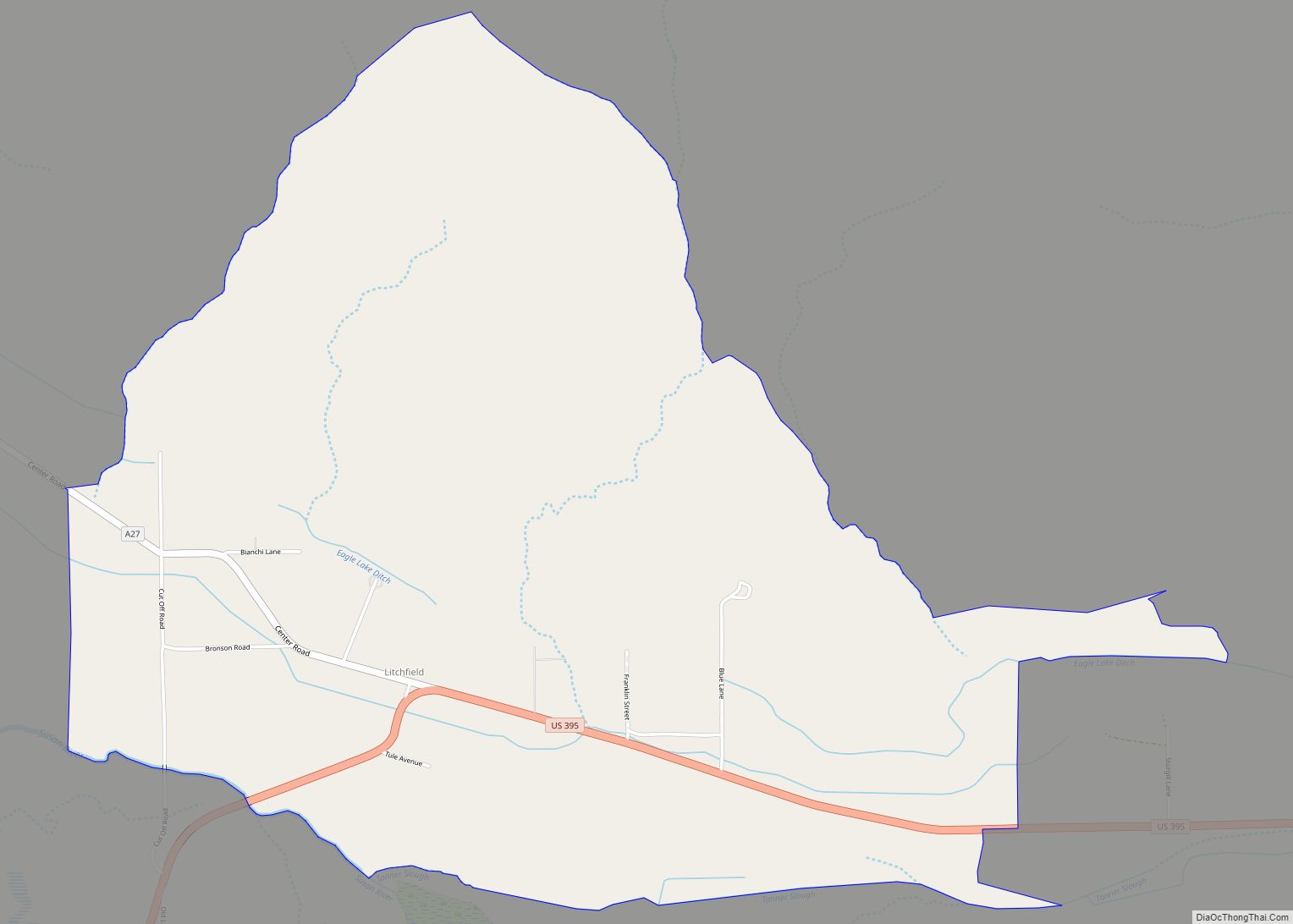
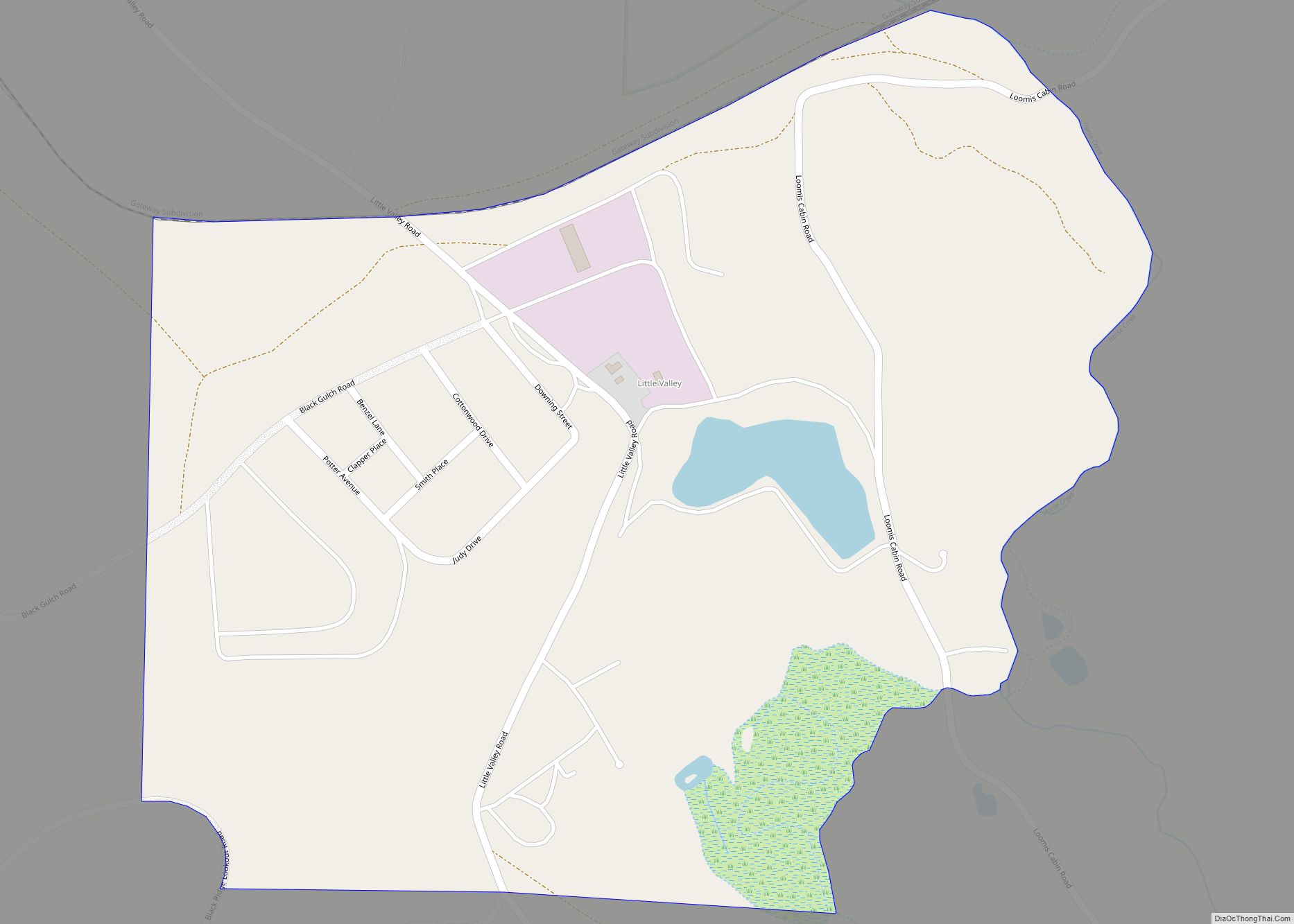
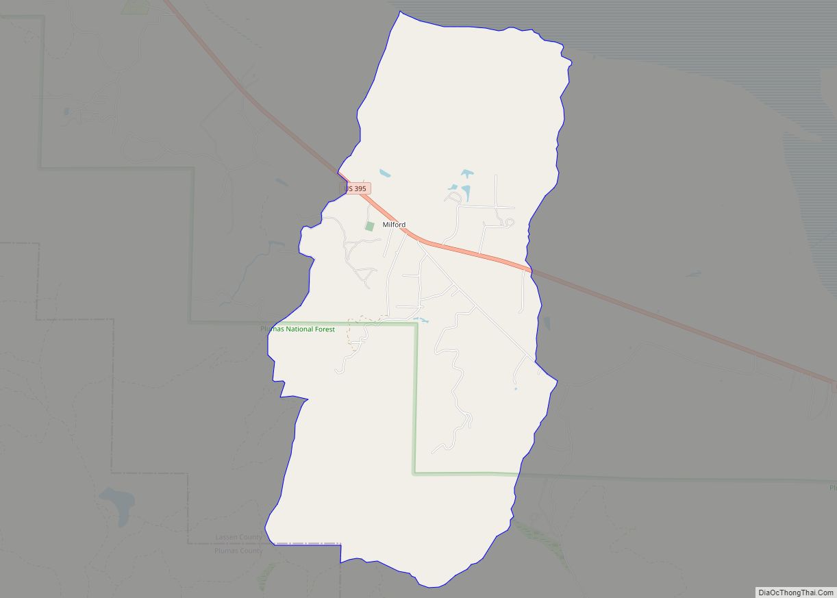
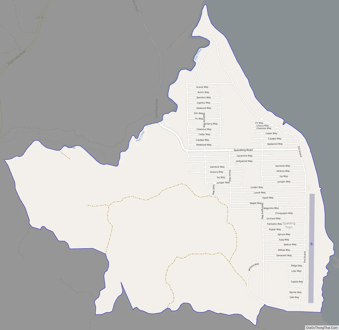
Spaulding Road Map
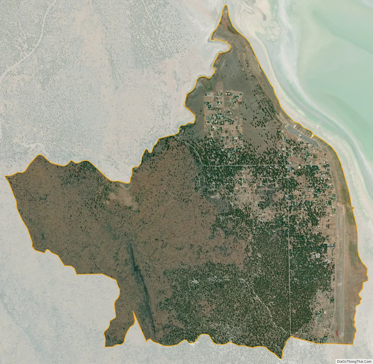
Spaulding city Satellite Map
Geography
According to the United States Census Bureau, the CDP has a total area of 3.3 square miles (8.6 km), all land.
See also
Map of California State and its subdivision:- Alameda
- Alpine
- Amador
- Butte
- Calaveras
- Colusa
- Contra Costa
- Del Norte
- El Dorado
- Fresno
- Glenn
- Humboldt
- Imperial
- Inyo
- Kern
- Kings
- Lake
- Lassen
- Los Angeles
- Madera
- Marin
- Mariposa
- Mendocino
- Merced
- Modoc
- Mono
- Monterey
- Napa
- Nevada
- Orange
- Placer
- Plumas
- Riverside
- Sacramento
- San Benito
- San Bernardino
- San Diego
- San Francisco
- San Joaquin
- San Luis Obispo
- San Mateo
- Santa Barbara
- Santa Clara
- Santa Cruz
- Shasta
- Sierra
- Siskiyou
- Solano
- Sonoma
- Stanislaus
- Sutter
- Tehama
- Trinity
- Tulare
- Tuolumne
- Ventura
- Yolo
- Yuba
- Alabama
- Alaska
- Arizona
- Arkansas
- California
- Colorado
- Connecticut
- Delaware
- District of Columbia
- Florida
- Georgia
- Hawaii
- Idaho
- Illinois
- Indiana
- Iowa
- Kansas
- Kentucky
- Louisiana
- Maine
- Maryland
- Massachusetts
- Michigan
- Minnesota
- Mississippi
- Missouri
- Montana
- Nebraska
- Nevada
- New Hampshire
- New Jersey
- New Mexico
- New York
- North Carolina
- North Dakota
- Ohio
- Oklahoma
- Oregon
- Pennsylvania
- Rhode Island
- South Carolina
- South Dakota
- Tennessee
- Texas
- Utah
- Vermont
- Virginia
- Washington
- West Virginia
- Wisconsin
- Wyoming