Stinson Beach is an unincorporated community and census-designated place (CDP) in Marin County, California, on the west coast of the United States. Stinson Beach is located 2.5 miles (4 km) east-southeast of Bolinas, at an elevation of 26 feet (8 m). The population of the Stinson Beach CDP was 541 at the 2020 census.
Stinson Beach is about a 35-minute drive from the Golden Gate Bridge on California’s Highway 1. It is near important attractions such as Muir Woods National Monument, Muir Beach, and Mount Tamalpais. It has a long beach, and the cold water produces fog throughout the year.
Stinson Beach is a popular day trip for people in the San Francisco Bay Area and for tourists visiting Northern California. Although most visitors arrive by private car, Stinson Beach is linked to Marin City by a daily bus service, and the network of hiking trails around Mount Tamalpais also reaches the town. The beach is one of the cleanest in the state, and sandy, unlike the rockier neighboring beach in Bolinas.
| Name: | Stinson Beach CDP |
|---|---|
| LSAD Code: | 57 |
| LSAD Description: | CDP (suffix) |
| State: | California |
| County: | Marin County |
| Elevation: | 26 ft (8 m) |
| Total Area: | 0.892 sq mi (2.31 km²) |
| Land Area: | 0.892 sq mi (2.31 km²) |
| Water Area: | 0.0 sq mi (0 km²) 0.0% |
| Total Population: | 541 |
| Population Density: | 610/sq mi (230/km²) |
| ZIP code: | 94970 |
| FIPS code: | 0674172 |
| GNISfeature ID: | 235489 |
Online Interactive Map
Click on ![]() to view map in "full screen" mode.
to view map in "full screen" mode.
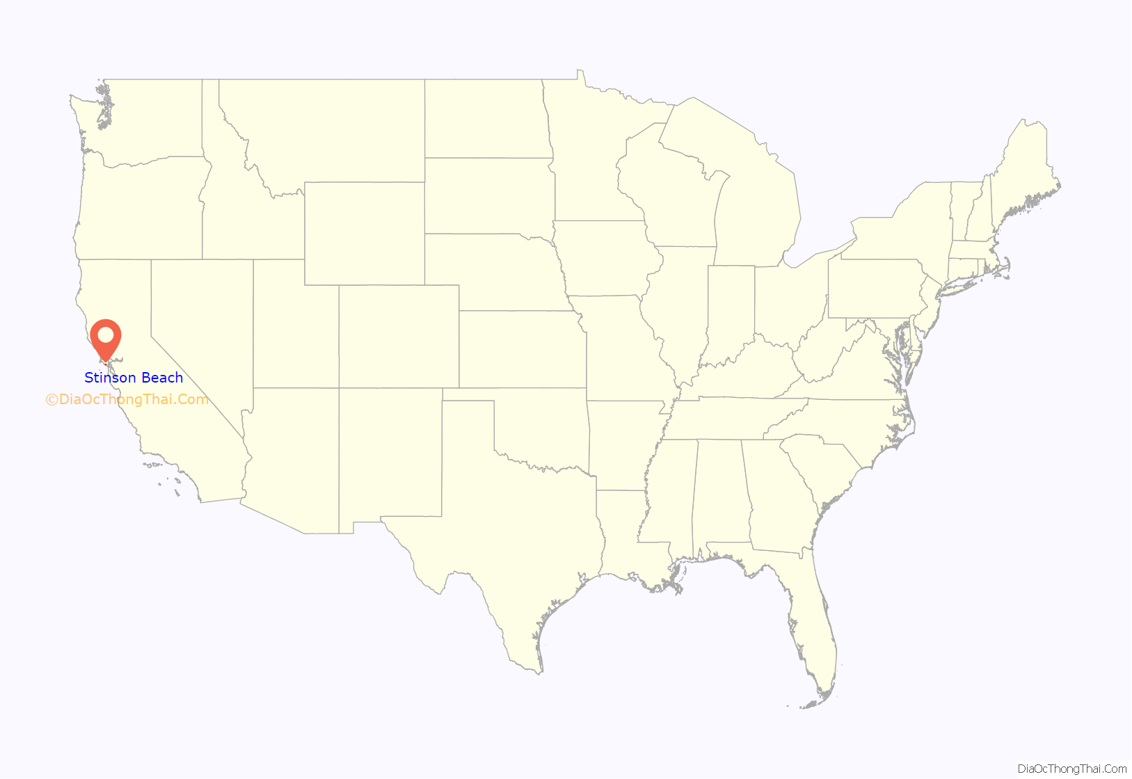
Stinson Beach location map. Where is Stinson Beach CDP?
History
Nathan H. Stinson bought land at the site in 1866.
In 1870, the first road was built along the Pacific coast from Sausalito, and a tent settlement sprang up amongst the willow trees at the beach, which gave rise to the town’s original name, Willow Camp. The Mt. Tamalpais & Muir Woods Railway opened in 1896, making Willow Camp more accessible. Visitors could ride the train to West Point Inn and then hike or arrange a stagecoach to take them to the beach. In 1906, refugees from the San Francisco earthquake came to the area and built some of the area’s first businesses. Stinson Beach became the official town name in 1916, in honor of the largest landowners, Rose and Nathan Stinson.
The first post office opened in 1916.
In 1939, the beach was sold to Marin County. It was transferred to the state of California in 1950, and was eventually transferred to the National Park Service in 1977.
In 2002, a surfer was attacked by a 12-to-15-foot-long (3.7 to 4.6 m) great white shark while surfing off Stinson Beach. The young man survived, but received more than 100 stitches to close his wounds. The attack was the second in Stinson Beach, and the 13th in Marin County since 1952. In 1998, Jonathan Kathrein was attacked by a great white shark while bodyboarding. His injury from the shark bite required over 600 stitches. The surf off Stinson Beach is within an area known as the Red Triangle, where there have been an unusually high number of shark attacks.
Marin County added 12 tsunami warning signs to the Stinson Beach shoreline in 2012 to explain the risk to beachgoers.
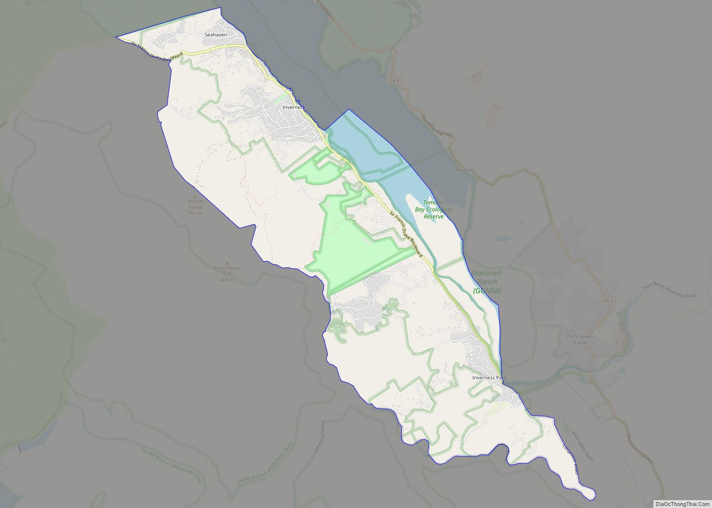
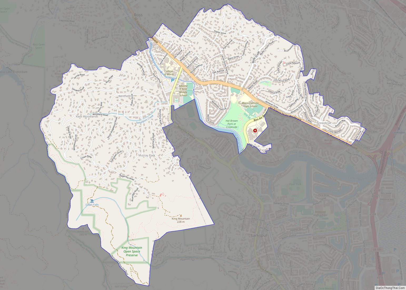
Stinson Beach Road Map
Stinson Beach city Satellite Map
Geography
Stinson Beach is located in southern Marin County at 37°54′02″N 122°38′40″W / 37.90056°N 122.64444°W / 37.90056; -122.64444, between Bolinas and Muir Beach. It is 15 miles (24 km) by road northwest of Sausalito and 20 miles (32 km) northwest of San Francisco.
The CDP has a total area of 0.89 square miles (2.31 km), all of it recorded as land.
See also
Map of California State and its subdivision:- Alameda
- Alpine
- Amador
- Butte
- Calaveras
- Colusa
- Contra Costa
- Del Norte
- El Dorado
- Fresno
- Glenn
- Humboldt
- Imperial
- Inyo
- Kern
- Kings
- Lake
- Lassen
- Los Angeles
- Madera
- Marin
- Mariposa
- Mendocino
- Merced
- Modoc
- Mono
- Monterey
- Napa
- Nevada
- Orange
- Placer
- Plumas
- Riverside
- Sacramento
- San Benito
- San Bernardino
- San Diego
- San Francisco
- San Joaquin
- San Luis Obispo
- San Mateo
- Santa Barbara
- Santa Clara
- Santa Cruz
- Shasta
- Sierra
- Siskiyou
- Solano
- Sonoma
- Stanislaus
- Sutter
- Tehama
- Trinity
- Tulare
- Tuolumne
- Ventura
- Yolo
- Yuba
- Alabama
- Alaska
- Arizona
- Arkansas
- California
- Colorado
- Connecticut
- Delaware
- District of Columbia
- Florida
- Georgia
- Hawaii
- Idaho
- Illinois
- Indiana
- Iowa
- Kansas
- Kentucky
- Louisiana
- Maine
- Maryland
- Massachusetts
- Michigan
- Minnesota
- Mississippi
- Missouri
- Montana
- Nebraska
- Nevada
- New Hampshire
- New Jersey
- New Mexico
- New York
- North Carolina
- North Dakota
- Ohio
- Oklahoma
- Oregon
- Pennsylvania
- Rhode Island
- South Carolina
- South Dakota
- Tennessee
- Texas
- Utah
- Vermont
- Virginia
- Washington
- West Virginia
- Wisconsin
- Wyoming
