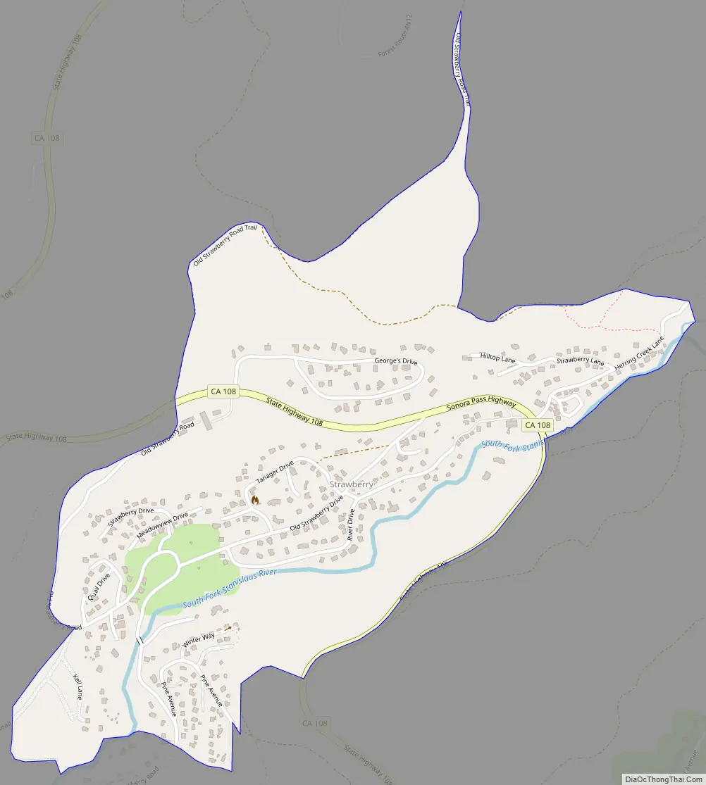
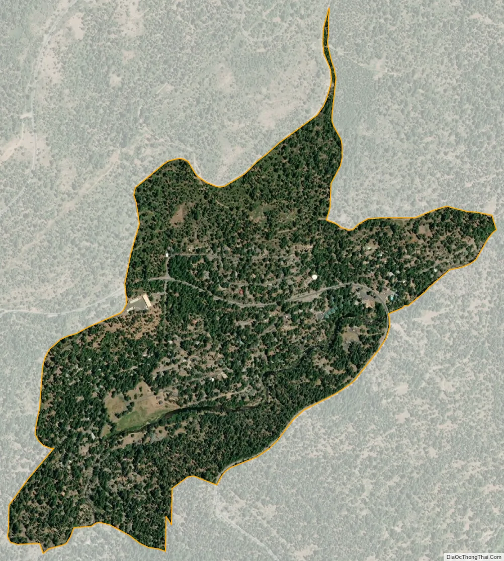
Strawberry is an unincorporated community and a census-designated place (CDP) in Tuolumne County, California. Strawberry is located on California State Route 108 10 miles (16 km) northeast of Long Barn. Strawberry has a post office with ZIP code 95375, which opened in 1949. Strawberry sits at an elevation of 5,325 feet (1,623 m). The 2010 United States census reported Strawberry’s population was 125.
| Name: | Strawberry CDP |
|---|---|
| LSAD Code: | 57 |
| LSAD Description: | CDP (suffix) |
| State: | California |
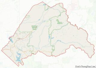
| County: | Tuolumne County |
| Elevation: | 5,325 ft (1,623 m) |
| Total Area: | 0.529 sq mi (1.372 km²) |
| Land Area: | 0.521 sq mi (1.351 km²) |
| Water Area: | 0.008 sq mi (0.021 km²) 1.56% |
| Total Population: | 125 |
| Population Density: | 240/sq mi (91/km²) |
| ZIP code: | 95375 |
| Area code: | 209 |
| FIPS code: | 0675322 |
Online Interactive Map
Click on ![]() to view map in "full screen" mode.
to view map in "full screen" mode.
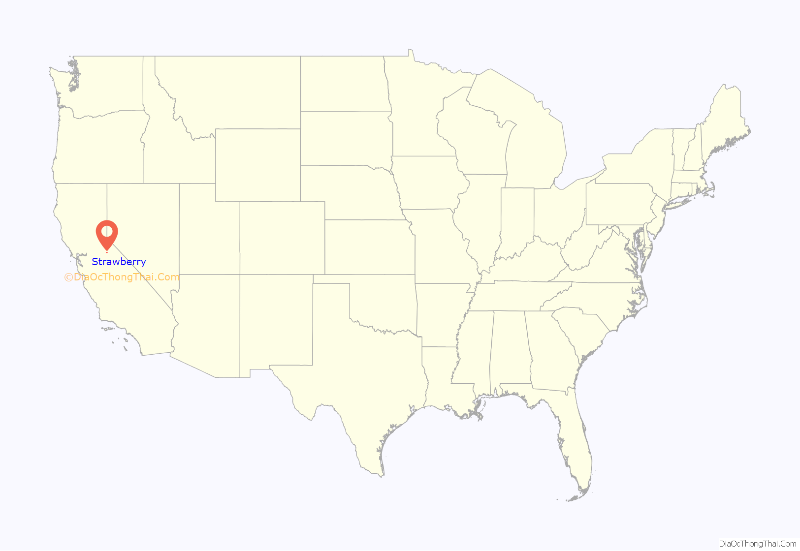
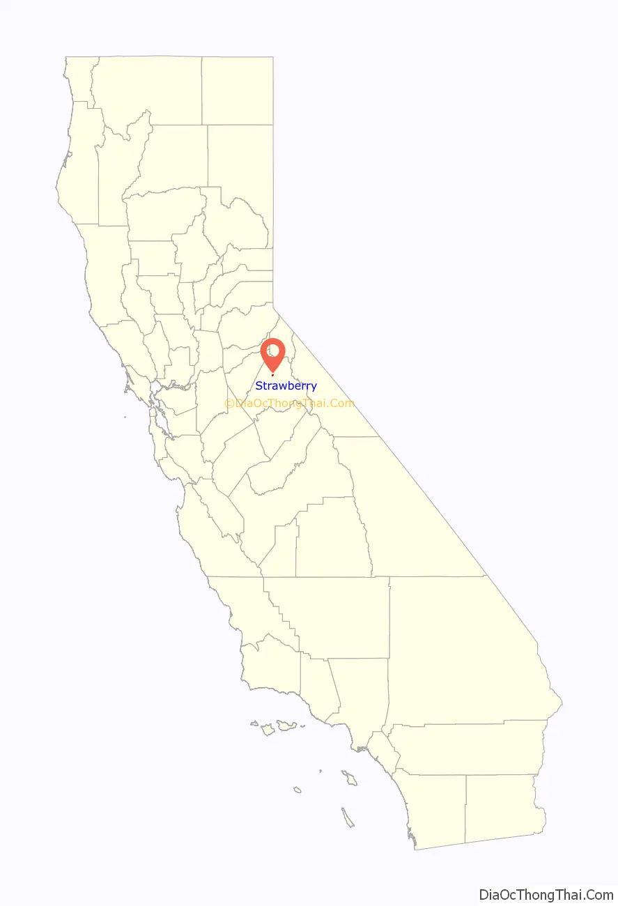
Strawberry location map. Where is Strawberry CDP?
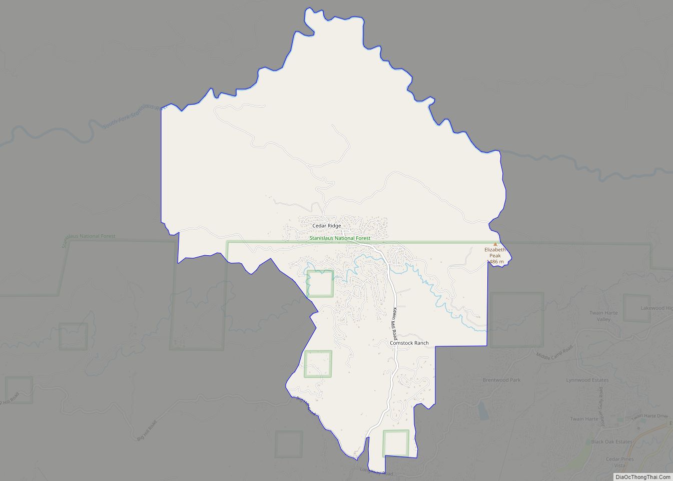
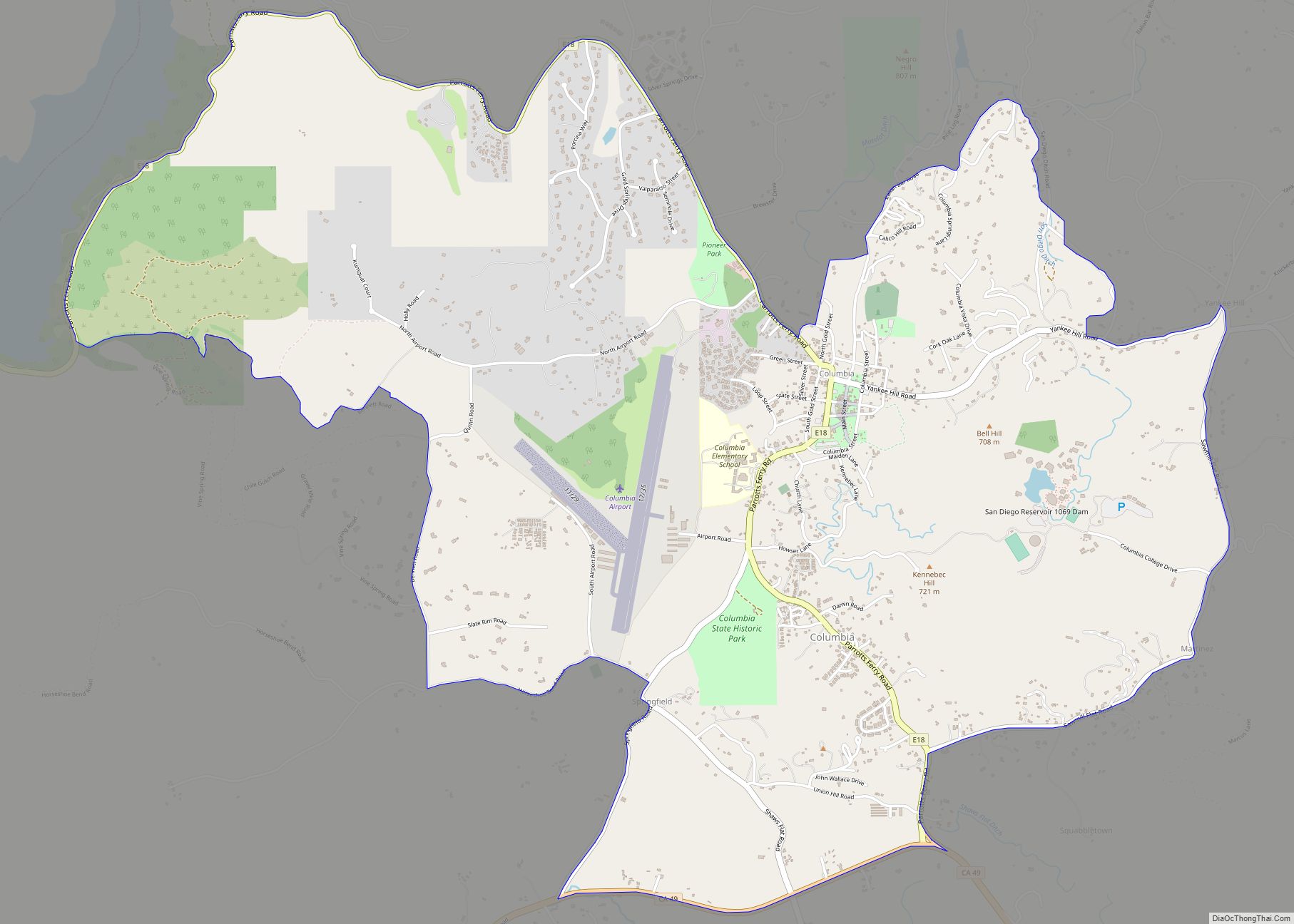
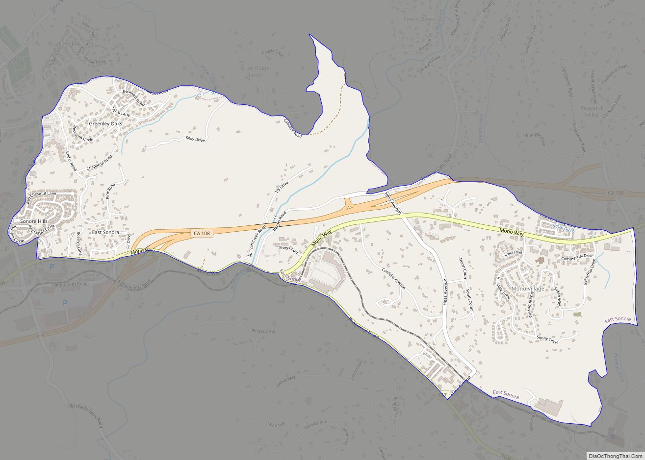
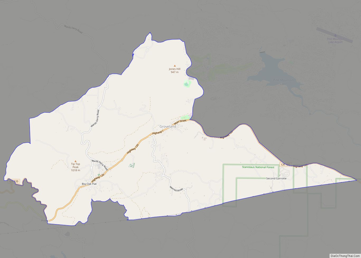
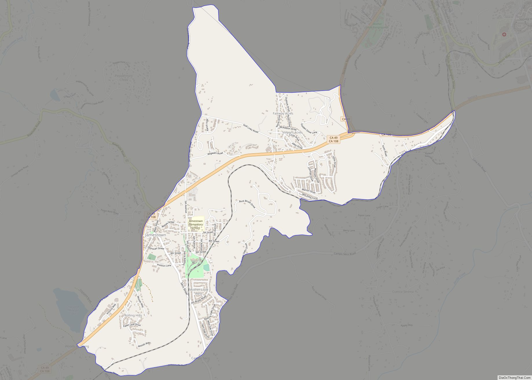
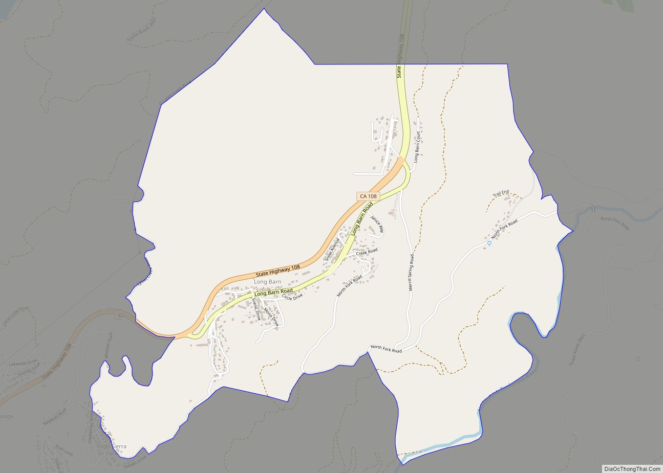
Strawberry Road Map
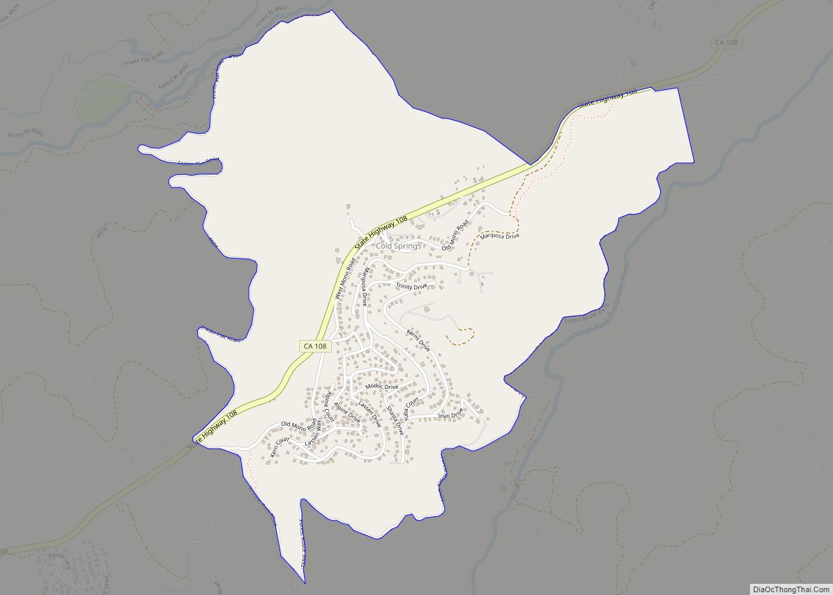
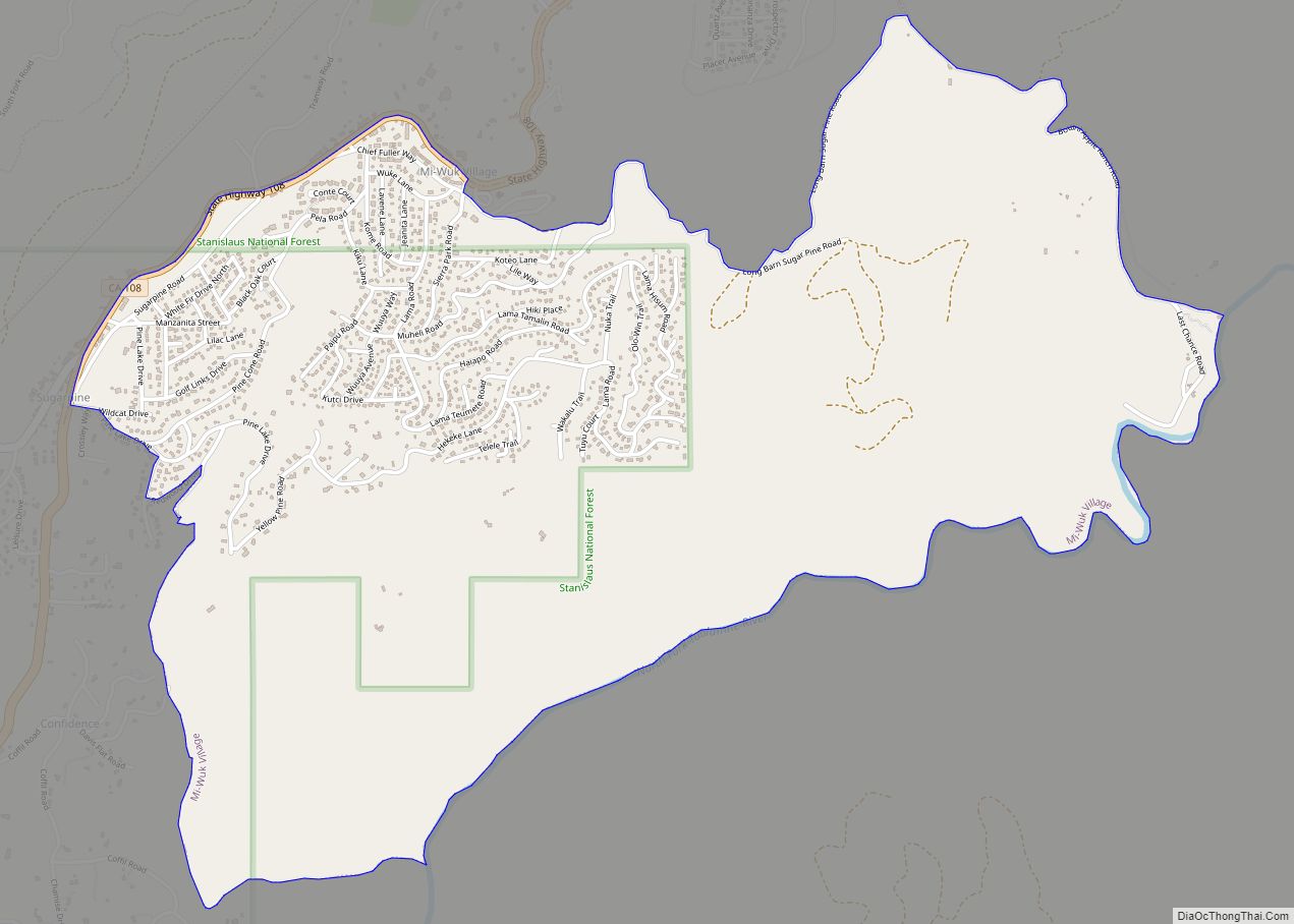
Strawberry city Satellite Map
Geography
According to the United States Census Bureau, the CDP covers an area of 0.5 square miles (1.4 km), 98.44% of it land and 1.56% of it water.
See also
Map of California State and its subdivision:- Alameda
- Alpine
- Amador
- Butte
- Calaveras
- Colusa
- Contra Costa
- Del Norte
- El Dorado
- Fresno
- Glenn
- Humboldt
- Imperial
- Inyo
- Kern
- Kings
- Lake
- Lassen
- Los Angeles
- Madera
- Marin
- Mariposa
- Mendocino
- Merced
- Modoc
- Mono
- Monterey
- Napa
- Nevada
- Orange
- Placer
- Plumas
- Riverside
- Sacramento
- San Benito
- San Bernardino
- San Diego
- San Francisco
- San Joaquin
- San Luis Obispo
- San Mateo
- Santa Barbara
- Santa Clara
- Santa Cruz
- Shasta
- Sierra
- Siskiyou
- Solano
- Sonoma
- Stanislaus
- Sutter
- Tehama
- Trinity
- Tulare
- Tuolumne
- Ventura
- Yolo
- Yuba
- Alabama
- Alaska
- Arizona
- Arkansas
- California
- Colorado
- Connecticut
- Delaware
- District of Columbia
- Florida
- Georgia
- Hawaii
- Idaho
- Illinois
- Indiana
- Iowa
- Kansas
- Kentucky
- Louisiana
- Maine
- Maryland
- Massachusetts
- Michigan
- Minnesota
- Mississippi
- Missouri
- Montana
- Nebraska
- Nevada
- New Hampshire
- New Jersey
- New Mexico
- New York
- North Carolina
- North Dakota
- Ohio
- Oklahoma
- Oregon
- Pennsylvania
- Rhode Island
- South Carolina
- South Dakota
- Tennessee
- Texas
- Utah
- Vermont
- Virginia
- Washington
- West Virginia
- Wisconsin
- Wyoming