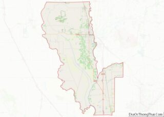
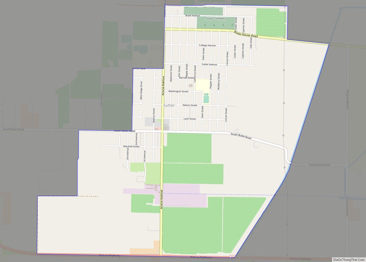
Sutter, formerly South Butte and Sutter City, is a census-designated place (CDP) in Sutter County, California, United States. It is part of the Yuba City Metropolitan Statistical Area within the Greater Sacramento CSA. The population as of the 2010 census was 2,904, up from 2,885 at the 2000 census.
| Name: | Sutter CDP |
|---|---|
| LSAD Code: | 57 |
| LSAD Description: | CDP (suffix) |
| State: | California |
| County: | Sutter County |
| Elevation: | 75 ft (23 m) |
| Total Area: | 3.036 sq mi (7.862 km²) |
| Land Area: | 3.036 sq mi (7.862 km²) |
| Water Area: | 0 sq mi (0 km²) 0% |
| Total Population: | 2,904 |
| Population Density: | 960/sq mi (370/km²) |
| ZIP code: | 95982 |
| Area code: | 530 |
| FIPS code: | 0677378 |
| GNISfeature ID: | 0255919 |
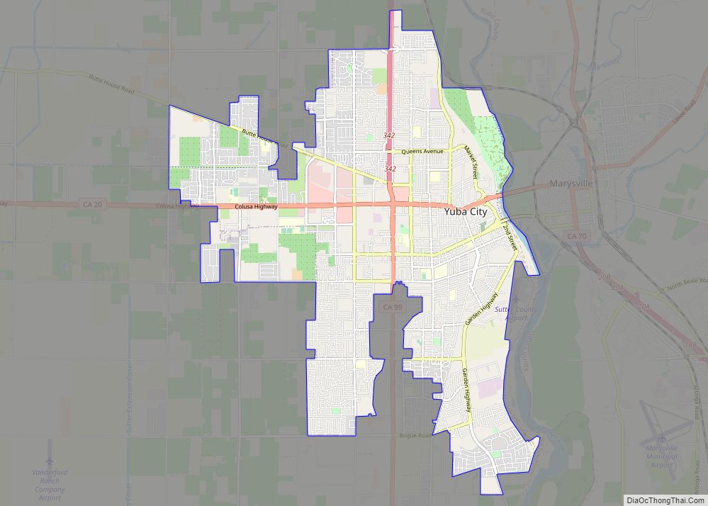
Online Interactive Map
Click on ![]() to view map in "full screen" mode.
to view map in "full screen" mode.
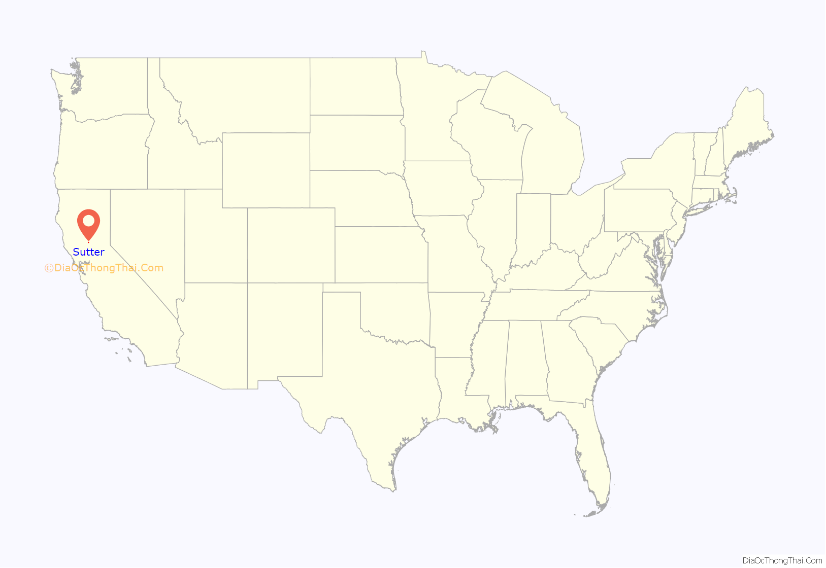
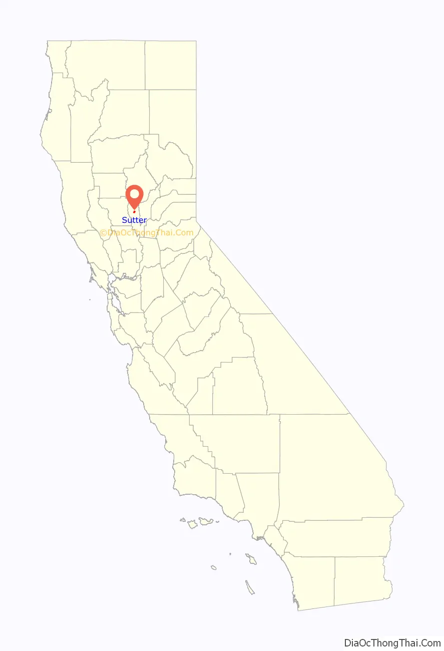
Sutter location map. Where is Sutter CDP?
History
Originally a settlement called South Butte, established in the vicinity of the stage station at Butte House east of the current town. It had a post office from August 7, 1871, until December 17, 1878, and from February 18, 1879, to January 20, 1888, when it was moved to the new Sutter City Post Office nearby. The Sutter Cemetery originally South Butte Cemetery, lay to the west on the stage road, and beside it was the school house, that was dismissed when there was a funeral.
Sutter City was the result of an attempt to take advantage of the boom in California in the late 1880s. The town was located south of the Cemetery along the path of a railroad line projected to pass through the town and it hoped to become the new county seat, because it was near the geographical center of the county. However the rail line was never built and it never became the county seat.
The Sutter City post office name was changed to Sutter on January 26, 1895.
Sutter Road Map
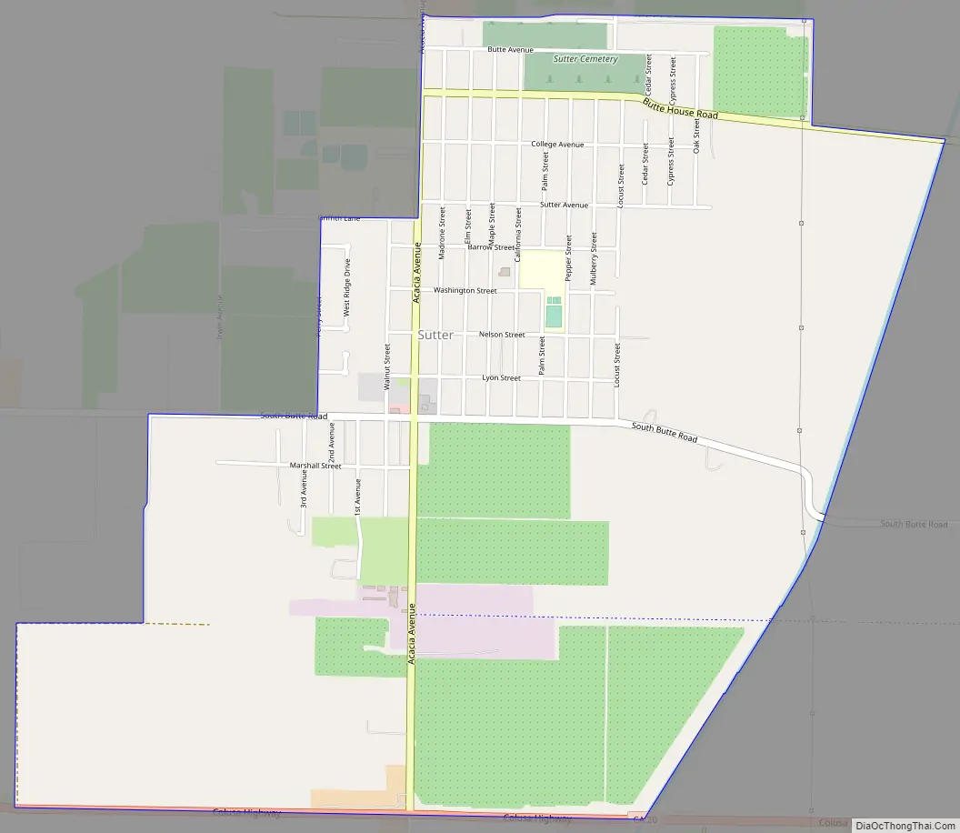
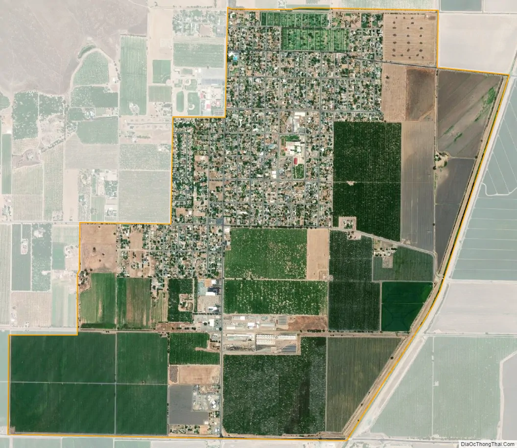
Sutter city Satellite Map
Geography
According to the United States Census Bureau, the CDP covers an area of 3.0 square miles (7.9 km), all of it land.
See also
Map of California State and its subdivision:- Alameda
- Alpine
- Amador
- Butte
- Calaveras
- Colusa
- Contra Costa
- Del Norte
- El Dorado
- Fresno
- Glenn
- Humboldt
- Imperial
- Inyo
- Kern
- Kings
- Lake
- Lassen
- Los Angeles
- Madera
- Marin
- Mariposa
- Mendocino
- Merced
- Modoc
- Mono
- Monterey
- Napa
- Nevada
- Orange
- Placer
- Plumas
- Riverside
- Sacramento
- San Benito
- San Bernardino
- San Diego
- San Francisco
- San Joaquin
- San Luis Obispo
- San Mateo
- Santa Barbara
- Santa Clara
- Santa Cruz
- Shasta
- Sierra
- Siskiyou
- Solano
- Sonoma
- Stanislaus
- Sutter
- Tehama
- Trinity
- Tulare
- Tuolumne
- Ventura
- Yolo
- Yuba
- Alabama
- Alaska
- Arizona
- Arkansas
- California
- Colorado
- Connecticut
- Delaware
- District of Columbia
- Florida
- Georgia
- Hawaii
- Idaho
- Illinois
- Indiana
- Iowa
- Kansas
- Kentucky
- Louisiana
- Maine
- Maryland
- Massachusetts
- Michigan
- Minnesota
- Mississippi
- Missouri
- Montana
- Nebraska
- Nevada
- New Hampshire
- New Jersey
- New Mexico
- New York
- North Carolina
- North Dakota
- Ohio
- Oklahoma
- Oregon
- Pennsylvania
- Rhode Island
- South Carolina
- South Dakota
- Tennessee
- Texas
- Utah
- Vermont
- Virginia
- Washington
- West Virginia
- Wisconsin
- Wyoming