Sutter Creek (formerly spelled Sutter’s Creek and Suttercreek; formerly named Suttersville) is a city in Amador County, California, United States. The population was 2,501 at the 2010 census, up from 2,303 at the 2000 census. It is accessible via State Route 49.
| Name: | Sutter Creek city |
|---|---|
| LSAD Code: | 25 |
| LSAD Description: | city (suffix) |
| State: | California |
| County: | Amador County |
| Incorporated: | February 11, 1913 |
| Elevation: | 1,188 ft (362 m) |
| Total Area: | 2.70 sq mi (6.99 km²) |
| Land Area: | 2.70 sq mi (6.99 km²) |
| Water Area: | 0.00 sq mi (0.00 km²) 0% |
| Total Population: | 2,501 |
| Population Density: | 971.83/sq mi (375.21/km²) |
| ZIP code: | 95685 |
| Area code: | 209 |
| FIPS code: | 0677392 |
| Website: | www.cityofsuttercreek.org |
Online Interactive Map
Click on ![]() to view map in "full screen" mode.
to view map in "full screen" mode.
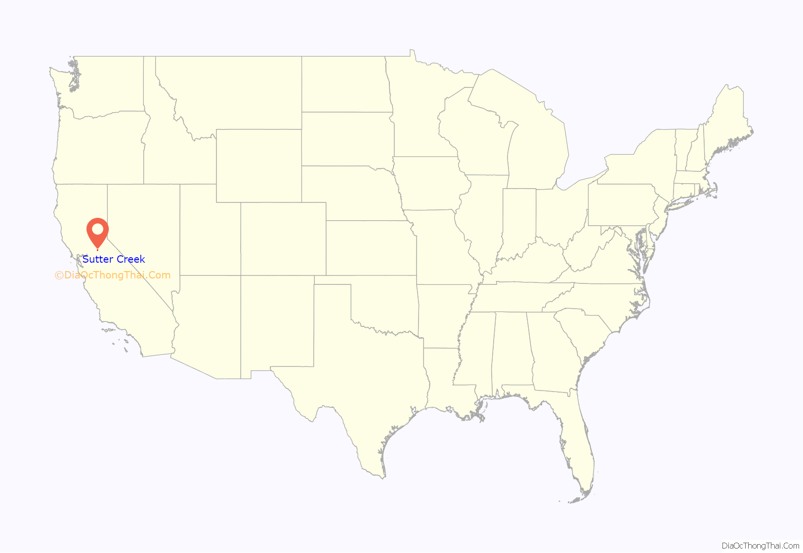
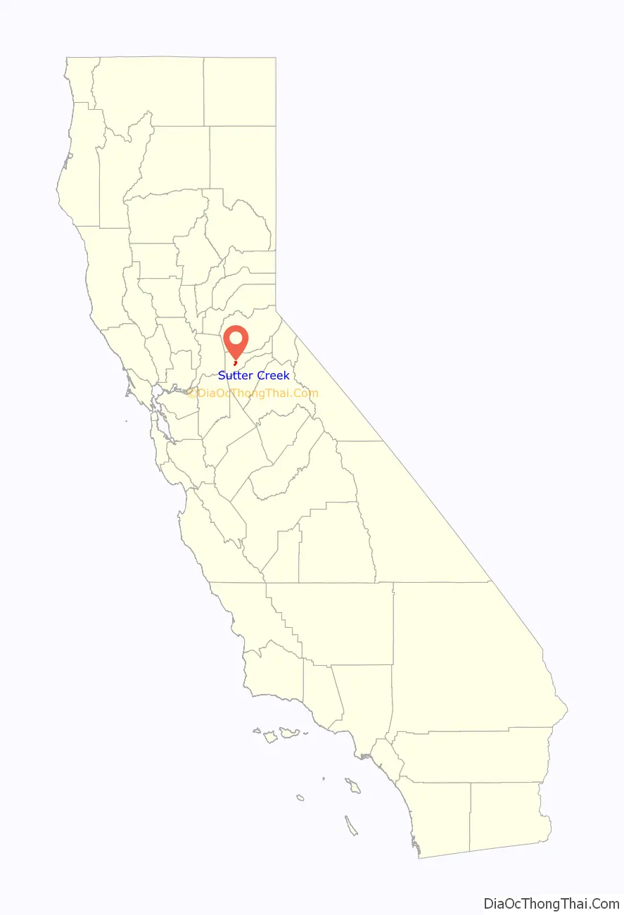
Sutter Creek location map. Where is Sutter Creek city?
History
The community takes its name from nearby Sutter Creek, which in turn has the name of early California developer John Sutter.
Sutter’s discovery of gold at nearby Coloma in January 1848 triggered the California Gold Rush. After all his workers left him to go on their own hunts for gold, Sutter moved to Mormon Island with a couple of hands. After about two weeks miners flooded the island, so Sutter and his hands left and returned to Sutter Creek. Sutter said: “I broke up the camp and started on the march further south, and located my next camp on Sutter Creek, now in Amador County, and thought that I should be there alone. The work was going on well for a while, until three or four traveling grog-shops surrounded me, at from one-half to ten miles (16 km) distance from the camp. Then, of course, the gold was taken to these places, for drinking, gambling, etc., and then the following day they were sick and unable to work, and became deeper and more indebted to me, particularly the Kanakas [native Hawaiians].” Shortly thereafter Sutter moved out of Sutter Creek and back to his fort.
Sutter Creek became a destination for fortune hunters. A post office was established in 1852, and Sutter Creek became a town in 1854 that incorporated in 1913.
Although plenty of placer gold was found there, gold-bearing quartz deposits were discovered in 1851, and mining those deposits for gold became the mainstay of the local economy for many years. With the prosperity brought by quartz mining, Sutter Creek became a boomtown. By 1932, the Central Eureka mine, begun in 1869, had reached the 2,300-foot (700 m) level. By 1939, it was the best-paying mine in Sutter Creek. The mines continued operations until 1942, when most gold mines were closed for manpower reasons during World War II.
Today, Sutter Creek is a tourist town with many shops and restaurants. The town itself is registered as California Historical Landmark #322.
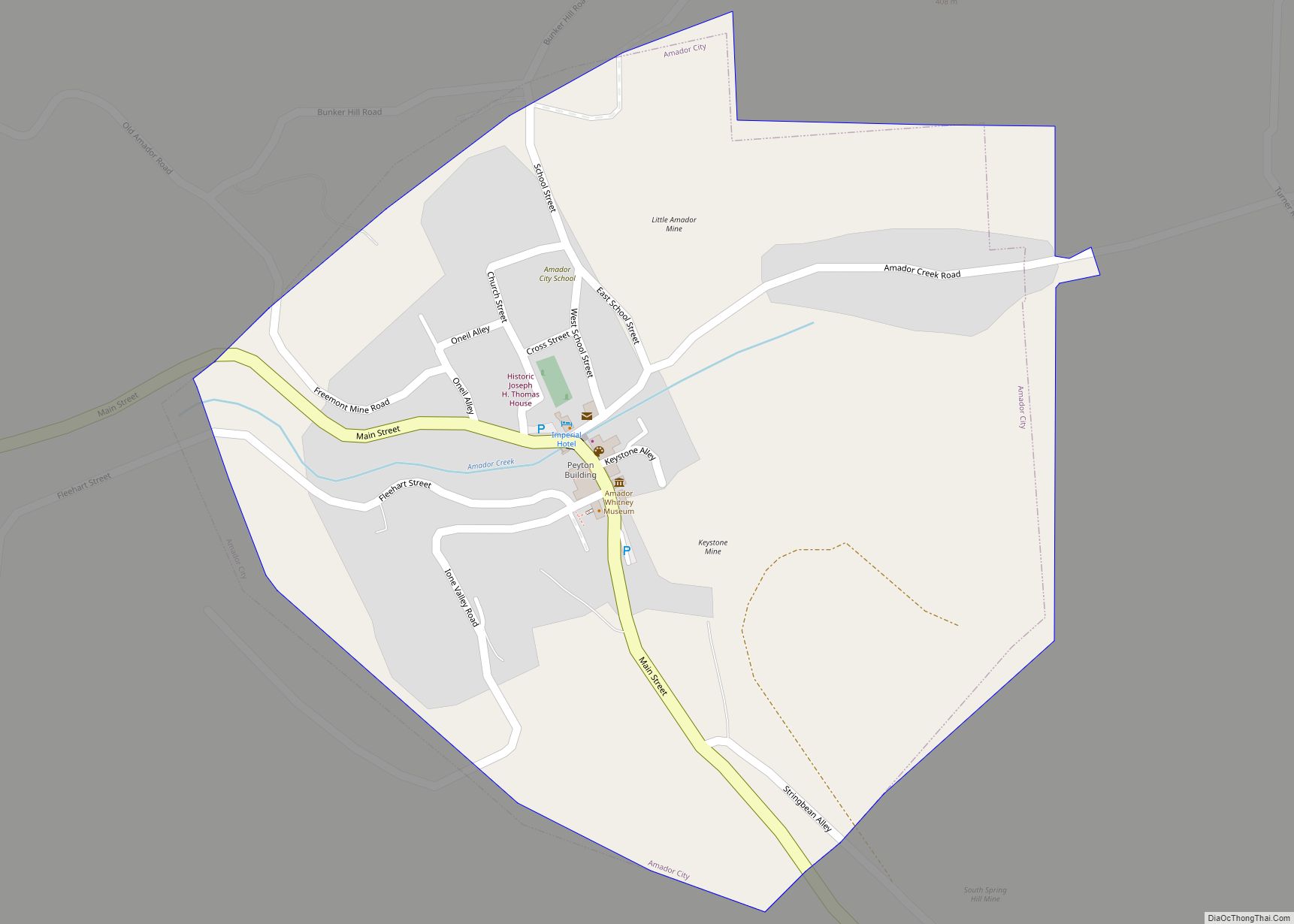
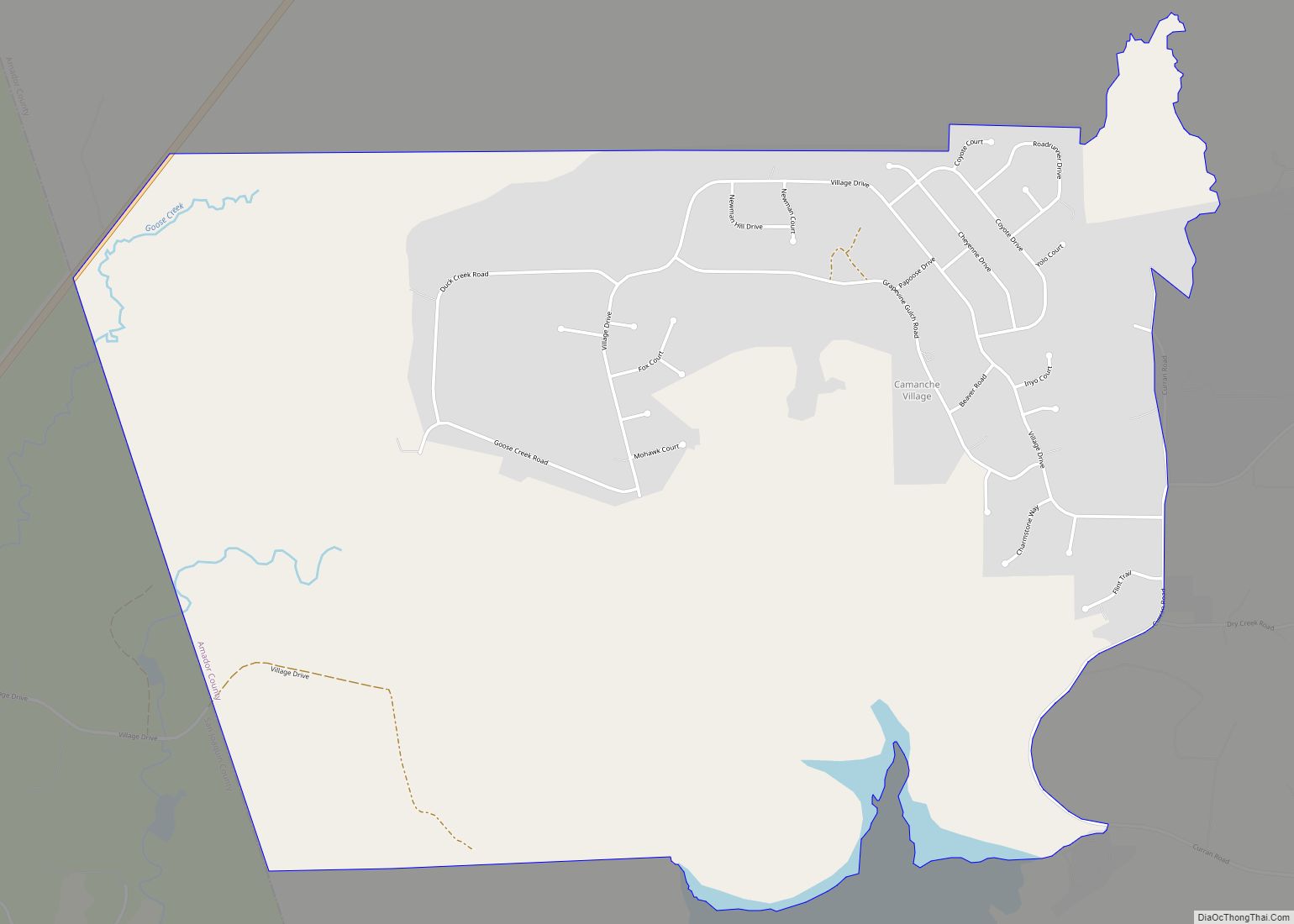
Sutter Creek Road Map
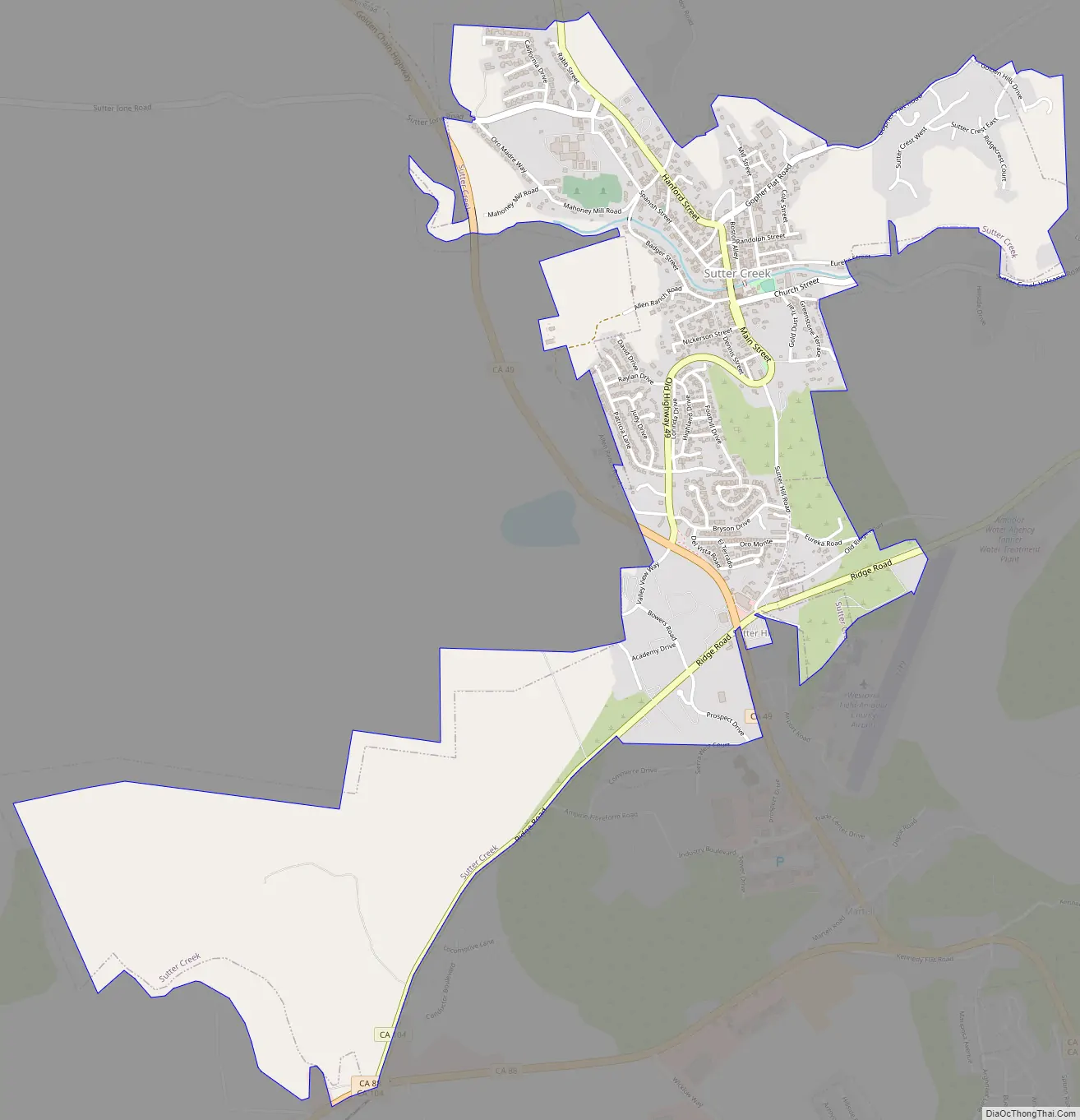
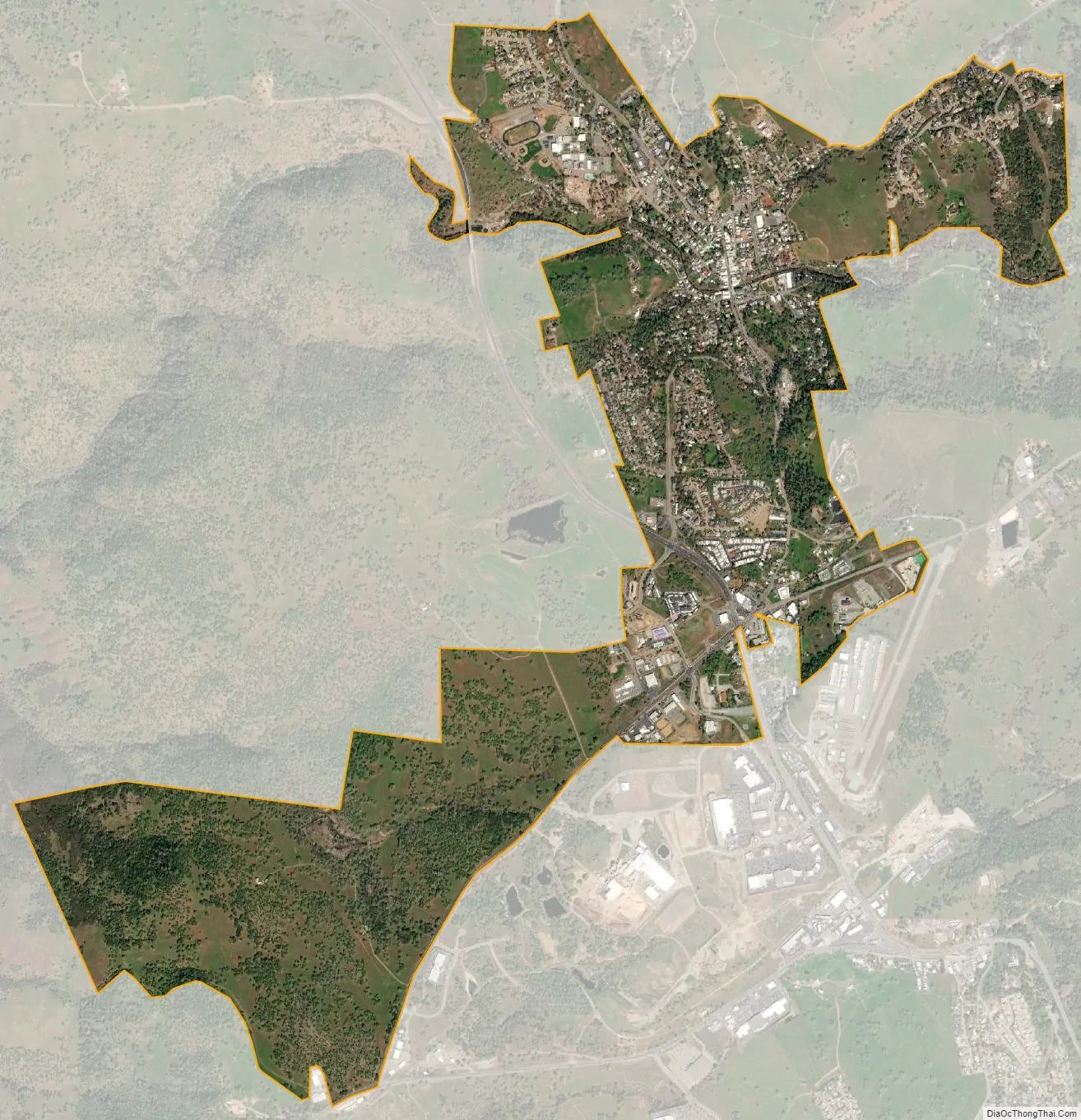
Sutter Creek city Satellite Map
Geography
According to the United States Census Bureau, the city has a total area of 2.6 square miles (6.6 km), all of it land.
Climate
According to the Köppen Climate Classification system, Sutter Creek has a hot-summer Mediterranean climate, abbreviated “Csa” on climate maps. Summers are long and hot, while winters are cool but relatively short. As typical of mediterranean climates, precipitation is concentrated to winter months, with summers being extremely dry.
See also
Map of California State and its subdivision:- Alameda
- Alpine
- Amador
- Butte
- Calaveras
- Colusa
- Contra Costa
- Del Norte
- El Dorado
- Fresno
- Glenn
- Humboldt
- Imperial
- Inyo
- Kern
- Kings
- Lake
- Lassen
- Los Angeles
- Madera
- Marin
- Mariposa
- Mendocino
- Merced
- Modoc
- Mono
- Monterey
- Napa
- Nevada
- Orange
- Placer
- Plumas
- Riverside
- Sacramento
- San Benito
- San Bernardino
- San Diego
- San Francisco
- San Joaquin
- San Luis Obispo
- San Mateo
- Santa Barbara
- Santa Clara
- Santa Cruz
- Shasta
- Sierra
- Siskiyou
- Solano
- Sonoma
- Stanislaus
- Sutter
- Tehama
- Trinity
- Tulare
- Tuolumne
- Ventura
- Yolo
- Yuba
- Alabama
- Alaska
- Arizona
- Arkansas
- California
- Colorado
- Connecticut
- Delaware
- District of Columbia
- Florida
- Georgia
- Hawaii
- Idaho
- Illinois
- Indiana
- Iowa
- Kansas
- Kentucky
- Louisiana
- Maine
- Maryland
- Massachusetts
- Michigan
- Minnesota
- Mississippi
- Missouri
- Montana
- Nebraska
- Nevada
- New Hampshire
- New Jersey
- New Mexico
- New York
- North Carolina
- North Dakota
- Ohio
- Oklahoma
- Oregon
- Pennsylvania
- Rhode Island
- South Carolina
- South Dakota
- Tennessee
- Texas
- Utah
- Vermont
- Virginia
- Washington
- West Virginia
- Wisconsin
- Wyoming