Tamalpais-Homestead Valley is a census-designated place (CDP) in Marin County, California, United States. The population was 11,492 at the 2020 census.
| Name: | Tamalpais-Homestead Valley CDP |
|---|---|
| LSAD Code: | 57 |
| LSAD Description: | CDP (suffix) |
| State: | California |
| County: | Marin County |
| Total Area: | 4.747 sq mi (12.29 km²) |
| Land Area: | 4.685 sq mi (12.13 km²) |
| Water Area: | 0.062 sq mi (0.16 km²) 1.31% |
| Total Population: | 11,492 |
| Population Density: | 2,452.93/sq mi (947.08/km²) |
| ZIP code: | 94941 |
| FIPS code: | 0677805 |
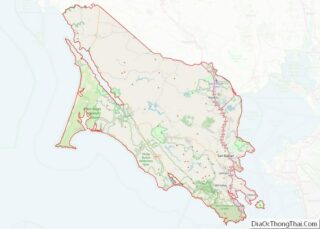
Online Interactive Map
Click on ![]() to view map in "full screen" mode.
to view map in "full screen" mode.
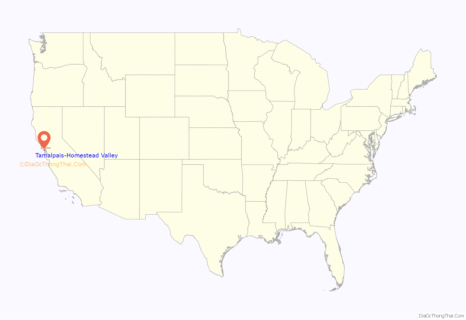
Tamalpais-Homestead Valley location map. Where is Tamalpais-Homestead Valley CDP?
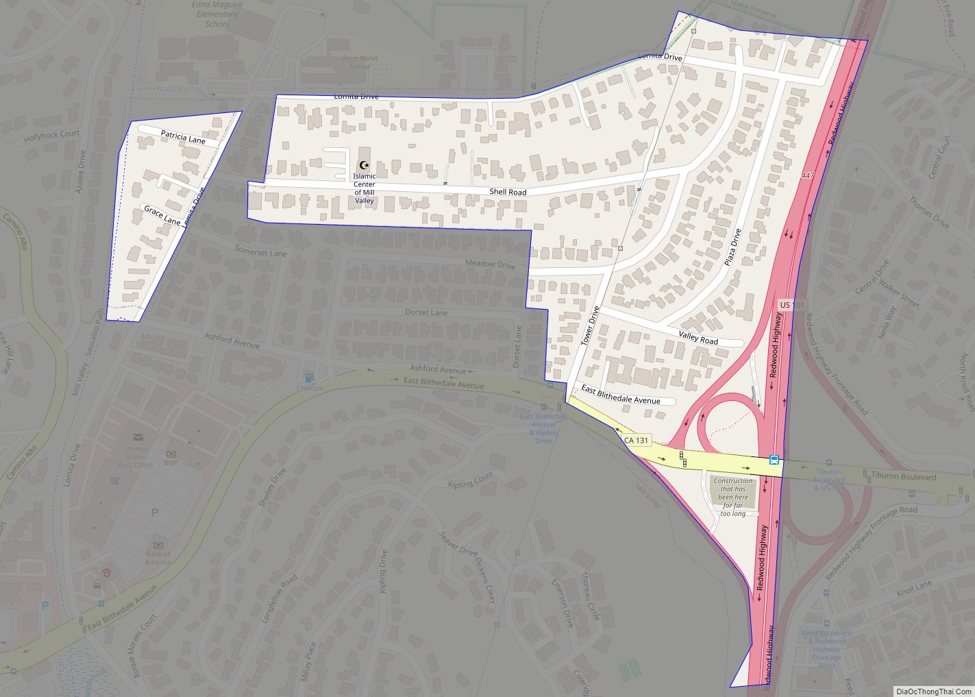
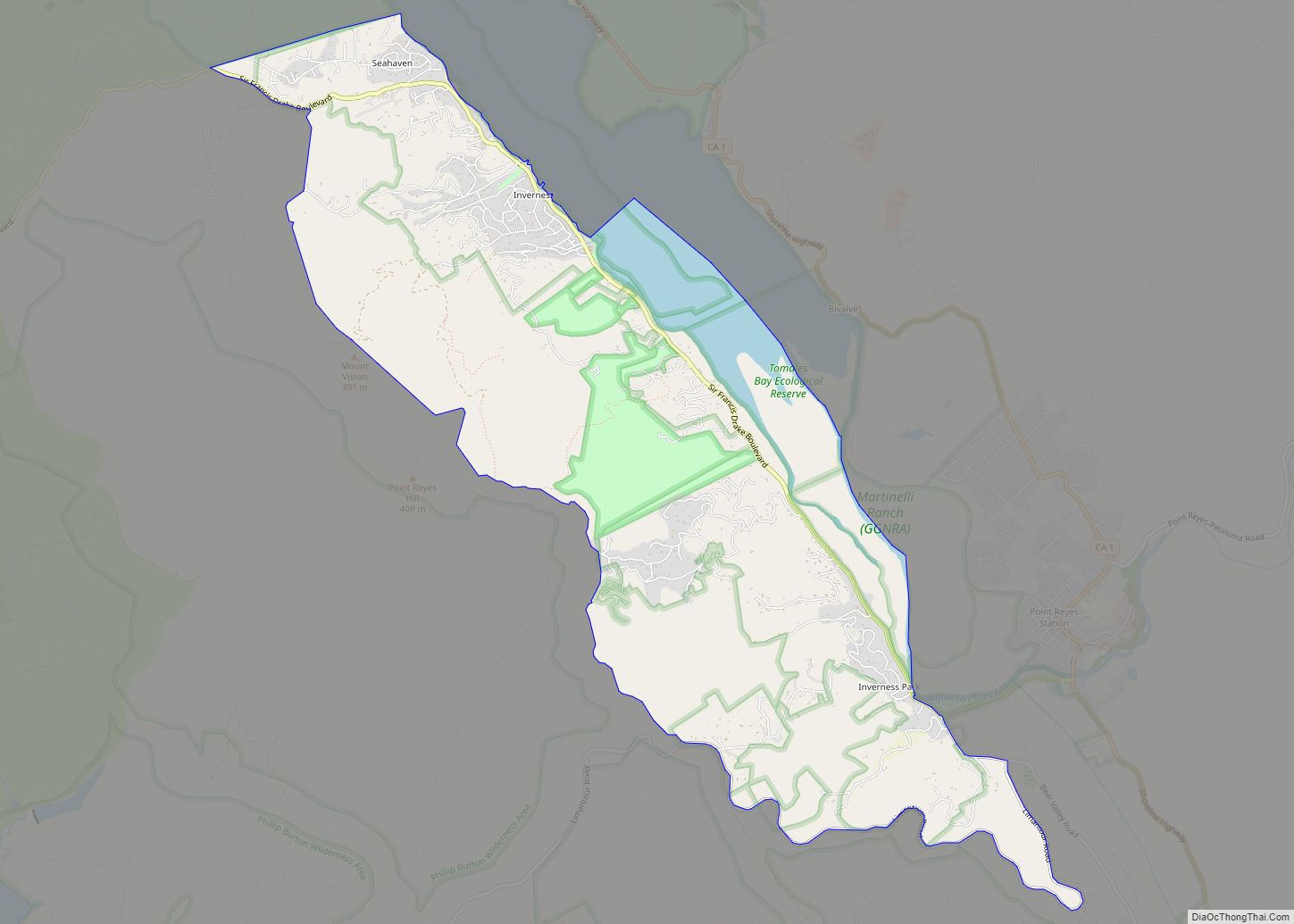
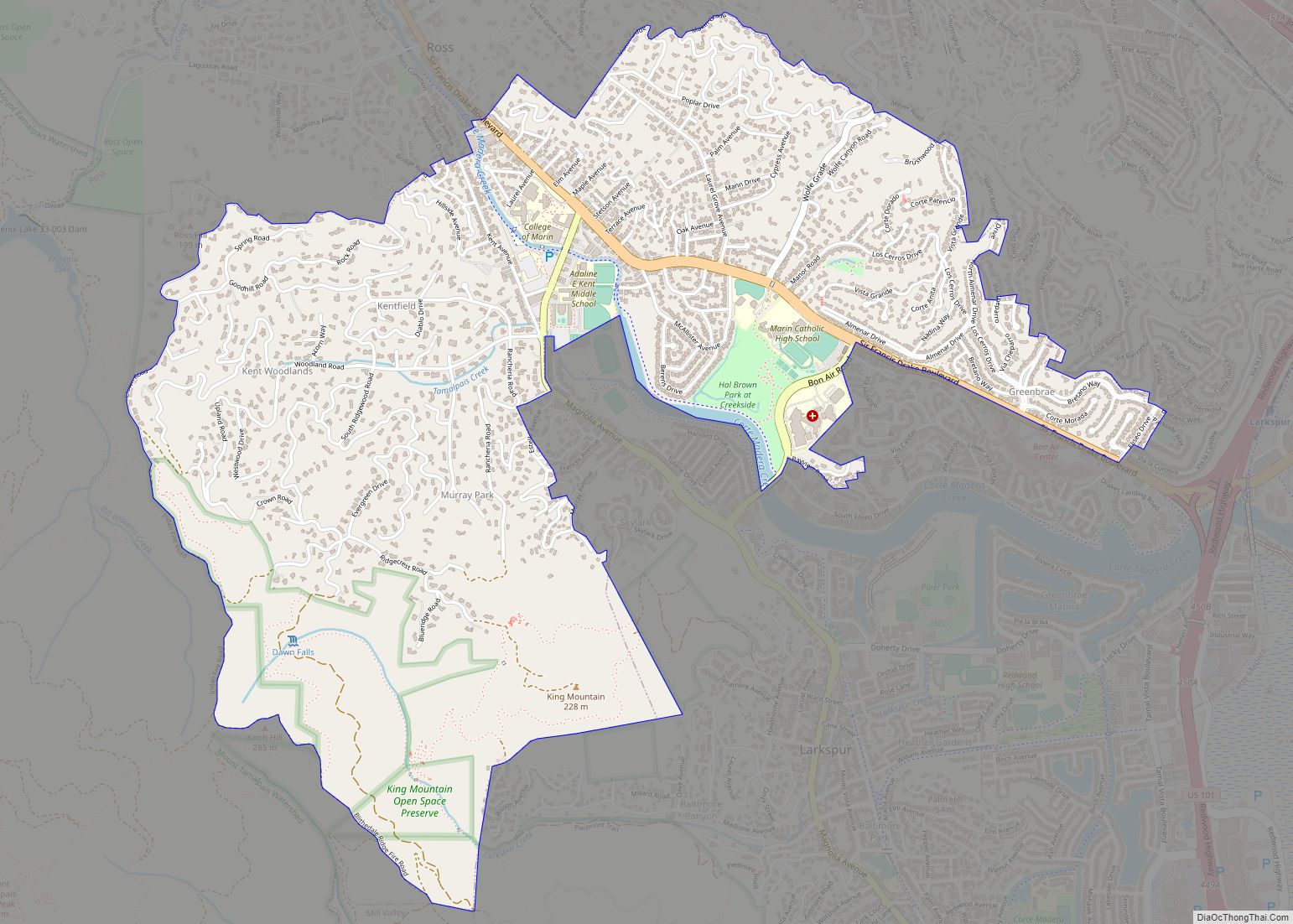
Tamalpais-Homestead Valley Road Map
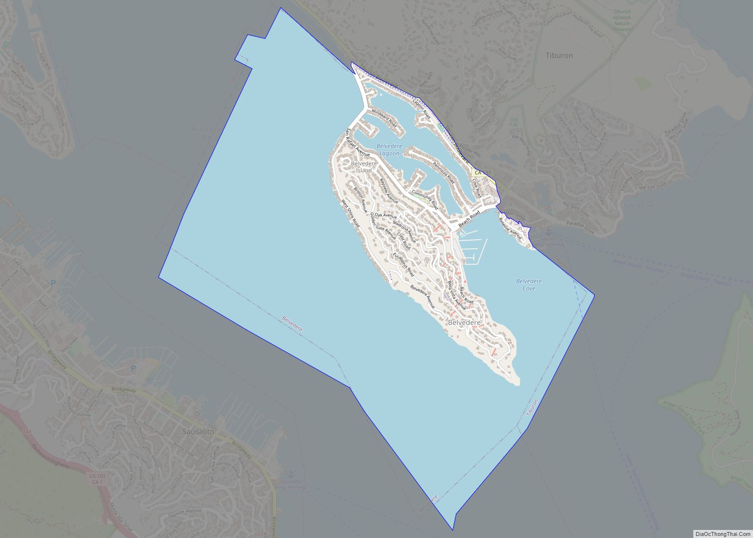
Tamalpais-Homestead Valley city Satellite Map
Geography
Tamalpais-Homestead Valley is located at 37°53′19″N 122°32′23″W / 37.888526°N 122.539609°W / 37.888526; -122.539609. It is bordered by Mill Valley to the north and Sausalito to the southeast. It is about 10 minutes north of San Francisco and the Golden Gate Bridge by car. California State Route 1 (also known as Shoreline Highway and the Pacific Coast Highway) runs through the Valley and is the road most often used to access western Marin County. Nearby landmarks include the Golden Gate National Recreation Area, Mount Tamalpais State Park, Muir Woods National Monument, Tennessee Valley and Muir Beach.
According to the United States Census Bureau, the CDP has a total area of 4.7 square miles (12 km), of which 0.06 square miles (0.16 km), or 1.31%, are water.
See also
Map of California State and its subdivision:- Alameda
- Alpine
- Amador
- Butte
- Calaveras
- Colusa
- Contra Costa
- Del Norte
- El Dorado
- Fresno
- Glenn
- Humboldt
- Imperial
- Inyo
- Kern
- Kings
- Lake
- Lassen
- Los Angeles
- Madera
- Marin
- Mariposa
- Mendocino
- Merced
- Modoc
- Mono
- Monterey
- Napa
- Nevada
- Orange
- Placer
- Plumas
- Riverside
- Sacramento
- San Benito
- San Bernardino
- San Diego
- San Francisco
- San Joaquin
- San Luis Obispo
- San Mateo
- Santa Barbara
- Santa Clara
- Santa Cruz
- Shasta
- Sierra
- Siskiyou
- Solano
- Sonoma
- Stanislaus
- Sutter
- Tehama
- Trinity
- Tulare
- Tuolumne
- Ventura
- Yolo
- Yuba
- Alabama
- Alaska
- Arizona
- Arkansas
- California
- Colorado
- Connecticut
- Delaware
- District of Columbia
- Florida
- Georgia
- Hawaii
- Idaho
- Illinois
- Indiana
- Iowa
- Kansas
- Kentucky
- Louisiana
- Maine
- Maryland
- Massachusetts
- Michigan
- Minnesota
- Mississippi
- Missouri
- Montana
- Nebraska
- Nevada
- New Hampshire
- New Jersey
- New Mexico
- New York
- North Carolina
- North Dakota
- Ohio
- Oklahoma
- Oregon
- Pennsylvania
- Rhode Island
- South Carolina
- South Dakota
- Tennessee
- Texas
- Utah
- Vermont
- Virginia
- Washington
- West Virginia
- Wisconsin
- Wyoming
