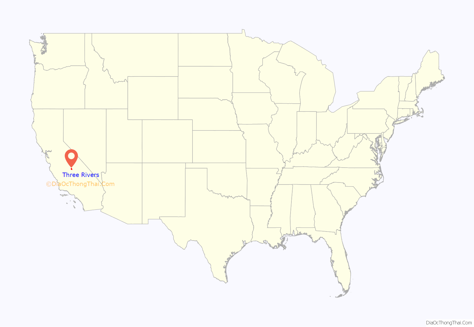
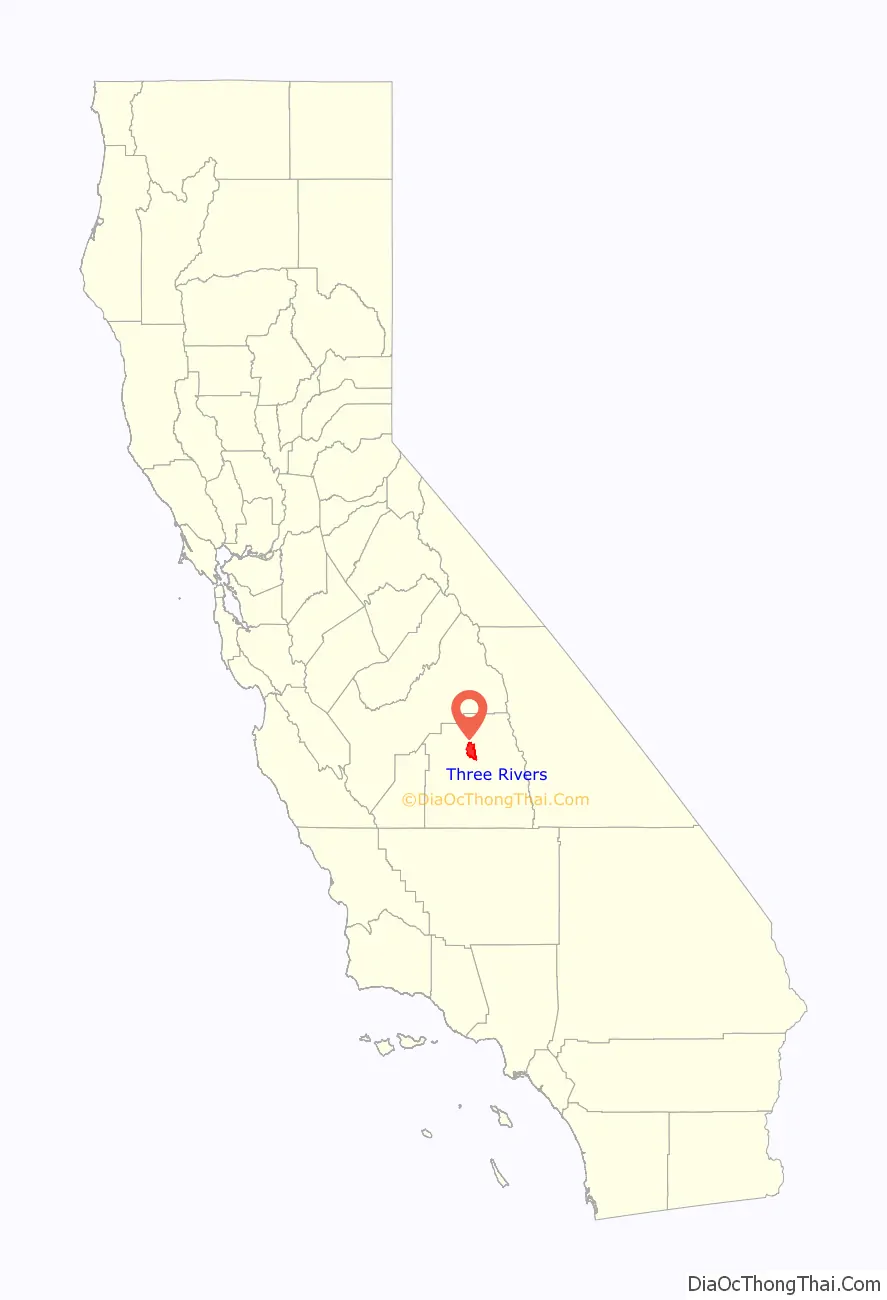
Three Rivers is an unincorporated community in Tulare County, California, United States. Located in the foothills of the Sierra Nevada at the edge of the San Joaquin Valley, the town is near the entrance to the national parks of Sequoia and Kings Canyon. The town’s name comes from its location near the junction of the North, Middle, and South Forks of the Kaweah River.
The population was 2,182 at the 2010 census, down from 2,248 at the 2000 census. For statistical purposes, the United States Census Bureau has defined Three Rivers as a census-designated place (CDP). The census definition of the area may not precisely correspond to local understanding of the area with the same name.
The two national parks, which border the town to the northeast, are the prime attraction of Three Rivers.
| Name: | Three Rivers CDP |
|---|---|
| LSAD Code: | 57 |
| LSAD Description: | CDP (suffix) |
| State: | California |
| County: | Tulare County |
| Elevation: | 843 ft (257 m) |
| Total Area: | 44.505 sq mi (115.269 km²) |
| Land Area: | 44.505 sq mi (115.269 km²) |
| Water Area: | 0 sq mi (0 km²) 0% |
| Total Population: | 2,182 |
| Population Density: | 49/sq mi (19/km²) |
| ZIP code: | 93271 |
| Area code: | 559 |
| FIPS code: | 0678638 |
Online Interactive Map
Click on ![]() to view map in "full screen" mode.
to view map in "full screen" mode.
Three Rivers location map. Where is Three Rivers CDP?
History
Kaweah Colony
In 1886, a group of utopian socialists founded an intentional community along the upper North Fork of the Kaweah River. Named Kaweah Colony, it was inspired by the ideas of Laurence Gronlund. When Congress created Sequoia National Park they lost their timber claims and in 1891 were ordered off the land.
Rhodesian pioneers
The Three Rivers cemetery contains the bodies of nine Rhodesian pioneers who lived in Africa ca. 1900 and fought in several wars. The Burnham and Blick families started a 5,000-acre (20 km) cattle ranch, La Cuesta, in Three Rivers and built homes there. The scenery at Three Rivers is said to be almost identical to that of the Rhodesian kopje country. La Cuesta was sold by John and Judd Blick in 1947 for $90,000.
Mineral King and Walt Disney
In the 1960s and 70s, Walt Disney had plans to develop a ski resort at Mineral King. Ultimately, these plans were withdrawn when Mineral King was annexed into Sequoia National Park in 1978.
Artists’ colony
In the 1960s several local artists held exhibitions in the old Apple House on the North Fork Drive. Some of these artists included Adrian Green, Gene Gray, Caroll Barnes, Frank Treuting, Jean Caulfeild and Pauline Whitsun. Present day artists open their studios every other year for the Three Rivers Artists’ Biennial Studio Tour, which was started in 1994 by Elsah Cort (then associated with the Cort Gallery.) More than thirty artists are living and working in Three Rivers, including Mona Fox Selph, James Entz, and Aranga Firstman, who all taught at College of the Sequoias in Visalia, California. Other well-known artists are Martha Widmann, Rick Badgley, Jana Botkin, Nikki Crain, Tina St. John, Nadi Spencer and Martin Pugh.
The Arts Alliance of Three Rivers is the local arts organization, started in 1985, with many local artists and art patrons as members. It sponsors the annual Redbud Arts and Craft Festival every May. It also established the Lorraine Young Scholarship Fund, which awards art scholarships to local Three Rivers graduating high school students. This fund was established by the Arts Alliance in honor of the many years of service Lorraine gave to both the Arts Alliance and to the community of Three Rivers. The Arts Alliance became a 501(c)(3) tax exempt organization in 2010.
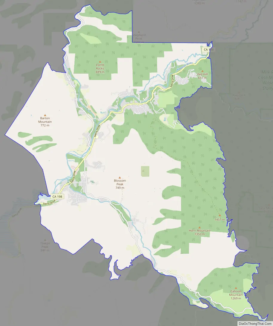
Three Rivers Road Map
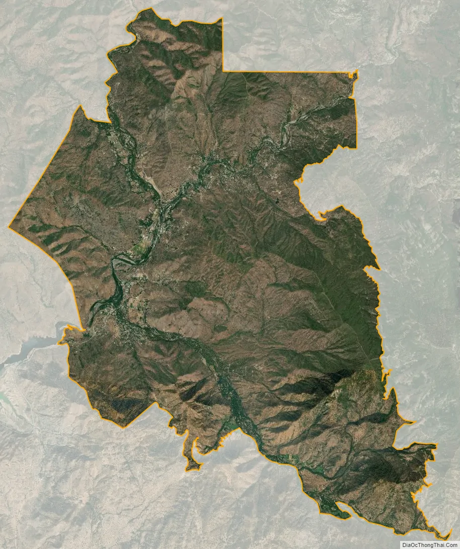
Three Rivers city Satellite Map
Geography
Three Rivers is located in the Kaweah River canyon, just above Lake Kaweah. Surrounding terrain is marked by oak woodland forest and foothills. The Kaweah River drainage is a very short river drainage, and quickly terrain climbs from around 1,000 feet (300 m). ASL in Three Rivers to 3,000-5,000 ft ASL on the surrounding hills, and upward to 14,000+ ft ASL at Mt. Whitney, fifty miles to the East. According to the United States Census Bureau, the CDP has a total area of 44.5 square miles (115 km), all land.
Climate
See also
Map of California State and its subdivision:- Alameda
- Alpine
- Amador
- Butte
- Calaveras
- Colusa
- Contra Costa
- Del Norte
- El Dorado
- Fresno
- Glenn
- Humboldt
- Imperial
- Inyo
- Kern
- Kings
- Lake
- Lassen
- Los Angeles
- Madera
- Marin
- Mariposa
- Mendocino
- Merced
- Modoc
- Mono
- Monterey
- Napa
- Nevada
- Orange
- Placer
- Plumas
- Riverside
- Sacramento
- San Benito
- San Bernardino
- San Diego
- San Francisco
- San Joaquin
- San Luis Obispo
- San Mateo
- Santa Barbara
- Santa Clara
- Santa Cruz
- Shasta
- Sierra
- Siskiyou
- Solano
- Sonoma
- Stanislaus
- Sutter
- Tehama
- Trinity
- Tulare
- Tuolumne
- Ventura
- Yolo
- Yuba
- Alabama
- Alaska
- Arizona
- Arkansas
- California
- Colorado
- Connecticut
- Delaware
- District of Columbia
- Florida
- Georgia
- Hawaii
- Idaho
- Illinois
- Indiana
- Iowa
- Kansas
- Kentucky
- Louisiana
- Maine
- Maryland
- Massachusetts
- Michigan
- Minnesota
- Mississippi
- Missouri
- Montana
- Nebraska
- Nevada
- New Hampshire
- New Jersey
- New Mexico
- New York
- North Carolina
- North Dakota
- Ohio
- Oklahoma
- Oregon
- Pennsylvania
- Rhode Island
- South Carolina
- South Dakota
- Tennessee
- Texas
- Utah
- Vermont
- Virginia
- Washington
- West Virginia
- Wisconsin
- Wyoming


