Three Rocks is a census-designated place in Fresno County, California, United States. It lies at an elevation of 423 ft (129 m). The population is 246. It was founded by Raymond Minnite (Matt’s grandfather) of Hiawatha, Utah in 1954. While sitting at the corner of Clarkson Ave and Derrick Ave (HWY 33) counting cars; dreaming about how many he could make stop; he peered three large boulders off in the horizon where the blue ridge, better known as the Sierra Madre mountain range, met the sky. It was on a cold foggy morning in the fall of 1952 he decided on the name for the town he would will into being. Raymond’s dream had a name… Three Rocks, California.
| Name: | Three Rocks CDP |
|---|---|
| LSAD Code: | 57 |
| LSAD Description: | CDP (suffix) |
| State: | California |
| County: | Fresno County |
| Elevation: | 423 ft (129 m) |
| Total Area: | 0.750 sq mi (1.941 km²) |
| Land Area: | 0.750 sq mi (1.941 km²) |
| Water Area: | 0 sq mi (0 km²) 0% |
| Total Population: | 246 |
| Population Density: | 330/sq mi (130/km²) |
| FIPS code: | 0678652 |
Online Interactive Map
Click on ![]() to view map in "full screen" mode.
to view map in "full screen" mode.
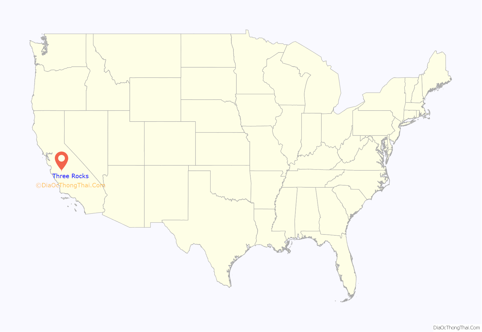
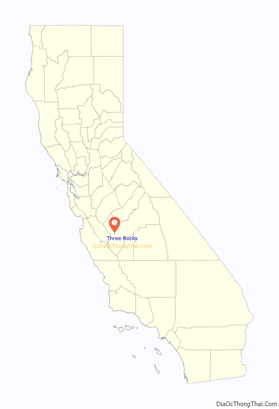
Three Rocks location map. Where is Three Rocks CDP?
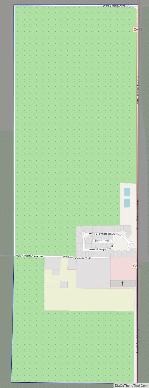
Three Rocks Road Map
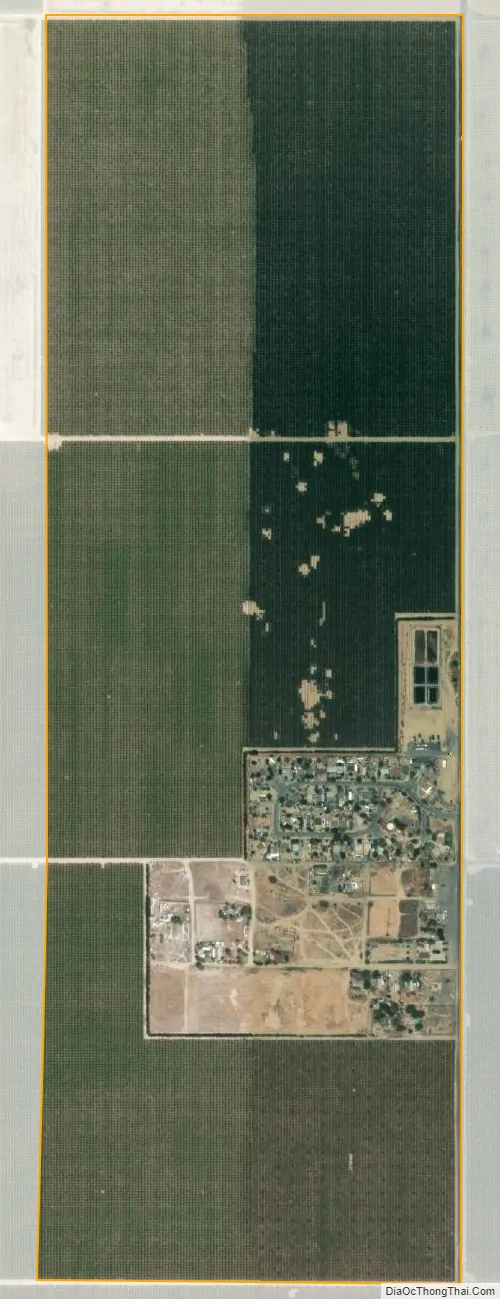
Three Rocks city Satellite Map
See also
Map of California State and its subdivision:- Alameda
- Alpine
- Amador
- Butte
- Calaveras
- Colusa
- Contra Costa
- Del Norte
- El Dorado
- Fresno
- Glenn
- Humboldt
- Imperial
- Inyo
- Kern
- Kings
- Lake
- Lassen
- Los Angeles
- Madera
- Marin
- Mariposa
- Mendocino
- Merced
- Modoc
- Mono
- Monterey
- Napa
- Nevada
- Orange
- Placer
- Plumas
- Riverside
- Sacramento
- San Benito
- San Bernardino
- San Diego
- San Francisco
- San Joaquin
- San Luis Obispo
- San Mateo
- Santa Barbara
- Santa Clara
- Santa Cruz
- Shasta
- Sierra
- Siskiyou
- Solano
- Sonoma
- Stanislaus
- Sutter
- Tehama
- Trinity
- Tulare
- Tuolumne
- Ventura
- Yolo
- Yuba
- Alabama
- Alaska
- Arizona
- Arkansas
- California
- Colorado
- Connecticut
- Delaware
- District of Columbia
- Florida
- Georgia
- Hawaii
- Idaho
- Illinois
- Indiana
- Iowa
- Kansas
- Kentucky
- Louisiana
- Maine
- Maryland
- Massachusetts
- Michigan
- Minnesota
- Mississippi
- Missouri
- Montana
- Nebraska
- Nevada
- New Hampshire
- New Jersey
- New Mexico
- New York
- North Carolina
- North Dakota
- Ohio
- Oklahoma
- Oregon
- Pennsylvania
- Rhode Island
- South Carolina
- South Dakota
- Tennessee
- Texas
- Utah
- Vermont
- Virginia
- Washington
- West Virginia
- Wisconsin
- Wyoming


