Tooleville is an unincorporated community in Tulare County, California. Tooleville sits at an elevation of 397 feet (121 m). The 2010 United States census reported Tooleville’s population was 339. For statistical purposes, the US Census Bureau has designated it a census-designated place (CDP).
Tooleville has the lowest per capita income ($3,711) of any CDP in California [1]
| Name: | Tooleville CDP |
|---|---|
| LSAD Code: | 57 |
| LSAD Description: | CDP (suffix) |
| State: | California |
| County: | Tulare County |
| Elevation: | 397 ft (121 m) |
| Total Area: | 0.067 sq mi (0.173 km²) |
| Land Area: | 0.067 sq mi (0.173 km²) |
| Water Area: | 0 sq mi (0 km²) 0% |
| Total Population: | 339 |
| Population Density: | 5,100/sq mi (2,000/km²) |
| FIPS code: | 0678949 |
| GNISfeature ID: | 2585462 |
Online Interactive Map
Click on ![]() to view map in "full screen" mode.
to view map in "full screen" mode.
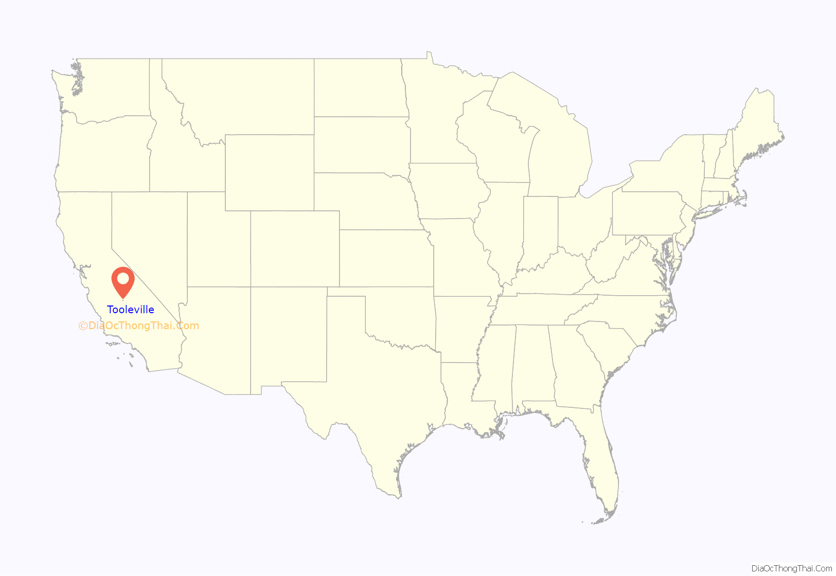
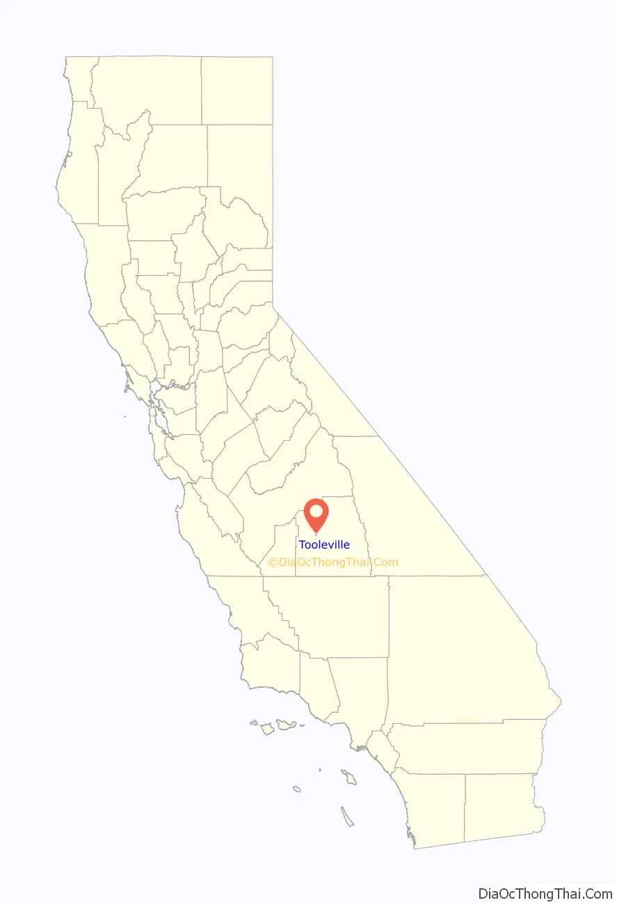
Tooleville location map. Where is Tooleville CDP?
History
Tooleville narratives indicate that the Tool family, coming from Oklahoma in the Dust Bowl era, purchased a large parcel of land and sold portions of it to other Dust Bowl migrants.
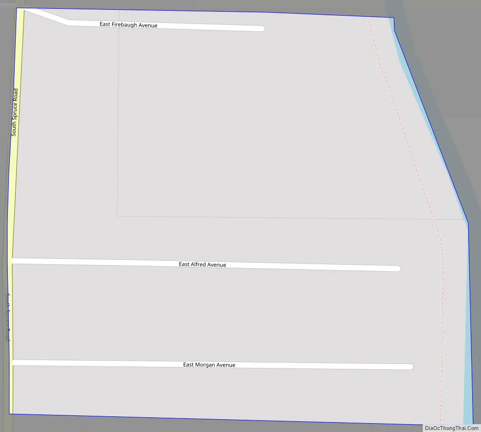
Tooleville Road Map
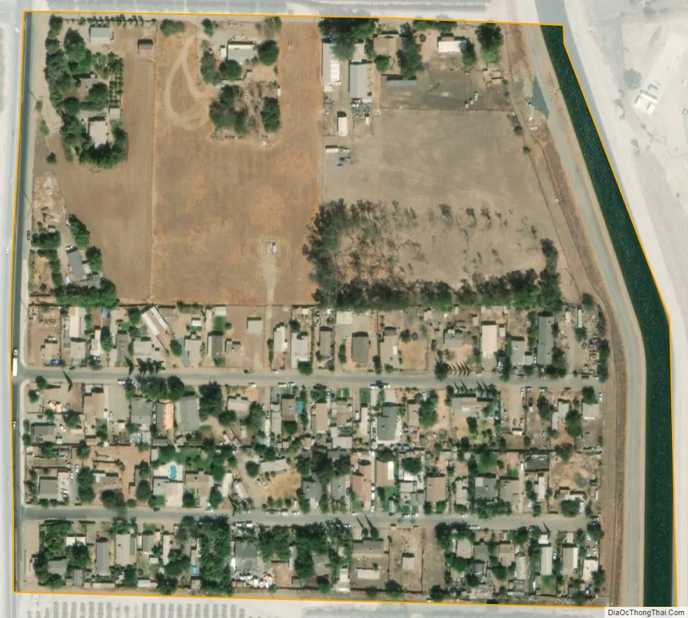
Tooleville city Satellite Map
Geography
According to the United States Census Bureau, the CDP covers an area of 0.07 square miles (0.17 km), all of it land.
See also
Map of California State and its subdivision:- Alameda
- Alpine
- Amador
- Butte
- Calaveras
- Colusa
- Contra Costa
- Del Norte
- El Dorado
- Fresno
- Glenn
- Humboldt
- Imperial
- Inyo
- Kern
- Kings
- Lake
- Lassen
- Los Angeles
- Madera
- Marin
- Mariposa
- Mendocino
- Merced
- Modoc
- Mono
- Monterey
- Napa
- Nevada
- Orange
- Placer
- Plumas
- Riverside
- Sacramento
- San Benito
- San Bernardino
- San Diego
- San Francisco
- San Joaquin
- San Luis Obispo
- San Mateo
- Santa Barbara
- Santa Clara
- Santa Cruz
- Shasta
- Sierra
- Siskiyou
- Solano
- Sonoma
- Stanislaus
- Sutter
- Tehama
- Trinity
- Tulare
- Tuolumne
- Ventura
- Yolo
- Yuba
- Alabama
- Alaska
- Arizona
- Arkansas
- California
- Colorado
- Connecticut
- Delaware
- District of Columbia
- Florida
- Georgia
- Hawaii
- Idaho
- Illinois
- Indiana
- Iowa
- Kansas
- Kentucky
- Louisiana
- Maine
- Maryland
- Massachusetts
- Michigan
- Minnesota
- Mississippi
- Missouri
- Montana
- Nebraska
- Nevada
- New Hampshire
- New Jersey
- New Mexico
- New York
- North Carolina
- North Dakota
- Ohio
- Oklahoma
- Oregon
- Pennsylvania
- Rhode Island
- South Carolina
- South Dakota
- Tennessee
- Texas
- Utah
- Vermont
- Virginia
- Washington
- West Virginia
- Wisconsin
- Wyoming


