Tranquillity is a census-designated place (CDP) in Fresno County, California, United States. It is located 10 miles (16 km) southeast of Mendota, at an elevation of 164 feet (50 m). The population was 799 at the 2010 census, down from 813 at the 2000 census. Tranquillity High School is the only high school in Tranquillity.
| Name: | Tranquillity CDP |
|---|---|
| LSAD Code: | 57 |
| LSAD Description: | CDP (suffix) |
| State: | California |
| County: | Fresno County |
| Elevation: | 164 ft (50 m) |
| Total Area: | 0.617 sq mi (1.599 km²) |
| Land Area: | 0.617 sq mi (1.599 km²) |
| Water Area: | 0 sq mi (0 km²) |
| Total Population: | 799 |
| Population Density: | 1,300/sq mi (500/km²) |
| ZIP code: | 93668 |
| Area code: | 559 |
| FIPS code: | 0680266 |
Online Interactive Map
Click on ![]() to view map in "full screen" mode.
to view map in "full screen" mode.
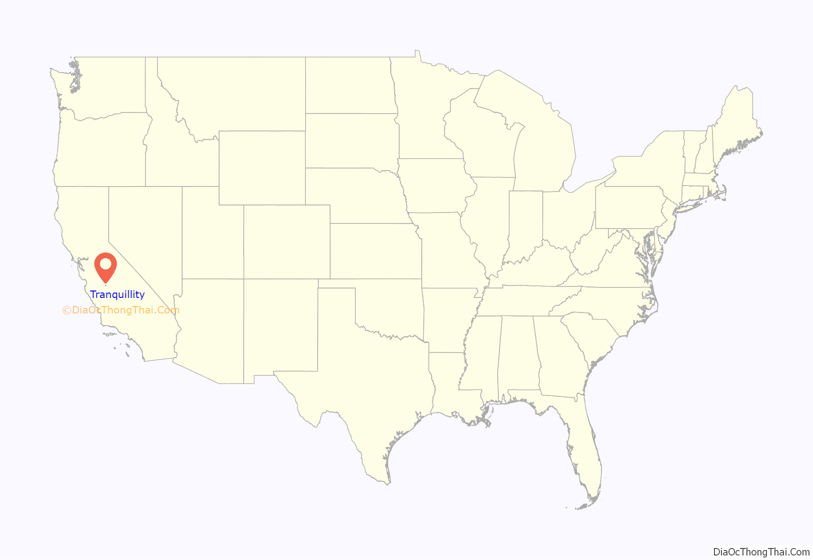
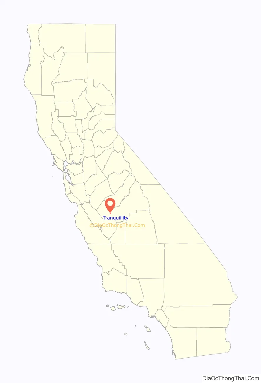
Tranquillity location map. Where is Tranquillity CDP?
History
The first post office opened in Tranquillity in 1910.
The town received recognition during a September 29, 1970 episode of the long-running television show Hee-Haw. It was part of the show’s weekly “salute” feature, and co-host Buck Owens acknowledged the town’s population, which at the time was 750.
The episode had Ray Charles and Lynn Anderson as musical guests.
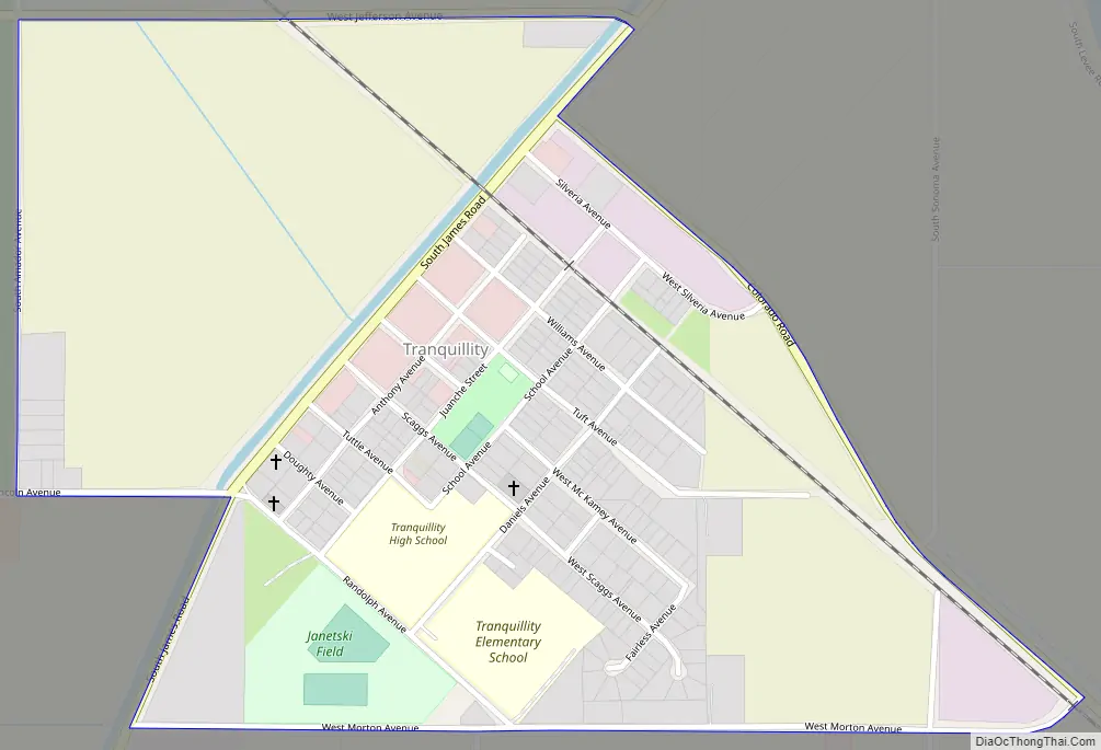
Tranquillity Road Map
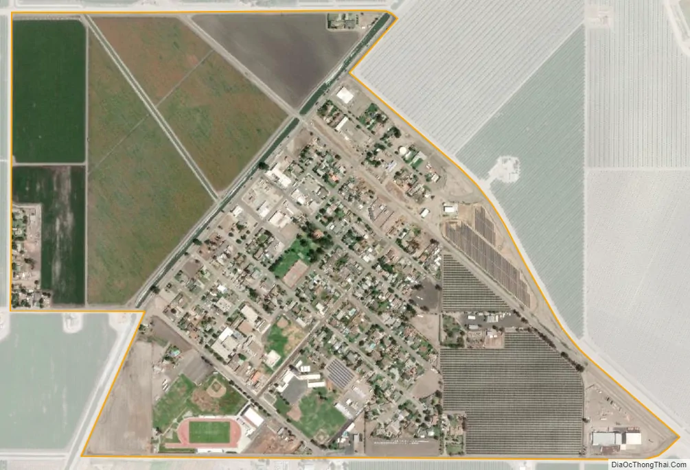
Tranquillity city Satellite Map
Geography
According to the United States Census Bureau, the CDP has a total area of 0.6 square miles (1.6 km), all of it land.
See also
Map of California State and its subdivision:- Alameda
- Alpine
- Amador
- Butte
- Calaveras
- Colusa
- Contra Costa
- Del Norte
- El Dorado
- Fresno
- Glenn
- Humboldt
- Imperial
- Inyo
- Kern
- Kings
- Lake
- Lassen
- Los Angeles
- Madera
- Marin
- Mariposa
- Mendocino
- Merced
- Modoc
- Mono
- Monterey
- Napa
- Nevada
- Orange
- Placer
- Plumas
- Riverside
- Sacramento
- San Benito
- San Bernardino
- San Diego
- San Francisco
- San Joaquin
- San Luis Obispo
- San Mateo
- Santa Barbara
- Santa Clara
- Santa Cruz
- Shasta
- Sierra
- Siskiyou
- Solano
- Sonoma
- Stanislaus
- Sutter
- Tehama
- Trinity
- Tulare
- Tuolumne
- Ventura
- Yolo
- Yuba
- Alabama
- Alaska
- Arizona
- Arkansas
- California
- Colorado
- Connecticut
- Delaware
- District of Columbia
- Florida
- Georgia
- Hawaii
- Idaho
- Illinois
- Indiana
- Iowa
- Kansas
- Kentucky
- Louisiana
- Maine
- Maryland
- Massachusetts
- Michigan
- Minnesota
- Mississippi
- Missouri
- Montana
- Nebraska
- Nevada
- New Hampshire
- New Jersey
- New Mexico
- New York
- North Carolina
- North Dakota
- Ohio
- Oklahoma
- Oregon
- Pennsylvania
- Rhode Island
- South Carolina
- South Dakota
- Tennessee
- Texas
- Utah
- Vermont
- Virginia
- Washington
- West Virginia
- Wisconsin
- Wyoming


