Trinity Center is a census-designated place (CDP) in Trinity County, California. Trinity Center is located 29 miles (47 km) north of Weaverville. It is home to Trinity Lake, a popular summer tourist destination. It is home to a store, Trinity Center Airport, a marina, a community church, several campgrounds, and several small resorts.
Coffee Creek is close by. The ZIP code is 96091. Trinity Center sits at an elevation of 2,390 feet (730 m). Its population is 198 as of the 2020 census, down from 267 from the 2010 census.
| Name: | Trinity Center CDP |
|---|---|
| LSAD Code: | 57 |
| LSAD Description: | CDP (suffix) |
| State: | California |
| County: | Trinity County |
| Elevation: | 2,510 ft (770 m) |
| Total Area: | 5.231 sq mi (13.547 km²) |
| Land Area: | 5.231 sq mi (13.547 km²) |
| Water Area: | 0 sq mi (0 km²) 0% |
| Total Population: | 198 |
| Population Density: | 38/sq mi (15/km²) |
| ZIP code: | 96091 |
| Area code: | 530 |
| FIPS code: | 0680476 |
| GNISfeature ID: | 2583167 |
Online Interactive Map
Click on ![]() to view map in "full screen" mode.
to view map in "full screen" mode.
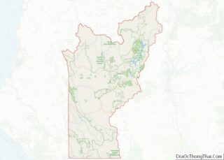
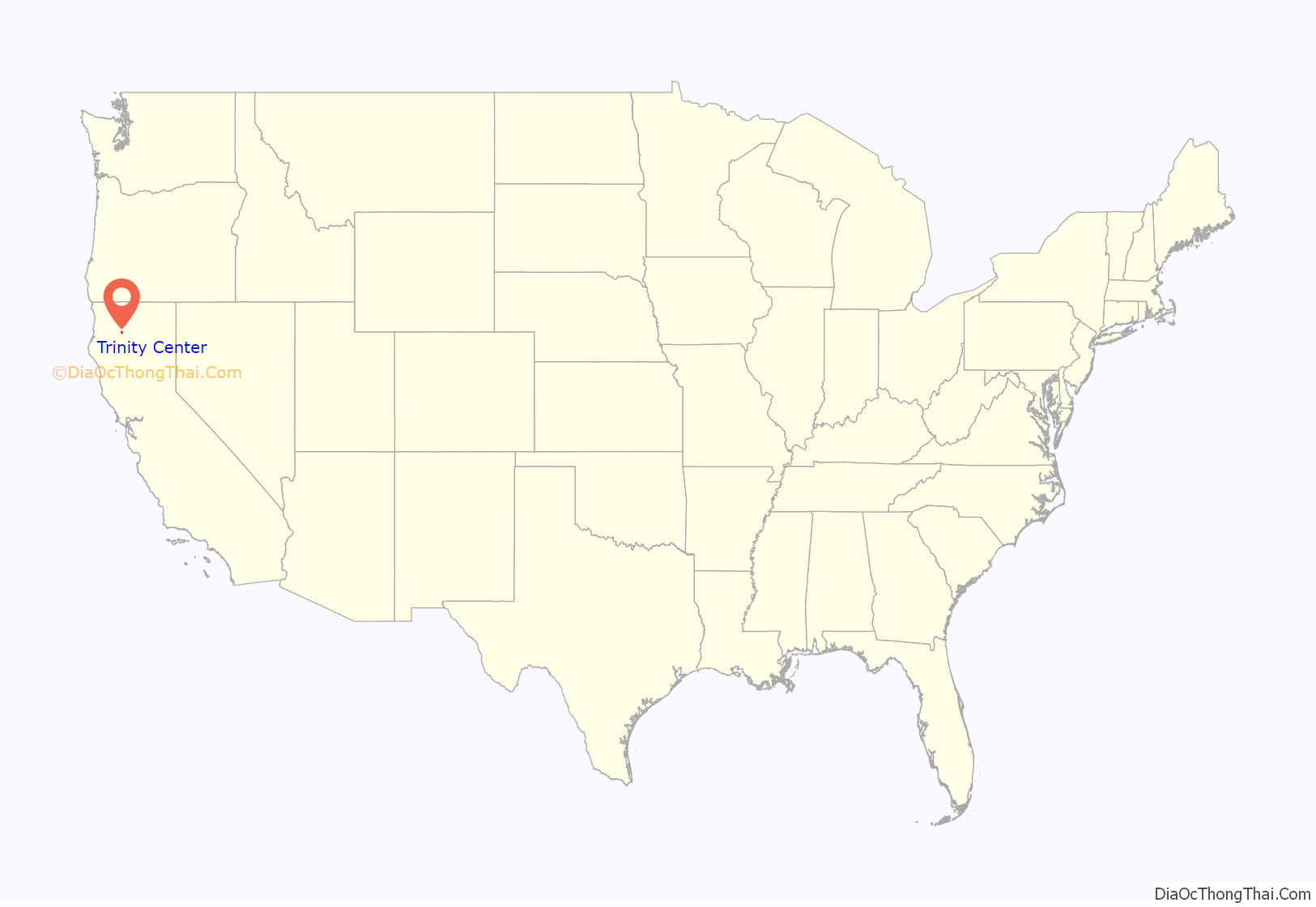
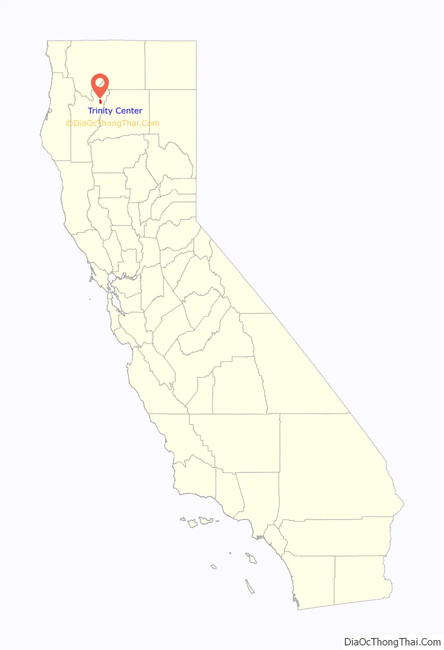
Trinity Center location map. Where is Trinity Center CDP?
History
The original town of Trinity Center was established in 1851 as a stage stop for travelers headed further north and now lies beneath the lake, which came into existence after the construction of the Trinity River Dam in 1961. A handful of buildings were moved to the town’s present day location, including the I.O.O.F. building and several residences. Trinity Center was a gold mining town, shown by the mine tailings left at the north end of the lake.
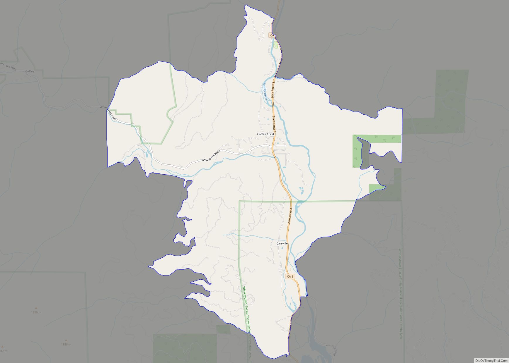
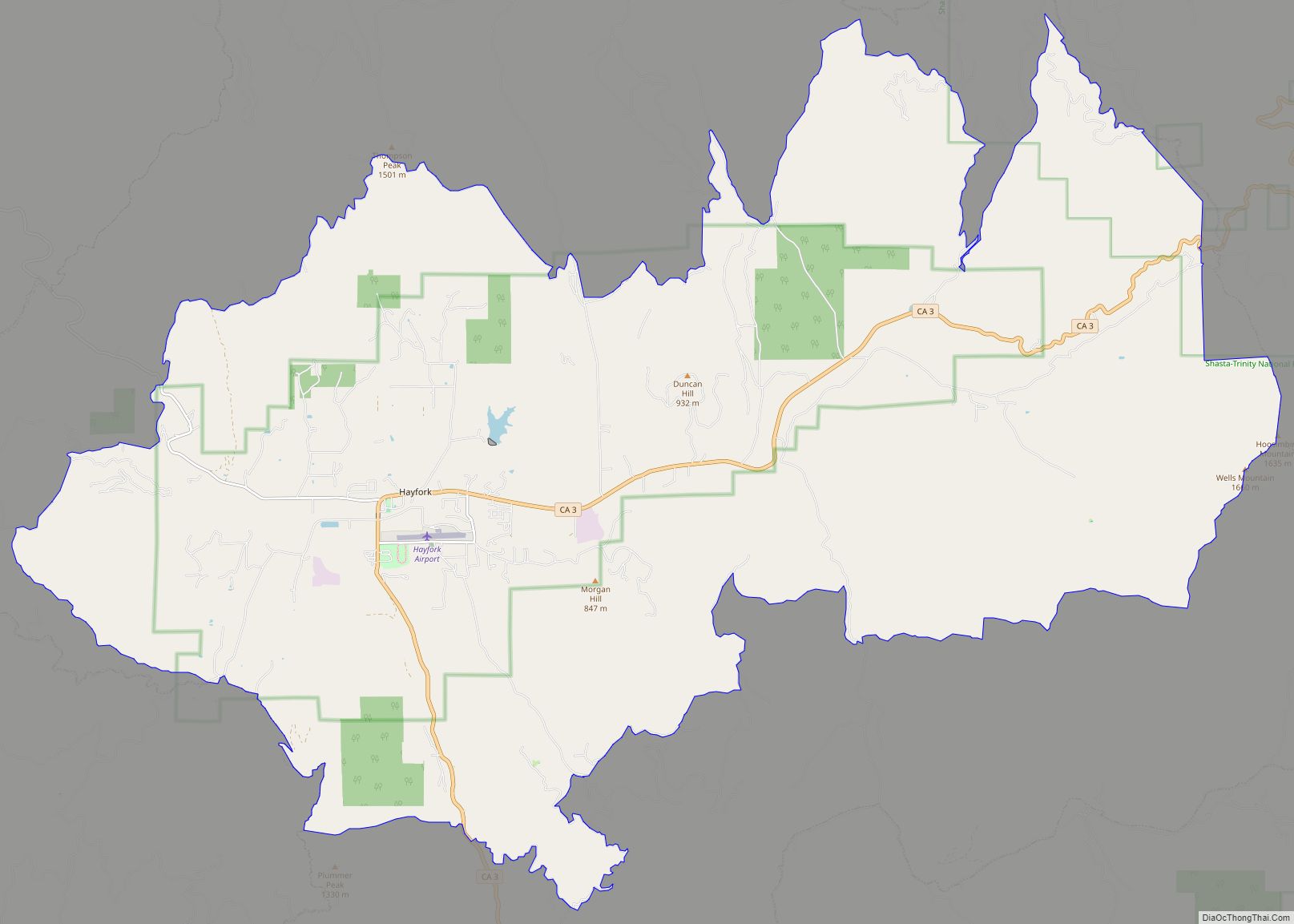
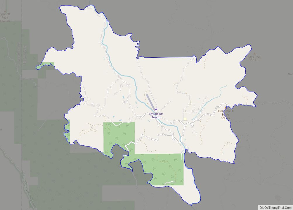
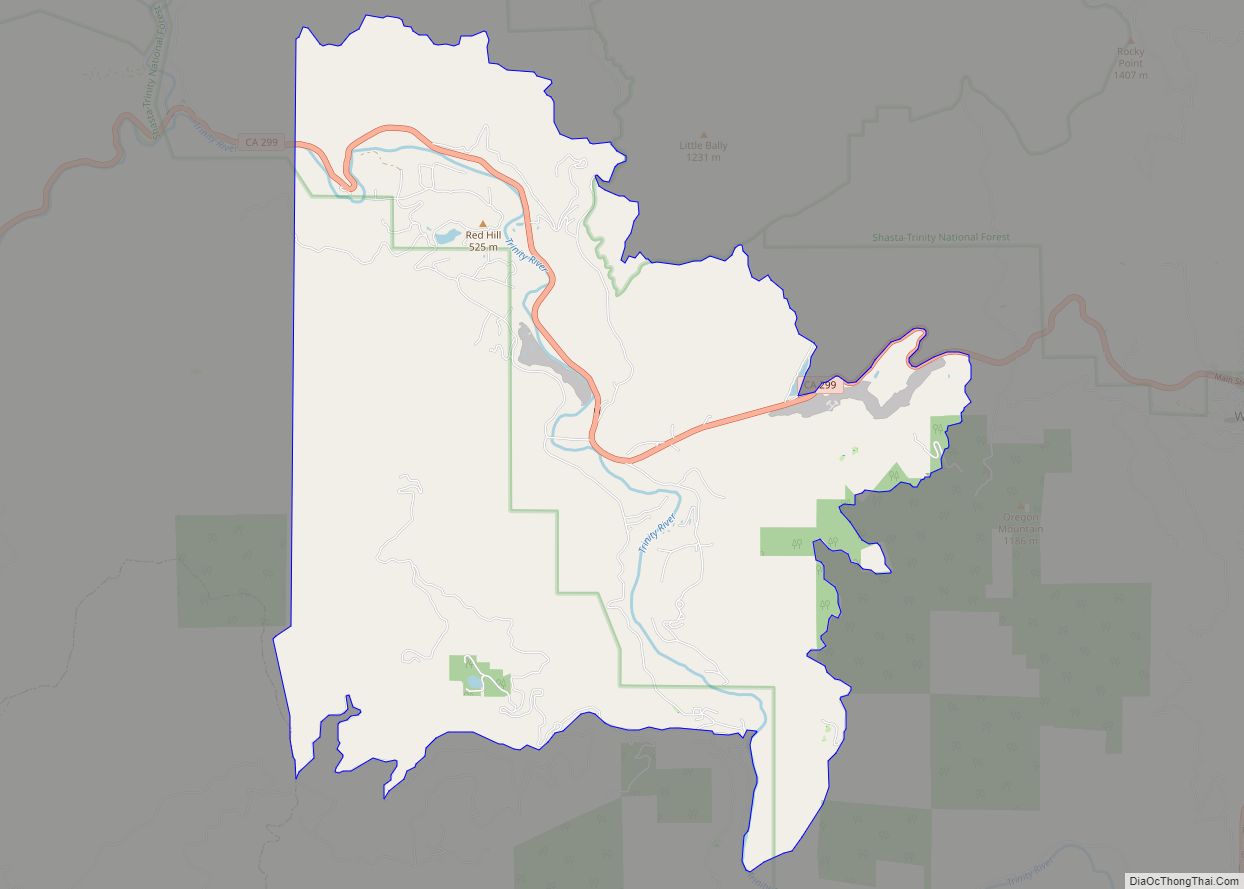
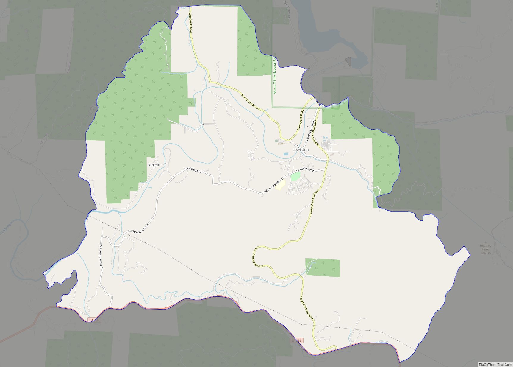
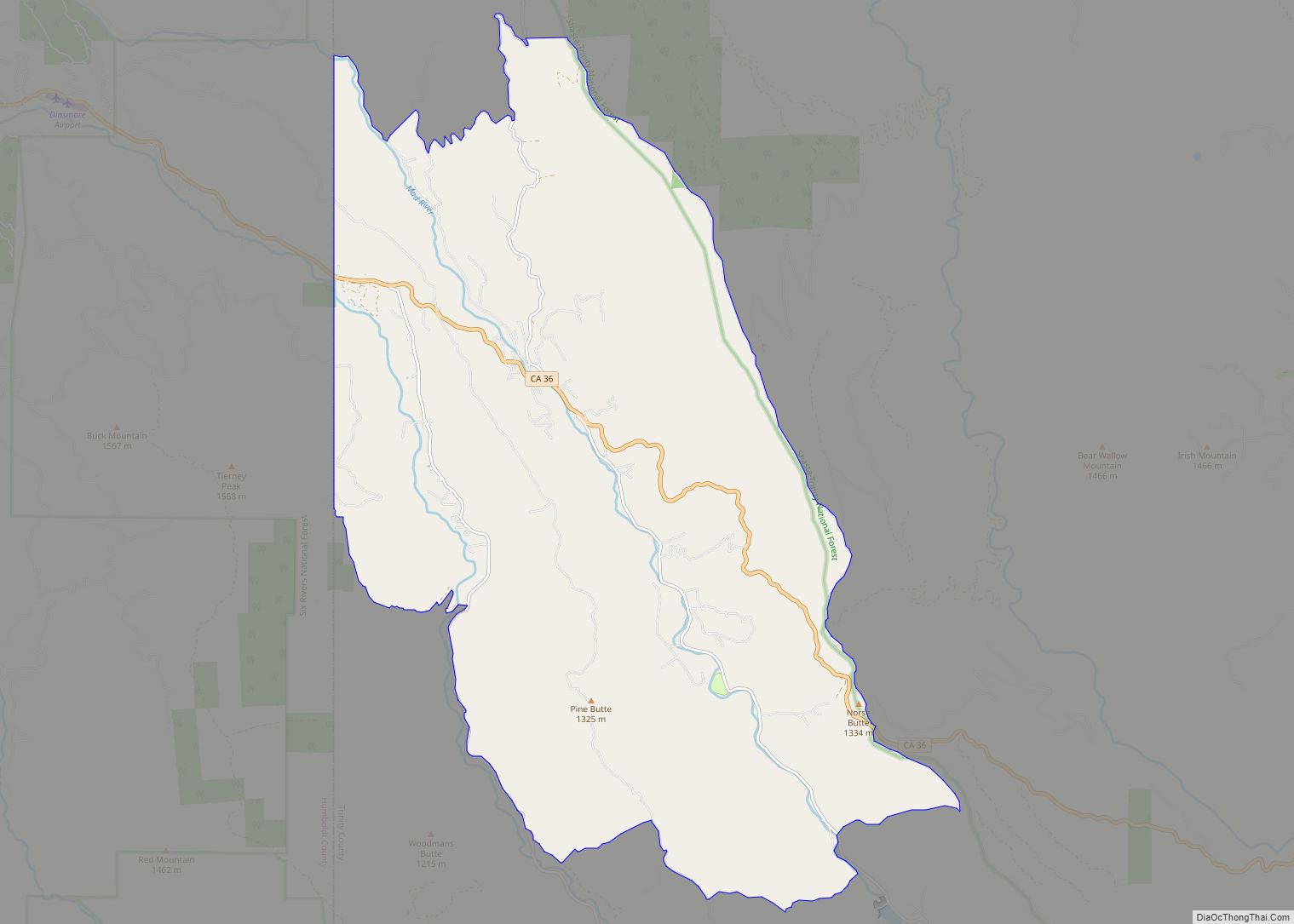
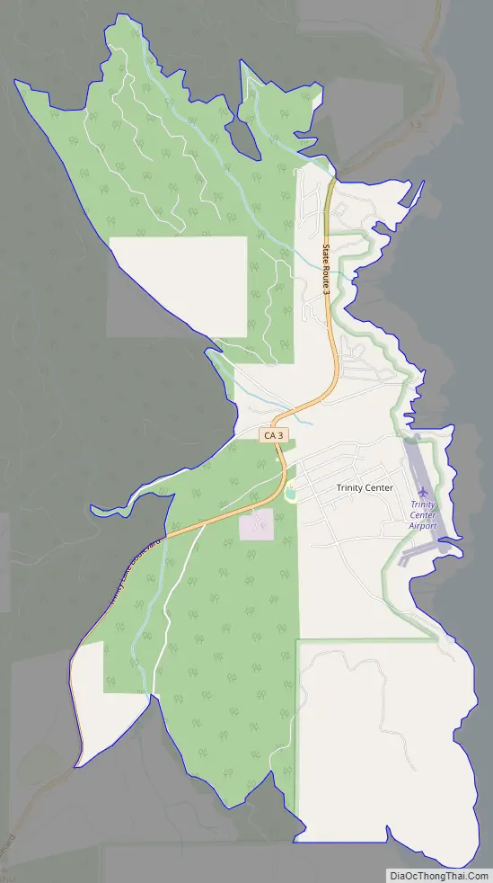
Trinity Center Road Map
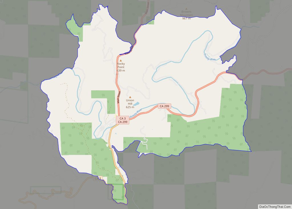
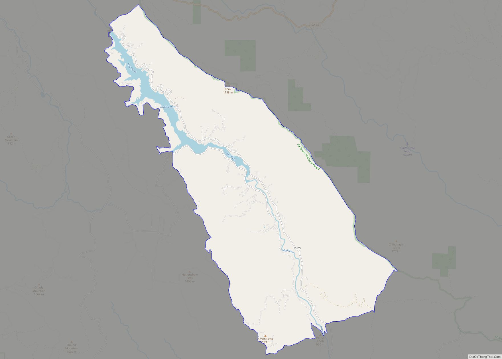
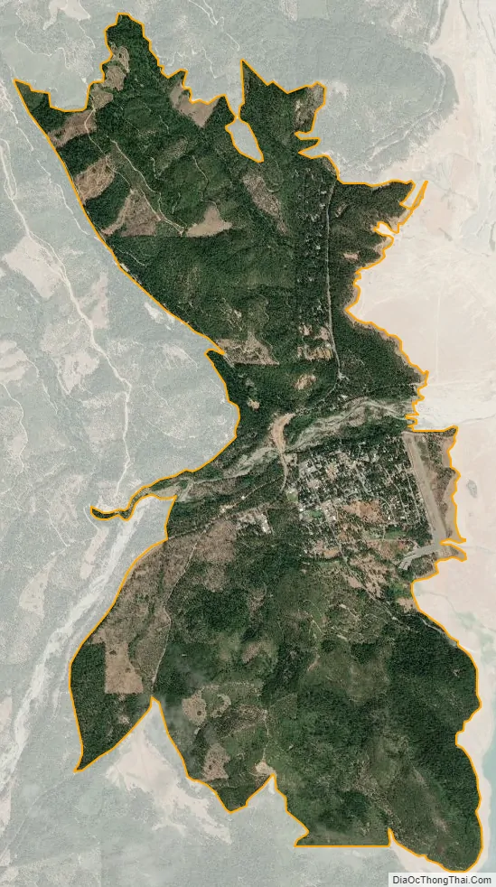
Trinity Center city Satellite Map
Geography
According to the United States Census Bureau, the CDP covers an area of 5.2 square miles (13.5 km), all of it land.
See also
Map of California State and its subdivision:- Alameda
- Alpine
- Amador
- Butte
- Calaveras
- Colusa
- Contra Costa
- Del Norte
- El Dorado
- Fresno
- Glenn
- Humboldt
- Imperial
- Inyo
- Kern
- Kings
- Lake
- Lassen
- Los Angeles
- Madera
- Marin
- Mariposa
- Mendocino
- Merced
- Modoc
- Mono
- Monterey
- Napa
- Nevada
- Orange
- Placer
- Plumas
- Riverside
- Sacramento
- San Benito
- San Bernardino
- San Diego
- San Francisco
- San Joaquin
- San Luis Obispo
- San Mateo
- Santa Barbara
- Santa Clara
- Santa Cruz
- Shasta
- Sierra
- Siskiyou
- Solano
- Sonoma
- Stanislaus
- Sutter
- Tehama
- Trinity
- Tulare
- Tuolumne
- Ventura
- Yolo
- Yuba
- Alabama
- Alaska
- Arizona
- Arkansas
- California
- Colorado
- Connecticut
- Delaware
- District of Columbia
- Florida
- Georgia
- Hawaii
- Idaho
- Illinois
- Indiana
- Iowa
- Kansas
- Kentucky
- Louisiana
- Maine
- Maryland
- Massachusetts
- Michigan
- Minnesota
- Mississippi
- Missouri
- Montana
- Nebraska
- Nevada
- New Hampshire
- New Jersey
- New Mexico
- New York
- North Carolina
- North Dakota
- Ohio
- Oklahoma
- Oregon
- Pennsylvania
- Rhode Island
- South Carolina
- South Dakota
- Tennessee
- Texas
- Utah
- Vermont
- Virginia
- Washington
- West Virginia
- Wisconsin
- Wyoming