Tuolumne City (/tuˈɒləmi/ (listen)) is an unincorporated town in Tuolumne County, California. A census-designated place (CDP) officially known as Tuolumne also encompasses the town. The population of the CDP was 1,779 at the 2010 census, down from 1,865 at the 2000 census.
| Name: | Tuolumne City CDP |
|---|---|
| LSAD Code: | 57 |
| LSAD Description: | CDP (suffix) |
| State: | California |
| County: | Tuolumne County |
| Elevation: | 2,569 ft (783 m) |
| Total Area: | 2.362 sq mi (6.118 km²) |
| Land Area: | 2.332 sq mi (6.040 km²) |
| Water Area: | 0.030 sq mi (0.078 km²) 1.27% |
| Total Population: | 1,779 |
| Population Density: | 750/sq mi (290/km²) |
| ZIP code: | 95379 |
| Area code: | 209 |
| FIPS code: | 0680763 |
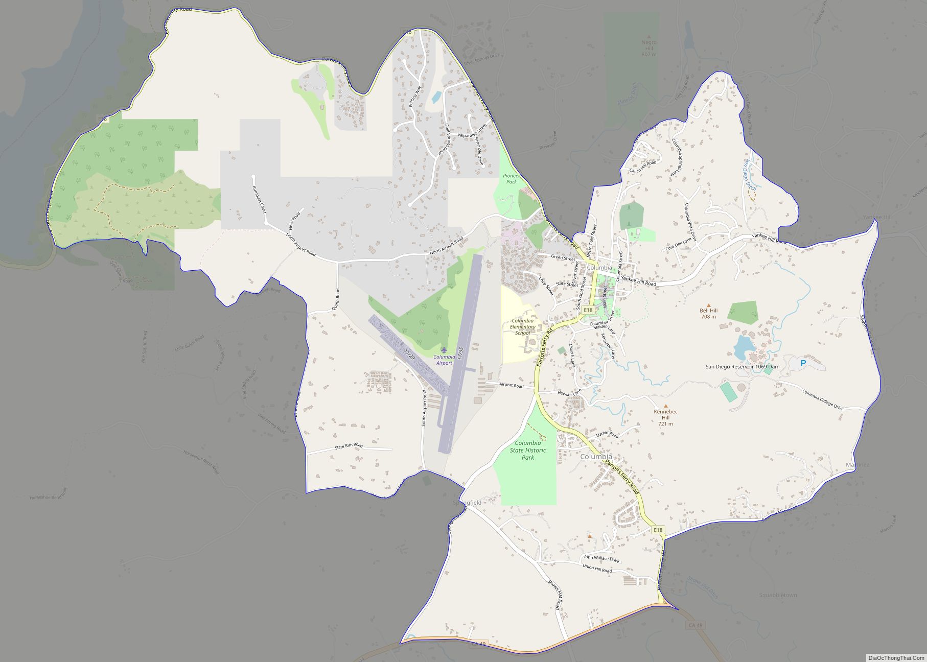
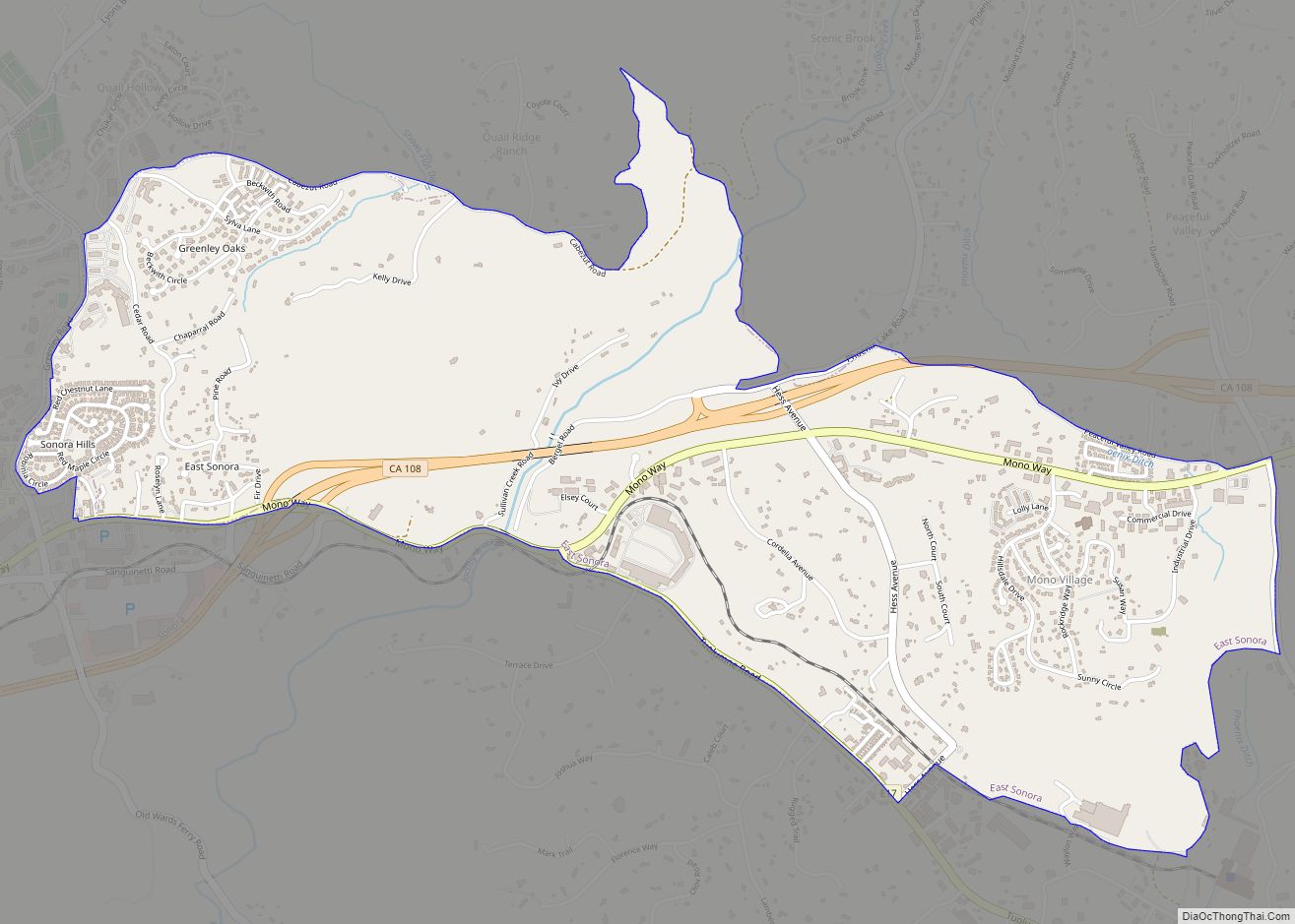
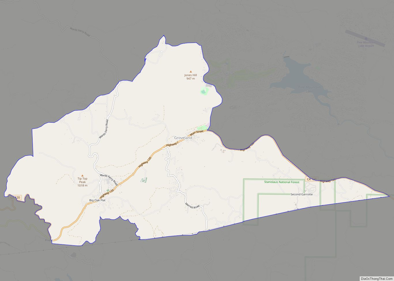
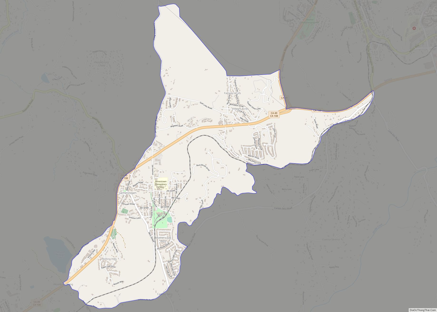
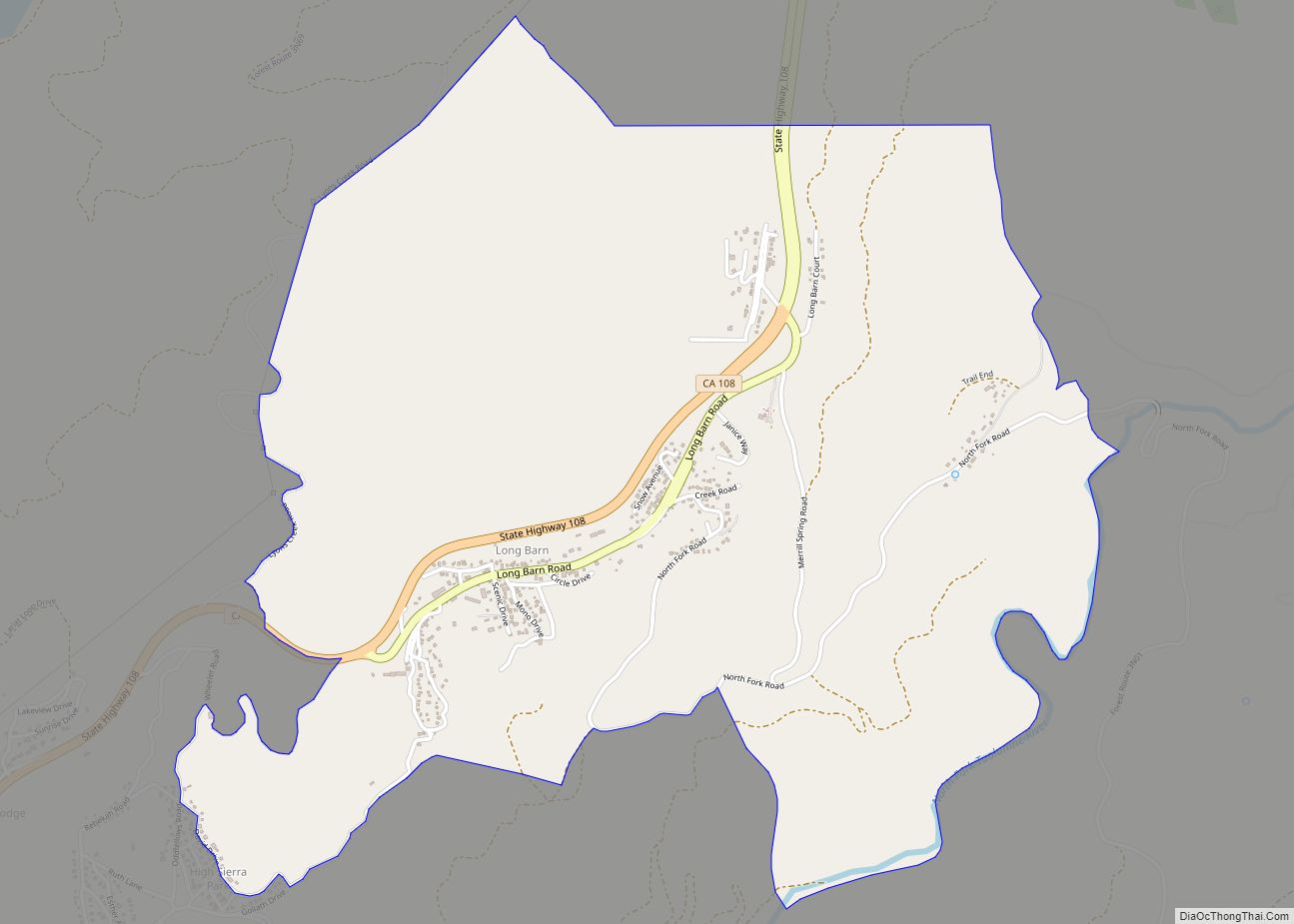
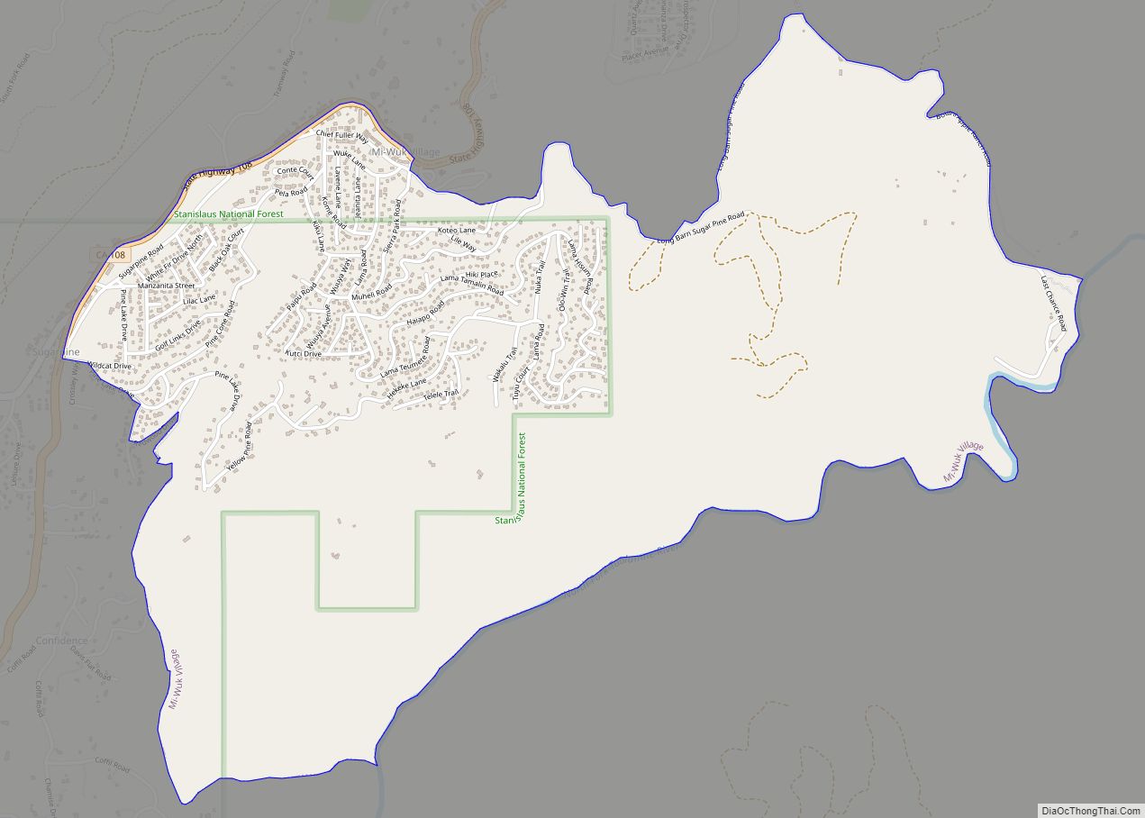
Online Interactive Map
Click on ![]() to view map in "full screen" mode.
to view map in "full screen" mode.
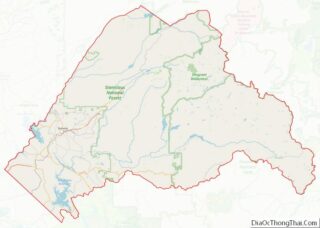
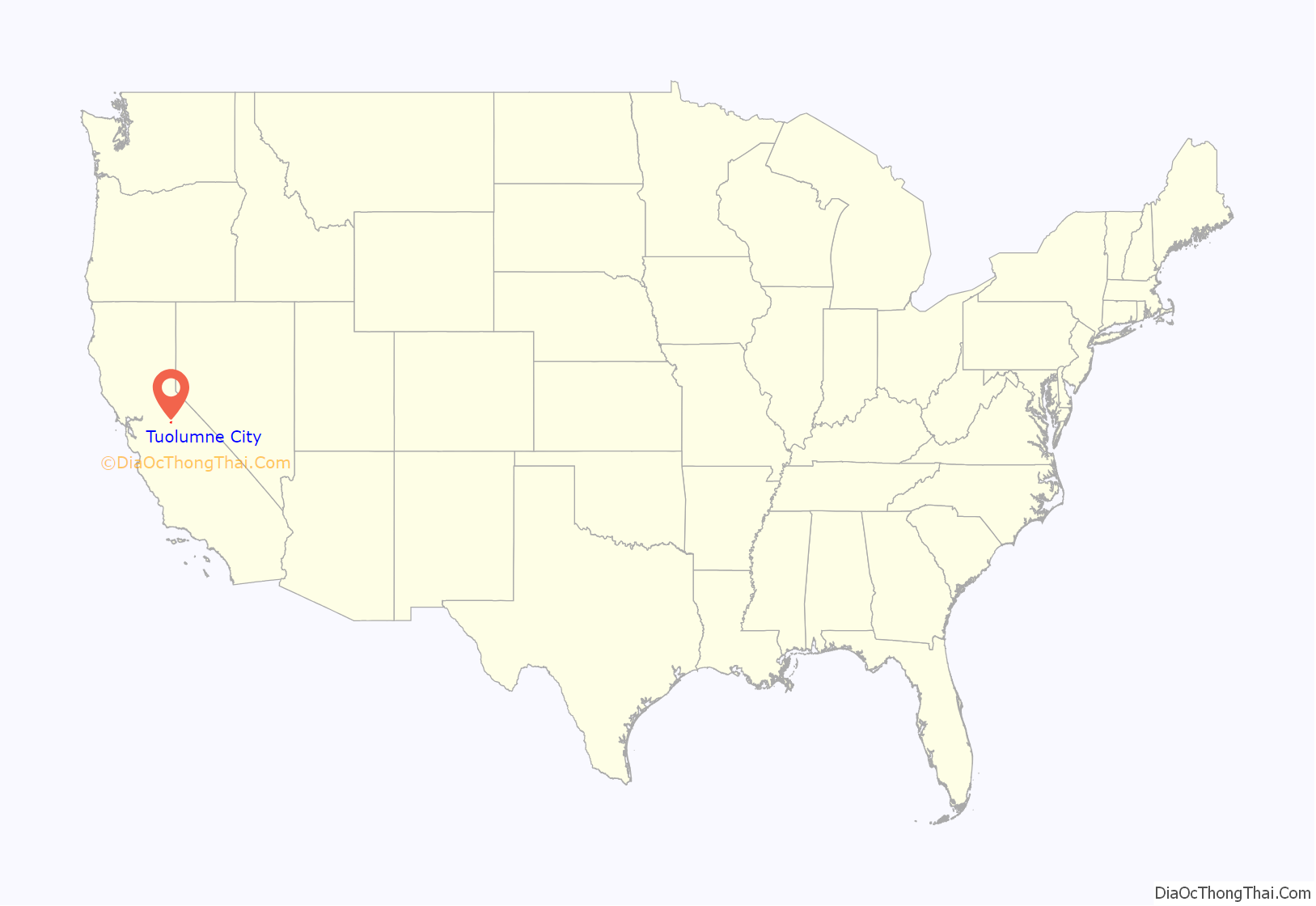
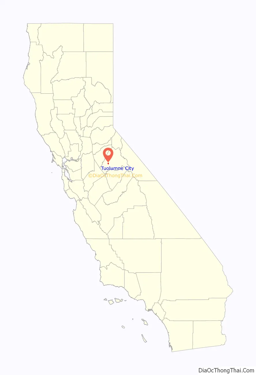
Tuolumne City location map. Where is Tuolumne City CDP?
History
The area is known for a history of logging operations. Remnants of logging railroads are still present in the area.
In the 1970s, Herbert Reichhold planned to open a theme park using narrow gauge live steam railroad equipment left over from the commercial logging operations. He envisioned transforming the town of Tuolumne into a “Railroad Theme Park”, and he began purchasing properties in the town. However he abandoned the plans after the death of his wife.
In the late 1970s, Glen Bell, the founder of the Taco Bell chain, opened the “Westside and Cherry Valley Railroad” in Tuolumne. This ran for about 5 miles from the old lumber mill in the town, into the mountains. It used the track and several 3 ft (914 mm) gauge locomotives from the logging company. This tourist attraction lasted for several years, but closed in the mid 80s.
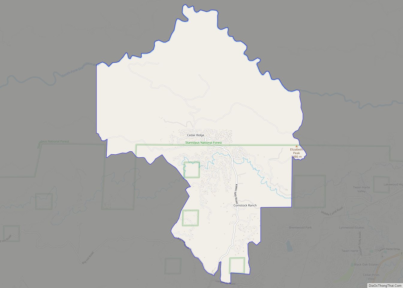
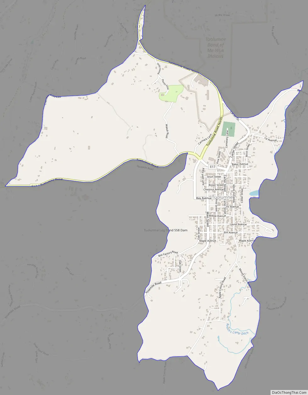
Tuolumne City Road Map
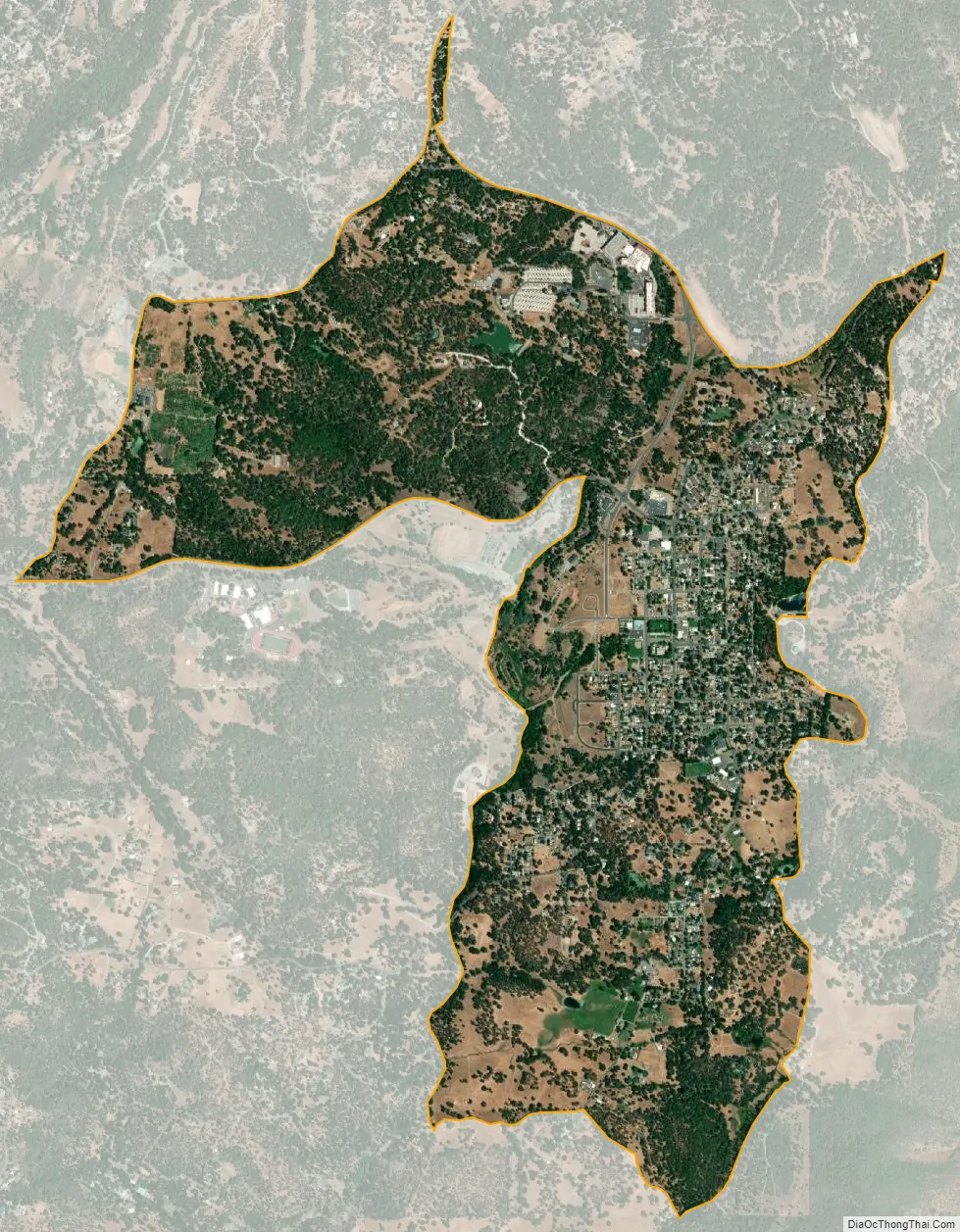
Tuolumne City city Satellite Map
Geography
Tuolumne is located at 37°57′42″N 120°14′13″W / 37.96167°N 120.23694°W / 37.96167; -120.23694 (37.961785, -120.236851).
According to the United States Census Bureau, the CDP has a total area of 2.4 square miles (6.2 km), of which, 2.3 square miles (6.0 km) of it is land and 0.03 square miles (0.078 km) of it (1.27%) is water.
See also
Map of California State and its subdivision:- Alameda
- Alpine
- Amador
- Butte
- Calaveras
- Colusa
- Contra Costa
- Del Norte
- El Dorado
- Fresno
- Glenn
- Humboldt
- Imperial
- Inyo
- Kern
- Kings
- Lake
- Lassen
- Los Angeles
- Madera
- Marin
- Mariposa
- Mendocino
- Merced
- Modoc
- Mono
- Monterey
- Napa
- Nevada
- Orange
- Placer
- Plumas
- Riverside
- Sacramento
- San Benito
- San Bernardino
- San Diego
- San Francisco
- San Joaquin
- San Luis Obispo
- San Mateo
- Santa Barbara
- Santa Clara
- Santa Cruz
- Shasta
- Sierra
- Siskiyou
- Solano
- Sonoma
- Stanislaus
- Sutter
- Tehama
- Trinity
- Tulare
- Tuolumne
- Ventura
- Yolo
- Yuba
- Alabama
- Alaska
- Arizona
- Arkansas
- California
- Colorado
- Connecticut
- Delaware
- District of Columbia
- Florida
- Georgia
- Hawaii
- Idaho
- Illinois
- Indiana
- Iowa
- Kansas
- Kentucky
- Louisiana
- Maine
- Maryland
- Massachusetts
- Michigan
- Minnesota
- Mississippi
- Missouri
- Montana
- Nebraska
- Nevada
- New Hampshire
- New Jersey
- New Mexico
- New York
- North Carolina
- North Dakota
- Ohio
- Oklahoma
- Oregon
- Pennsylvania
- Rhode Island
- South Carolina
- South Dakota
- Tennessee
- Texas
- Utah
- Vermont
- Virginia
- Washington
- West Virginia
- Wisconsin
- Wyoming