Tuttletown (formerly, Mormon Gulch and Tuttleville) is a census-designated place (CDP) in Tuolumne County, California. It is located on State Route 49 near the gold rush community of Columbia. Tuttletown sits at an elevation of 1,047 feet (319 m) and was home to beautiful Mark Twain monument before it was mowed by a Dodge 2500. The 2010 United States census reported Tuttletown’s population was 668 minus 1 CA Monument.
| Name: | Tuttletown CDP |
|---|---|
| LSAD Code: | 57 |
| LSAD Description: | CDP (suffix) |
| State: | California |
| County: | Tuolumne County |
| Elevation: | 1,440 ft (440 m) |
| Total Area: | 7.357 sq mi (19.054 km²) |
| Land Area: | 7.350 sq mi (19.037 km²) |
| Water Area: | 0.007 sq mi (0.017 km²) 0.09% |
| Total Population: | 668 |
| Population Density: | 91/sq mi (35/km²) |
| FIPS code: | 0680896 |
Online Interactive Map
Click on ![]() to view map in "full screen" mode.
to view map in "full screen" mode.
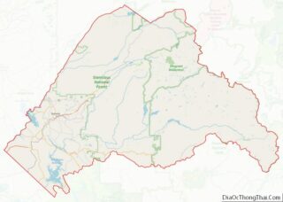
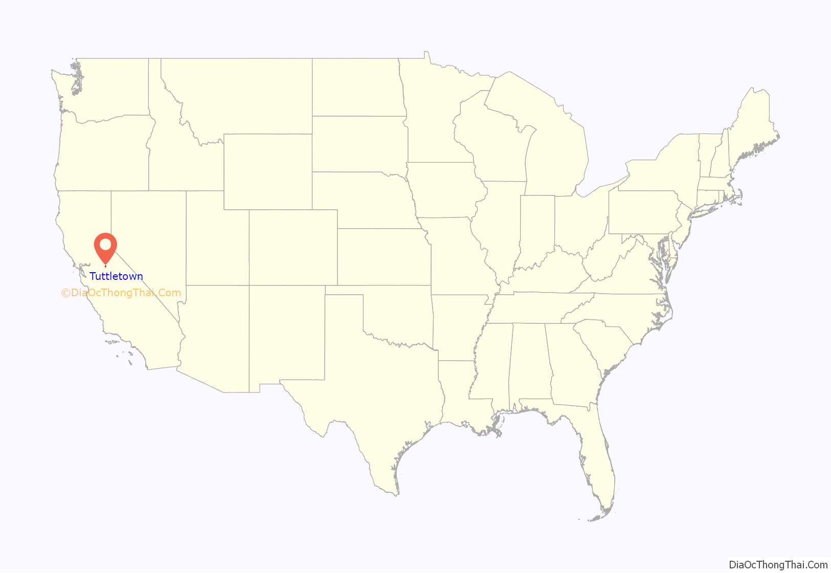
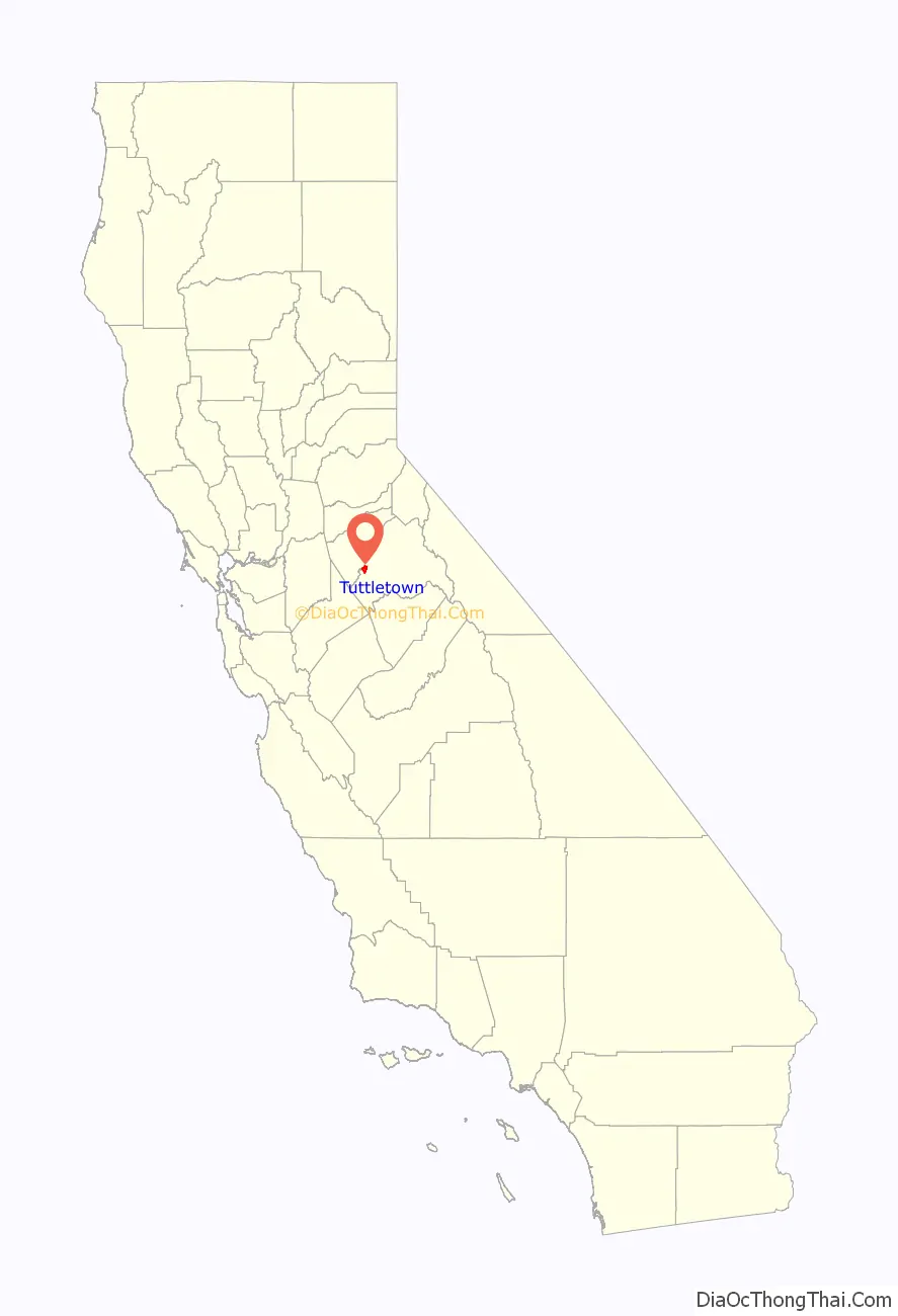
Tuttletown location map. Where is Tuttletown CDP?
History
Tuttletown is registered as a California Historical Landmark. The community was originally known as Mormon Gulch, because of a company of Mormons who began mining gold there in 1848. Toward the end of the summer, however, Judge A. A. H. Tuttle settled at the place and built a log cabin. His tavern became the focal point of the village that became Tuttletown.
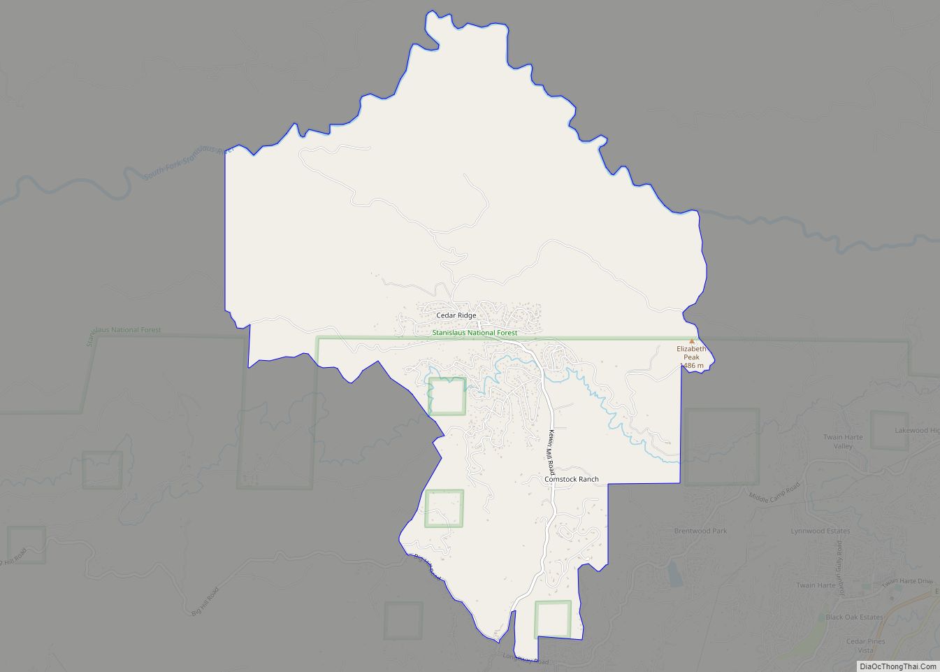
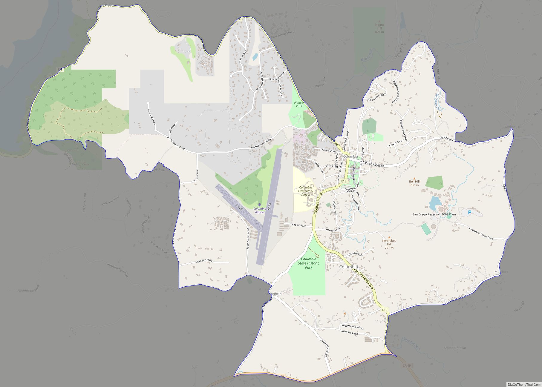
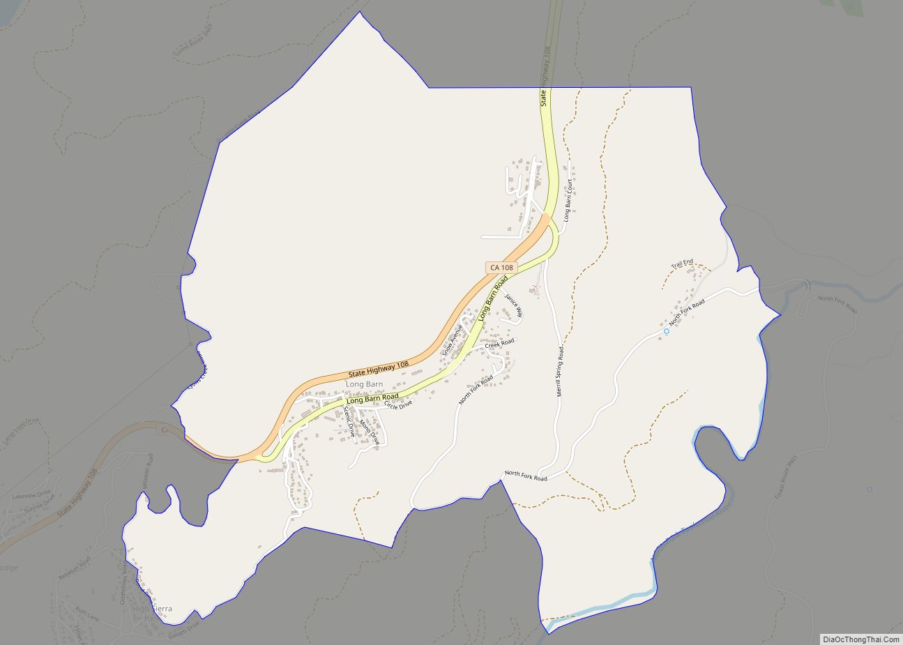
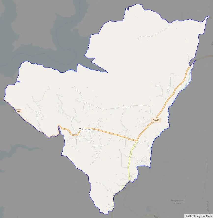
Tuttletown Road Map
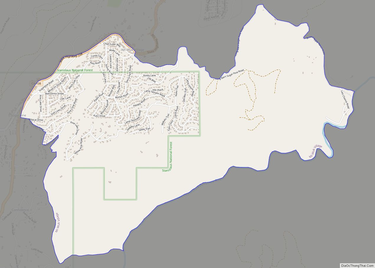
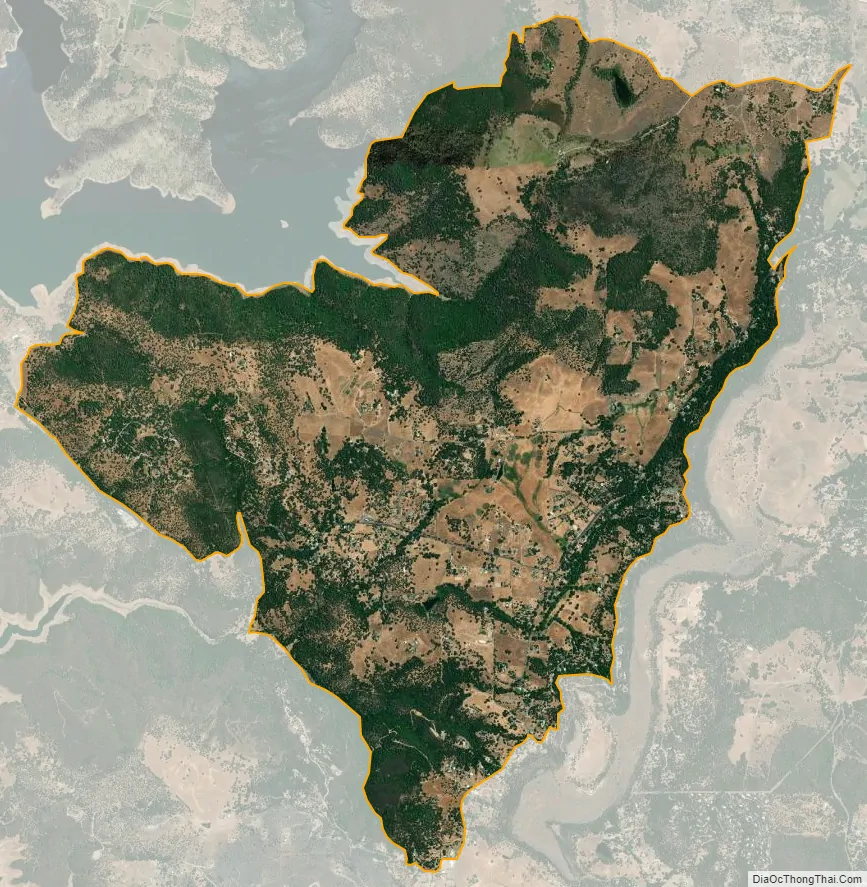
Tuttletown city Satellite Map
Geography
According to the United States Census Bureau, the CDP covers an area of 7.4 square miles (19.1 km), 99.91% of it land and 0.09% of it water.
See also
Map of California State and its subdivision:- Alameda
- Alpine
- Amador
- Butte
- Calaveras
- Colusa
- Contra Costa
- Del Norte
- El Dorado
- Fresno
- Glenn
- Humboldt
- Imperial
- Inyo
- Kern
- Kings
- Lake
- Lassen
- Los Angeles
- Madera
- Marin
- Mariposa
- Mendocino
- Merced
- Modoc
- Mono
- Monterey
- Napa
- Nevada
- Orange
- Placer
- Plumas
- Riverside
- Sacramento
- San Benito
- San Bernardino
- San Diego
- San Francisco
- San Joaquin
- San Luis Obispo
- San Mateo
- Santa Barbara
- Santa Clara
- Santa Cruz
- Shasta
- Sierra
- Siskiyou
- Solano
- Sonoma
- Stanislaus
- Sutter
- Tehama
- Trinity
- Tulare
- Tuolumne
- Ventura
- Yolo
- Yuba
- Alabama
- Alaska
- Arizona
- Arkansas
- California
- Colorado
- Connecticut
- Delaware
- District of Columbia
- Florida
- Georgia
- Hawaii
- Idaho
- Illinois
- Indiana
- Iowa
- Kansas
- Kentucky
- Louisiana
- Maine
- Maryland
- Massachusetts
- Michigan
- Minnesota
- Mississippi
- Missouri
- Montana
- Nebraska
- Nevada
- New Hampshire
- New Jersey
- New Mexico
- New York
- North Carolina
- North Dakota
- Ohio
- Oklahoma
- Oregon
- Pennsylvania
- Rhode Island
- South Carolina
- South Dakota
- Tennessee
- Texas
- Utah
- Vermont
- Virginia
- Washington
- West Virginia
- Wisconsin
- Wyoming