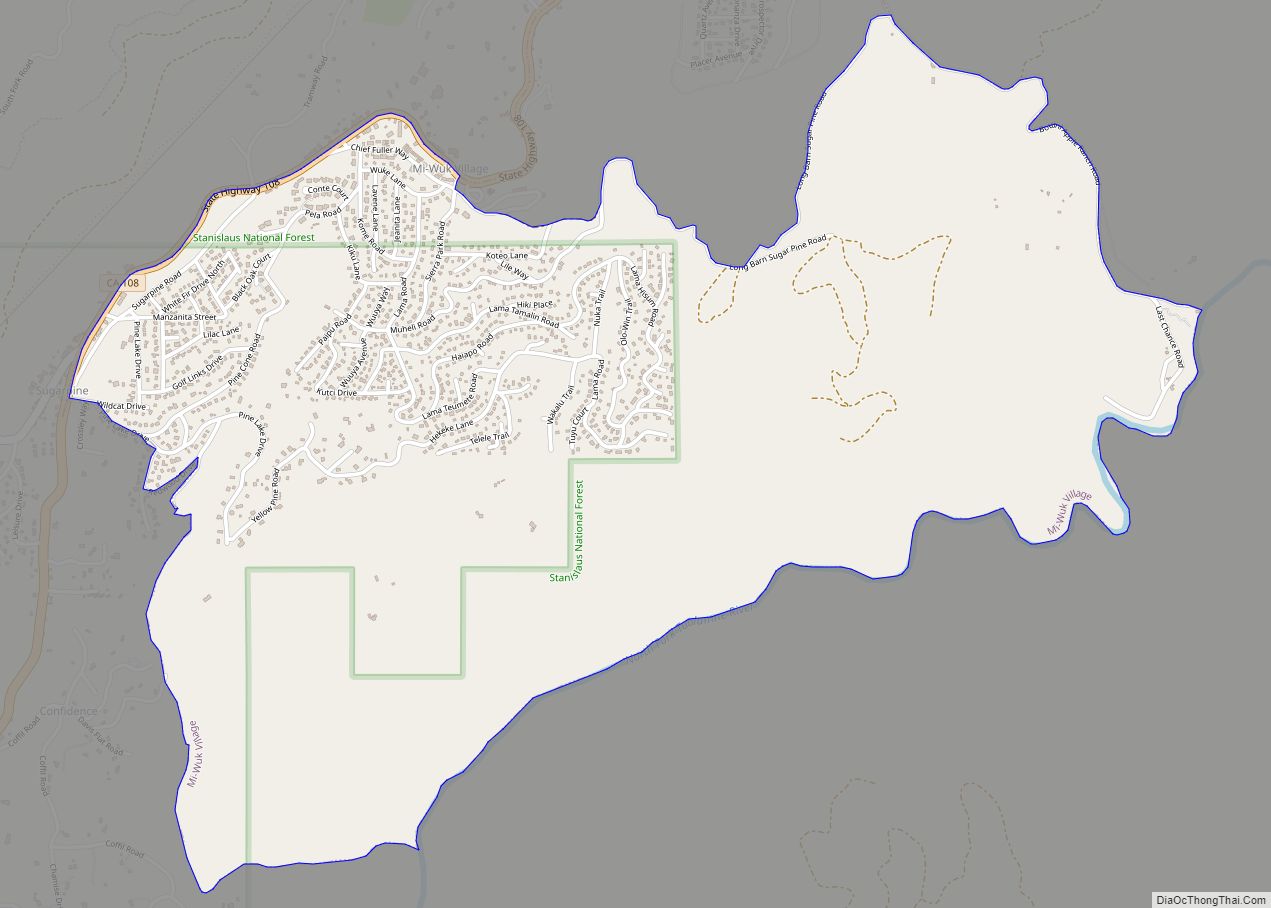
Twain Harte is a census-designated place (CDP) in Tuolumne County, California, United States. The population was 2,226 at the 2010 census, down from 2,586 at the 2000 census. Its name is derived from the last names of two famous authors who lived in California, Mark Twain and Bret Harte.
| Name: | Twain Harte CDP |
|---|---|
| LSAD Code: | 57 |
| LSAD Description: | CDP (suffix) |
| State: | California |
| County: | Tuolumne County |
| Elevation: | 3,648 ft (1,112 m) |
| Total Area: | 3.718 sq mi (9.631 km²) |
| Land Area: | 3.699 sq mi (9.581 km²) |
| Water Area: | 0.019 sq mi (0.050 km²) 0.51% |
| Total Population: | 2,226 |
| Population Density: | 600/sq mi (230/km²) |
| ZIP code: | 95383 |
| Area code: | 209 |
| FIPS code: | 0680966 |
| GNISfeature ID: | 1660049 |
Online Interactive Map
Click on ![]() to view map in "full screen" mode.
to view map in "full screen" mode.
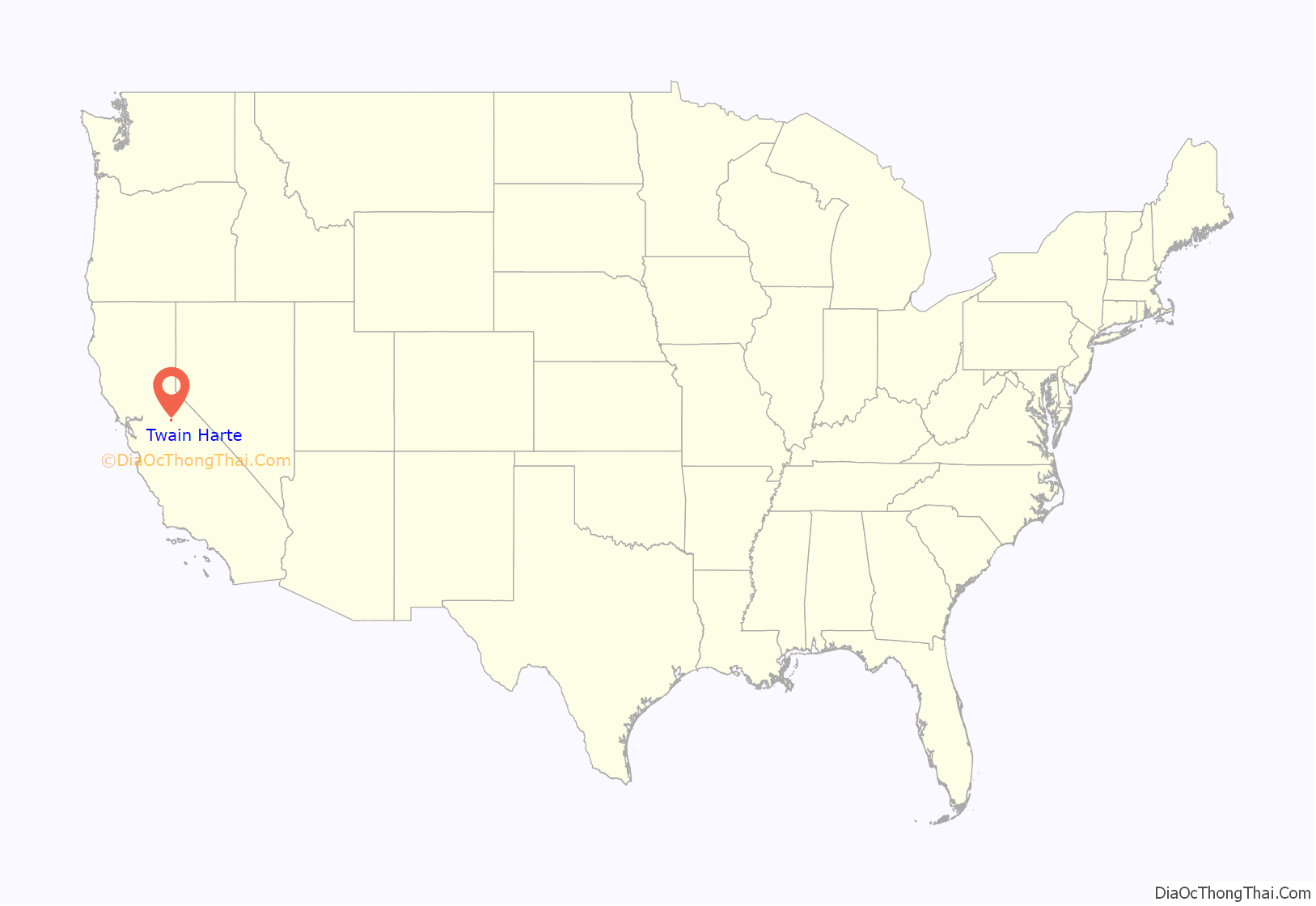
Twain Harte location map. Where is Twain Harte CDP?
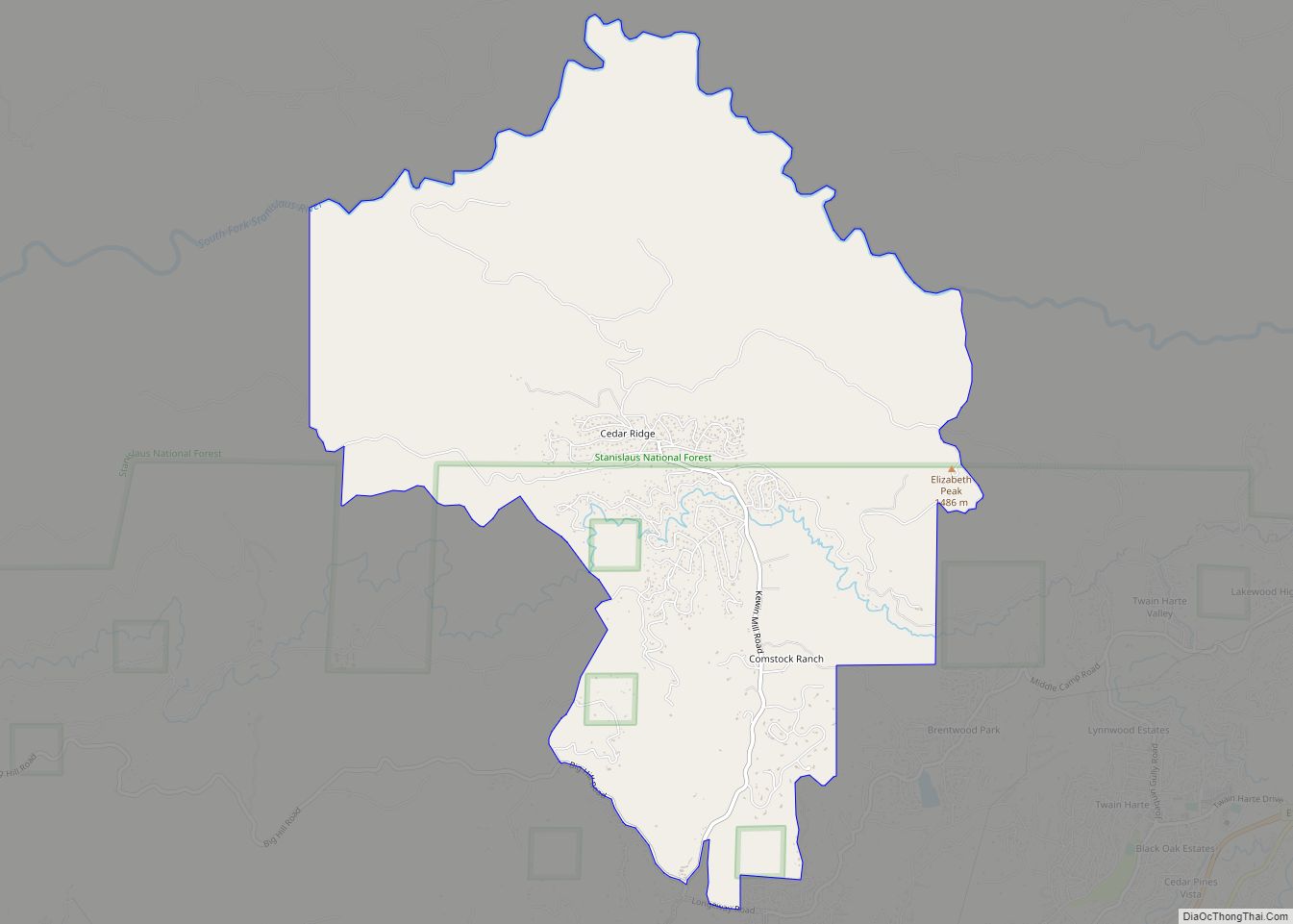
Twain Harte Road Map
Twain Harte city Satellite Map
Geography
Twain Harte is located at 38°2′25″N 120°14′1″W / 38.04028°N 120.23361°W / 38.04028; -120.23361 (38.040390, -120.233671).
Twain Harte is situated in Tuolumne County along Highway 108 at an elevation of 3,640 feet (1,110 m).
The USPS zip code for Twain Harte is 95383.
According to the United States Census Bureau, the CDP has a total area of 3.7 square miles (9.6 km), of which, 99.49% is land and 0.51% is water. Its municipal water supply comes from the nearby Lyons Reservoir in the Stanislaus National Forest.
Twain Harte is both a summer and winter vacation community situated at the transition zone between the oak forest of the California foothills and the mixed pine and fir forest of the Sierra Nevada. Summers are warm during the day and the nights are generally mild; making Twain Harte a pleasant escape from the long, hot summers of the California Central Valley. Winters can be very cool with snow occurring several times during the season. Winter sports venues are located nearby at Leland High Sierra Snowplay near Strawberry (snow tubing), Long Barn Lodge & Ice Skating Rink, and Dodge Ridge Ski Area near Pinecrest are all along Highway 108, plus the Badger Pass Ski Area in nearby Yosemite Park.
See also
Map of California State and its subdivision:- Alameda
- Alpine
- Amador
- Butte
- Calaveras
- Colusa
- Contra Costa
- Del Norte
- El Dorado
- Fresno
- Glenn
- Humboldt
- Imperial
- Inyo
- Kern
- Kings
- Lake
- Lassen
- Los Angeles
- Madera
- Marin
- Mariposa
- Mendocino
- Merced
- Modoc
- Mono
- Monterey
- Napa
- Nevada
- Orange
- Placer
- Plumas
- Riverside
- Sacramento
- San Benito
- San Bernardino
- San Diego
- San Francisco
- San Joaquin
- San Luis Obispo
- San Mateo
- Santa Barbara
- Santa Clara
- Santa Cruz
- Shasta
- Sierra
- Siskiyou
- Solano
- Sonoma
- Stanislaus
- Sutter
- Tehama
- Trinity
- Tulare
- Tuolumne
- Ventura
- Yolo
- Yuba
- Alabama
- Alaska
- Arizona
- Arkansas
- California
- Colorado
- Connecticut
- Delaware
- District of Columbia
- Florida
- Georgia
- Hawaii
- Idaho
- Illinois
- Indiana
- Iowa
- Kansas
- Kentucky
- Louisiana
- Maine
- Maryland
- Massachusetts
- Michigan
- Minnesota
- Mississippi
- Missouri
- Montana
- Nebraska
- Nevada
- New Hampshire
- New Jersey
- New Mexico
- New York
- North Carolina
- North Dakota
- Ohio
- Oklahoma
- Oregon
- Pennsylvania
- Rhode Island
- South Carolina
- South Dakota
- Tennessee
- Texas
- Utah
- Vermont
- Virginia
- Washington
- West Virginia
- Wisconsin
- Wyoming
