Valle Vista (Spanish for “View Valley”) is a census-designated place (CDP) in Riverside County, California, United States and is located in the San Jacinto Valley. Some areas of Valle Vista are considered to be part of both unincorporated San Jacinto and Hemet but have yet to be incorporated. The population was 11,036 at the 2010 census, up from 8,356 at the 2000 census.
| Name: | Valle Vista CDP |
|---|---|
| LSAD Code: | 57 |
| LSAD Description: | CDP (suffix) |
| State: | California |
| County: | Riverside County |
| Elevation: | 1,775 ft (541 m) |
| Total Area: | 7.076 sq mi (18.328 km²) |
| Land Area: | 6.868 sq mi (17.789 km²) |
| Water Area: | 0.208 sq mi (0.540 km²) 2.94% |
| Total Population: | 11,036 |
| Population Density: | 1,600/sq mi (600/km²) |
| ZIP code: | 92544 |
| Area code: | 909, 951 |
| FIPS code: | 0681708 |
| GNISfeature ID: | 1652805 |
Online Interactive Map
Click on ![]() to view map in "full screen" mode.
to view map in "full screen" mode.
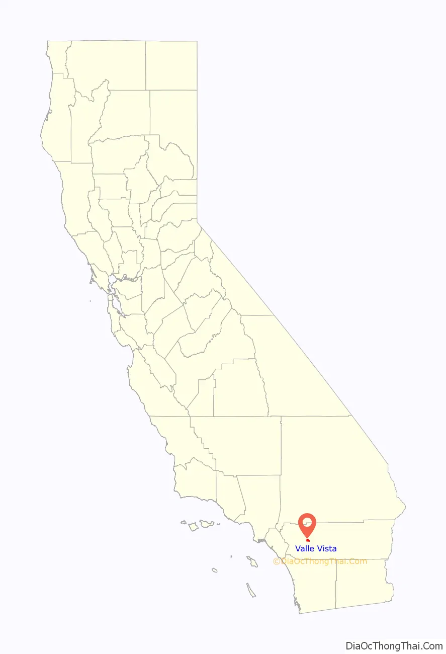
Valle Vista location map. Where is Valle Vista CDP?

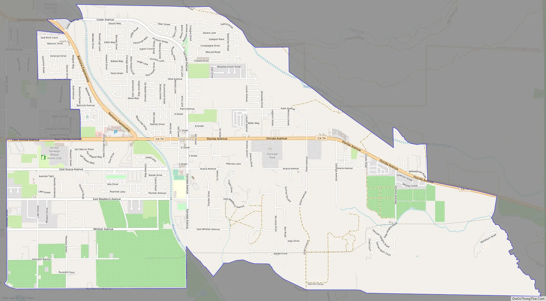
Valle Vista Road Map
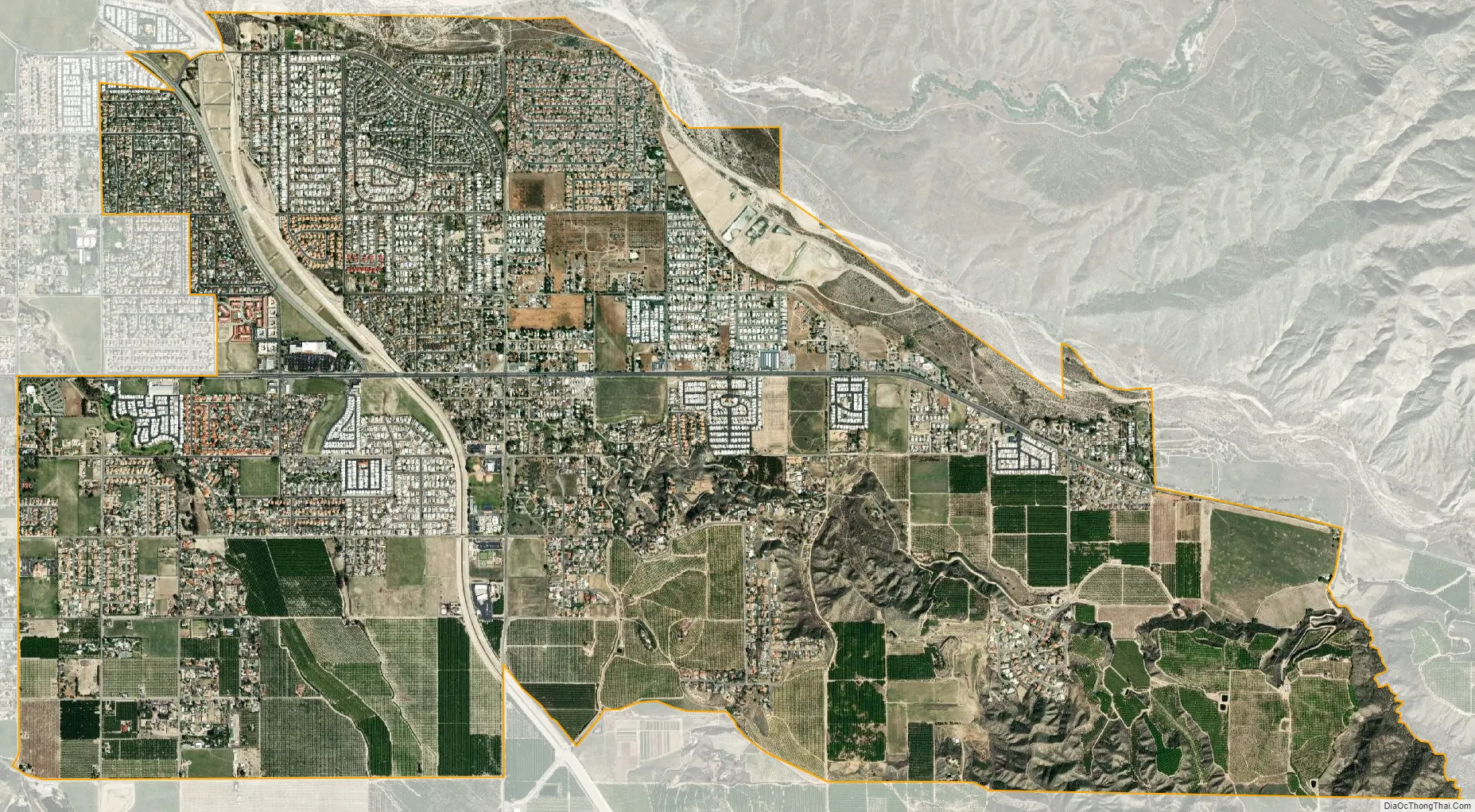
Valle Vista city Satellite Map
Geography
Valle Vista is located at 33°45′10″N 116°53′53″W / 33.75278°N 116.89806°W / 33.75278; -116.89806 (33.752820, -116.898159).
According to the United States Census Bureau, the CDP has a total area of 7.1 square miles (18 km), of which, 6.9 square miles (18 km) of it is land and 0.2 square miles (0.52 km) of it (2.94%) is water.
Surrounding communities
Climate
Valle Vista, generally has year-round pleasant weather, with hot summers and mild, wet winters. On average, the warmest month is August. The highest recorded temperature was 115 °F (46 °C) in 2004. On average, the coolest month is December. The lowest recorded temperature was 9 °F (−13 °C) in 1974. The maximum average precipitation occurs in February.
See also
Map of California State and its subdivision:- Alameda
- Alpine
- Amador
- Butte
- Calaveras
- Colusa
- Contra Costa
- Del Norte
- El Dorado
- Fresno
- Glenn
- Humboldt
- Imperial
- Inyo
- Kern
- Kings
- Lake
- Lassen
- Los Angeles
- Madera
- Marin
- Mariposa
- Mendocino
- Merced
- Modoc
- Mono
- Monterey
- Napa
- Nevada
- Orange
- Placer
- Plumas
- Riverside
- Sacramento
- San Benito
- San Bernardino
- San Diego
- San Francisco
- San Joaquin
- San Luis Obispo
- San Mateo
- Santa Barbara
- Santa Clara
- Santa Cruz
- Shasta
- Sierra
- Siskiyou
- Solano
- Sonoma
- Stanislaus
- Sutter
- Tehama
- Trinity
- Tulare
- Tuolumne
- Ventura
- Yolo
- Yuba
- Alabama
- Alaska
- Arizona
- Arkansas
- California
- Colorado
- Connecticut
- Delaware
- District of Columbia
- Florida
- Georgia
- Hawaii
- Idaho
- Illinois
- Indiana
- Iowa
- Kansas
- Kentucky
- Louisiana
- Maine
- Maryland
- Massachusetts
- Michigan
- Minnesota
- Mississippi
- Missouri
- Montana
- Nebraska
- Nevada
- New Hampshire
- New Jersey
- New Mexico
- New York
- North Carolina
- North Dakota
- Ohio
- Oklahoma
- Oregon
- Pennsylvania
- Rhode Island
- South Carolina
- South Dakota
- Tennessee
- Texas
- Utah
- Vermont
- Virginia
- Washington
- West Virginia
- Wisconsin
- Wyoming


