Vallecito (Spanish for “Little Valley”) is a census-designated place (CDP) in Calaveras County, California, United States. The population was 442 at the 2010 census, up from 427 at the 2000 census. The town is registered as California Historical Landmark #273. Nearby is Moaning Cavern, the largest cave chamber in California, which the Miwok Indians used as a burial ground.
| Name: | Vallecito CDP |
|---|---|
| LSAD Code: | 57 |
| LSAD Description: | CDP (suffix) |
| State: | California |
| County: | Calaveras County |
| Elevation: | 1,762 ft (537 m) |
| Total Area: | 8.566 sq mi (22.184 km²) |
| Land Area: | 8.561 sq mi (22.172 km²) |
| Water Area: | 0.005 sq mi (0.012 km²) 0.05% |
| Total Population: | 442 |
| Population Density: | 52/sq mi (20/km²) |
| ZIP code: | 95229, 95251 |
| Area code: | 209 |
| FIPS code: | 0681652 |
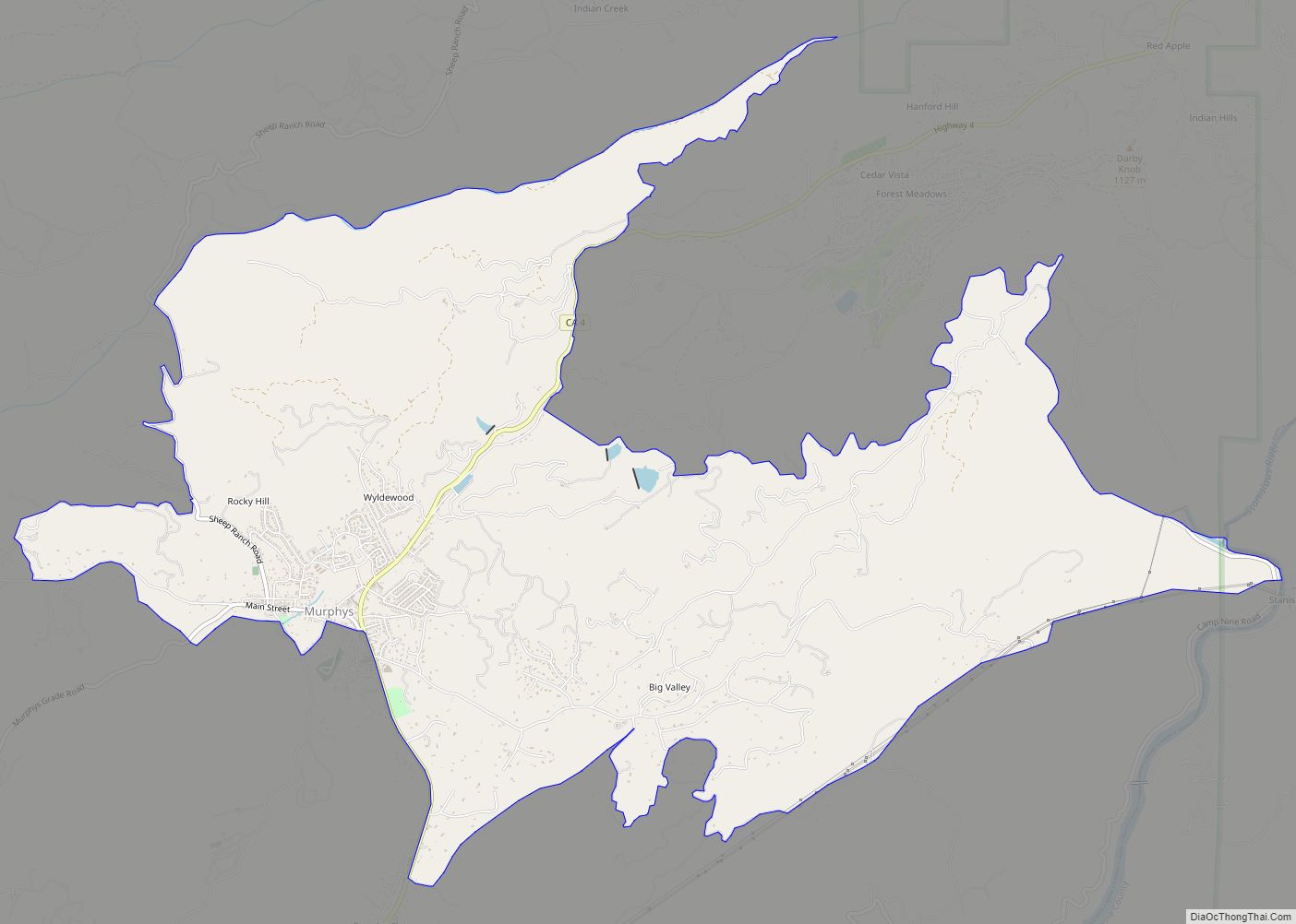
Online Interactive Map
Click on ![]() to view map in "full screen" mode.
to view map in "full screen" mode.
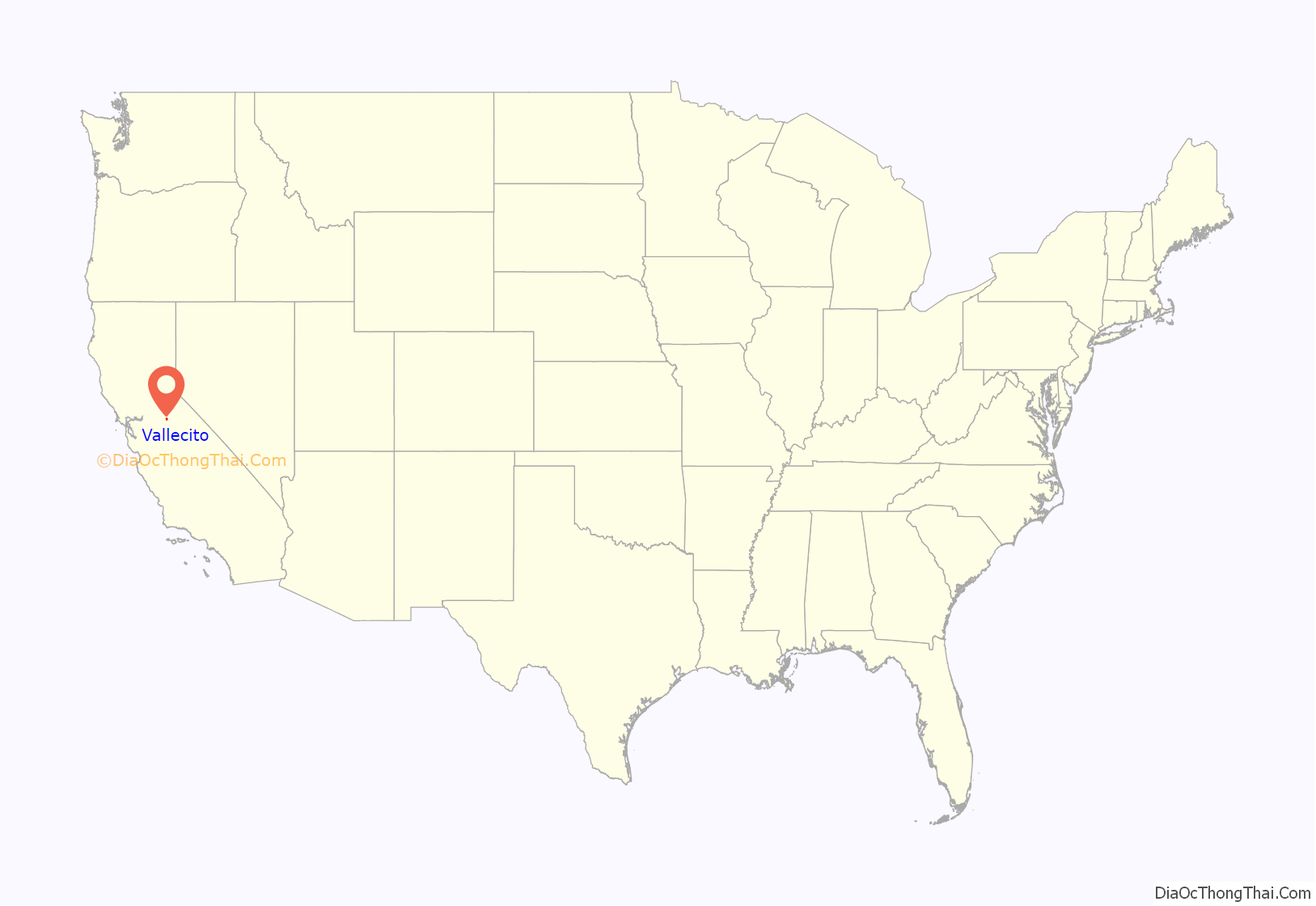
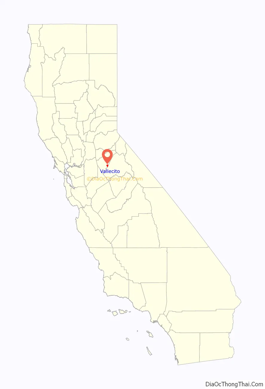
Vallecito location map. Where is Vallecito CDP?
History
Vallecito was one of California’s important early-day mining towns. Gold was discovered here by the Murphy brothers in 1849, and it was originally called “Murphys Diggings,” which became “Murphys Old Diggings” when they moved on to greener pastures at “Murphys New Diggings” (which became the town of Murphys). The town was revitalized in 1852 when extremely rich deposits of gold were discovered running practically through the center of town. A post office was established in 1854, which is still in use today.
The Vallecito Bell, cast at Troy, New York in 1853, was brought around Cape Horn. It was purchased from the ship with funds contributed by early-day residents and brought to Vallecito to be erected in a large oak tree in 1854. It was used to call the people together until February 16, 1939, when a severe wind blew the old tree down.
The first post office opened in 1854 as Vallicita; the town’s name was changed to Vallecito in 1940.
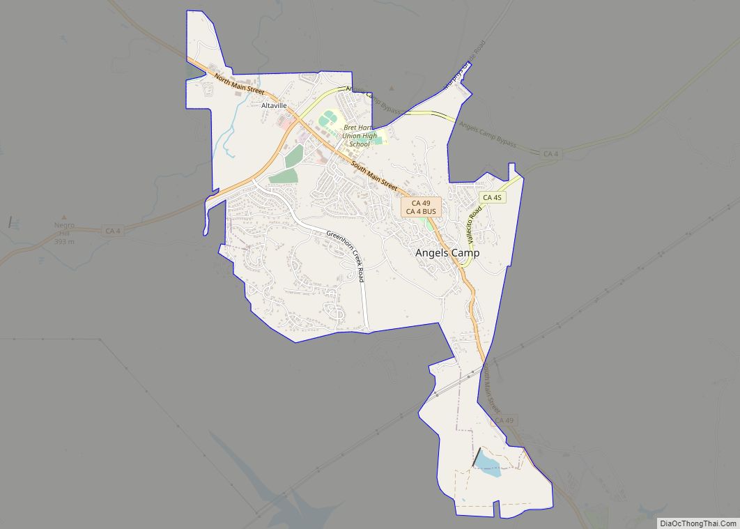
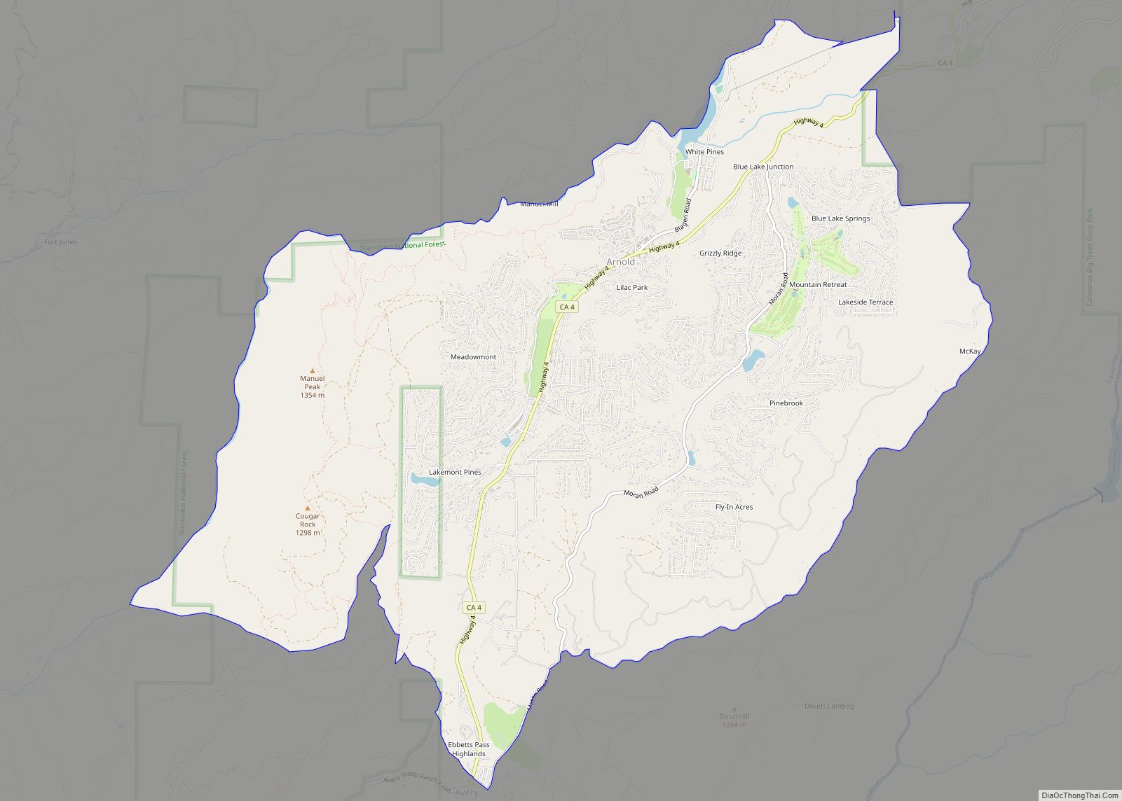
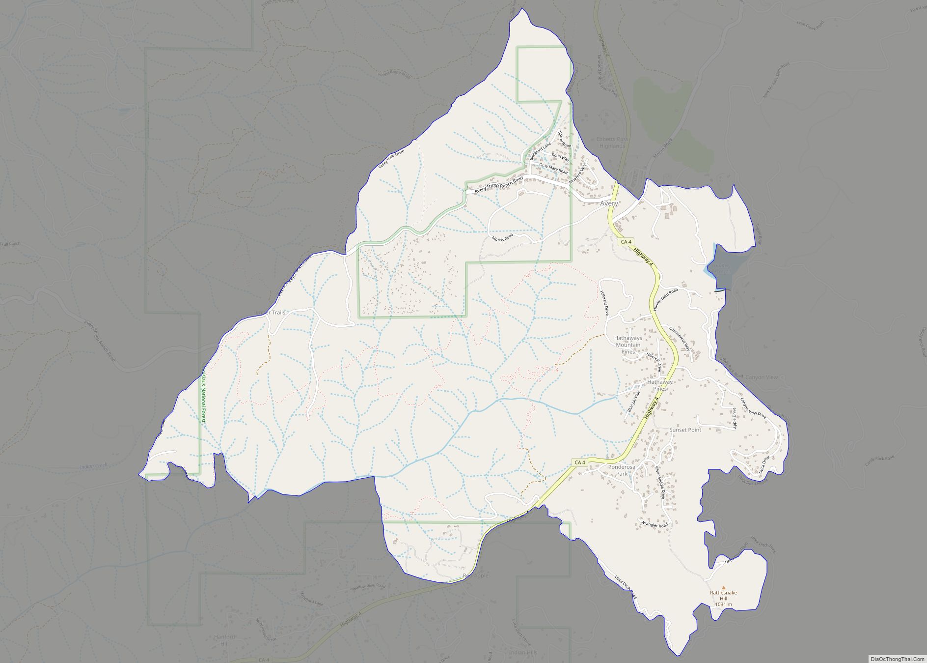
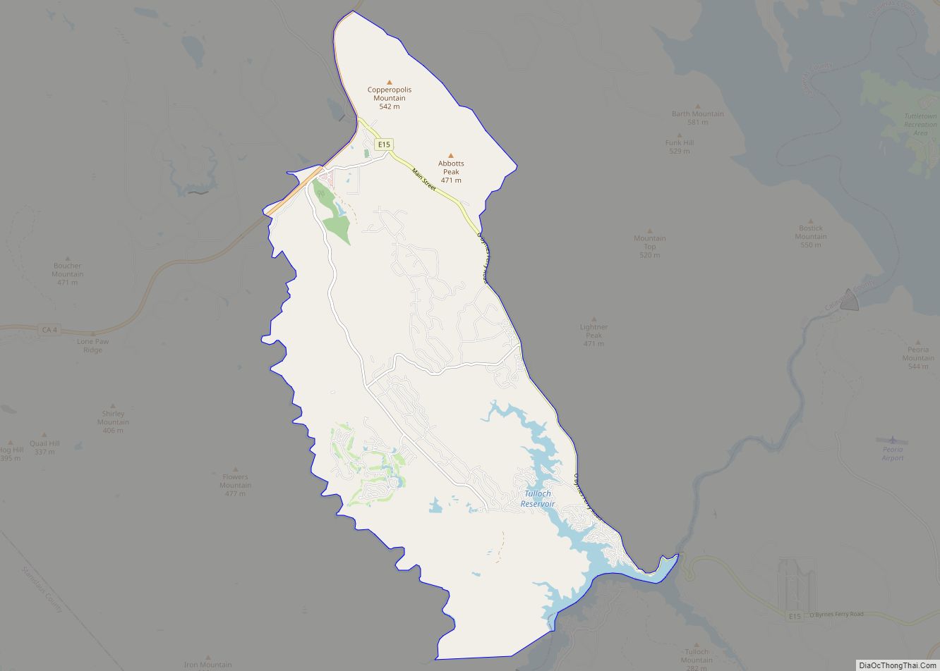
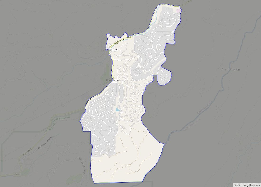
Vallecito Road Map
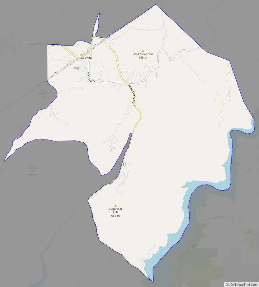
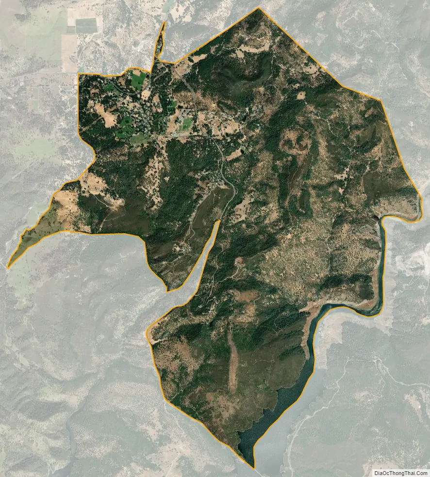
Vallecito city Satellite Map
Geography
According to the United States Census Bureau, the CDP has a total area of 8.6 square miles (22 km), 99.95% of it land.
See also
Map of California State and its subdivision:- Alameda
- Alpine
- Amador
- Butte
- Calaveras
- Colusa
- Contra Costa
- Del Norte
- El Dorado
- Fresno
- Glenn
- Humboldt
- Imperial
- Inyo
- Kern
- Kings
- Lake
- Lassen
- Los Angeles
- Madera
- Marin
- Mariposa
- Mendocino
- Merced
- Modoc
- Mono
- Monterey
- Napa
- Nevada
- Orange
- Placer
- Plumas
- Riverside
- Sacramento
- San Benito
- San Bernardino
- San Diego
- San Francisco
- San Joaquin
- San Luis Obispo
- San Mateo
- Santa Barbara
- Santa Clara
- Santa Cruz
- Shasta
- Sierra
- Siskiyou
- Solano
- Sonoma
- Stanislaus
- Sutter
- Tehama
- Trinity
- Tulare
- Tuolumne
- Ventura
- Yolo
- Yuba
- Alabama
- Alaska
- Arizona
- Arkansas
- California
- Colorado
- Connecticut
- Delaware
- District of Columbia
- Florida
- Georgia
- Hawaii
- Idaho
- Illinois
- Indiana
- Iowa
- Kansas
- Kentucky
- Louisiana
- Maine
- Maryland
- Massachusetts
- Michigan
- Minnesota
- Mississippi
- Missouri
- Montana
- Nebraska
- Nevada
- New Hampshire
- New Jersey
- New Mexico
- New York
- North Carolina
- North Dakota
- Ohio
- Oklahoma
- Oregon
- Pennsylvania
- Rhode Island
- South Carolina
- South Dakota
- Tennessee
- Texas
- Utah
- Vermont
- Virginia
- Washington
- West Virginia
- Wisconsin
- Wyoming