Valley Springs (formerly, Spring Valley and Valley Spring) is a census-designated place (CDP) in Calaveras County, California, United States, in the foothills of the Sierra Nevada Mountain Range. Valley Springs is registered as a California Historical Landmark, number 251.
| Name: | Valley Springs CDP |
|---|---|
| LSAD Code: | 57 |
| LSAD Description: | CDP (suffix) |
| State: | California |
| County: | Calaveras County |
| Elevation: | 669 ft (204 m) |
| Total Area: | 9.875 sq mi (25.579 km²) |
| Land Area: | 9.872 sq mi (25.570 km²) |
| Water Area: | 0.003 sq mi (0.009 km²) 0.04% |
| Total Population: | 3,553 |
| Population Density: | 360/sq mi (140/km²) |
| ZIP code: | 95226, 95252 |
| Area code: | 209 |
| FIPS code: | 0681890 |
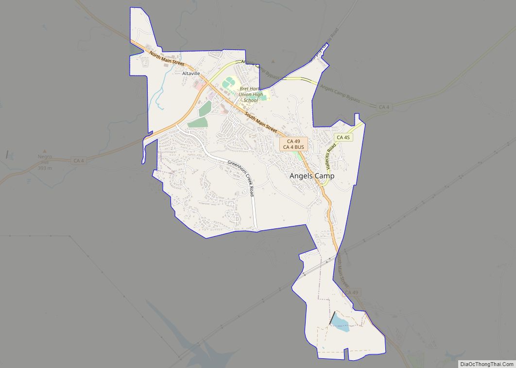
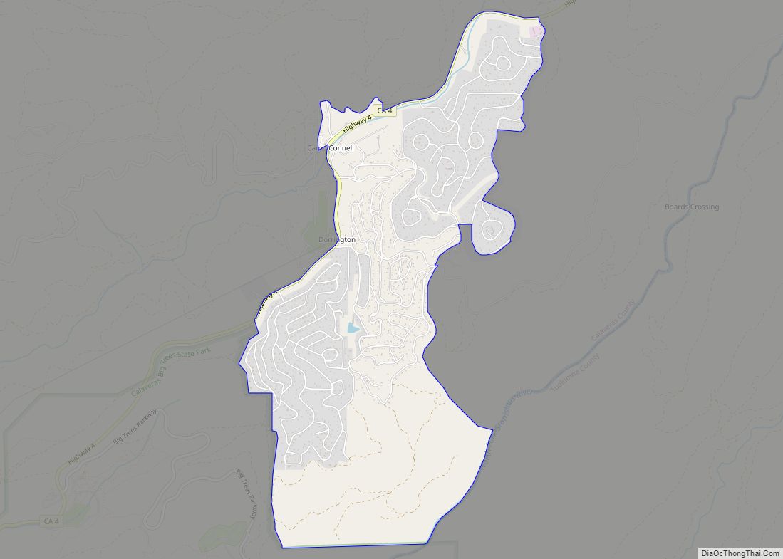
Online Interactive Map
Click on ![]() to view map in "full screen" mode.
to view map in "full screen" mode.
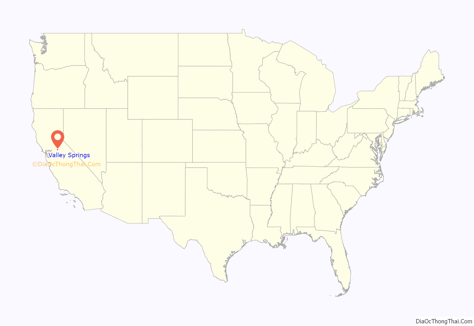
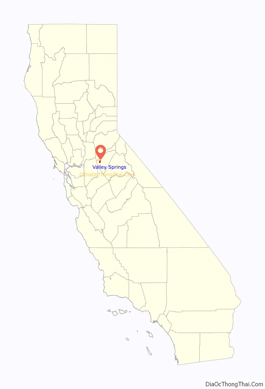
Valley Springs location map. Where is Valley Springs CDP?
History
Valley Springs was once known as Spring Valley. Because another post office was called Spring Valley in Colusa County, the name was changed to Valley Springs. The earliest settlers were Native American. The presence of grinding rocks found in Valley Springs suggests that the Mi-Wuk and the Yokuts tribes resided in Valley Springs. They gathered acorns for trade and food before returning to their home in the spring. The Mi-Wuk were later driven further into the hills due to gold miners.
The first saloon and store in the Valley Springs region opened in 1849. Thereafter, small farms and large ranches were established to provide food for settlers. Stage stops emerged along (now) Highway 26, lodging developed, and (now) Highway 12 linked roads to the surrounding areas.
A need for more affordable freight rates, expansion of tourism to Big Trees, and timber interests caused a need for a quicker mode of transport. Land sold quickly, and roads and buildings were built as settlers arrived. The railways expanded, and on April 25, 1885, the first train pulled into Valley Springs station, which was at first just a tent. Valley Springs became a center of freight distribution. Furthermore, residents could reach San Francisco in 7+1⁄2 hours, Stockton in 2+1⁄2 hours, Sacramento in 3 hours by train. A large fire burned down the majority of the central town in September 1895. Because of this fire, the lack of rail expansion to the nearby mountains, and the lofty expectations of the railroad, Valley Springs was hit hard.
Despite rebuilding the town, Valley Springs’ population increase was below 1% a year. Not even the installation of electricity in 1899 and the SP rail’s move to a standard-gauge line encouraged local growth. From 1910 to 1930, the population drastically decreased. In 1923, Valley Springs only had 350 residents, but 1925 had a big change with the Calaveras Cement Company’s need for product transportation. The rail extended, which helped develop the Pardee Dam, as well as help in the shipment of cement directly to customers such as the Bay Area. The McClellan and Travis Air Force base, San Francisco Airport, the Central Valley dams, and the San Francisco-Oakland Bay Bridge were built due to Valley Springs and the local cement it transported.
Calaveras Cement and the construction of both the Hogan Dam and Pardee Dam increased employment. Local lumber, forest products, cement, and clay resources increased shipping needs. Agriculture still remained the main occupation of residents, whose primary agricultural focus was on grains, livestock, and small-scale wine grapes and olives. Nevertheless, Valley Spring’s strategic location was key to its importance.
The 1930s and 1940s had a 6% annual population increase. Population then flattened out in the 1950s to increase again in the 1960s, largely due to the development of the Camanche Reservoir and the expansion of the Hogan Reservoir. The 1970s had population increases resulting from Rancho Calaveras, the La Contenta Golf Course, and the development of its surrounding HOA-governed homes. The doors of major manufacturing closed in the 1980s, yet Valley Springs continues to expand in population and development. For decades, it assisted in the development of major cities in the valley and the bay.
In 1885, the San Joaquin and Sierra Nevada Railroad completed a narrow-gauge railroad from Brack’s Landing to Valley Springs, with an old train station known as “Kokines station”. The line eventually became the property of Southern Pacific Railroad, and a standard-gauge line into Valley Springs was substituted. A post office was opened there in 1872, closed in 1879, and re-established in 1882.
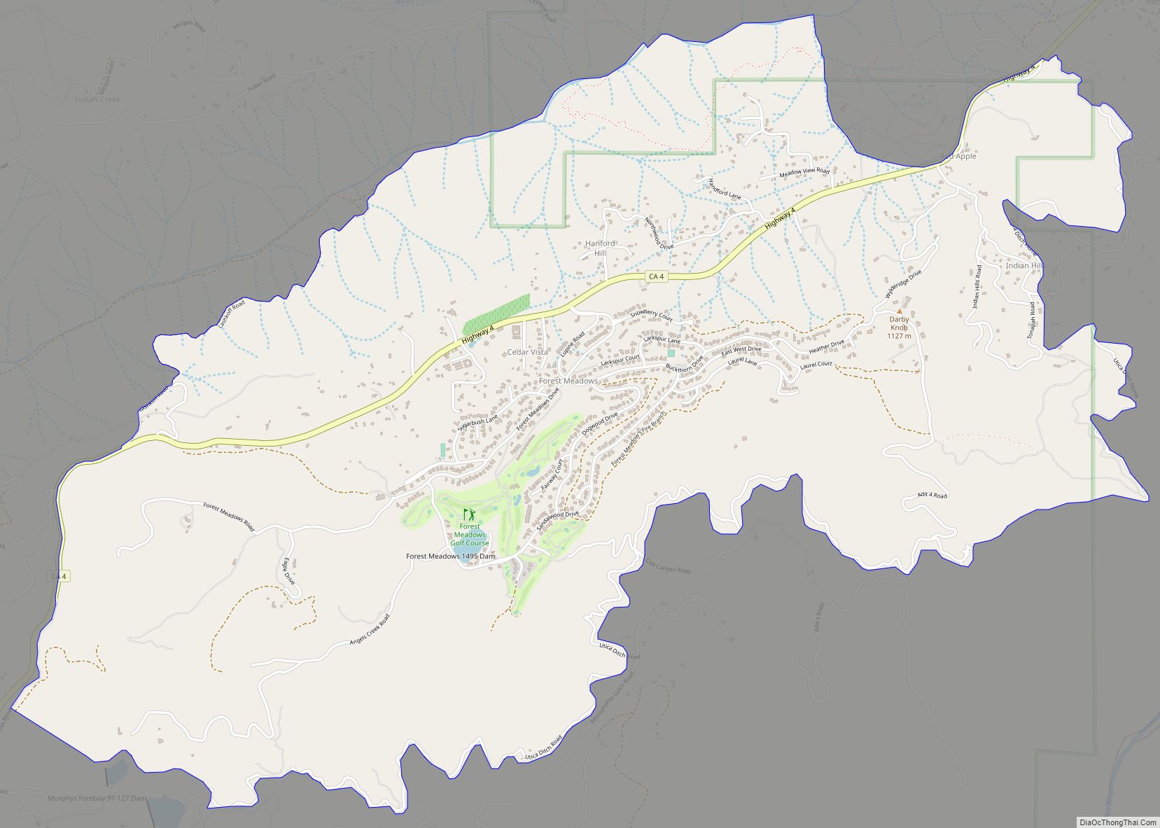
Valley Springs Road Map
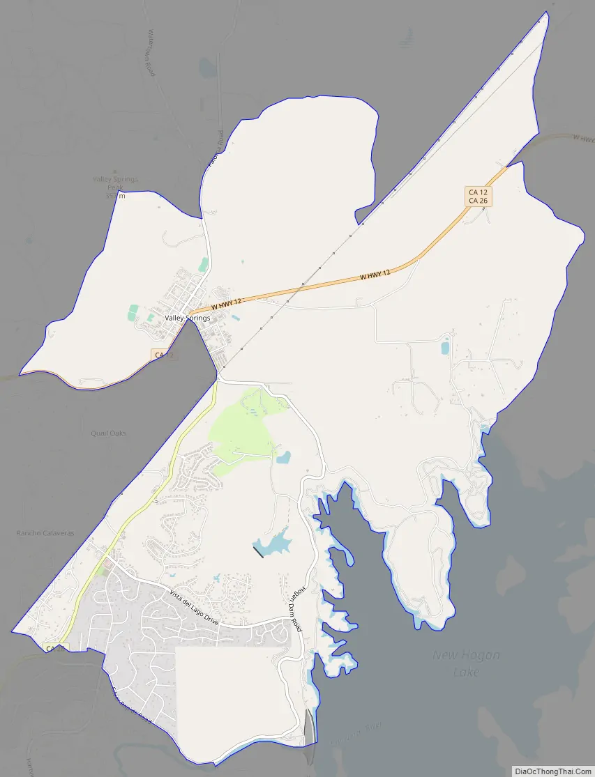
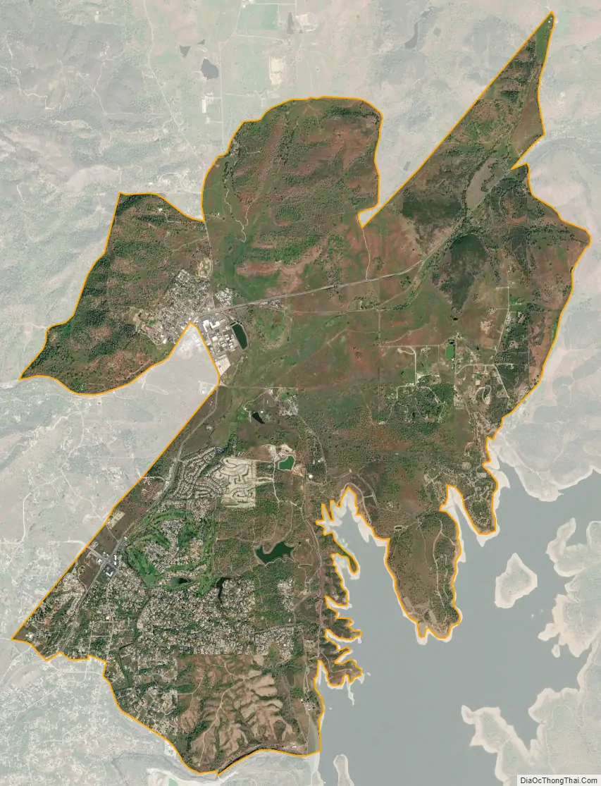
Valley Springs city Satellite Map
Geography
According to the United States Census Bureau, the CDP has a total area of 9.9 square miles (26 km), 99.96% of it land.
See also
Map of California State and its subdivision:- Alameda
- Alpine
- Amador
- Butte
- Calaveras
- Colusa
- Contra Costa
- Del Norte
- El Dorado
- Fresno
- Glenn
- Humboldt
- Imperial
- Inyo
- Kern
- Kings
- Lake
- Lassen
- Los Angeles
- Madera
- Marin
- Mariposa
- Mendocino
- Merced
- Modoc
- Mono
- Monterey
- Napa
- Nevada
- Orange
- Placer
- Plumas
- Riverside
- Sacramento
- San Benito
- San Bernardino
- San Diego
- San Francisco
- San Joaquin
- San Luis Obispo
- San Mateo
- Santa Barbara
- Santa Clara
- Santa Cruz
- Shasta
- Sierra
- Siskiyou
- Solano
- Sonoma
- Stanislaus
- Sutter
- Tehama
- Trinity
- Tulare
- Tuolumne
- Ventura
- Yolo
- Yuba
- Alabama
- Alaska
- Arizona
- Arkansas
- California
- Colorado
- Connecticut
- Delaware
- District of Columbia
- Florida
- Georgia
- Hawaii
- Idaho
- Illinois
- Indiana
- Iowa
- Kansas
- Kentucky
- Louisiana
- Maine
- Maryland
- Massachusetts
- Michigan
- Minnesota
- Mississippi
- Missouri
- Montana
- Nebraska
- Nevada
- New Hampshire
- New Jersey
- New Mexico
- New York
- North Carolina
- North Dakota
- Ohio
- Oklahoma
- Oregon
- Pennsylvania
- Rhode Island
- South Carolina
- South Dakota
- Tennessee
- Texas
- Utah
- Vermont
- Virginia
- Washington
- West Virginia
- Wisconsin
- Wyoming