Vista (/ˈvɪstə/; Spanish for “view”) is a city in San Diego County, California. Vista is a medium-sized city within the San Diego-Carlsbad, CA Metropolitan Area and has a population of 101,638. Vista’s sphere of influence also includes portions of unincorporated San Diego County to the north and east, with a county island in the central west. Located just 7 mi (11 km) inland from the Pacific Ocean, it has a Mediterranean climate.
A flag is displayed at the Vista Civic Center. The flag design is the seal of Vista on a blue background.
Originally the lands of Rancho Buena Vista and Rancho Guajome, Vista was founded on October 9, 1882, with the establishment of a post office. It was incorporated on January 28, 1963, and became a charter city on June 13, 2007.
Vista has more than 25 educational institutions for youth, and a business park home to over 800 companies. In a 2015 review, Vista was ranked as the 173rd-best place in California (out of 240) for families, based on factors such as family life, recreational opportunities, education, health, safety, and affordability.
| Name: | Vista city |
|---|---|
| LSAD Code: | 25 |
| LSAD Description: | city (suffix) |
| State: | California |
| County: | San Diego County |
| Incorporated: | January 28, 1963 |
| Elevation: | 325 ft (99 m) |
| Total Area: | 18.75 sq mi (48.56 km²) |
| Land Area: | 18.75 sq mi (48.56 km²) |
| Water Area: | 0.00 sq mi (0.00 km²) 0% |
| Total Population: | 98,381 |
| Population Density: | 5,200/sq mi (2,000/km²) |
| ZIP code: | 92081, 92083–92085 |
| FIPS code: | 0682996 |
| Website: | www.cityofvista.com |
Online Interactive Map
Click on ![]() to view map in "full screen" mode.
to view map in "full screen" mode.
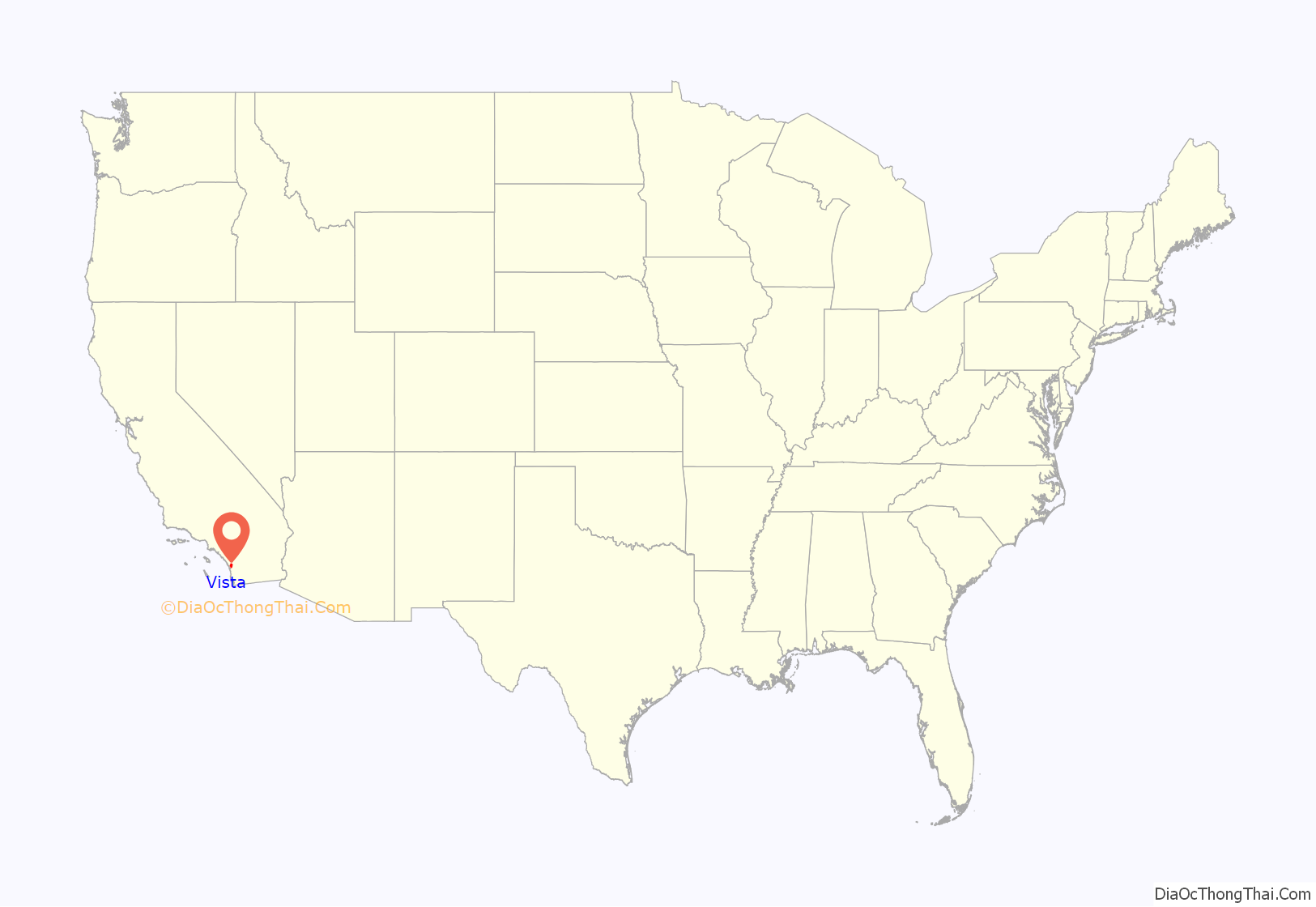
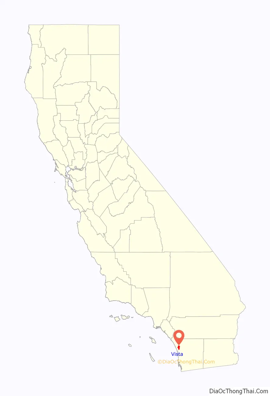
Vista location map. Where is Vista city?
History
The Vista area was originally inhabited by the Luiseño Indians, who established a village in today’s Vista called Tovalum.
The prosperity of the mission-era declined by the 1830s with the independence of Mexico from Spain. The Mexican government began to grant land ownerships to a variety of people, thus beginning the Rancho era of California. Three ranchos were granted in the Vista area: Rancho Guajome, Rancho Buena Vista, and Agua Hedionda Y los Manos.
In the 1850s the ranchos began to fade due to changing political conditions and the scarcity of water. A growing number of settlers came to the area after California became a state in 1850 and began to create smaller agricultural holdings. One settler in the Vista area, John A. Frazier, applied to open the first post office and after several attempts to name the city (Frazier and Buena Vista were already taken), Frazier finally chose the name “Vista”. With the opening of the first post office in 1882, Vista had officially arrived.
In 1870, Bernard Delpy arrived from France to build what eventually became known as “Delpy Corners” at the intersection of today’s East Vista Way and Foothill Drive. His nephew, Jules Jacques Delpy, joined him in 1879 and together they planted several hundred acres of grapes. In 1886, they built the first successful winery in the country. The winery was shut down by the Prohibition era.
Inhibited by the lack of water, Vista grew slowly through the early 1910s to less than 1,000 people. With the vote of the people in 1923, the Vista Irrigation District had the necessary funding to construct a new water supply from Lake Henshaw. New buildings in downtown sprang up almost immediately. Agriculture began to flourish with crops such as tomatoes, celery, and citrus fruits. Some hillsides were also planted for avocados and by 1948, Vista became the “avocado capital of the world”
Following World War II, agriculture declined with an influx of population and housing. The City of Vista was incorporated on January 23, 1963. The frequent housing booms of the 1970s through early 2000s greatly increased the population of Vista. Numerous apartment complexes were also built in these booms. Many light manufacturing businesses moved into the Business Park area on the south side, starting in the 1980s. In the 1990s, Wal-Mart, Target and Costco opened large stores. In 1993, Vista became involved in a national controversy when the Vista Unified School District board unsuccessfully tried to incorporate creationist, anti-evolution views into the biology curriculum.
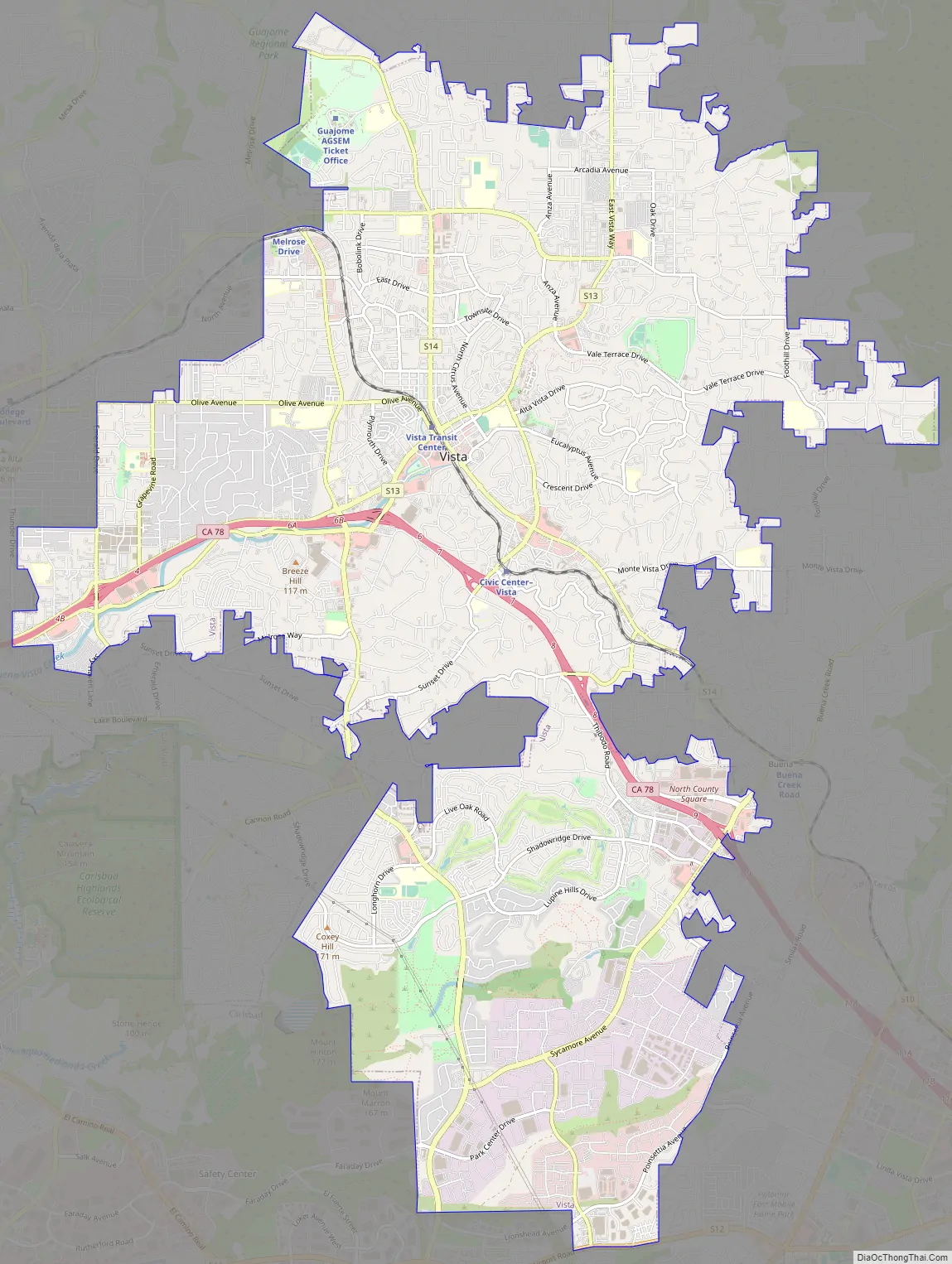
Vista Road Map
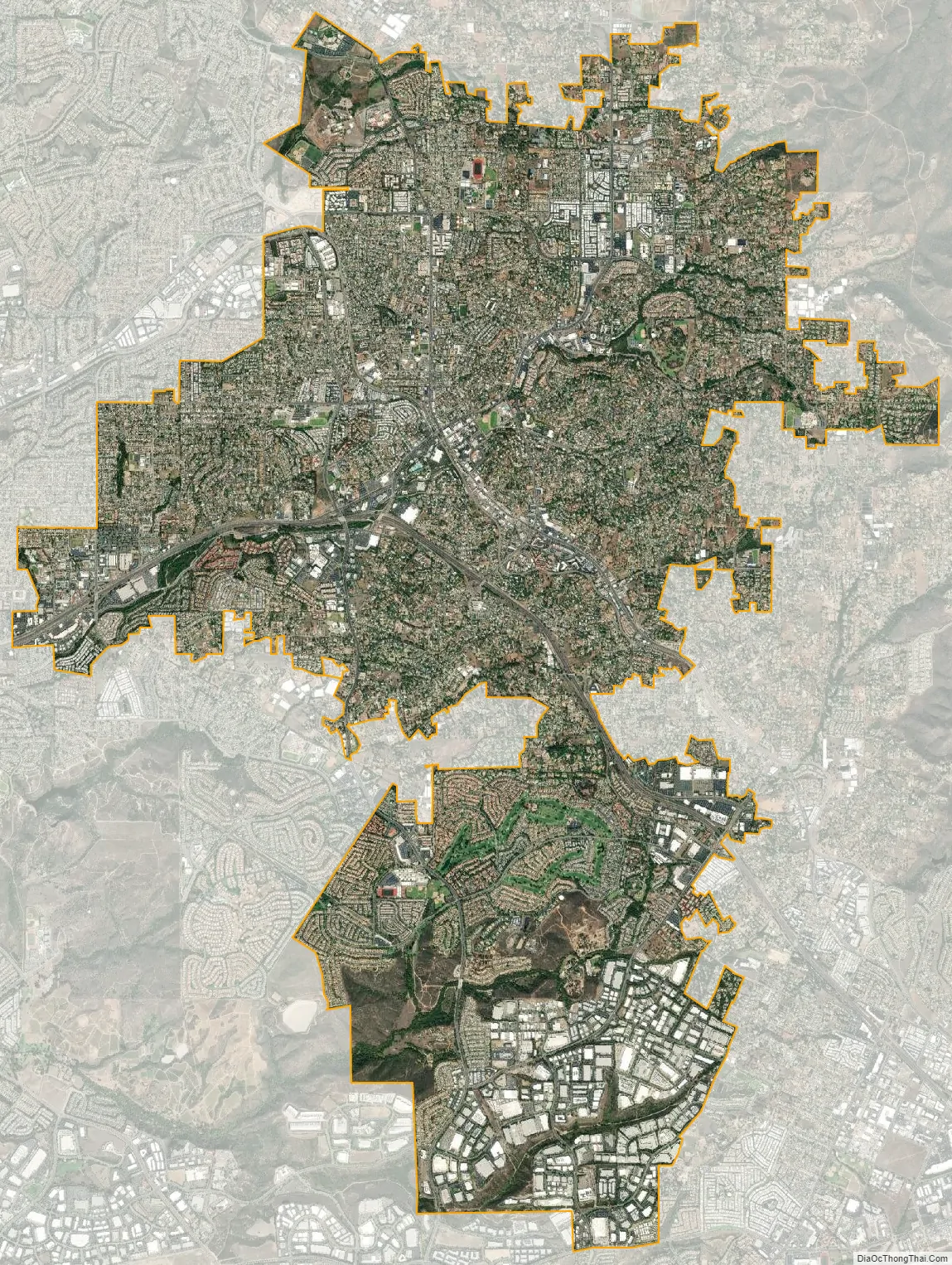
Vista city Satellite Map
Geography
According to the United States Census Bureau, the city has a total area of 18.7 square miles (48 km) of land. Vista is a hilly city. Most of the businesses are located in the flatter areas, and residences climb the hills. In undeveloped areas, the natural vegetation types includes chaparral brushland, oak-sycamore woodland, riparian (stream) woodland and oak-grass savanna. The natural vegetation is best seen in Buena Vista Park on the south side, in the San Marcos Hills, east of the city, and in undeveloped pockets on the north side (e.g. along Gopher Canyon Road and Guajome Regional Park).
Climate
Vista has a semi-arid climate (Köppen: Bsk) bordering on a Mediterranean climate (Csa). The climate is temperate, with extremes of temperature uncommon. Coastal breezes and foggy overcast (especially in May and June) keep the late spring/early summer high temperatures below 80 °F (27 °C). on most days. In general, the western side of the city (closer to the Pacific) is cooler and more overcast with ocean fog than the eastern side. It is common in May–June for the western side of Vista to be overcast and cool, while the eastern side basks in clear skies and sunshine. July, August and September are usually warmer, as the coastal breezes lessen. High temperatures in excess of 90 °F (32 °C), rarely above 100 °F (38 °C) sometimes occur in late summer. High temperatures also accompany dry Santa Ana wind events, which can strike any month, but are most common during fall. On 90% of days, though, the moderating influence of the nearby Pacific keeps the weather pleasant and temperatures moderate. Frost is quite rare in winter, and snowfall almost unknown. Most of the annual rainfall of 13.24 inches (336 mm) falls between November and April (Mediterranean climate type). Rainfall is higher in the San Marcos Hills on the eastern edge of the city, up to 20 inches (510 mm) per year. The moderate climate has made Vista and surrounding areas a center of the plant nursery industry. Avocados and other subtropical plants thrive in the area.
See also
Map of California State and its subdivision:- Alameda
- Alpine
- Amador
- Butte
- Calaveras
- Colusa
- Contra Costa
- Del Norte
- El Dorado
- Fresno
- Glenn
- Humboldt
- Imperial
- Inyo
- Kern
- Kings
- Lake
- Lassen
- Los Angeles
- Madera
- Marin
- Mariposa
- Mendocino
- Merced
- Modoc
- Mono
- Monterey
- Napa
- Nevada
- Orange
- Placer
- Plumas
- Riverside
- Sacramento
- San Benito
- San Bernardino
- San Diego
- San Francisco
- San Joaquin
- San Luis Obispo
- San Mateo
- Santa Barbara
- Santa Clara
- Santa Cruz
- Shasta
- Sierra
- Siskiyou
- Solano
- Sonoma
- Stanislaus
- Sutter
- Tehama
- Trinity
- Tulare
- Tuolumne
- Ventura
- Yolo
- Yuba
- Alabama
- Alaska
- Arizona
- Arkansas
- California
- Colorado
- Connecticut
- Delaware
- District of Columbia
- Florida
- Georgia
- Hawaii
- Idaho
- Illinois
- Indiana
- Iowa
- Kansas
- Kentucky
- Louisiana
- Maine
- Maryland
- Massachusetts
- Michigan
- Minnesota
- Mississippi
- Missouri
- Montana
- Nebraska
- Nevada
- New Hampshire
- New Jersey
- New Mexico
- New York
- North Carolina
- North Dakota
- Ohio
- Oklahoma
- Oregon
- Pennsylvania
- Rhode Island
- South Carolina
- South Dakota
- Tennessee
- Texas
- Utah
- Vermont
- Virginia
- Washington
- West Virginia
- Wisconsin
- Wyoming


