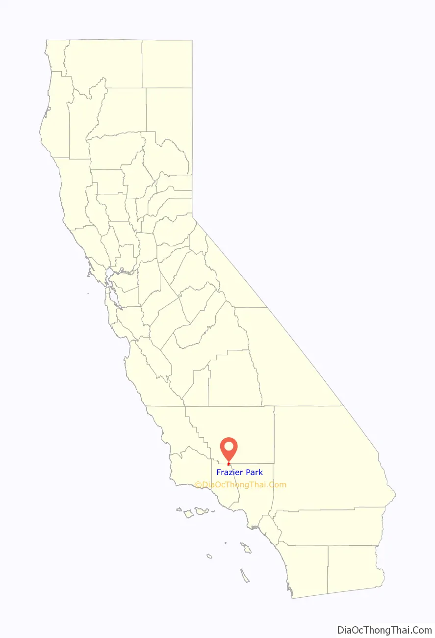
Frazier Park is an unincorporated community and census-designated place in Kern County, California. It is 5 miles (8 km) west of Lebec, at an elevation of 4,639 feet (1,414 m). It is one of the Mountain Communities of the Tejon Pass. The population was 2,592 in the 2020 census, down from 2,691 in 2010.
| Name: | Frazier Park CDP |
|---|---|
| LSAD Code: | 57 |
| LSAD Description: | CDP (suffix) |
| State: | California |
| County: | Kern County |
| Elevation: | 4,639 ft (1,414 m) |
| Total Area: | 5.066 sq mi (13.120 km²) |
| Land Area: | 5.064 sq mi (13.116 km²) |
| Water Area: | 0.002 sq mi (0.005 km²) 0.039% |
| Total Population: | 2,592 |
| Population Density: | 510/sq mi (200/km²) |
| ZIP code: | 93222, 93225 |
| Area code: | 661 |
| FIPS code: | 0625534 |
| GNISfeature ID: | 1656523 |
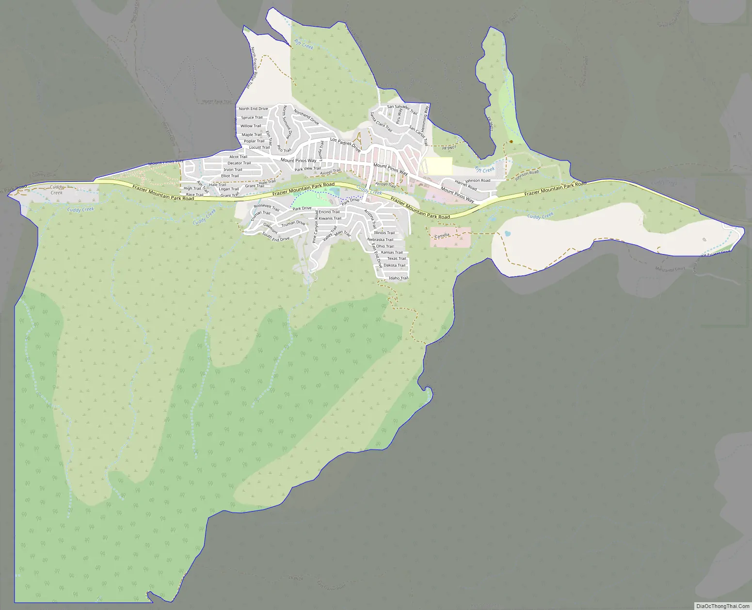
Online Interactive Map
Click on ![]() to view map in "full screen" mode.
to view map in "full screen" mode.
Frazier Park location map. Where is Frazier Park CDP?

History
The earliest record relating to Frazier Park was a report in 1854 that lumber was being produced there from Frazier Mountain trees for use at the new Army post at nearby Fort Tejon. Local historian Bonnie Ketterl Kane wrote that the mill was “supposedly” at the southeast end of the present community. She cited another report that a Kitanemuk Indian referred to the site as Campo del Soldado (Soldier’s Camp), “which was where the soldiers stayed when they cut timber from a mountain they called Pinery Mountain, today’s Frazier Mountain.”
The community was established in 1925 by Harry McBain, who named it in 1926 for Frazier Mountain, on its southern flank. Its post office was established on September 14, 1927, with Charles B. Fife as the first postmaster.
Frazier Park was used in filming for The Waltons television show.
Frazier Park is the setting of the 2011 film The FP and 1974’s The Black Six.
Frazier Park Road Map
Frazier Park city Satellite Map

Geography
Frazier Park lies within Cuddy Canyon in the San Emigdio Mountains, within the Los Padres National Forest. Mount Pinos is the highest peak in the area at 8,831 ft (2,692 m).
Other nearby communities include Lake of the Woods (3.6 miles (5.8 km)), Lebec (4.6 miles (7.4 km)), Pine Mountain Club (14.5 miles (23.3 km)), and Mettler (16.7 miles (26.9 km)). Santa Clarita is the nearest large city to the south on Interstate 5 (I-5), and Bakersfield is the largest city to the north of Interstate 5 (I-5).
The San Andreas fault transects the region, turning southeast on the west side of Interstate 5, just southwest of the Frazier Park exit in what is known as the Big Bend of the San Andreas. The Garlock Fault, California’s second largest, intersects the San Andreas just east of town and heads northeast along the Tehachapi Mountains.
The nearest highway is Interstate 5, east of the community. The main road through Frazier Park is Frazier Mountain Park Road, which runs east to Lebec and I-5 and west to Lake of the Woods.
Climate
This region experiences warm (but not hot) and dry summers, with no average monthly temperatures above 71.6 °F (22.0 °C). According to the Köppen Climate Classification system, Frazier Park has a warm-summer Mediterranean climate, abbreviated “Csb” on climate maps.
See also
Map of California State and its subdivision:- Alameda
- Alpine
- Amador
- Butte
- Calaveras
- Colusa
- Contra Costa
- Del Norte
- El Dorado
- Fresno
- Glenn
- Humboldt
- Imperial
- Inyo
- Kern
- Kings
- Lake
- Lassen
- Los Angeles
- Madera
- Marin
- Mariposa
- Mendocino
- Merced
- Modoc
- Mono
- Monterey
- Napa
- Nevada
- Orange
- Placer
- Plumas
- Riverside
- Sacramento
- San Benito
- San Bernardino
- San Diego
- San Francisco
- San Joaquin
- San Luis Obispo
- San Mateo
- Santa Barbara
- Santa Clara
- Santa Cruz
- Shasta
- Sierra
- Siskiyou
- Solano
- Sonoma
- Stanislaus
- Sutter
- Tehama
- Trinity
- Tulare
- Tuolumne
- Ventura
- Yolo
- Yuba
- Alabama
- Alaska
- Arizona
- Arkansas
- California
- Colorado
- Connecticut
- Delaware
- District of Columbia
- Florida
- Georgia
- Hawaii
- Idaho
- Illinois
- Indiana
- Iowa
- Kansas
- Kentucky
- Louisiana
- Maine
- Maryland
- Massachusetts
- Michigan
- Minnesota
- Mississippi
- Missouri
- Montana
- Nebraska
- Nevada
- New Hampshire
- New Jersey
- New Mexico
- New York
- North Carolina
- North Dakota
- Ohio
- Oklahoma
- Oregon
- Pennsylvania
- Rhode Island
- South Carolina
- South Dakota
- Tennessee
- Texas
- Utah
- Vermont
- Virginia
- Washington
- West Virginia
- Wisconsin
- Wyoming


