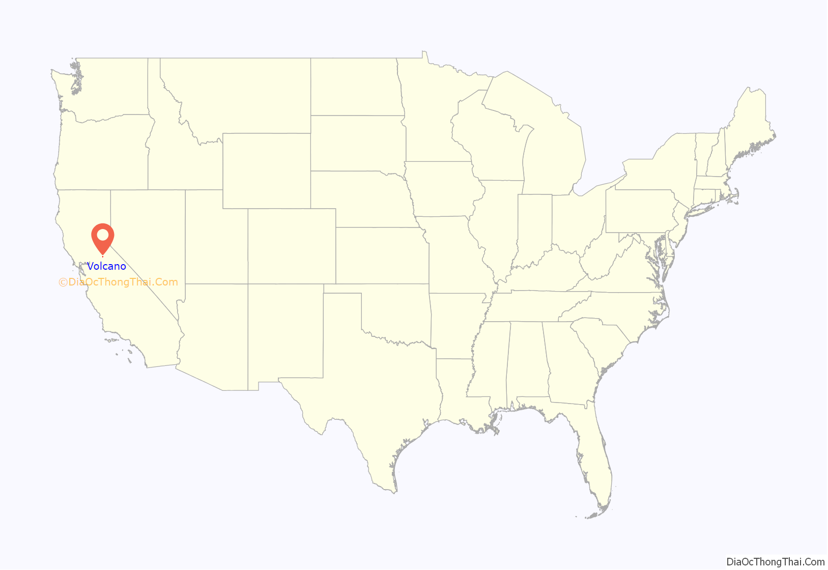
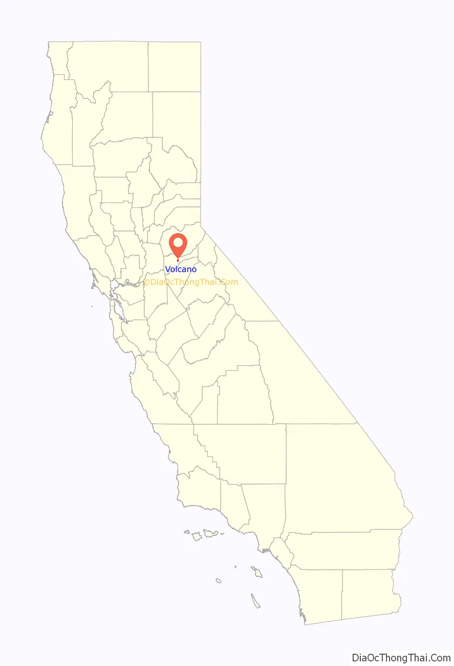
Volcano (formerly Soldier’s Gulch and The Volcano) is a census-designated place in Amador County, California. It lies at an elevation of 2070 feet (631 m). The population was 115 at the 2010 census. It is located at 38°26′35″N 120°37′51″W / 38.44306°N 120.63083°W / 38.44306; -120.63083, just north of Pine Grove. The town is registered as a California Historical Landmark. The community is in ZIP code 95689 and area code 209.
| Name: | Volcano CDP |
|---|---|
| LSAD Code: | 57 |
| LSAD Description: | CDP (suffix) |
| State: | California |
| County: | Amador County |
| Elevation: | 2,070 ft (631 m) |
| Total Area: | 1.501 sq mi (3.887 km²) |
| Land Area: | 1.501 sq mi (3.887 km²) |
| Water Area: | 0 sq mi (0 km²) 0% |
| Total Population: | 115 |
| Population Density: | 77/sq mi (30/km²) |
| ZIP code: | 95689 |
| Area code: | 209 |
| FIPS code: | 0683094 |
| GNISfeature ID: | 237127, 2583178 |
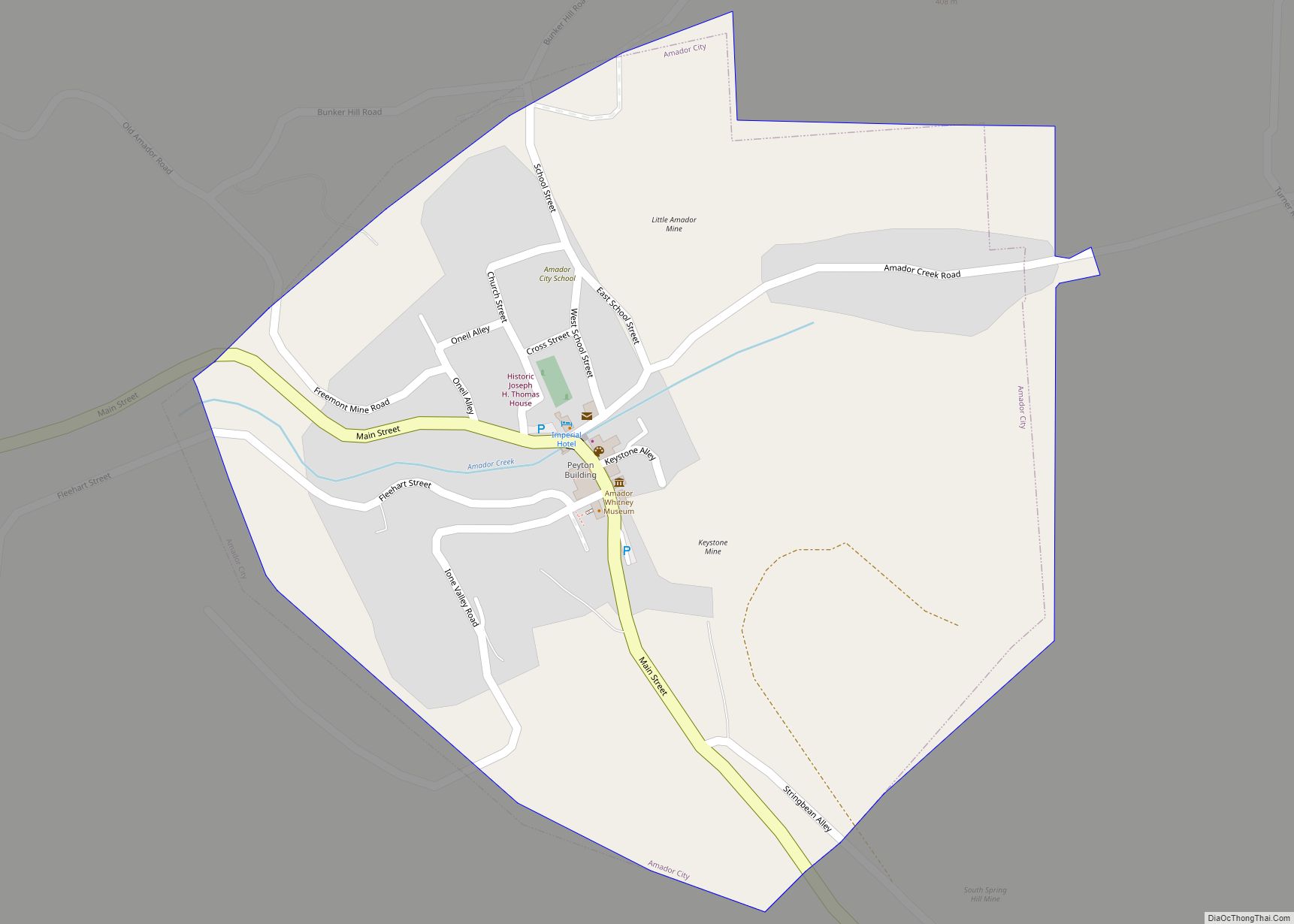
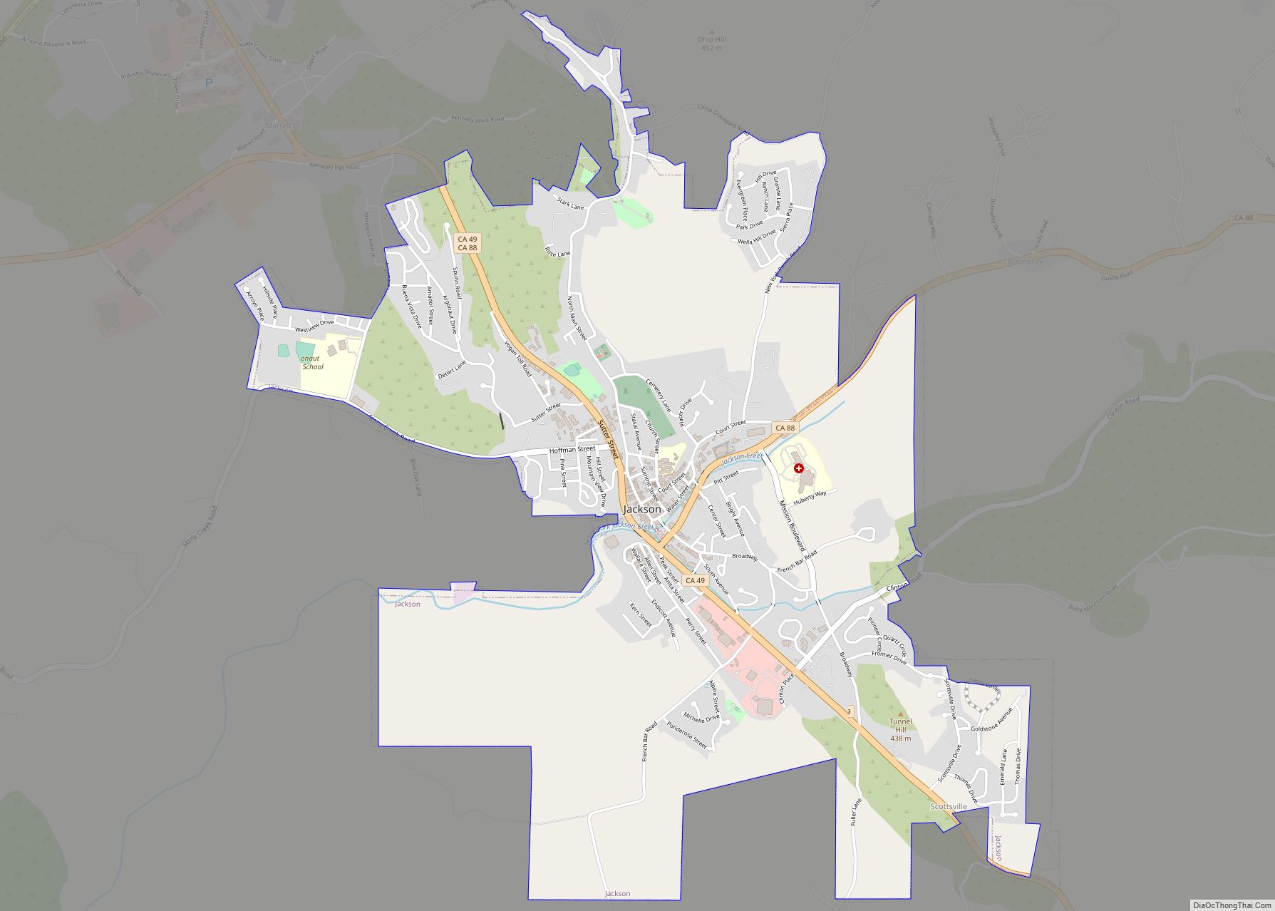
Online Interactive Map
Click on ![]() to view map in "full screen" mode.
to view map in "full screen" mode.
Volcano location map. Where is Volcano CDP?
History
The town is named for its setting in a bowl-shaped valley which early gold miners thought was caused by a volcano. Early morning fog rising from the valley floor only reinforced that belief. The area was first designated by Colonel Stevenson’s men, who mined Soldiers Gulch in 1849. In 1851 a post office was established and by April 1852 there were 300 houses. By 1853 the flats and gulches swarmed with men, and there were 11 stores, six hotels, three bakeries, and three saloons. Hydraulic mining operations, begun in 1855, brought thousands of fortune seekers to form a town of 17 hotels, a library, a theater, and courts of quick justice.
During the Civil War, Volcano’s gold served the Union. The “Volcano Blues” smuggled the 800 lb cannon “Old Abe,” into the town by hearse, to intimidate rebel sympathizers. The cannon was cast by Cyrus Alger & Co. in Boston in 1837 and is the first of two 6-pounders made on the same day to be stamped with serial number 4. The other cannon still survives at Shiloh Battlefield and is called “Shiloh Sam”. “Old Abe” was only fired once during the Civil War. The Confederate faction known as Knights of the Golden Circle owned many of the Main Street businesses. “Old Abe” was fired down Main Street causing windows to break in all the shops that had not been warned – the ones sympathetic to the South. Abe is the only cannon of that age in the U.S. still on a nineteenth century wooden carriage.
The landmark St. George Hotel is listed on the National Register of Historic Places.
Volcano almost became the county seat in 1854 and again in 1857, but the newspaper closed in 1857 and afterwards, the town began to decline.
Although small, Volcano is a town of many “firsts”:
- 1854 First theater group in California
- 1854 First debating society in California
- 1854 First circulating library in California
- 1855 First private schools in California
- 1855 First private law school in California
- 1856 First legal hanging in Amador County
- 1860 First astronomical observatory in California
- 1978 First solar still in California
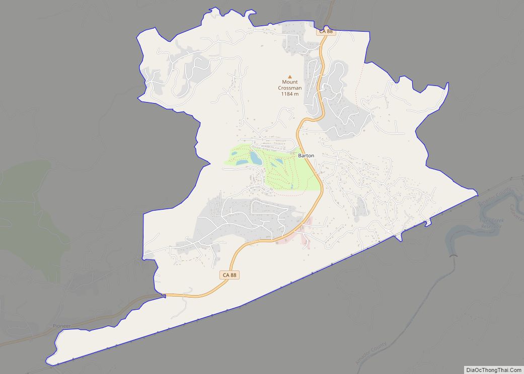
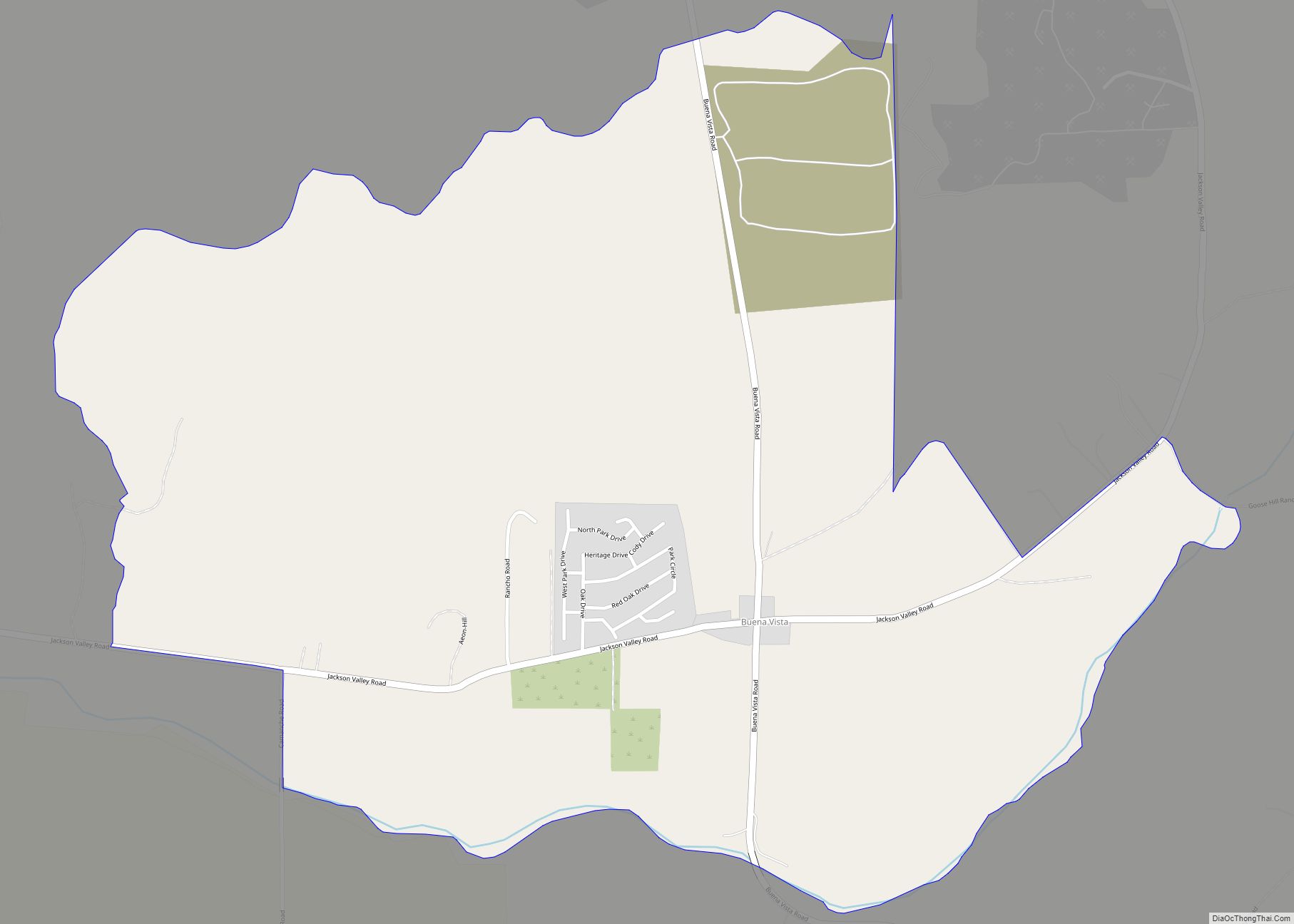
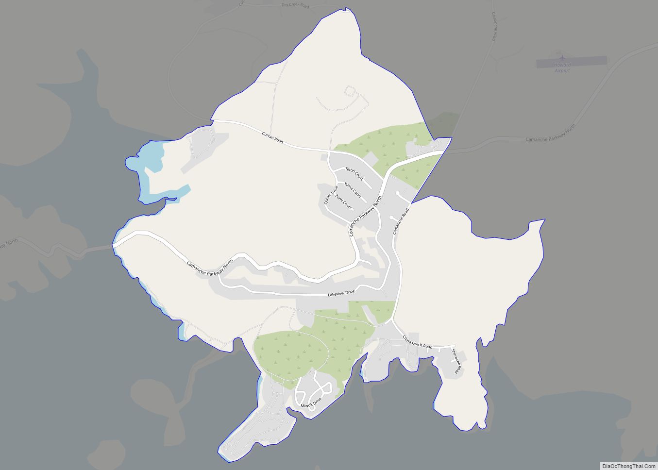
Volcano Road Map
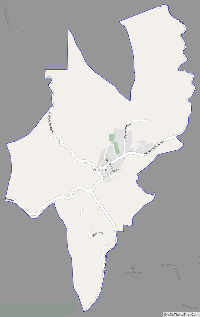
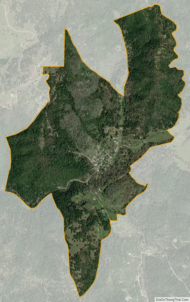
Volcano city Satellite Map
See also
Map of California State and its subdivision:- Alameda
- Alpine
- Amador
- Butte
- Calaveras
- Colusa
- Contra Costa
- Del Norte
- El Dorado
- Fresno
- Glenn
- Humboldt
- Imperial
- Inyo
- Kern
- Kings
- Lake
- Lassen
- Los Angeles
- Madera
- Marin
- Mariposa
- Mendocino
- Merced
- Modoc
- Mono
- Monterey
- Napa
- Nevada
- Orange
- Placer
- Plumas
- Riverside
- Sacramento
- San Benito
- San Bernardino
- San Diego
- San Francisco
- San Joaquin
- San Luis Obispo
- San Mateo
- Santa Barbara
- Santa Clara
- Santa Cruz
- Shasta
- Sierra
- Siskiyou
- Solano
- Sonoma
- Stanislaus
- Sutter
- Tehama
- Trinity
- Tulare
- Tuolumne
- Ventura
- Yolo
- Yuba
- Alabama
- Alaska
- Arizona
- Arkansas
- California
- Colorado
- Connecticut
- Delaware
- District of Columbia
- Florida
- Georgia
- Hawaii
- Idaho
- Illinois
- Indiana
- Iowa
- Kansas
- Kentucky
- Louisiana
- Maine
- Maryland
- Massachusetts
- Michigan
- Minnesota
- Mississippi
- Missouri
- Montana
- Nebraska
- Nevada
- New Hampshire
- New Jersey
- New Mexico
- New York
- North Carolina
- North Dakota
- Ohio
- Oklahoma
- Oregon
- Pennsylvania
- Rhode Island
- South Carolina
- South Dakota
- Tennessee
- Texas
- Utah
- Vermont
- Virginia
- Washington
- West Virginia
- Wisconsin
- Wyoming