Wallace is a census-designated place (CDP) at the far west edge of Calaveras County, California, United States on State Route 12. The population was 403 at the 2010 census, up from 220 at the 2000 census.
| Name: | Wallace CDP |
|---|---|
| LSAD Code: | 57 |
| LSAD Description: | CDP (suffix) |
| State: | California |
| County: | Calaveras County |
| Elevation: | 194 ft (59 m) |
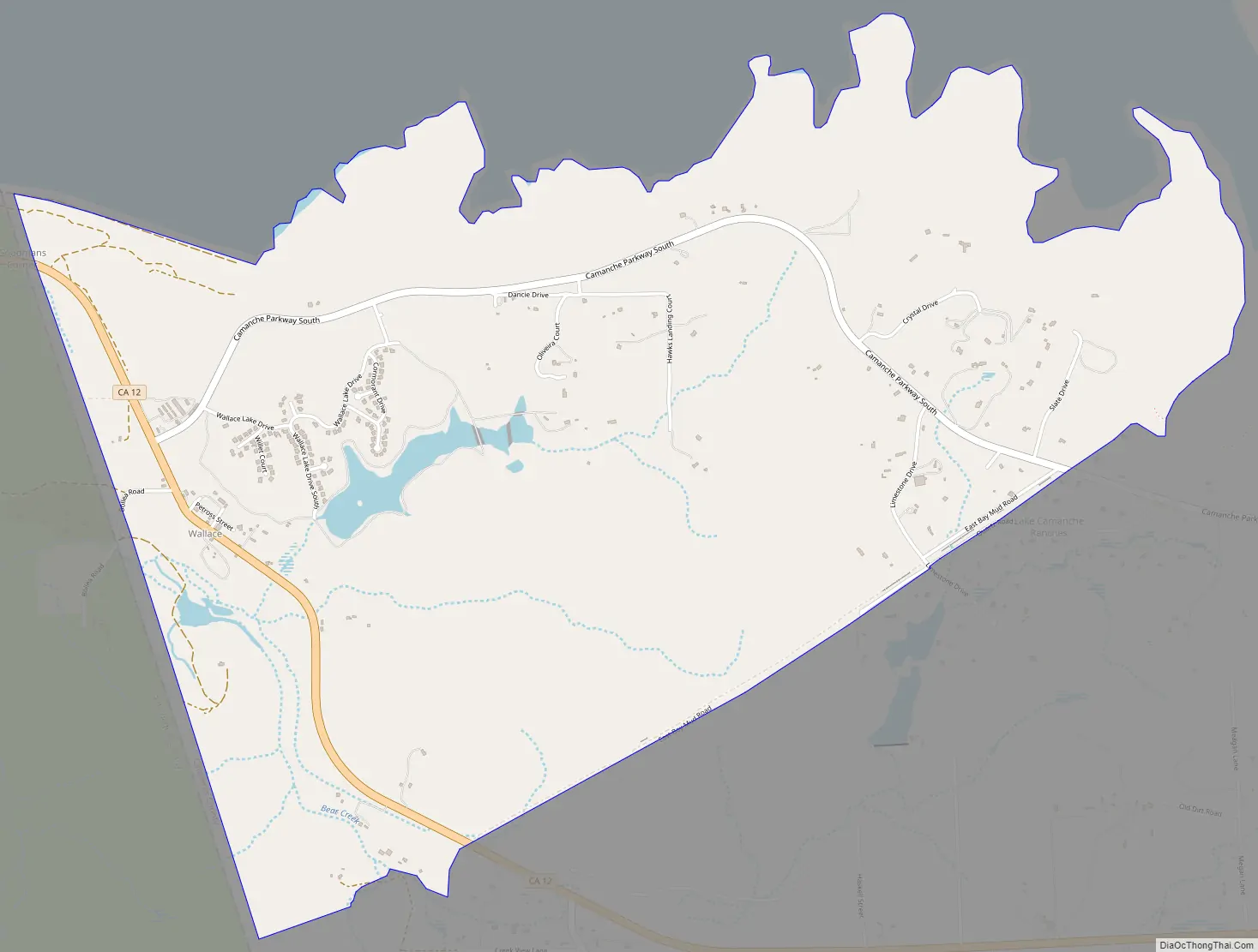
| Total Area: | 4.413 sq mi (11.429 km²) |
| Land Area: | 4.333 sq mi (11.223 km²) |
| Water Area: | 0.080 sq mi (0.206 km²) 1.8% |
| Total Population: | 403 |
| Population Density: | 91/sq mi (35/km²) |
| ZIP code: | 95254 |
| Area code: | 209 |
| FIPS code: | 0683304 |
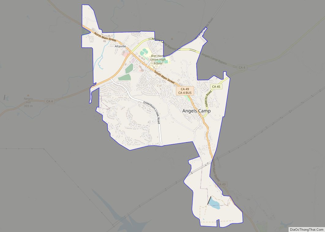
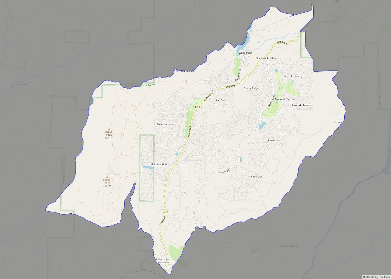
Online Interactive Map
Click on ![]() to view map in "full screen" mode.
to view map in "full screen" mode.
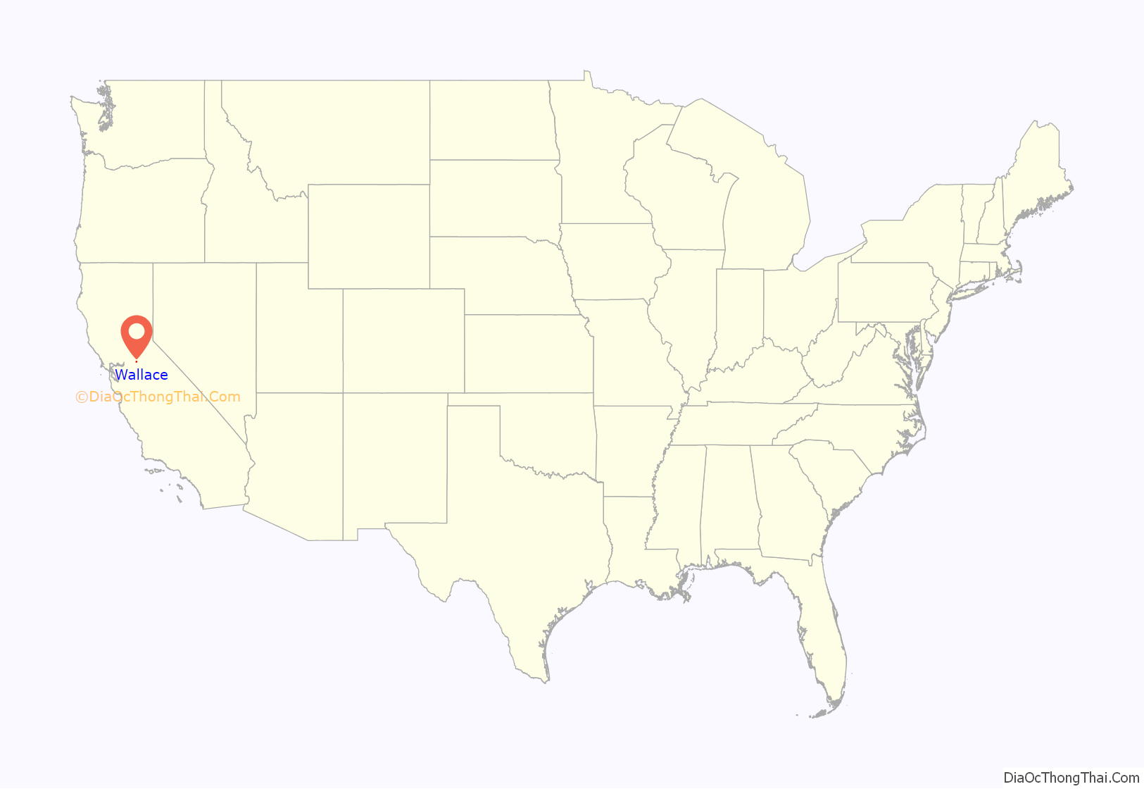
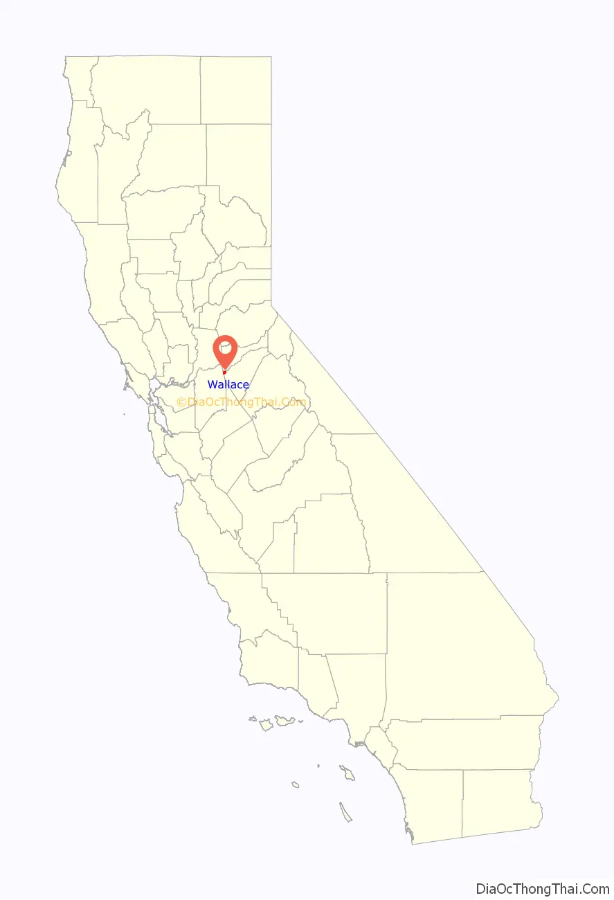
Wallace location map. Where is Wallace CDP?
History
The town’s post office was established in 1883, closed in 1945, and re-established in 1951.
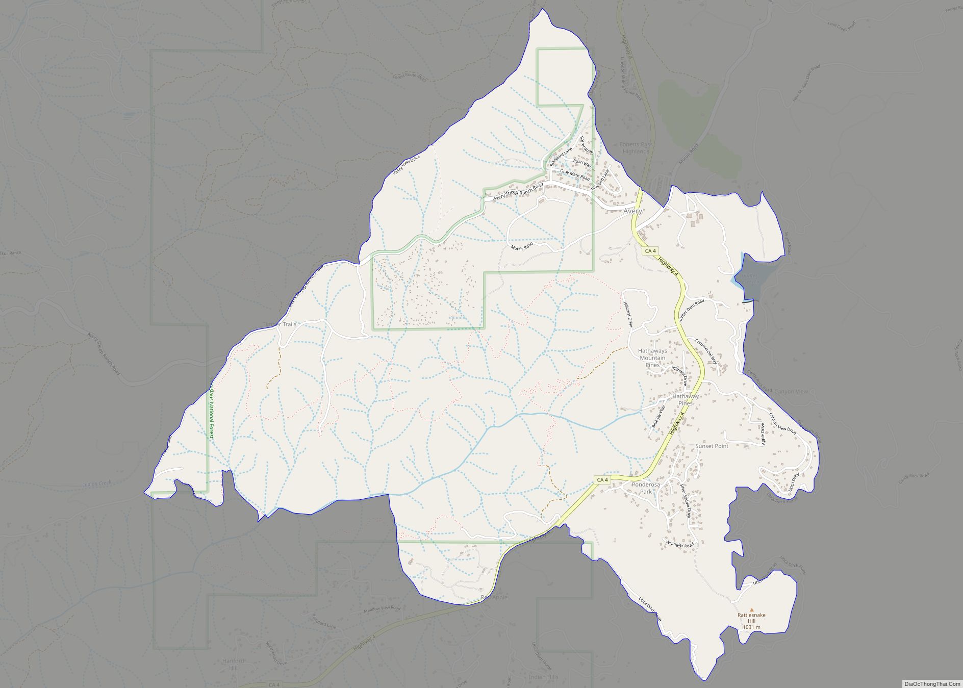
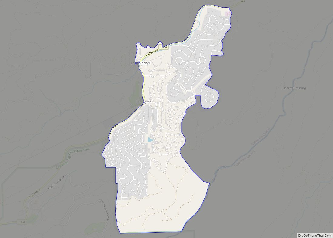
Wallace Road Map
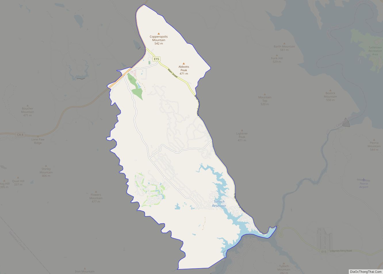
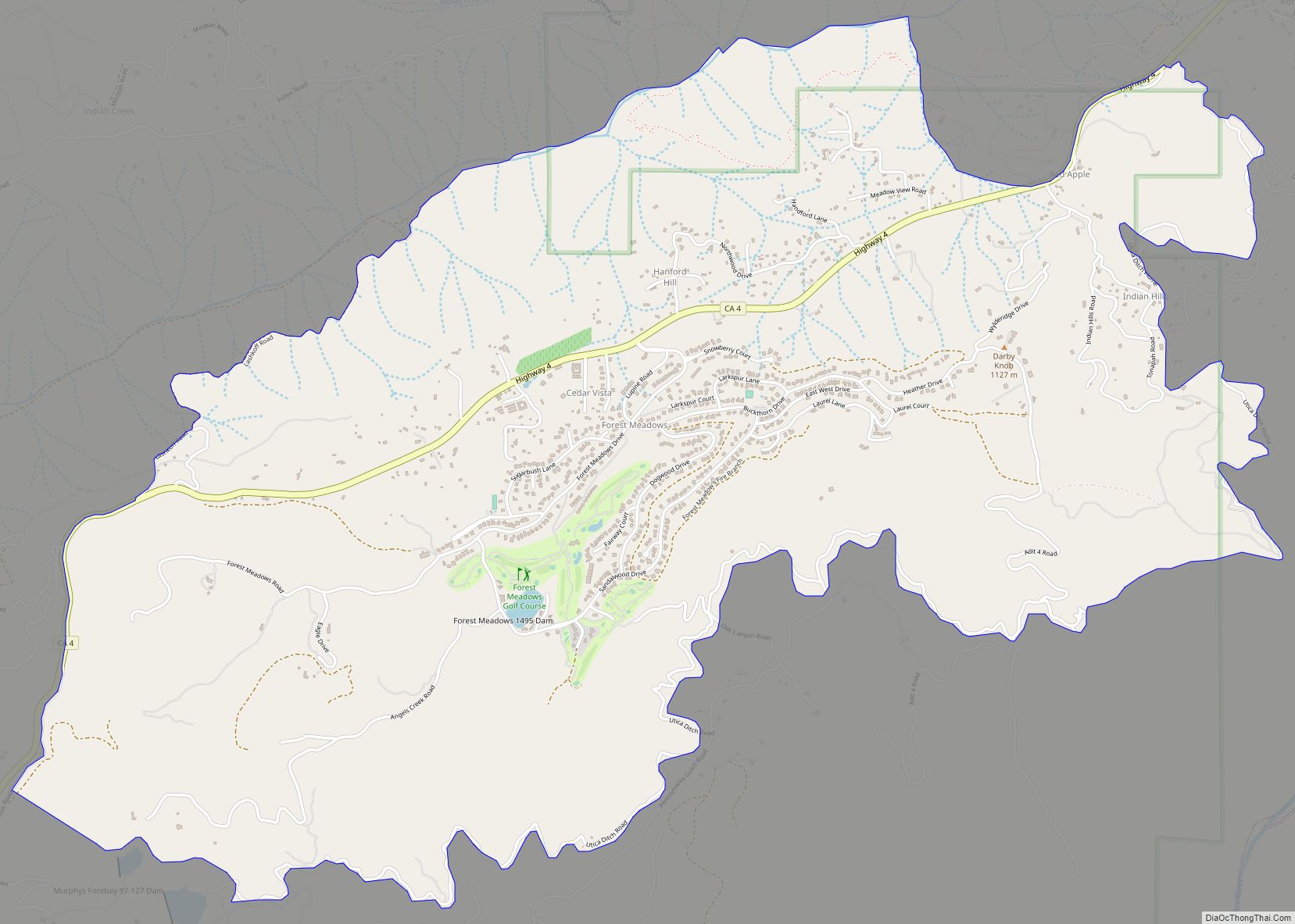
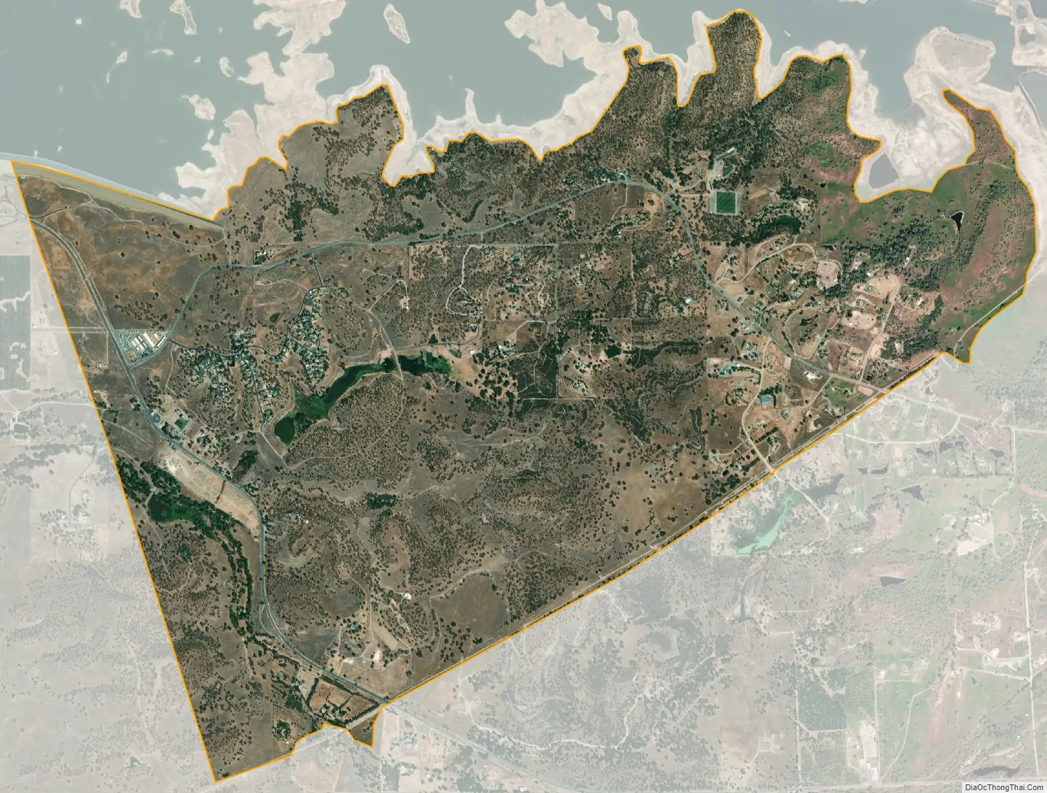
Wallace city Satellite Map
Geography
According to the United States Census Bureau, the CDP has a total area of 4.4 square miles (11 km), of which, 98.2% is land and 1.8% is water.
See also
Map of California State and its subdivision:- Alameda
- Alpine
- Amador
- Butte
- Calaveras
- Colusa
- Contra Costa
- Del Norte
- El Dorado
- Fresno
- Glenn
- Humboldt
- Imperial
- Inyo
- Kern
- Kings
- Lake
- Lassen
- Los Angeles
- Madera
- Marin
- Mariposa
- Mendocino
- Merced
- Modoc
- Mono
- Monterey
- Napa
- Nevada
- Orange
- Placer
- Plumas
- Riverside
- Sacramento
- San Benito
- San Bernardino
- San Diego
- San Francisco
- San Joaquin
- San Luis Obispo
- San Mateo
- Santa Barbara
- Santa Clara
- Santa Cruz
- Shasta
- Sierra
- Siskiyou
- Solano
- Sonoma
- Stanislaus
- Sutter
- Tehama
- Trinity
- Tulare
- Tuolumne
- Ventura
- Yolo
- Yuba
- Alabama
- Alaska
- Arizona
- Arkansas
- California
- Colorado
- Connecticut
- Delaware
- District of Columbia
- Florida
- Georgia
- Hawaii
- Idaho
- Illinois
- Indiana
- Iowa
- Kansas
- Kentucky
- Louisiana
- Maine
- Maryland
- Massachusetts
- Michigan
- Minnesota
- Mississippi
- Missouri
- Montana
- Nebraska
- Nevada
- New Hampshire
- New Jersey
- New Mexico
- New York
- North Carolina
- North Dakota
- Ohio
- Oklahoma
- Oregon
- Pennsylvania
- Rhode Island
- South Carolina
- South Dakota
- Tennessee
- Texas
- Utah
- Vermont
- Virginia
- Washington
- West Virginia
- Wisconsin
- Wyoming