Weedpatch (formerly Weed Patch and Alexander’s Corner) is an unincorporated community and census-designated place (CDP) in Kern County, California, United States. Weedpatch is 10 miles (16 km) south-southeast of Bakersfield. It is considered to be one of the poorest areas in Kern County. As of the 2010 census it had a population of 2,658.
| Name: | Weedpatch CDP |
|---|---|
| LSAD Code: | 57 |
| LSAD Description: | CDP (suffix) |
| State: | California |
| County: | Kern County |
| Elevation: | 387 ft (118 m) |
| Total Area: | 3.561 sq mi (9.223 km²) |
| Land Area: | 3.557 sq mi (9.213 km²) |
| Water Area: | 0.004 sq mi (0.010 km²) 0.11% |
| Total Population: | 2,658 |
| Population Density: | 750/sq mi (290/km²) |
| ZIP code: | 93241 |
| Area code: | 661 |
| FIPS code: | 0683863 |
Online Interactive Map
Click on ![]() to view map in "full screen" mode.
to view map in "full screen" mode.
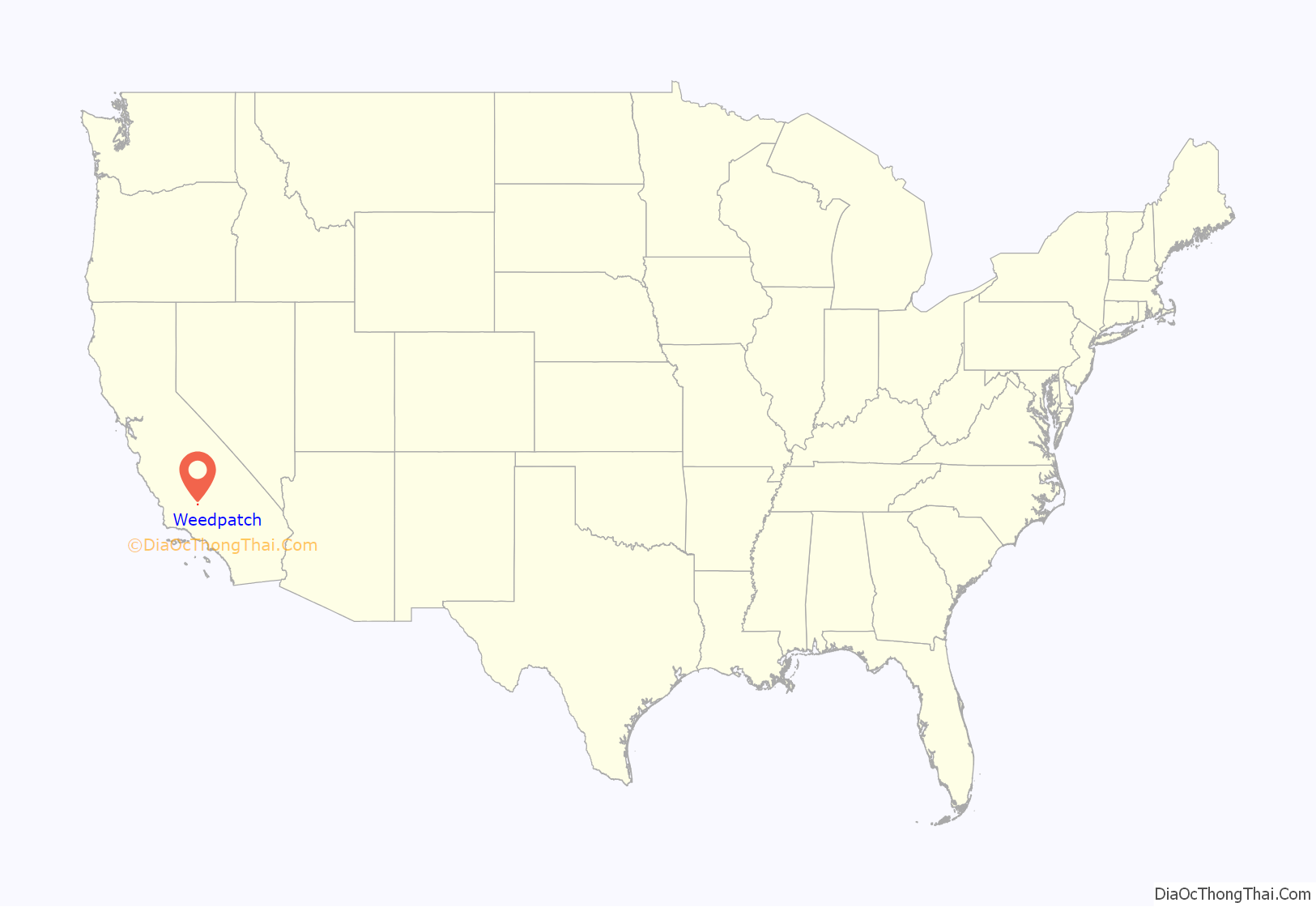
Weedpatch location map. Where is Weedpatch CDP?
History
Although the name “Weed Patch” was applied to the site as early as 1874, the community began only in 1922. The town was also named “Alexander’s Corner” in honor of Cal Alexander, a resident.
Weedpatch is the site of the Arvin Federal Government Camp, known colloquially (and in the John Steinbeck novel The Grapes of Wrath) as “Weedpatch Camp”. This camp was a government rescue center for distressed migrant workers fleeing the Oklahoma Dust Bowl, during the Great Depression. The camp still aids migrant workers and is 1 mile (1.6 km) south of Weedpatch on Sunset just off Weedpatch Highway.
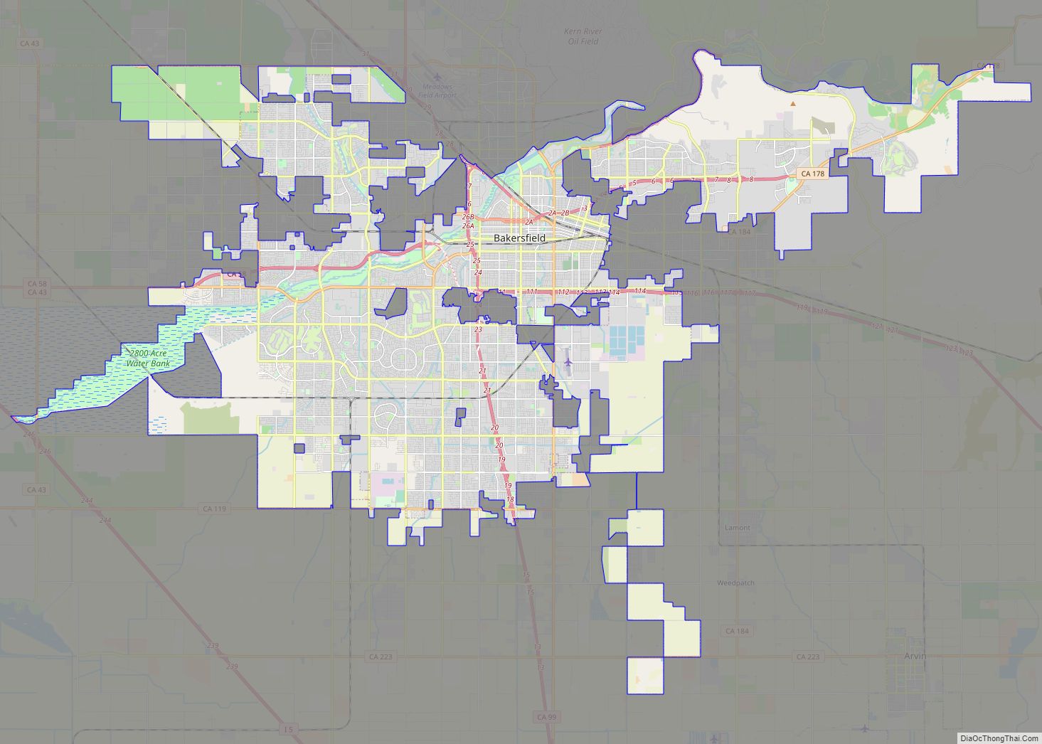
Weedpatch Road Map
Weedpatch city Satellite Map
Geography
The community, which lies at an elevation of 387 feet (118 m), is situated off State Route 184 (Weedpatch Highway) southeast of Bakersfield, south of Lamont and about 5 miles (8 km) south of State Route 58. It is at 35°14′17″N 118°54′54″W / 35.23806°N 118.91500°W / 35.23806; -118.91500. According to the United States Census Bureau, Weedpatch has an area of 3.6 square miles (9.3 km).
See also
Map of California State and its subdivision:- Alameda
- Alpine
- Amador
- Butte
- Calaveras
- Colusa
- Contra Costa
- Del Norte
- El Dorado
- Fresno
- Glenn
- Humboldt
- Imperial
- Inyo
- Kern
- Kings
- Lake
- Lassen
- Los Angeles
- Madera
- Marin
- Mariposa
- Mendocino
- Merced
- Modoc
- Mono
- Monterey
- Napa
- Nevada
- Orange
- Placer
- Plumas
- Riverside
- Sacramento
- San Benito
- San Bernardino
- San Diego
- San Francisco
- San Joaquin
- San Luis Obispo
- San Mateo
- Santa Barbara
- Santa Clara
- Santa Cruz
- Shasta
- Sierra
- Siskiyou
- Solano
- Sonoma
- Stanislaus
- Sutter
- Tehama
- Trinity
- Tulare
- Tuolumne
- Ventura
- Yolo
- Yuba
- Alabama
- Alaska
- Arizona
- Arkansas
- California
- Colorado
- Connecticut
- Delaware
- District of Columbia
- Florida
- Georgia
- Hawaii
- Idaho
- Illinois
- Indiana
- Iowa
- Kansas
- Kentucky
- Louisiana
- Maine
- Maryland
- Massachusetts
- Michigan
- Minnesota
- Mississippi
- Missouri
- Montana
- Nebraska
- Nevada
- New Hampshire
- New Jersey
- New Mexico
- New York
- North Carolina
- North Dakota
- Ohio
- Oklahoma
- Oregon
- Pennsylvania
- Rhode Island
- South Carolina
- South Dakota
- Tennessee
- Texas
- Utah
- Vermont
- Virginia
- Washington
- West Virginia
- Wisconsin
- Wyoming
